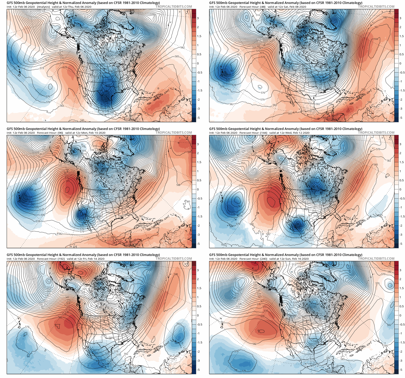
2-6-2020 – 9 PM – A ridge of high pressure is ruling our weather at this time, it’s position is such that the NE winds are still blowing over the top of Mammoth Mountain today. I would expect more east winds on Friday, but at much less speed then we have seen this week. Winds should turn southwest later in the day into the early evening hours on Friday.
The ridge will be replaced be an inside slider that moves in late-night on Saturday into early Sunday. It slides into the great basin and then moves SE into So Cal and then moves to the east. This system will bring moderate to strong winds once again out of the NE, this is not the type of pattern that brings much more then a dusting to an inch of new snow if we get lucky.
Like like I have said in the past few weeks, everyone gets all excited when the models show a foot on a storm 7-10 days out and by the time it gets here it’s down to nothing really. The pattern tends to repeat itself so ignore the hype.
Until one of these lows moves off the coast and picks up some moisture we will be getting just a dusting of snow. I have seen this pattern surprise people in the past when all of a sudden the train of sliders do dig off the coast and then BOOM dump-age.
The bottom line is during years when the northeast flow is ruling we are in the midst of a drought cycle. It sucks for sure but there are still some good turns to be had while we wait for a change.
Most years when winter is a bust the pattern will break down and it’s possible for a wet end to winter with a cool showery spring.
Snowman out…
PS Check out the WeatherGuys Blog page for a more detailed look at the Power Outlook and Long Range Weather Forecast. Here is the link.


