
1-26-2021 8 AM – Good morning everyone, we have clear skies from Mammoth Lakes to Bishop.
Up top, the temperature is 2 with an SW wind @ 18 MPH gusting to 20 MPH. Down at Main Lodge, the temperature is 8 with winds SSW at 18 MPH gusting to 23 MPH. The base at the 9000-foot level is at 31 inches this morning.
In Mammoth Lakes, the temperature is 7 with light winds. Down in Bishop this morning the temperature is 14 with calm winds.
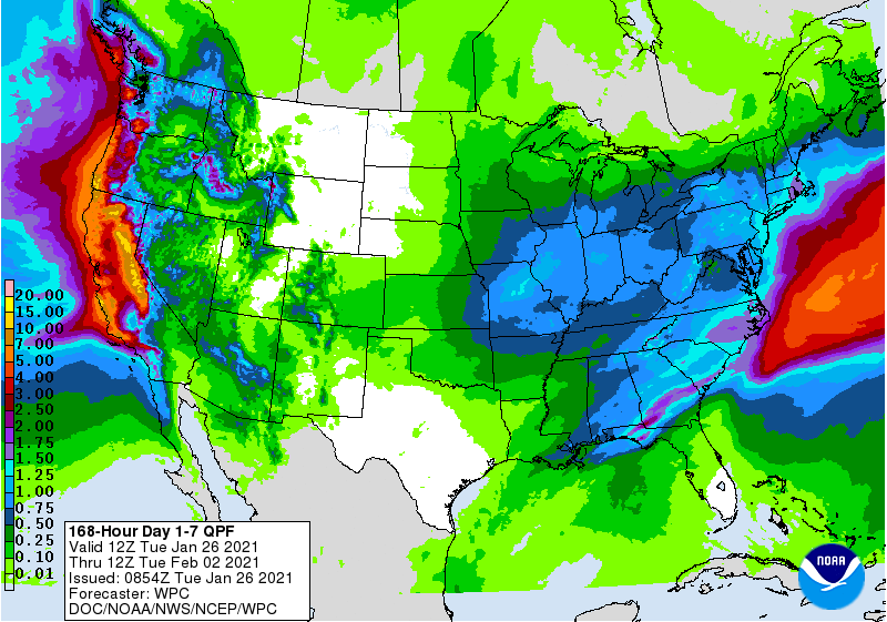
**Winter Storm Warning Tuesday night into Friday AM for Mammoth Mountain, Mammoth Lakes & Crowley Lake. Expect snowfall totals in the 4 – 8+ feet range by late Friday above the 7500-foot levels.
There is a Winter Storm Warning posted for the Owens Valley, snowfall amounts from Lone Pine to Bishop are forecast in the 6-12+ inch range with a mix of rain at times.
Beware if you have travel plans Wednesday into Friday morning, traveling up Highway 395 during that time period is going to be a nightmare and is not advised. Chain controls with a speed limit of 25-35 MPH will be in place for over 100 miles.
Road Conditions: The chains required sign is up at the junction of 203 and 395 this morning. To see what the current road conditions look like check out our road conditions webcams page.
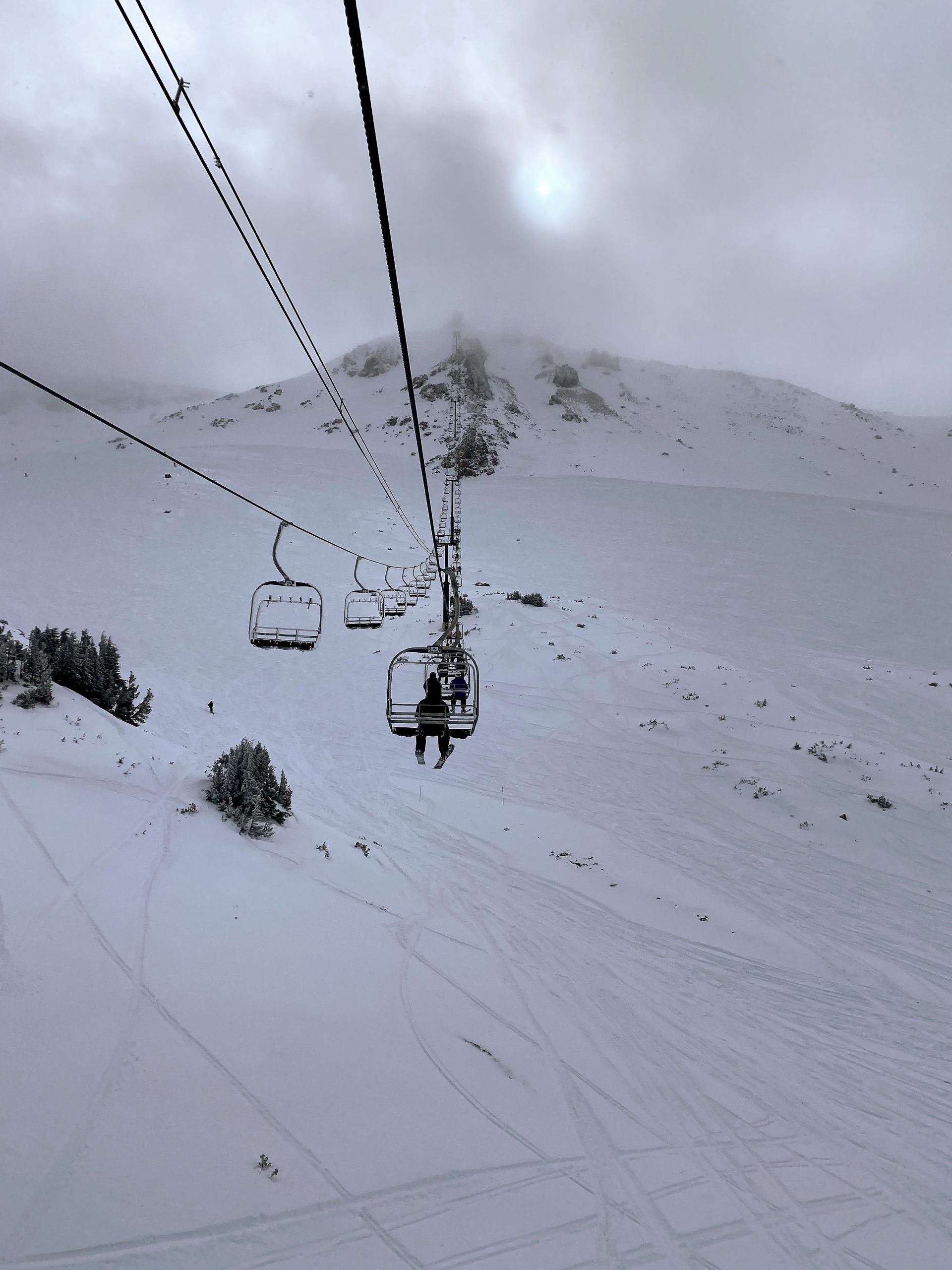
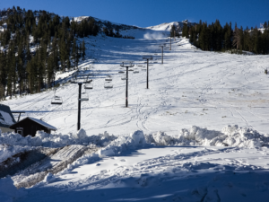
Mammoth Mountain Snow Report: Monday was an amazing day with knee-deep powder in the wind favored locations above 9500 feet in the powder fields of Mammoth Mountain. In areas that we’re not wind loaded you still hit the hard base underneath the fresh snow. It’s still low tide so you had to watch for rocks
The groomers are back to a nice mid-winter packed powder surface from Canyon Lodge over to Main Lodge. Today the corduroy snow should be great from the first bell at 8:30 AM.
If you’re planning on riding this next storm please be aware that with the excessive snowfall rates that are predicted to fall there will only be a few lifts running on Wednesday and Thursday. Do not be surprised if the entire mountain is closed at times.
Once the storm does clear out it’s going to take a fair amount of time to get everything back up and running so be prepared to wait. It looks like it will be mid-day Saturday before we clear out, we might even have to wait for Sunday for that to happen.
The weather outlook shows more wind and heavy snow for late Monday into Tuesday. If you’re looking for perfect bluebird days you’re going to have to wait about 10 days at least for that to happen.
All lifts should be up and running by next Sunday with just about every run on the hill open if the predicted amounts of snow do come to true. Confidence is very strong at this point that the mountain and town will get multiple feet of snow.
Please note there will be no gondola access from Mc Coy station this season, you will need to load at the bottom station.
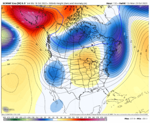
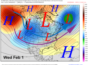
Mammoth Mountain Weather Forecast: The biggest storm of the season is on track to hit late tonight with periods of very heavy snow and gusty winds well into Friday. WeatherGuy will have a full detailed update later today by 5 PM.
The forecast for today at the 9000-foot level is calling mostly sunny skies, with a high near 17. Expect a southwest wind @ 5 to 10 mph. There should be increasing clouds and winds during the pm hours with snow showers possible just before sunset.
On Wednesday expect snow. The snow could be heavy at times with a high near 20. It will be windy, with a south wind 30 to 35 mph. Winds could gust as high as 60 mph with blizzard conditions at times. The chance of precipitation is 100%. New snow accumulation of 22 to 28 inches will be possible before sunset.
The heavy snow at times will continue at least thru Thursday night with cloudy skies and snow showers through the day on Friday.
The weekend outlook calls for snow showers Saturday AM with clear skies on Sunday.
Powder Forecast from Ted Schlaepfer CCM —- Mammoth Mountain WeatherGuy
**Snowfall forecast confidence ranges from very low (1) to very high (5)
Forcast for the Snow Study Site at 9000 Feet @ the 6 AM Hour
Wed 1/27 = 10 – 12” (H2O = 1.00” – 1.25”) **4
Thu 1/28 = 36 – 44” (H2O = 4.00” – 4.50”) **4
Fri 1/29 = 26 – 34” (H2O = 3.00” – 4.00”) **3
Sat – Mon 1/30 – 2/1 = 12 – 20”
January Snowfall = 11”
January Forecast = 80 – 100”
To get the full Mammoth WeatherGuy Powder Forecast use this link
 Please support our sponsors: If you’re looking for ski or snowboard rentals, Black Tie Ski Rentals of Mammoth will serve you right at your home or condo. No need to come into town and go inside a shop to get your gear. Use this link to reserve your rentals and get the Snowman 20% Discount.
Footloose is also open for all your winter gear needs for inbounds and back county skiing. If you have any type of boot pain their expert boot fitters are waiting to help you fix your pain.
If you’re going to have your boots worked on you must use this link and set up an appointment before going in. The appointments are great as you get service right away without having to wait as you did in the past.
Over at Fast Ski Sport, they are offering a Free Hot Wax and they also offer a great tune-up so your edge will be ready for the firmer snow we have at this time.
If you’re traveling up 395 make sure to stop at Fort Independence just north of the town of Independence. They have gas, food and supplies, and a drive-thru dispensary.


