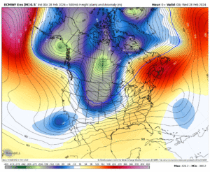
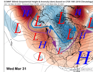
 For Friday and Saturday, we warm up with highs 7-10 degrees above average with increasing SW winds later on Saturday.
Highs at the 9000 foot level will be into the upper 40s to low 50s with overnight lows in the 20s.
Winds will be SW at 15-30 MPH with gusts to 40 MPH over the higher elevations later on Friday with gusts to 50+ MPH possible on Saturday. Winds will be much lighter over the lower elevations
Down in Mammoth Lakes expect mid 50s the next couple days with Bishop into the low to mid 70s. Overnight lows will in the 20s in the high country with Bishop and Round Valley into the low 40s.
Then on Sunday, Winter will be making its comeback out on Mammoth Mountain. 🙂
Expect increasing clouds and moderate to strong winds with stronger gusts to 80 -100 MPH possible over the top. Sunday night into Monday we are going to see moderate to heavy snow and snow showers likely at times.
Snow levels looks to start out high above 8000 feet and then drop down to around 6000 feet late Sunday into early Monday.
That means snow down onto the upper sections of the Sherwin Grade are possible. Have your chains ready to show CHP and be ready to put them on if you don’t have snow tires or a 4 x 4.
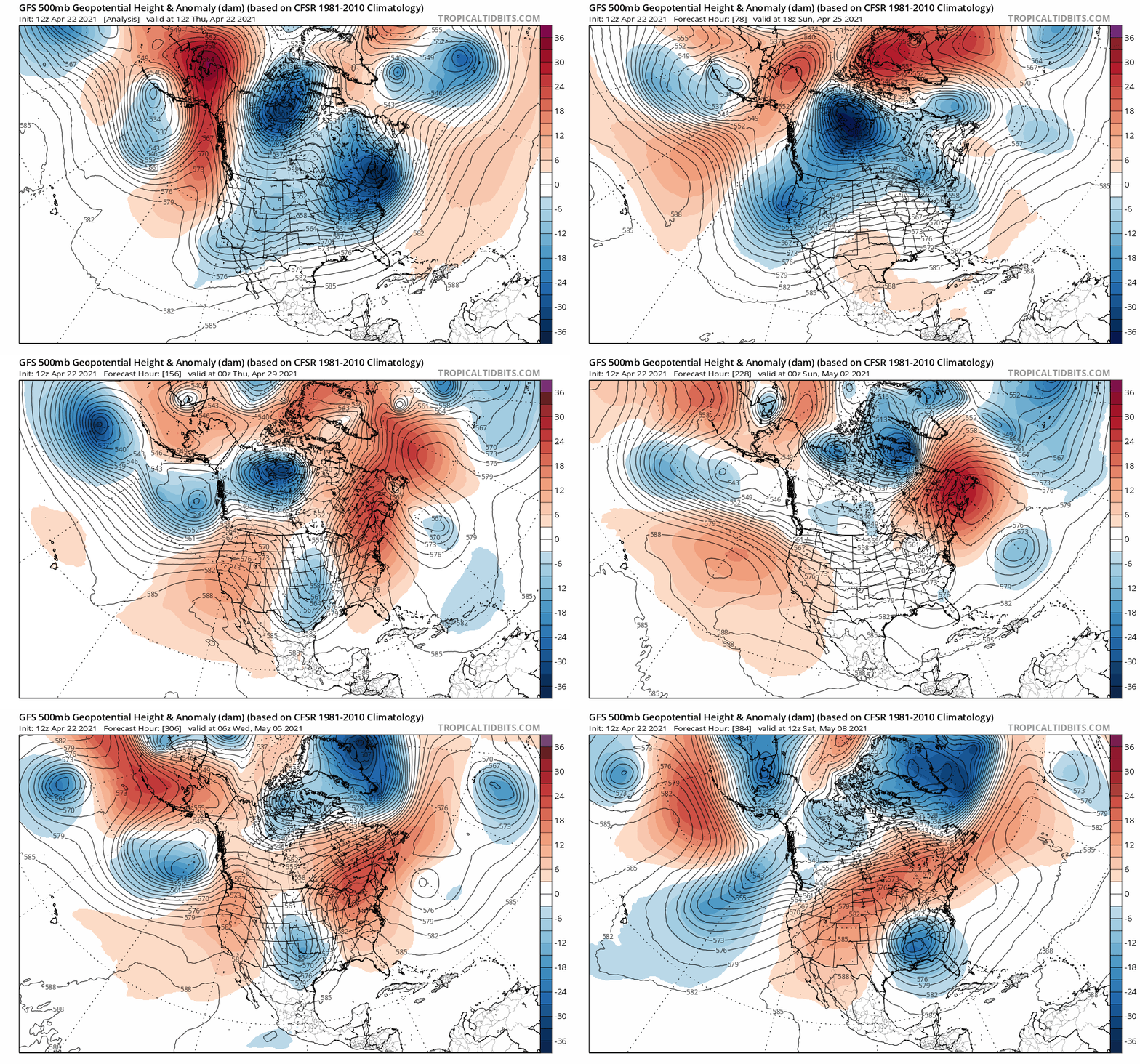
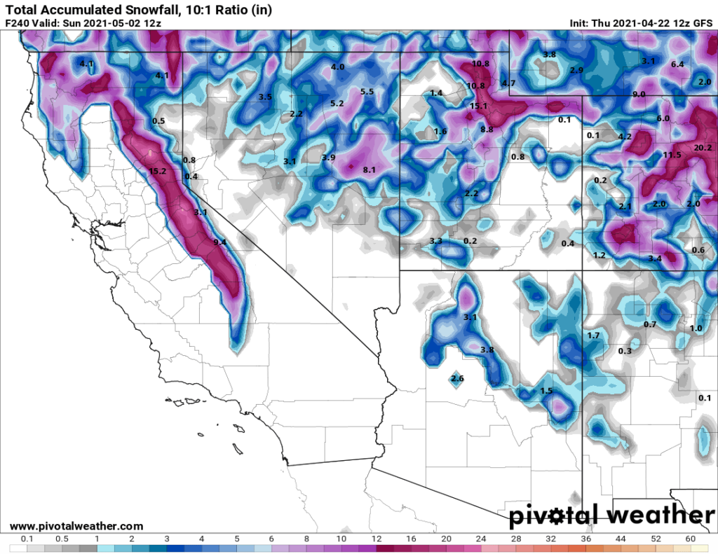
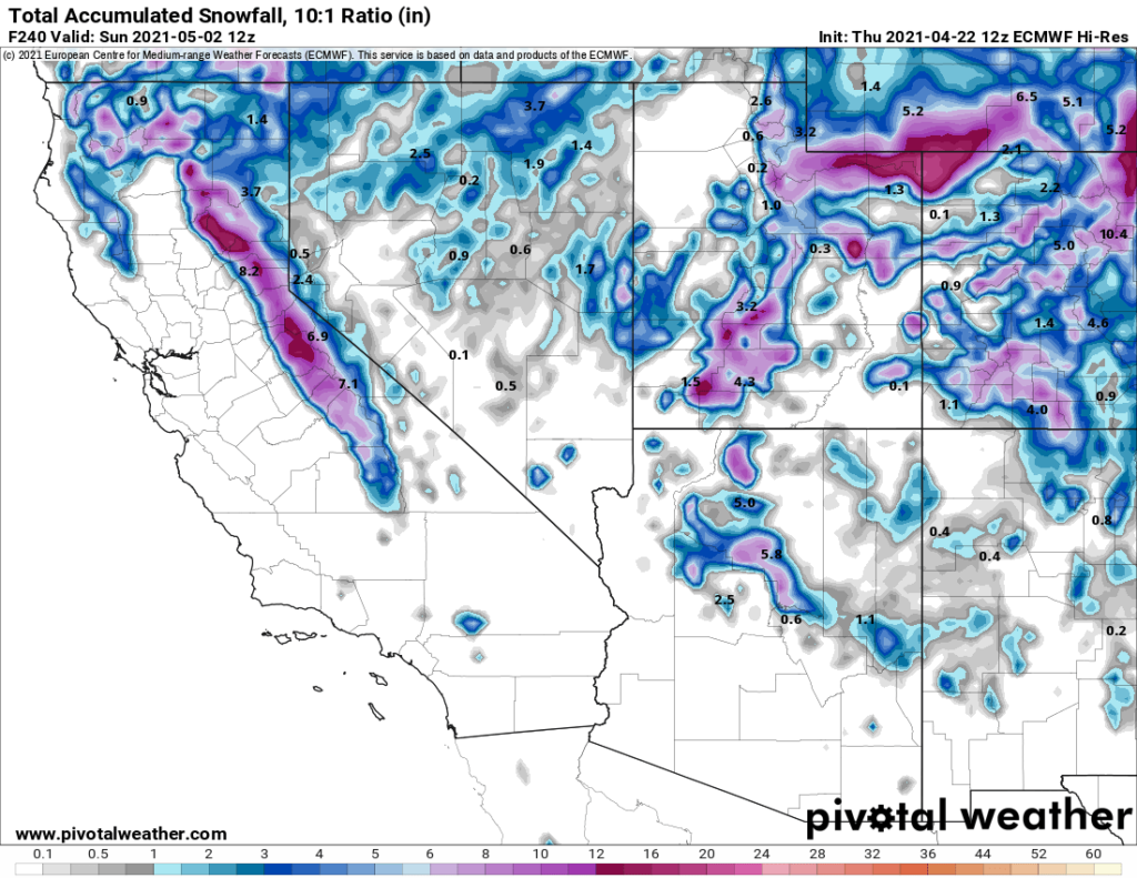
So how much snow could we get Sunday into Monday? Well there is a big mix coming in from all the weather models I look at so as of this afternoon the first call will be 3-6 inches possible in Mammoth Lakes after some rain to start with.
At Main Lodge 9-12+ inches with 12-16+ inches possible up top. It’s still Thursday so confidence in these numbers is low at this point.
I will have a fresh update on Saturday and of course WeatherGuy will be posting on Friday PM with his insight on the powder that’s possibly on the way.
For now get outside and enjoy the day, Snowman out…
PS: Please consider supporting and partnering with us because You love seeing my posts, reports and photos/videos of the area. Here is the link to learn more.
