5-14-2021 Friday @ 9 AM Taking a look at the weather this Friday morning, it looks like one more day of some really nice spring weather with a few cloud build-ups in the area.
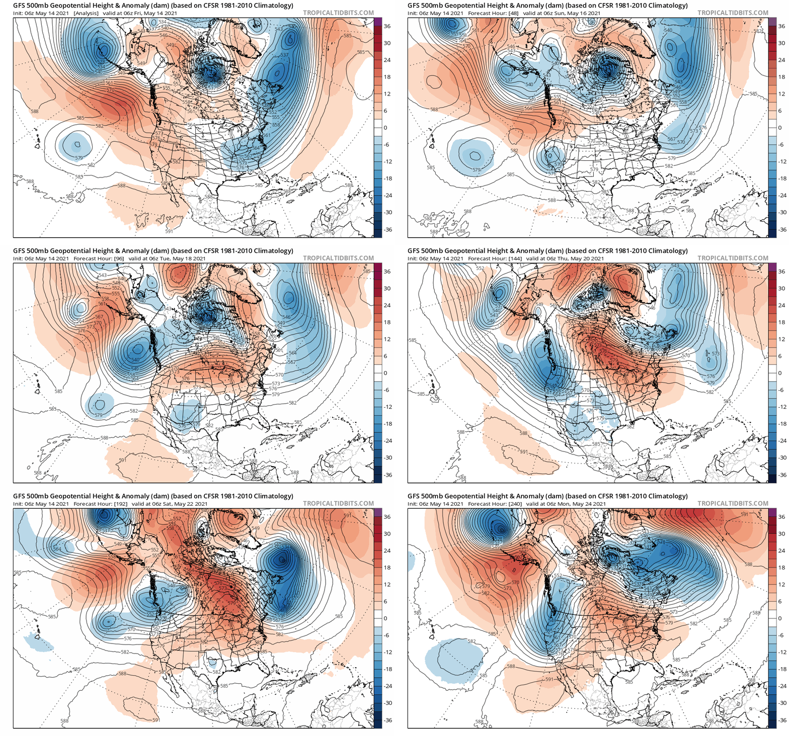
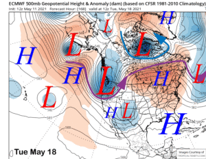
On Saturday a low-pressure system starts to move in and the result will be more numerous build-ups and a 30 chance of some rain on Saturday afternoon.
Snow levels will be near 9000 to 9500+ feet with just a dusting of snow over the top of Mammoth Mountain and down the Sierra Crest to South Lake.
Lower elevations could see a few showers on Saturday, but it will be hit and miss with just light rain if any at all.
Then on Sunday, the rain and snow chances go up to 50-60% over the higher elevations with a 30 – 40% chance of the lower elevations of the Eastern Sierra.
Snow levels on Sunday look to come up to above 9500-10,000 feet with a mix of snow and rain at Main Lodge possible.
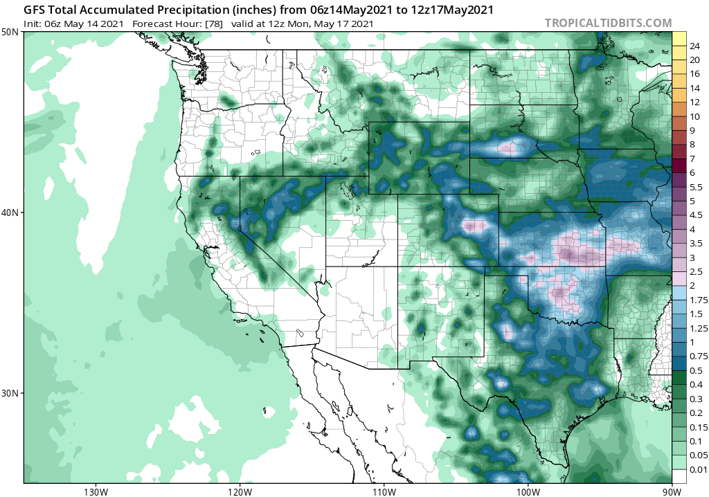
QPF for the weekend into early next week is low at .25 – .35. If those amounts do come thru and it’s just a bit cooler than forecast we could see 2-3 inches of heavy wet snow over the top of the mountain.
Taking a look at the wind forecast over the higher elevation winds will be out of the southwest this weekend at 25-35 MPH with stronger gusts possible if there happens is a stronger t storm develops.
Winds at the lower elevations will be in the 15-25 MPH range at times also out of the SW. If there happens to be a moderate to a strong storm that sets up for the lower elevations winds could gust much stronger.
As we move into early next week I still see a 20-30% chance of T – Storms with snow levels at 10,000 to 11,000 feet.
Please note that even with some rain in the area the Fire Danger is Extreme and is going to remain that way up until the first snowfall next Fall.
If you’re coming over the next few months please beware you will not be allowed to have campfires and BBQs going if you’re dispersed camping. Don’t be the jerk he starts a fire up here, please.
