Mammoth Mountain & Eastern Sierra Recreational Weather Forecast
Tuesday, October 5th, 2021 @ 9:46 AM
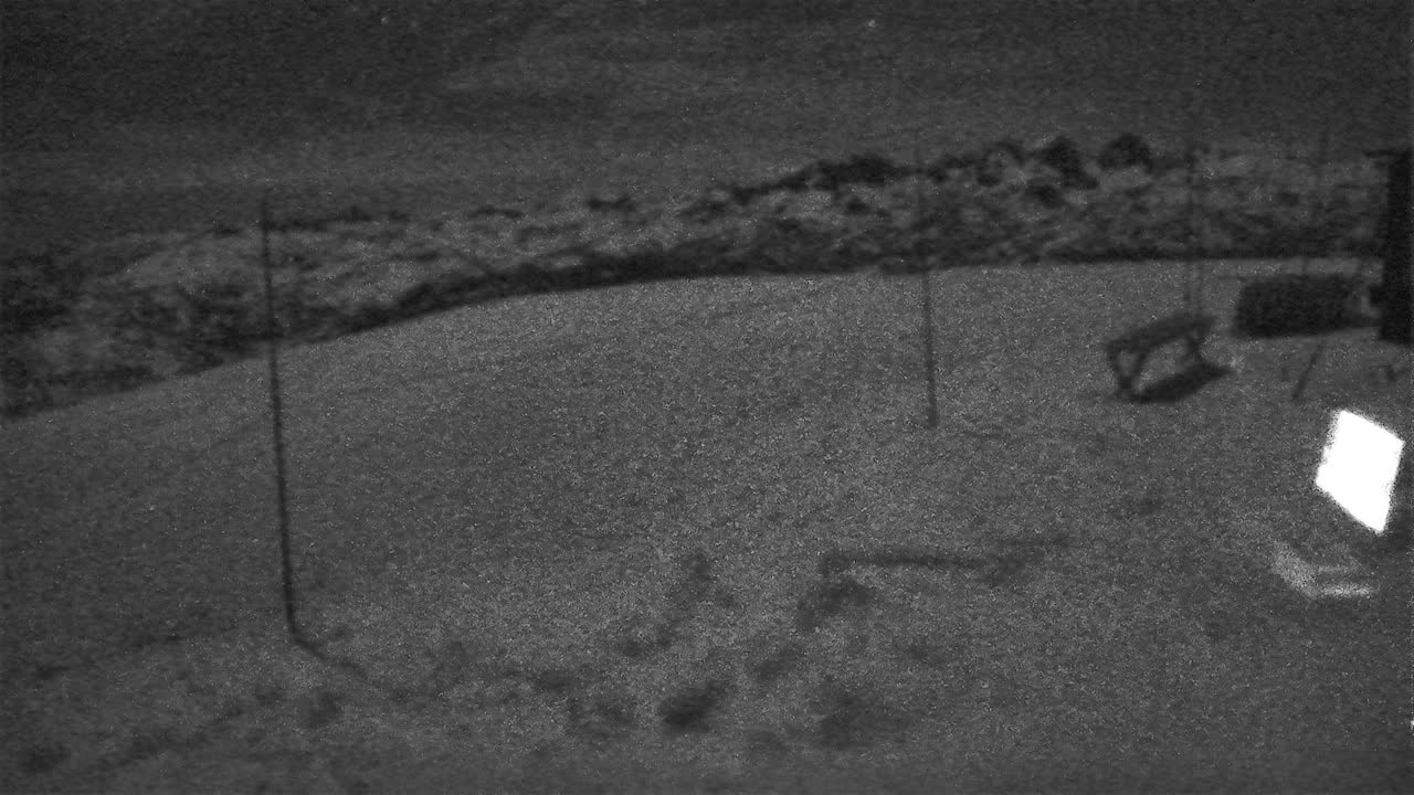
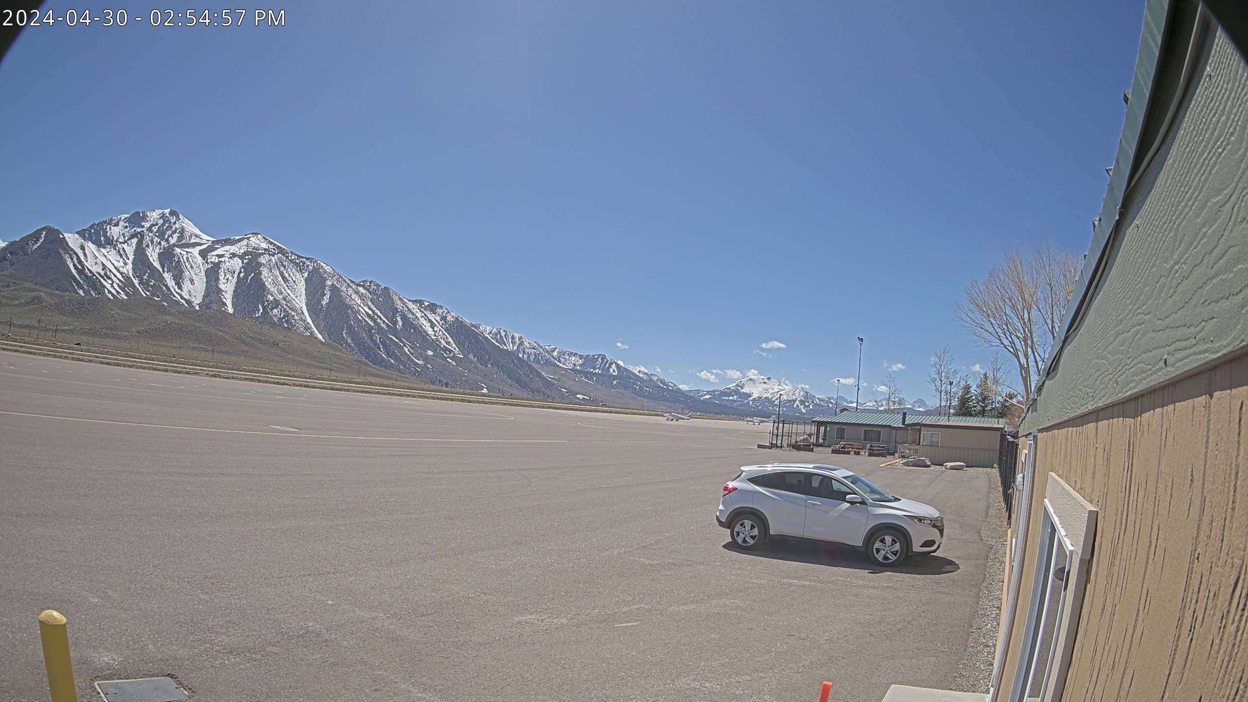
Good morning, checking the window cast we have moderate smoke and haze in the area from Mammoth Lakes to Bishop.
Taking a look at local conditions the last couple of days. Yesterday at the top of Mammoth Mountain there was a high of 47, the low this morning was 36. The peak wind gust on Monday was 32 MPH out of the WSW. This morning’s peak gust has been 18 MPH out of the WSW.
In Mammoth Lakes, the temperature peaked at 62 degrees on Monday with a low of 45 degrees this morning. Winds in town have been out of the WNW with peak gusts of 14 MPH on Monday.
Down in Bishop on Monday, there was a temperature of 79 degrees with a low of 42 degrees this morning. There was a high deck of smoke yesterday that kept down high temperatures in Bishop.
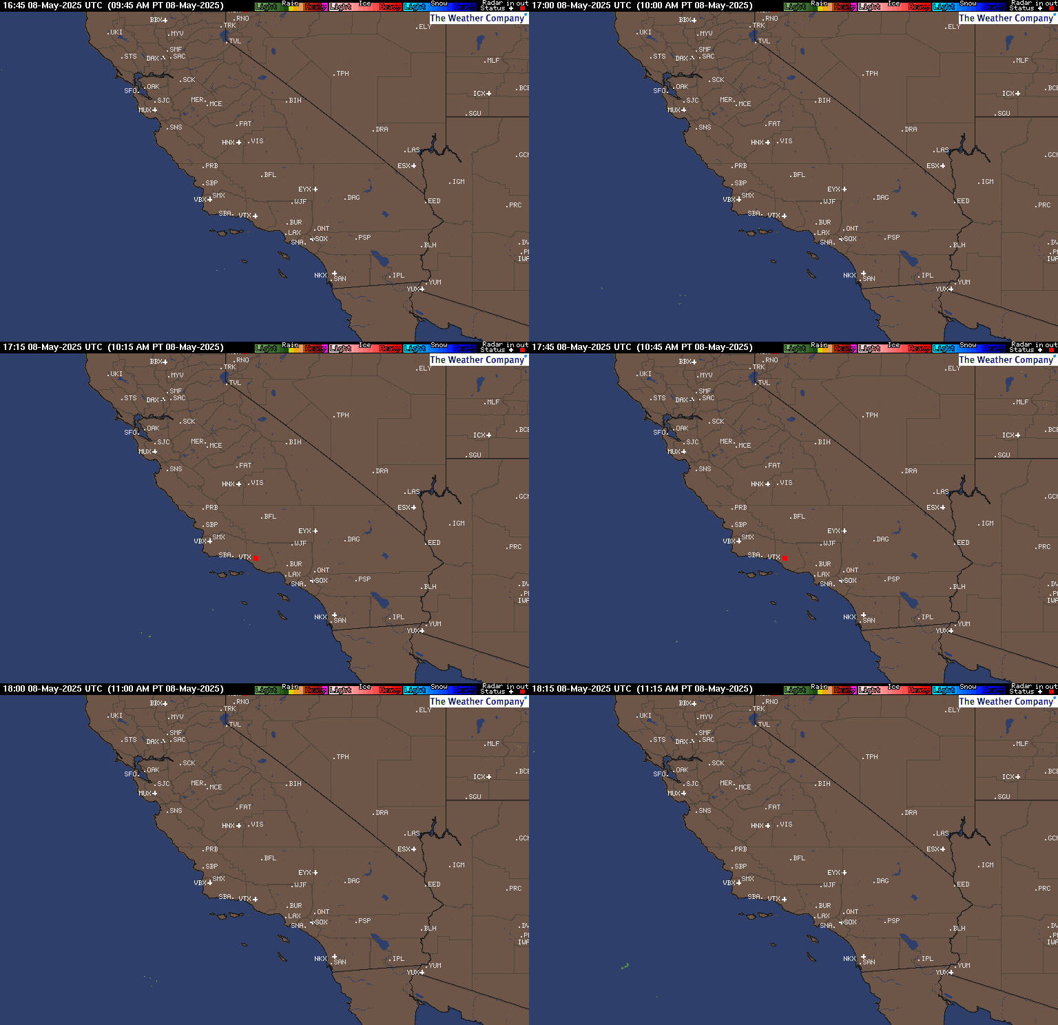
Precipitation and Snowfall: Slight chance of rain and snow on Wedensday PM and overnight. Snow Levels will be around 9500 feet and then rise up to just over 10,000 feet. Thursday there is a chance of rain and snow with snow levels at 9000 rising above 9500 feet during the day.
Thursday night into Friday evening look for snow showers with 1-2+ inches of wet snow possible above 8500 – 9000 feet.
Temperatures: As we go thru the week temperatures will be coming down a good 10-15 degrees by Friday, with more cooling this weekend. Looks like below-average highs will be with us into mid-month.
For today Mammoth Mountain and the Mammoth Lakes Basin area highs will be in the upper 50s with lows in the upper 30s. On Wednesday highs will be in the low 50s with upper 40s for Thursday.
Mammoth Lakes today will have highs in the upper 60s to near 70 with night times lows in the upper 30s to low 40s.
Bishop and Round Valleys look for highs in the low 80s today with nighttime lows in the mid-40s. Wedensday and Thursday highs will be in the 70s and then 60s on Friday and Saturday.
Winds: Expect winds out of the WSW today and then turning to the SW on Wednesday, look for low wind speeds in all the lower elevations the next 24-36 hours with ridgetop winds at 20- 30 MPH at times.
Here are the links to the local NWS Forecasts for Main Lodge & the Mammoth Lakes Basin, Mammoth Lakes, June Lake, Crowley Lake, and Bishop.
Fire and Smoke Forecast: Smoke and Haze is in the forecast into Wednesday when the incoming low should start to blow this junk out of the area.However the HRRR smoke model keeps the area smoky into Friday so we will have to wait and see how it pans out now.
