Mammoth Mountain & Eastern Sierra Weather Forecast
Mammoth Mountain & Eastern Sierra Recreational Weather Forecast
11-11-21 – Through the weekend expect Spring in Fall on Mammoth Mountain. Lows will be in the mid to upper 30s with daytime highs into the mid-50s at the Main Lodge. Winds should be light over the period.
The next change could possibly be by the middle of next week when cooler temperatures arrive.
As far as any storm action goes in the next couple of weeks, the weather is looking fair and dry with just a dusting of snow possible to an inch or two.
The next chance for a series of storms looks to be possible right after the Thanksgiving Holiday into early/mid-December.
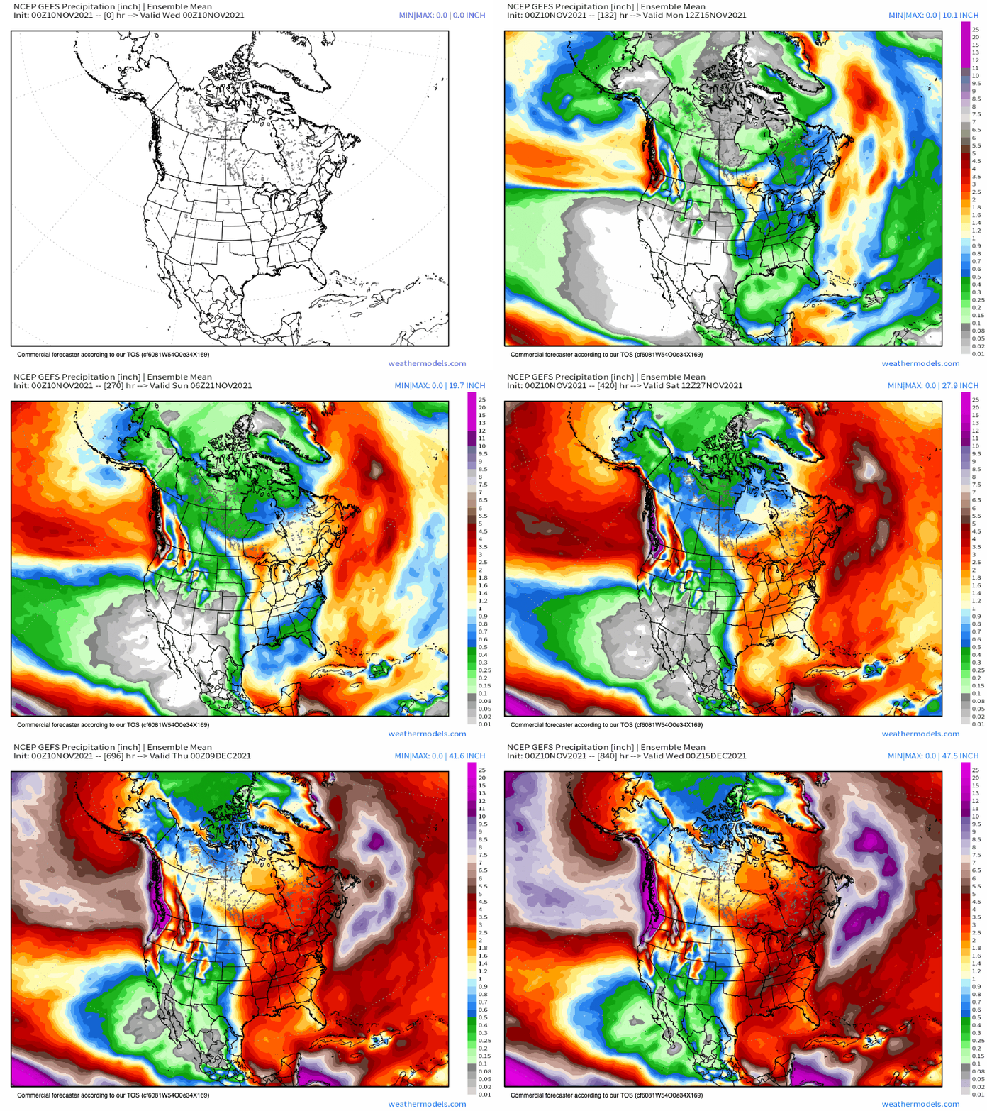
The longest range fantasy models go out to December 15th and most of them show Mammoth getting several feet of snow by that time frame.
For now, let’s hope we can get some cold air in here next week to resume snowmaking.
11-8-21 @ 9:12 AM – The next storm system coming in will arrive tonight. This system is the opposite of what we normally see, with snow levels coming up during the event.
As of this morning, the snow levels look to start around Crowley Lake and then rise up to 9000 feet or higher by mid-day on Tuesday.
Snowfall amounts at Mammoth Mountain will be in the 2-4 inch range for Canyon, 5-10 at Main Lodge and 12 to possibly 18 inches over the Powder Fields of Mammoth Mountain.
Snowfall ratios will be in the 8-1 range on average but will be lower by mid Morning on Tuesday. That means the snow will be getting wetter as this storm progresses. As ratios go up that will also limit the amount of accumulation the mountain gets.
The bottom line is these are the kind of storms we need to have a decent base built up top early in the season. When we get to the next storm cycle snow levels should be much lower the entire event.
Once this system moves out a ridge of high pressure moves in and it will feel like Spring in Fall once again at all elevations Thursday through the weekend.
There are no signs of winter setting in anytime soon. This is what you expect in November, a bit of snow followed by warmer days
Right now we are still way ahead in the snow base building game compared to the last few early seasons.
Temperatures for your outdoor fun Mammoth Mountain @ 9000 feet today highs will be in the upper 30 to low 40s with mid to upper 30s on Tuesday.
Starting Wednesday there will be a warming trend. Highs will come up into the low 40s on Wednesday then Thursday into Sunday highs will be in the upper 40s to low 50s. Lows at night will be in the low to mid-30s into Sunday.
Winds at Mammoth Mountain above 9500 feet: today expect a southwest wind of 15 to 20 mph, with gusts as high as 30 mph. Then on Tuesday southwest wind will be 30 to 35 mph decreasing to 25 to 30 mph in the afternoon. Winds could gust as high as 55 mph.
Winds will be much lower down on Broadway and around the Main Lodge at 15-20 with gusts to 30 MPH. Lower elevation winds will be 10-15 with gusts to 20 mph into Tuesday evening.
Snowmaking: Looking at today’s temperature outlook for snowmaking lows are going to be a bit too warm for productive snowmaking over the next week.
There are some signs of a change to colder air around mid-month that would allow the snowmaking crews to blow again.
Lower Elevations Temperatures: Mammoth Lakes highs will be in the 40s for Monday and Tuesday and then 50s the rest of the week with upper 50s to possibly lower 60s by the weekend.
Bishop & Round Valley Area highs will be in the low to mid-60s the next couple of days and then into the low 70s through the weekend.
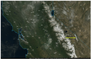
Here is your current satellite view of the incoming storm system just off the Northern California Coast.
Here is the most current of the HRRR storm totals with 6-12 inches for Mammoth Mtn with a chance for up to 18 inches over the Powder Fields above 9800 feet. ( This will be base snow not powder…)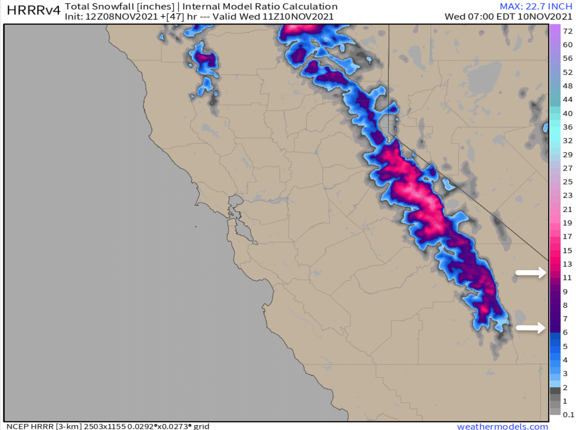
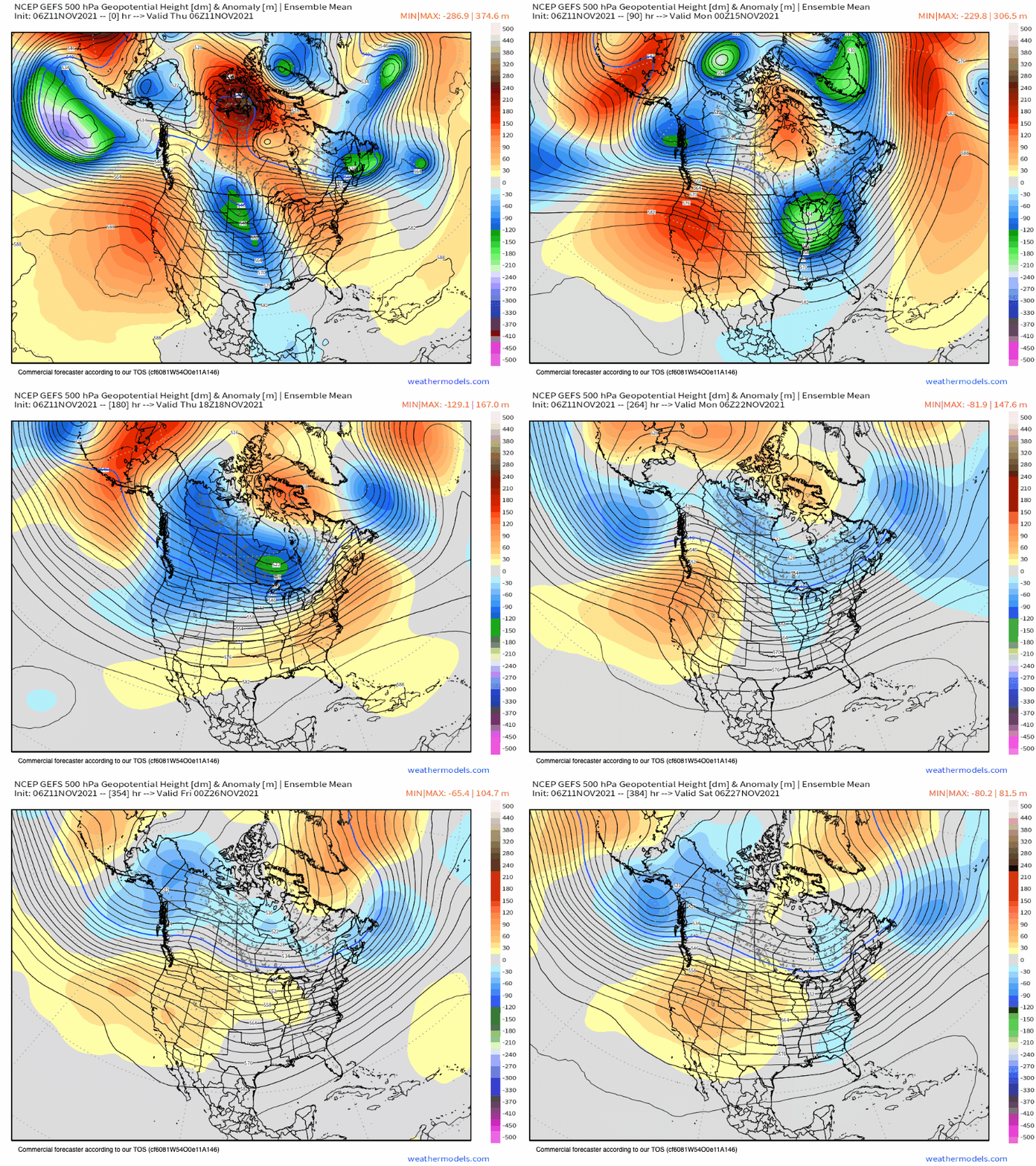
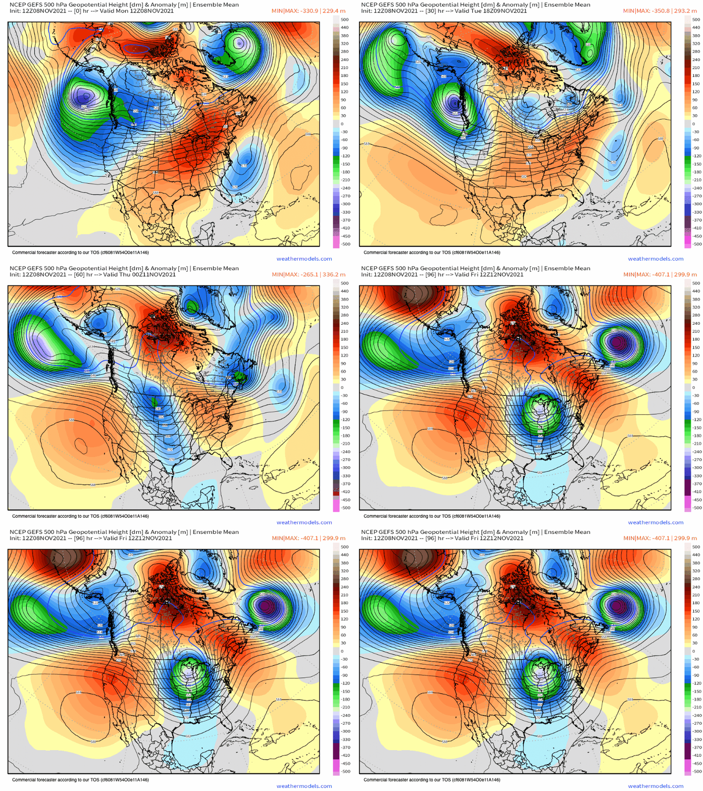
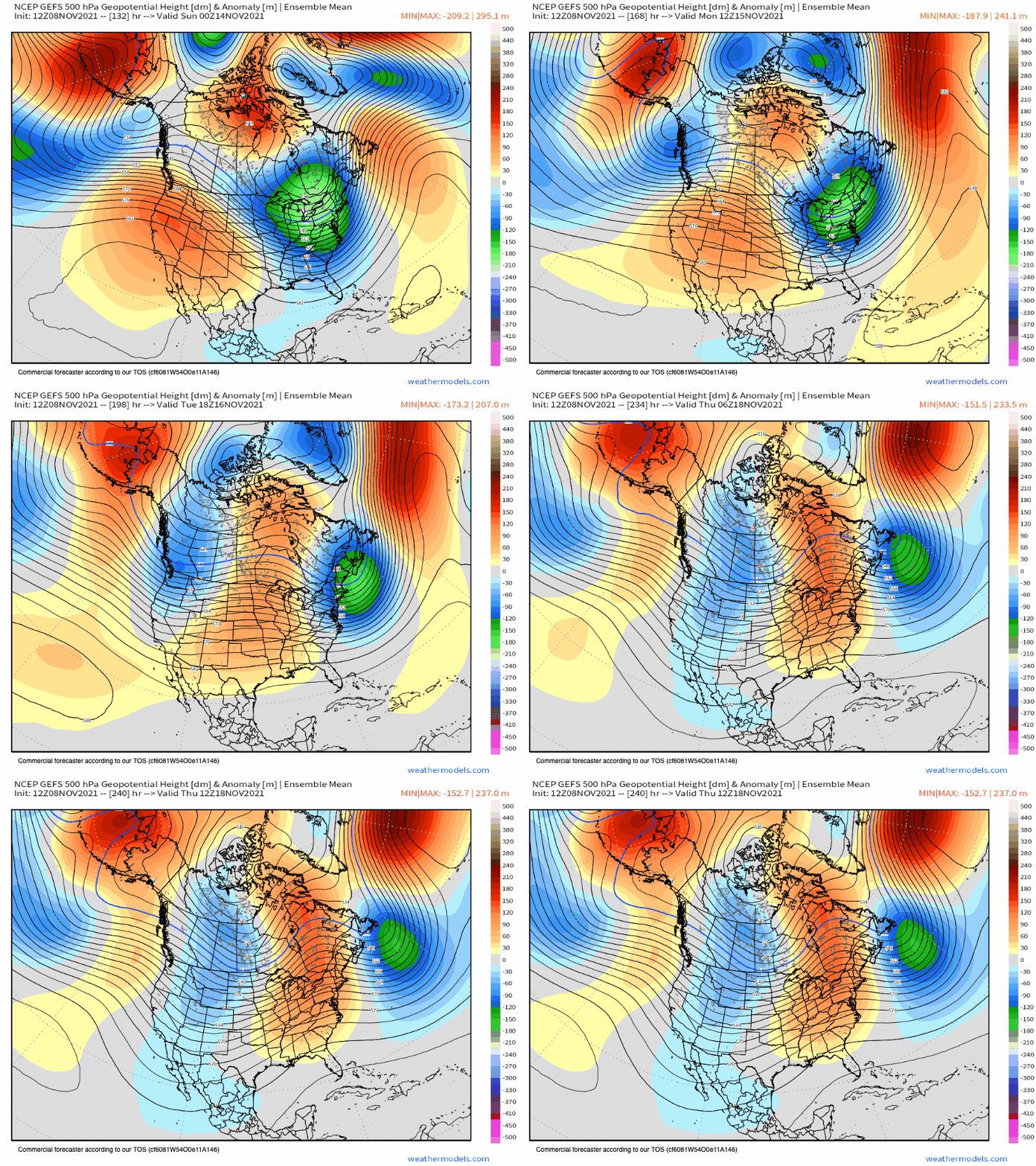
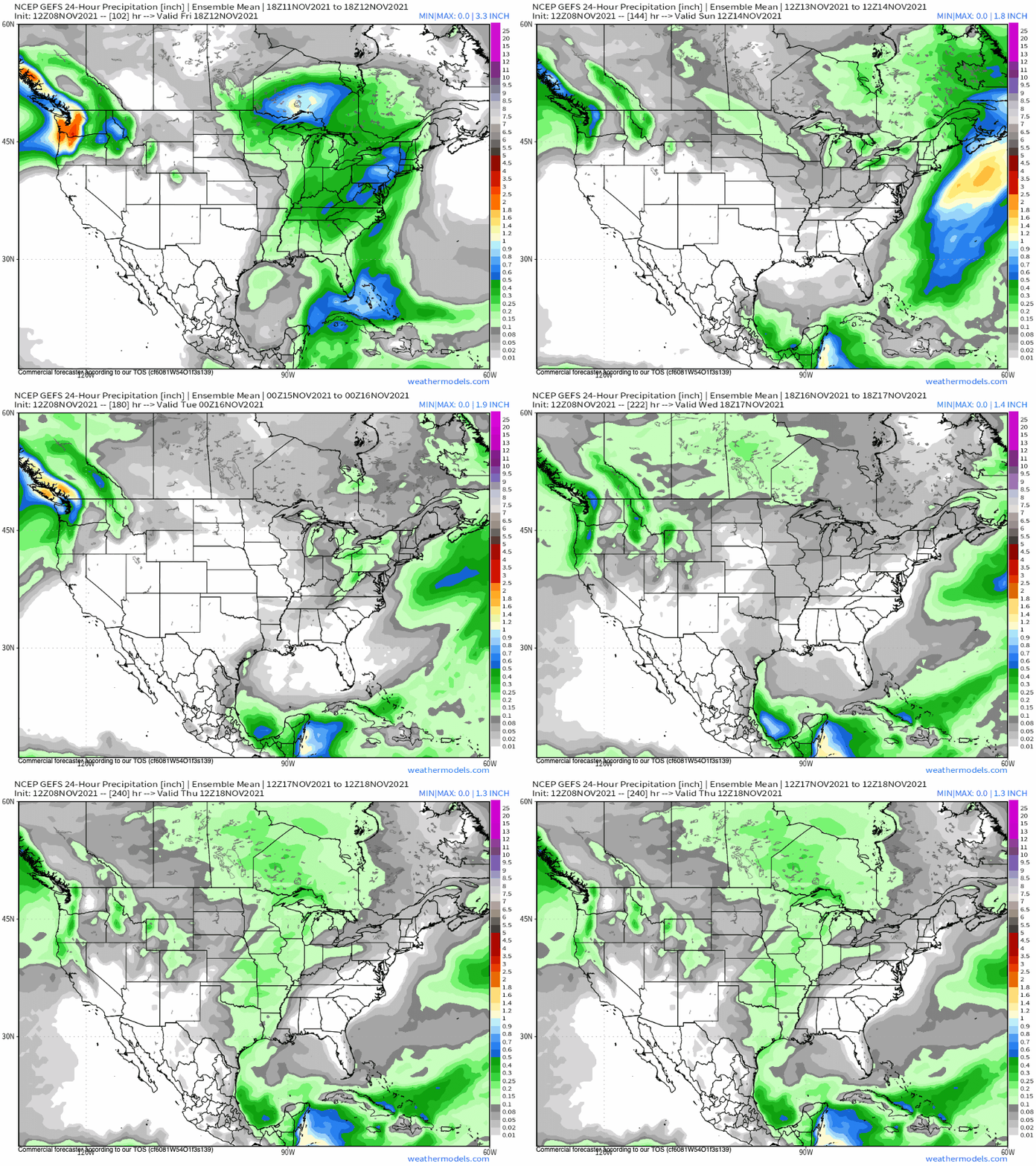
Here is the GEFS showing the incoming storm system and then the November Monster Ridge of High Pressure behind it. That ridge will bring a return to Spring in Fall weather in the high country through next weekend.
Satellite Images
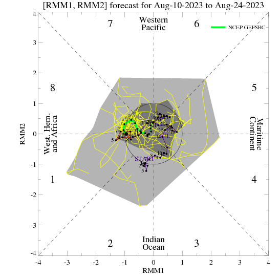
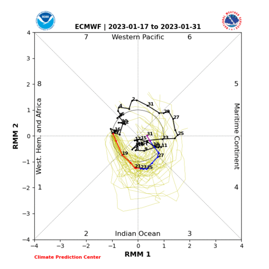
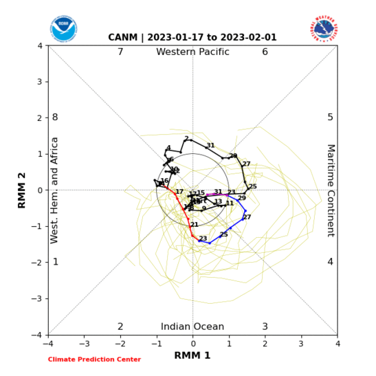
The MOJO Outlook
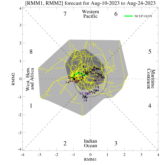
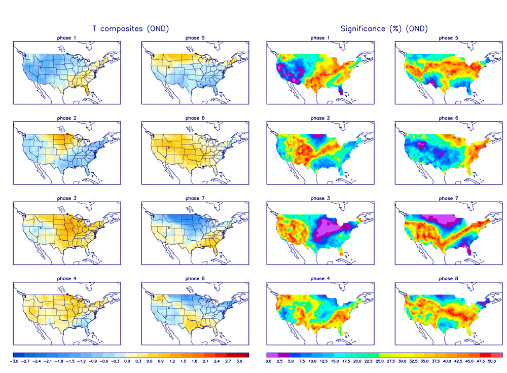
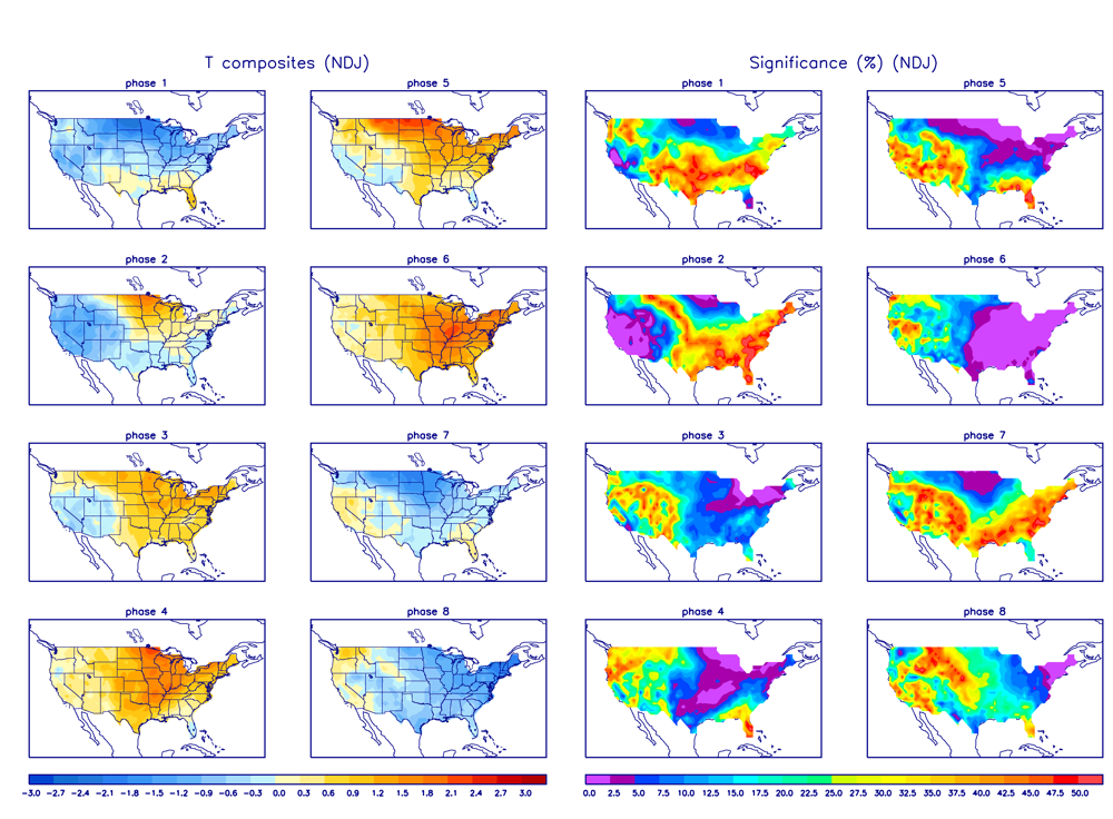
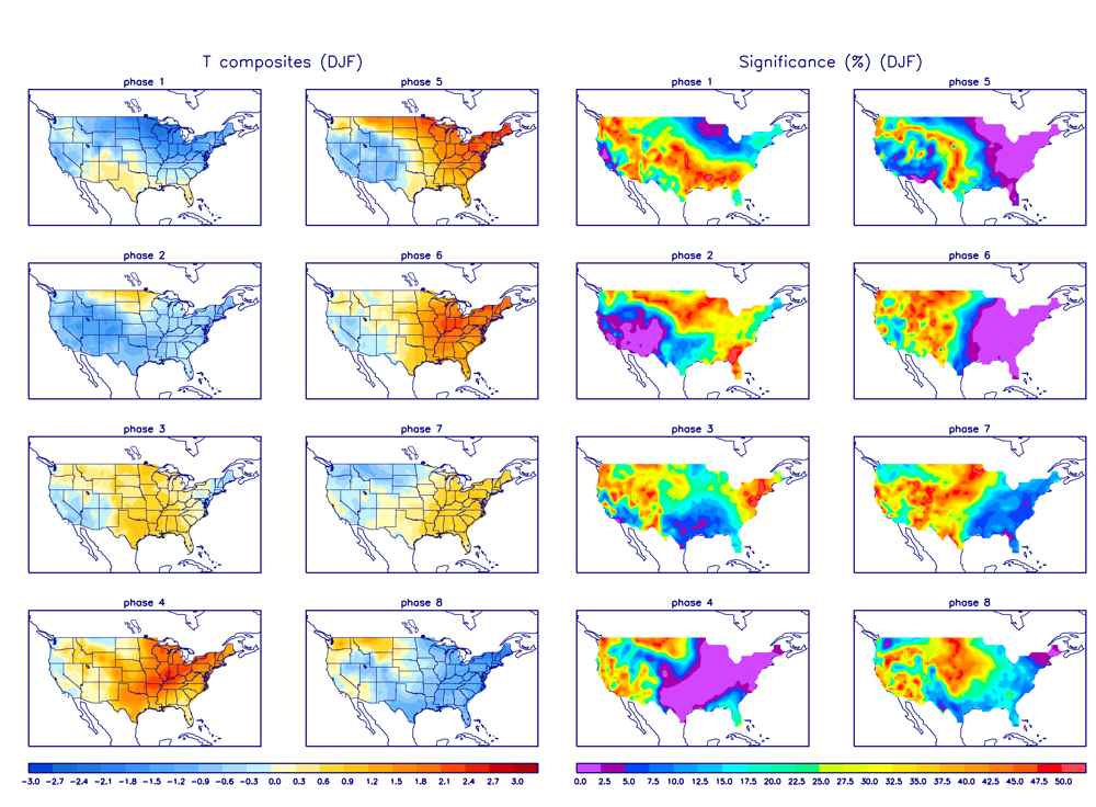
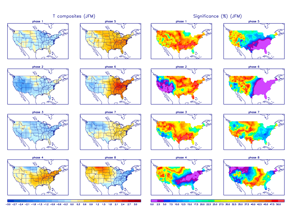
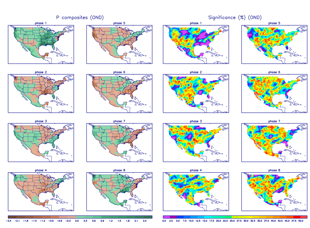
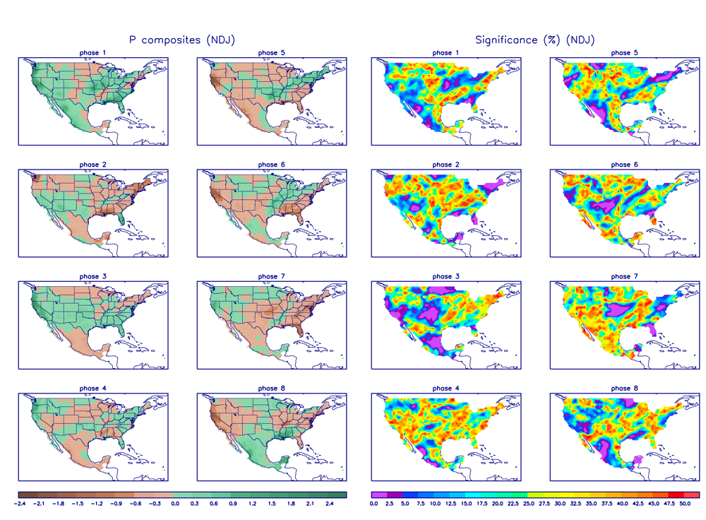
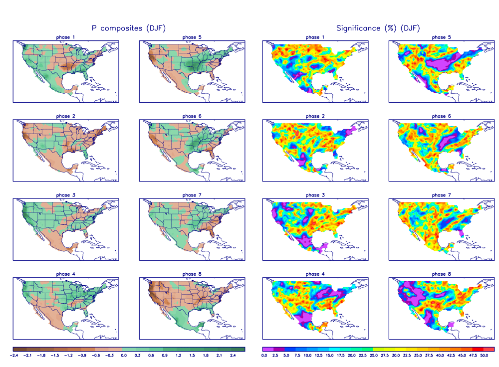
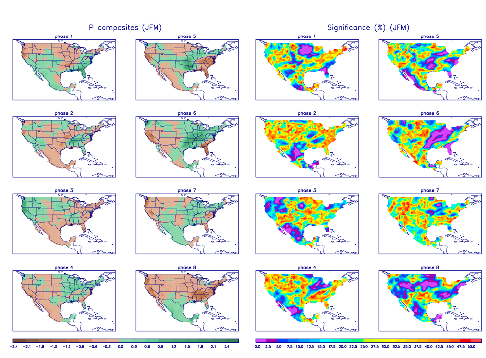
MJO Phase and Temperatures
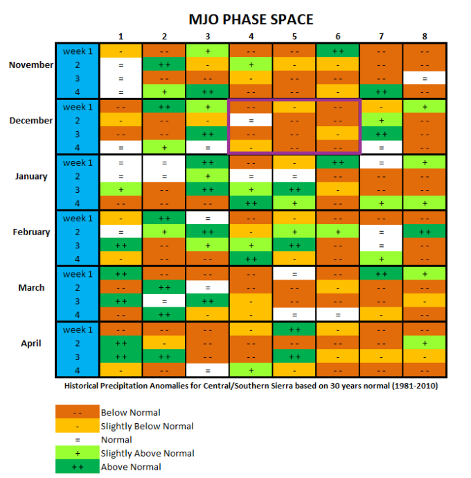
MJO Phase and Precipitation
Mammoth Mountain and Eastern Sierra Weather Posts

Mammoth Mountain Recreational Weather & Travel Forecast
Mammoth Mountain Recreational Weather & Travel Forecast
Mammoth Mountain Recreational Weather & Travel Forecast
Mammoth Mountain Recreational Weather & Travel Forecast
Mammoth Mountain Recreational Weather & Travel Forecast
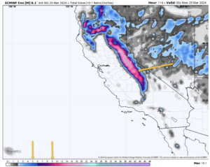
Mammoth Mountain Recreational Weather & Travel Forecast
Mammoth Mountain Photos from Snowman & Friends – 3-10 thru 3-19, 2024
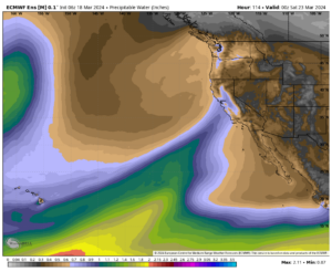
Mammoth Mountain Recreational Weather & Travel Forecast
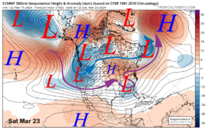
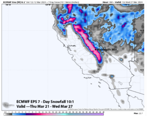
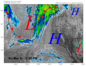
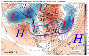
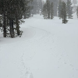
Mammoth Snowman Saturday Morning Storm Update
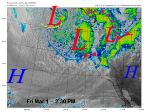
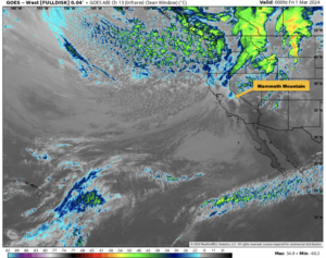
Mammoth Mountain Recreational Weather and Travel Forecast
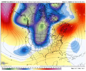
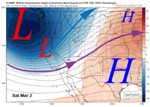
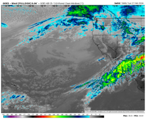
Mammoth Mountain Recreational Weather & Travel Update
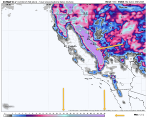
Mammoth Mountain Recreational Weather & Travel Update
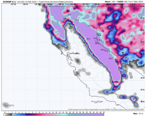
Mammoth Mountain Recreational & Travel Weather Update
Who Are We?
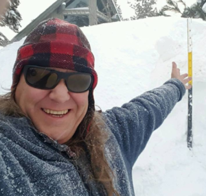 Steve Taylor – Mammoth Snowman – Over the last 30+ years, Snowman has spent countless hours studying and learning about Mammoth Mountain Weather and Snow Conditions first hand. He has been skiing around the hill with marked ski poles since March of 1991 so he can measure the fresh snowfall amounts out on the hill.
Snowman started blogging this information back in 1990 on the old Mammoth BBS system, then the RSN Forums and then on to MammothSnowman.com in 2004 with Video & Photo Blog report. (No YouTube back then). Facebook got added to the fold back in 2008 and then the Facebook Group in 2016.
Reports, videos, and photos from the website have been featured on both local TV Stations here in Mammoth, along with AP, Fox, ABC, CBS, and NBC News.
 Ted Schlaepfer – Mammoth WeatherGuy – The Powder Forecast – Posted Tuesday and Fridays at 5 PM November into Mid May. These forecasts are now responsible for many people getting multiple powder days on Mammoth Mountain over the years.
Ted’s Bio: Ted has been a full-time Meteorologist (CCM) for the past 25+ years. He has always been fascinated with the weather,” skiing was just a natural extension of my love for snow and rain. I started skiing at age 5, first discovered Mammoth in 1979 as a youth, and have been a regular visitor since the late ’80s.”.
Here is the link to The WeatherGuys Powder Forecast Page.
Click Here to Learn More About the People Who Make MammothSnowman.com a Reality
