Recreational Weather Report for Mammoth Mountain & the Eastern Sierra
2-27-22 – 4 PM
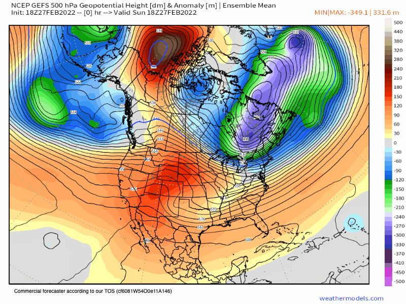
Weather Forecast Overview: A ridge of high pressure will be moving through the area into late Wednesday. Highs will be 10-15+ degrees above average Tuesday into Wednesday.
By Thursday a low will be approaching from the west with increasing winds and snow showers developing.
Then of Friday and lasting out and beyond day 10 there will be a cold inside slider pattern in the area. The pattern will bring below normal temperatures with snow showers at times.
At this point, it’s looking doubtful that Mammoth will see some big massive March Miracle.
With that said there still could be some snowfall coming up in March, it’s not looking like a total shutout yet.
If you’re going to be out on the hill the next few days expect clear skies with highs in the upper 40s to low 50s on Monday and on Tuesday. Winds will be 5-10+ MPH out of the NE on Monday and 5 -10+ MPH out of the SW on Tuesday.
Lower elevations:
Mammoth Lakes and Crowley Lake will be in the upper 40s to mid-50s the next several days. Down in Bishop, a high of 72 is expected, with calm winds.
Snowfall Outlook:
The upcoming pattern will offer some snow showers starting late next Thursday and out today 10. QPF amounts on the models range from .4 to .75. That would add up to 2-6 inches of snowfall with the Thursday system having some higher snow levels to start. (7000-8000 Feet).
Hopefully, the system coming in from the west can tap into some more moisture to help freshen up the snowpack back to full-on winter conditions.
We will ski ya later, Snowman
PS: If you’re looking for Ski or Snowboard Rentals you can save 20% off with the Mammoth Snowman Black tie ski rental discount. Black Tie will come to you or you can rent skis and boards right from their location on Old Mammoth Road. Here is the link to get the Snowman Discount.