Hello Good morning this is the Snowman with your Mammoth Mountain and Eastern Sierra Weather forecast for Tuesday, June 21st, 2022 – Happy 1st Day of Summer.
The WindowCast for today shows clear blue skies in all areas of the Eastern Sierra. Don’t be surprised to see some clouds start to build up later today over the high country.
Highs today into Wednesday will be in the mid-60s at the 8900-foot level at Main Lodge and up in the Mammoth Lakes Basin. Lows will be in the mid-40s. Winds will be E to NE at 5-10 MPH with gusts in the 20 MPH range.

Mammoth Lakes will be in the low 70s with Crowley in the upper 70s and Bishop into the upper 80s to low 90s by the mid-afternoon hours.
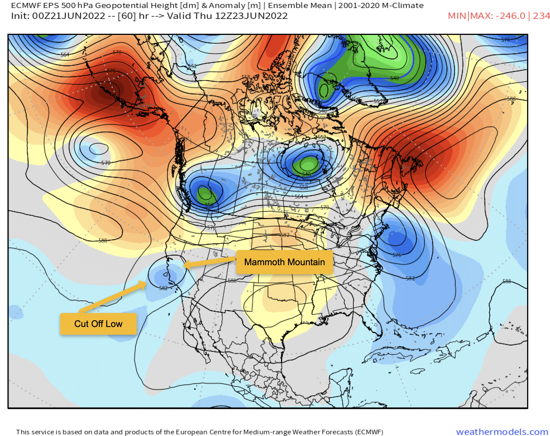
For Wednesday and Thursday, there is a small cut-off low just off the social coast they will move inland.
That cut-off low will combine with a monsoonal flow and give the area the first chance of some summertime afternoon and evening Thunders Storms. The chance for T Storm will last into Saturday.
Daytime highs Thursday into Saturday will come down about 5-7 degrees. In areas that do get a wet thunderstorm temperatures will drop much more for a time.
If you’re planning a hike, fishing, or mountain biking I would get out early over the next few days. Backcountry travelers also should be aware of what’s coming up. Be prepared during the afternoon hours to seek shelter from the possible lightning and moderate to heavy rainfall under any big storms that happen to form.
The jury remains out on what day will turn out to be the most productive for T Storms. As of now, Thursday looks to be that day unless there is leftover cloud cover from Wednesday.
The other factor is cut-off lows follow their own path and the models can struggle to get that track right.
If you’re a local or visiting the area you can expect muggy conditions in the area through Saturday with some possible drying out and warming up temperatures starting on Sunday and into next week.
Snowman
Below is an image showing the Cut Off Low and where Mammoth Mountain lies on the map.
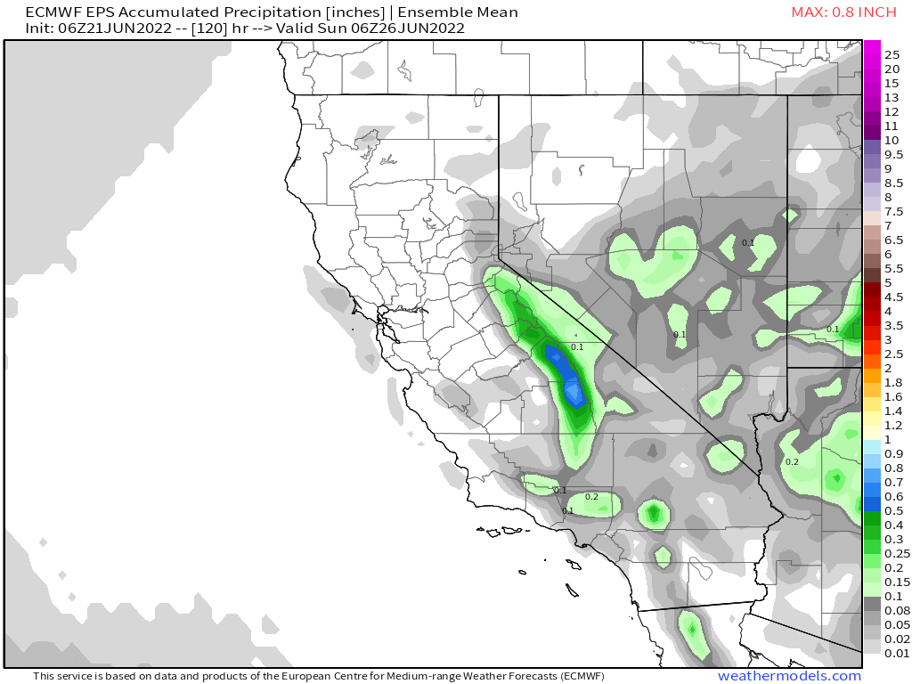
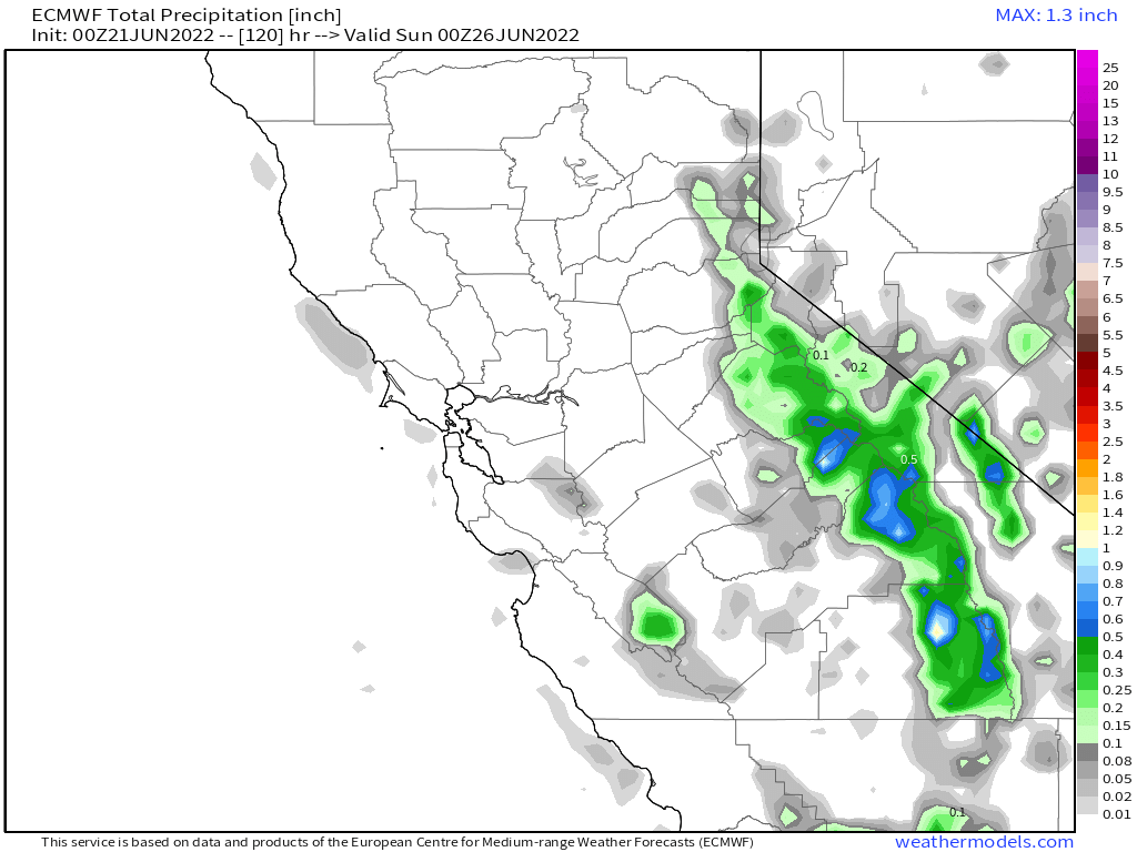
QPF into Saturday is one-half to one inch. That would not be area-wide, just under any large thunderstorms that happen to form and let loose.
Here is a chart showing the build-ups that can produce thunderstorms and lighting. Looks like a lot of strikes can be expected, our prayers our with Cal Fire as there will surely be some small fire starts from all this activity.