Mammoth Weather & Eastern Sierra Recreational Forecast.
August 2nd, 2022 @ 8:46 AM – Good morning, it’s a cool muggy morning up here in the Eastern Sierra.
With the deep monsoonal flow, it feels more like beach weather than the dry and warm days of an East Side summer.
Over the last few days, there has been some area-wide rain and thunderstorms. Rainfall amounts from the gauges I have seen have ranged from a quarter to half an inch.
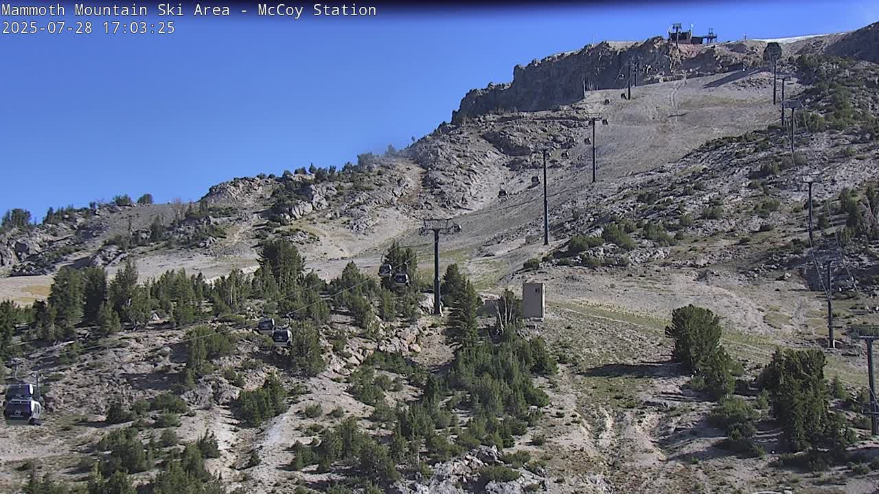
The road up to the top of Mammoth Mountain got washed out on Sunday to you know there have been a few gully washers out there.
For the most part, the rain that was picked up came on Sunday as Monday was way over-developed for build-up development.
The weather models don’t over development very well and over-forecast QPF during monsoonal flows.
As of this morning, there are pt cloudy skies from Bishop up to Mammoth Lakes and into the back country.
The clear skies are a good indicator that the area has a better chance for some good thunder storm development today with a 40% to 60% chance of T Storms depending on your location.
If your going to be out for an adventure today and through the rest of the week get out early to avoid any big storms that due form. Just remember when you hear Thunder to go indoors, to your car or RV or take cover if on a trail.
Air Quality has been great all week with any smoke from the Oak Fire being blown away from the Eastern Sierra. If you’re concerned about Air Quality you want to check in with this page before you come to the area. Always be prepared in California and carry the KN 95 masks in case you due encounter wildfire smoke.
Fire Restrictions are in place on the Inyo National Forest. No Campfires or BBQs outside of the Hosted Campground. You can still use a propane stove but need a permit in dispersed camping areas.
Here are the links to the specific highs, lows, and wind speeds for many of the major recreation points in the Eastern Sierra: Mammoth Mountain Main Lodge, Top of Mammoth Mountain, Mammoth Lakes, June Lake, Crowley Lake, Toms Place, Rock Creek Lake, Bishop & Mill Pond, South Lake.
Current Satellite View
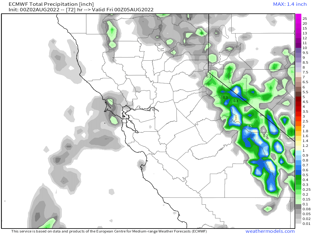
Here is the QPF forecast over the next 72 hours. There looks to be some bigger storms possible with one half to one inch of water shown in the EU models below.
This chart has Mammoth Lakes QPF at .50 or half an inch of rain with Bishop at .20 . So let’s hope those amounts pan out as the area could use every drop of rain we can get right now.
If you’re in the Eastern Sierra this week, be on the look out for any new fire starts and smoke, if you see anything report it to 911 immediately.

Weekend Outlook
If you’re coming up for the weekend the monsoonal flow will be a bit reduced but the chance of thunderstorms will still exist, just less numerous.
Expect a 20-40% chance of afternoon and evening thunderstorms at this point in time with highs at the resort level at 8900 feet in the mid-60s with nighttime lows in the low 50s. Expect the moist muggy conditions to continue as well.

10 Day Discussion and Outlook Images
Lorem ipsum dolor sit amet, consectetur adipiscing elit. Ut elit tellus, luctus nec ullamcorper mattis, pulvinar dapibus leo.
Lorem ipsum dolor sit amet, consectetur adipiscing elit. Ut elit tellus, luctus nec ullamcorper mattis, pulvinar dapibus leo.

Lorem ipsum dolor sit amet, consectetur adipiscing elit. Ut elit tellus, luctus nec ullamcorper mattis, pulvinar dapibus leo.

Lorem ipsum dolor sit amet, consectetur adipiscing elit. Ut elit tellus, luctus nec ullamcorper mattis, pulvinar dapibus leo.


