


Monday, August 29th, 2022 – If you’re a weather watcher this Thursday will be the start of the Meteorological Fall.
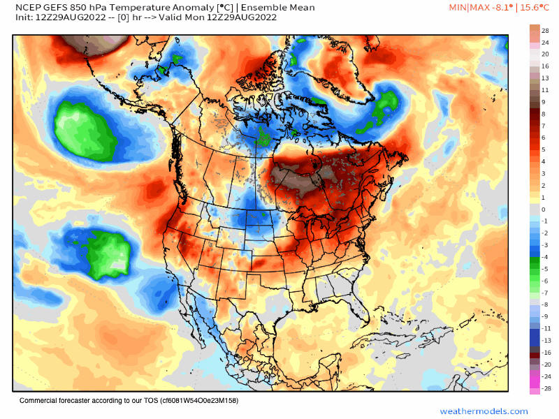
However, it will feel more like July outside with the largest dome of high pressure that we have seen all Summer.
Expect the warm days to last into next Tuesday / Wednesday so all the way out to September 8th or so.
Beyond that, some troughing sets up off the coast of California with GEFS a bit stronger with that feature than the EPS ensemble.
A pattern like that would bring the area to near-average temperatures for this time of year. That low could also bring up a weaker monsoonal flow to the East Side once again.
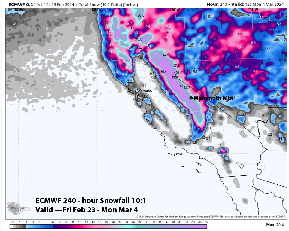
Time to be watching the pattern after mid-September to see if there are any slight dustings of snow that will be possible.
The EPS ensemble keeps showing that slight dusting right around the week of the 21st of September.
Snowman
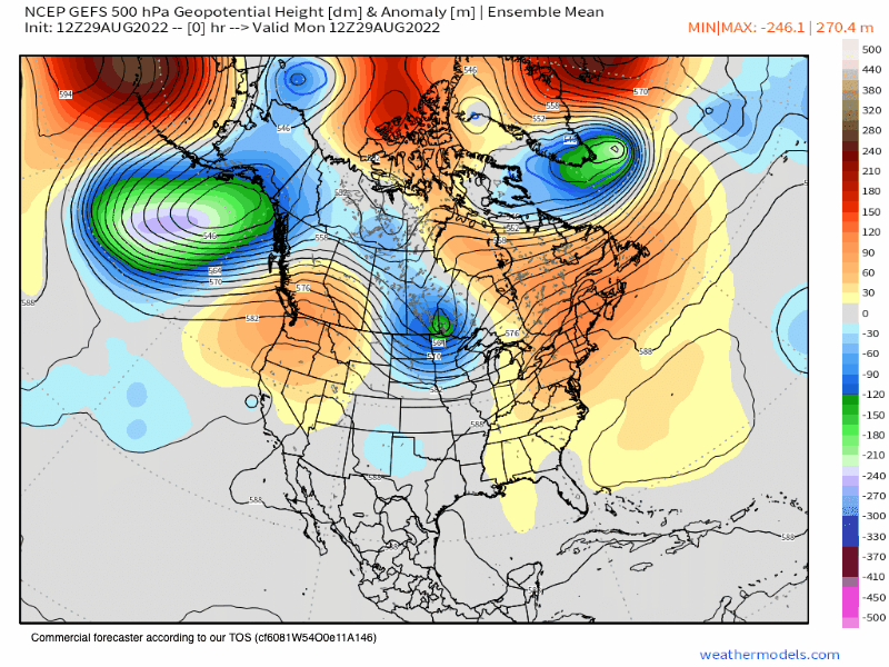
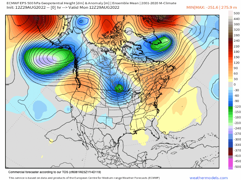
Below are the most current EPS and then the GEFS 500 Height Anomaly Ensemble Mean Runs
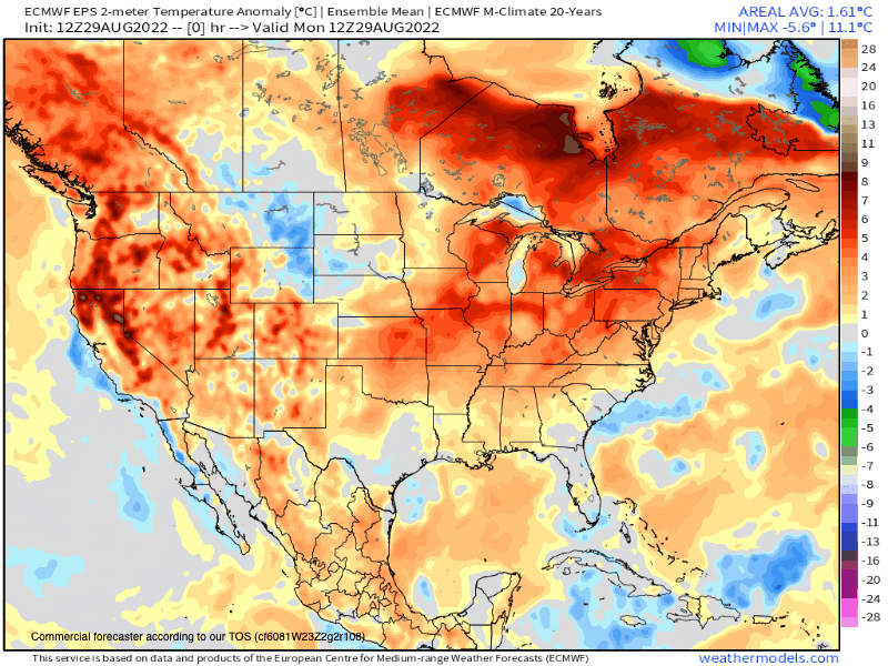
EPS & GEFS 10-Day Temperature Anomaly Ensemble Mean – Let’s hope the GEFS wins out as the EPS has Extreme heat to the West of the Sierra.
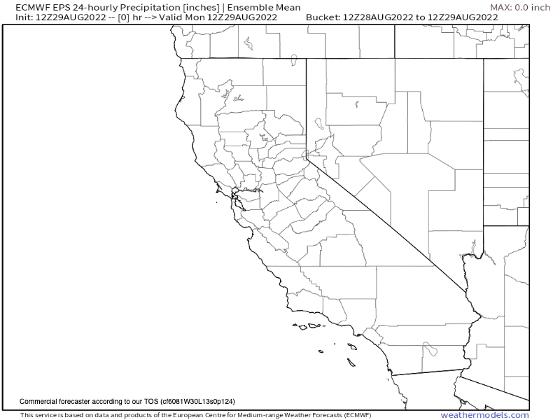
EPS 10 Day 24 Hour Precipitation Ensemble Mean
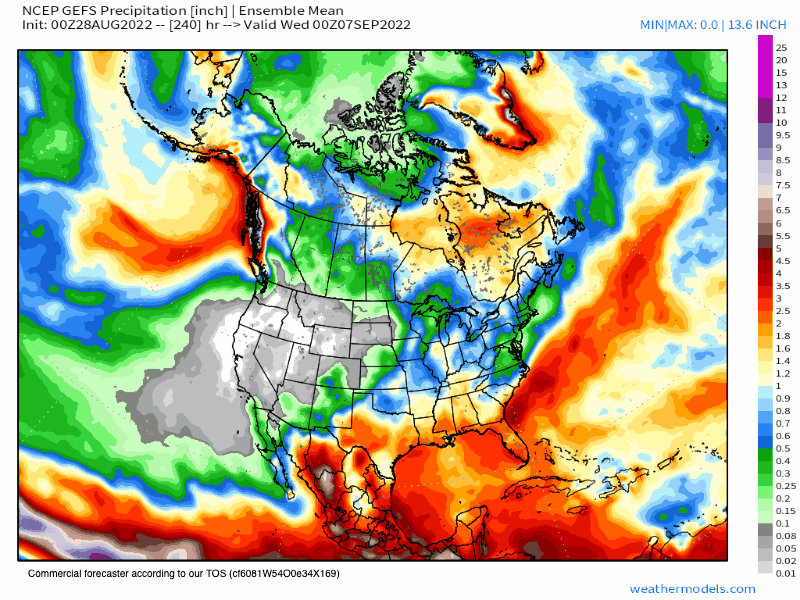
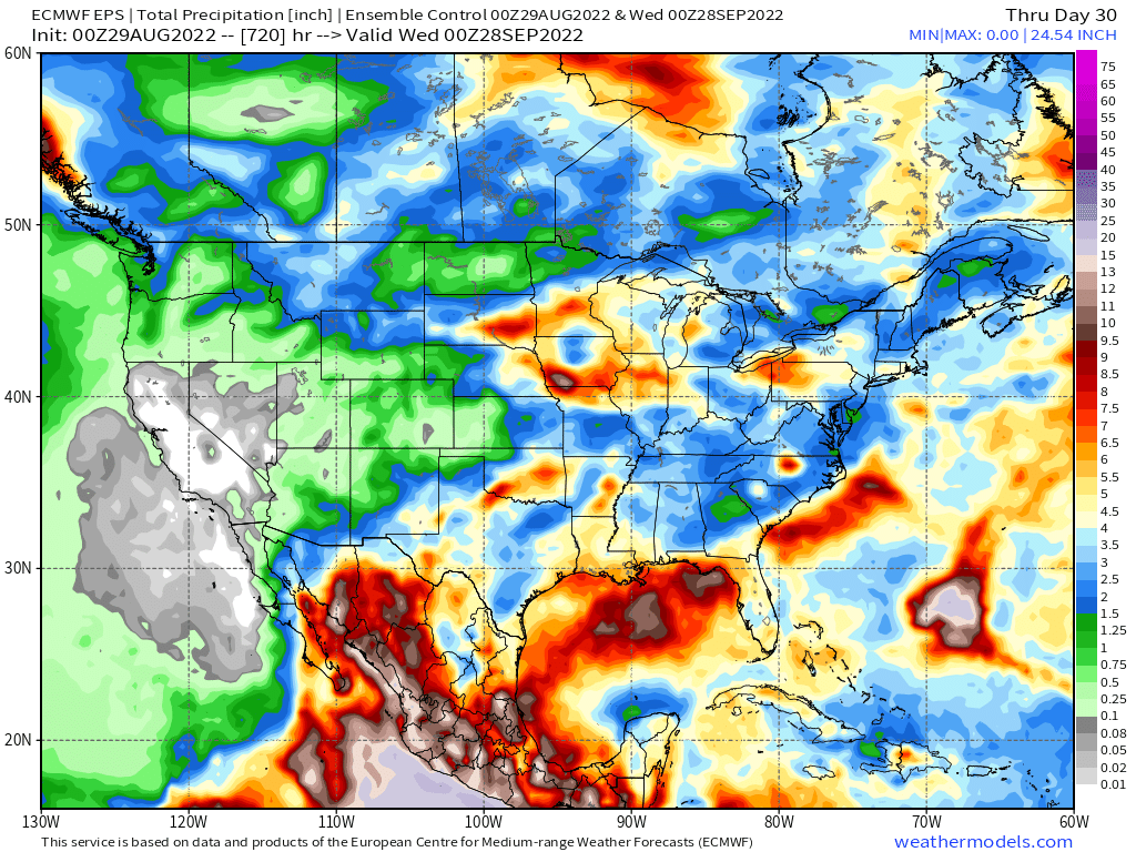
GEFS 45 Day Precipitation Chart – GEFS has up to an inch of rain over the Sierra with a dusting of snow late in the month. The EPS is dry during the same period so which ensemble wins is anyone’s guess.
Again these are outlooks not forecast. This is good data to use to see what the trends in the pattern are.
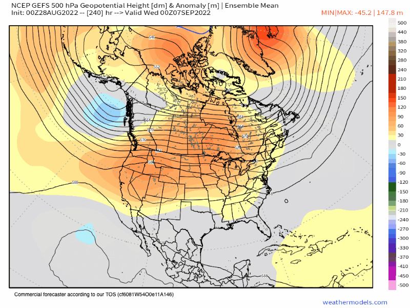
GEFS 45 Day 500 hPa Height & Anomaly
8-29 Dropped the unreliable CFSv2 that changes beyond reason every single run. Lol see ya…
8-10-2022
**The new Euro data comes out each month around the 5th of the month. The next update on this data will be around September 7th here at the Mammoth Snowman website.


Who Are We?
 Steve Taylor – Mammoth Snowman – Over the last 30+ years, Snowman has spent countless hours studying and learning about Mammoth Mountain Weather and Snow Conditions first hand. He has been skiing around the hill with marked ski poles since March of 1991 so he can measure the fresh snowfall amounts out on the hill.
Snowman started blogging this information back in 1990 on the old Mammoth BBS system, then the RSN Forums and then on to MammothSnowman.com in 2004 with Video & Photo Blog report. (No YouTube back then). Facebook got added to the fold back in 2008 and then the Facebook Group in 2016.
Reports, videos, and photos from the website have been featured on both local TV Stations here in Mammoth, along with AP, Fox, ABC, CBS, and NBC News.
 Ted Schlaepfer – Mammoth WeatherGuy – The Powder Forecast – Posted Tuesday and Fridays at 5 PM November into Mid May. These forecasts are now responsible for many people getting multiple powder days on Mammoth Mountain over the years.
Ted’s Bio: Ted has been a full-time Meteorologist (CCM) for the past 25+ years. He has always been fascinated with the weather,” skiing was just a natural extension of my love for snow and rain. I started skiing at age 5, first discovered Mammoth in 1979 as a youth, and have been a regular visitor since the late ’80s.”.
Here is the link to The WeatherGuys Powder Forecast Page.
Click Here to Learn More About the People Who Make MammothSnowman.com a Reality


