

Mammoth Mountain Weather Forecast & Discussion
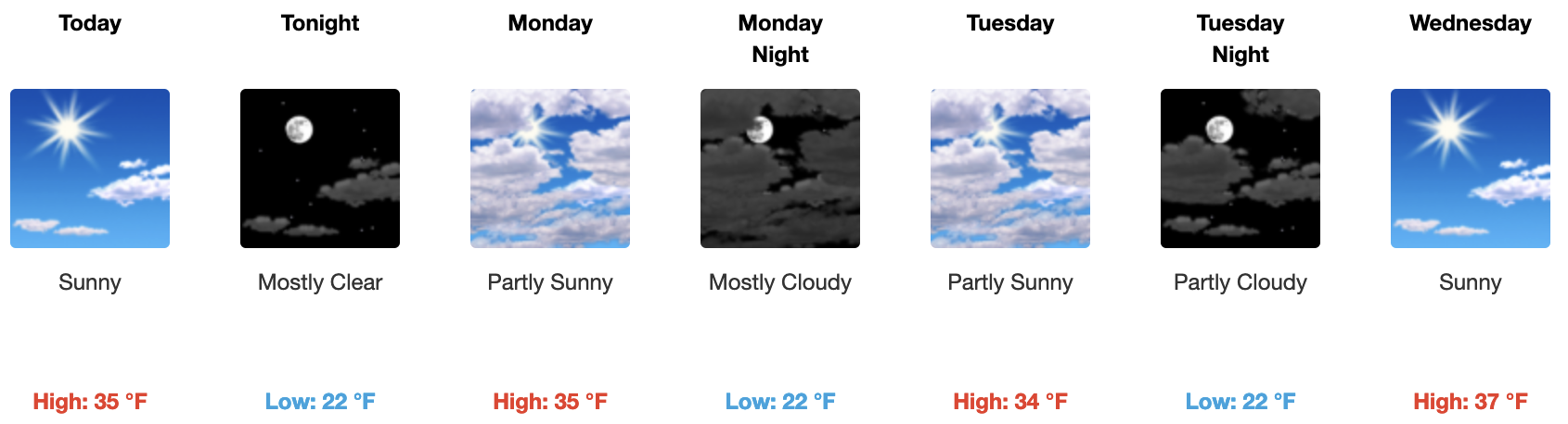
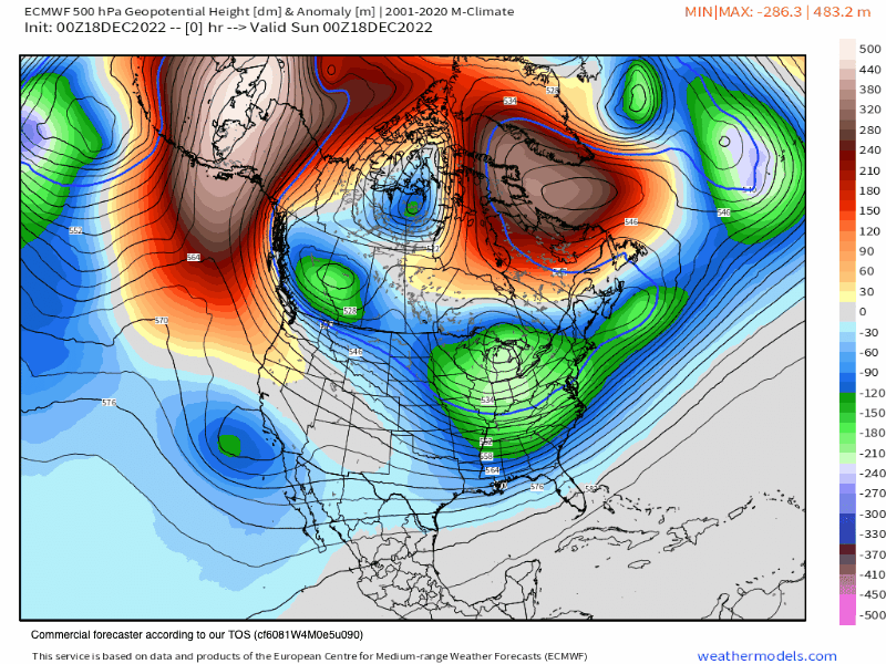
December, 18th 2022 @ 8:18 AM – Look for clear skies today and then pt cloudy skies on Monday and Tuesday as a weak weather system moves to our north. Temperatures by mid-day will be in the low to mid-30s with Southwest winds @ 10 to 15 mph, with gusts as high as 25-35 mph.
By Wednesday the area moves into a brief NE flow and then a ridge of high pressure starts to move in Thursday with the ridge right over the area on Christmas Day and just beyond.
The ridge will result in temperatures around 3-5 degrees above average in the area. Don’t worry it will not be warm enough to turn the snow into wet snow. We are also in the heart of winter now and the shadows are long and days are short so the snow stays in winter pack mode.
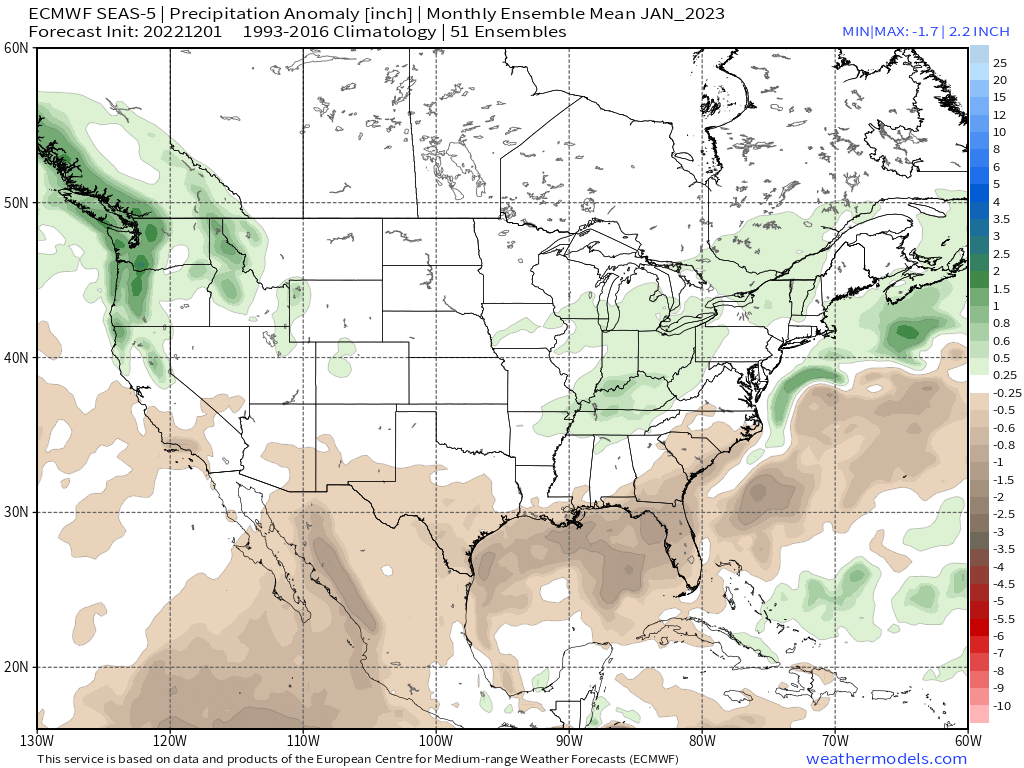
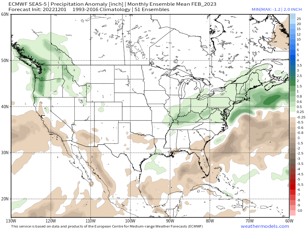
For the Big Holiday Week after Christmas the forecast is officially dry, however, both the ensemble models GEFS and EPS are wanting to bring in SW winds and possible light snowfall into the area around the 27th to 28th. The GFS just this morning on the 6z run is now picking up on this as well.
So something for us to watch the next few days. I will post all new data down the page later this moring on what I am now seeing possible in next weeks outlook period.
Weather forecasts can change quickly so don’t be caught off guard always have you’re winter travel kit with you no matter what your so-called weather app says.
Snowman
PS: To get Ted’s Powder Outlook for Mammoth Mountain use this link.


Who Are We?
 Steve Taylor – Mammoth Snowman – Over the last 30+ years, Snowman has spent countless hours studying and learning about Mammoth Mountain Weather and Snow Conditions first hand. He has been skiing around the hill with marked ski poles since March of 1991 so he can measure the fresh snowfall amounts out on the hill.
Snowman started blogging this information back in 1990 on the old Mammoth BBS system, then the RSN Forums and then on to MammothSnowman.com in 2004 with Video & Photo Blog report. (No YouTube back then). Facebook got added to the fold back in 2008 and then the Facebook Group in 2016.
Reports, videos, and photos from the website have been featured on both local TV Stations here in Mammoth, along with AP, Fox, ABC, CBS, and NBC News.
 Ted Schlaepfer – Mammoth WeatherGuy – The Powder Forecast – Posted Tuesday and Fridays at 5 PM November into Mid May. These forecasts are now responsible for many people getting multiple powder days on Mammoth Mountain over the years.
Ted’s Bio: Ted has been a full-time Meteorologist (CCM) for the past 25+ years. He has always been fascinated with the weather,” skiing was just a natural extension of my love for snow and rain. I started skiing at age 5, first discovered Mammoth in 1979 as a youth, and have been a regular visitor since the late ’80s.”.
Here is the link to The WeatherGuys Powder Forecast Page.
Click Here to Learn More About the People Who Make MammothSnowman.com a Reality


