

Mammoth Mountain Weather Forecast & Discussion
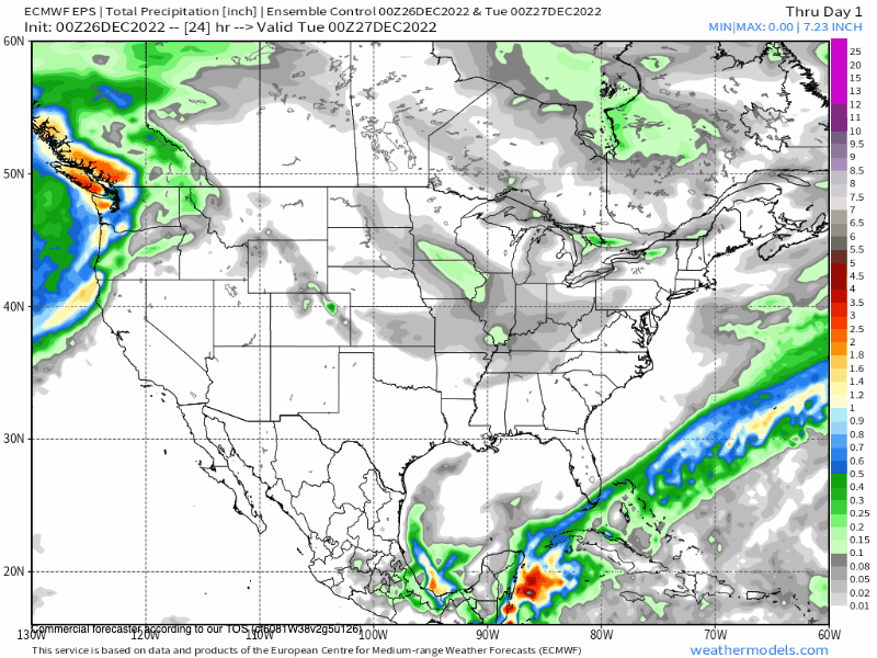
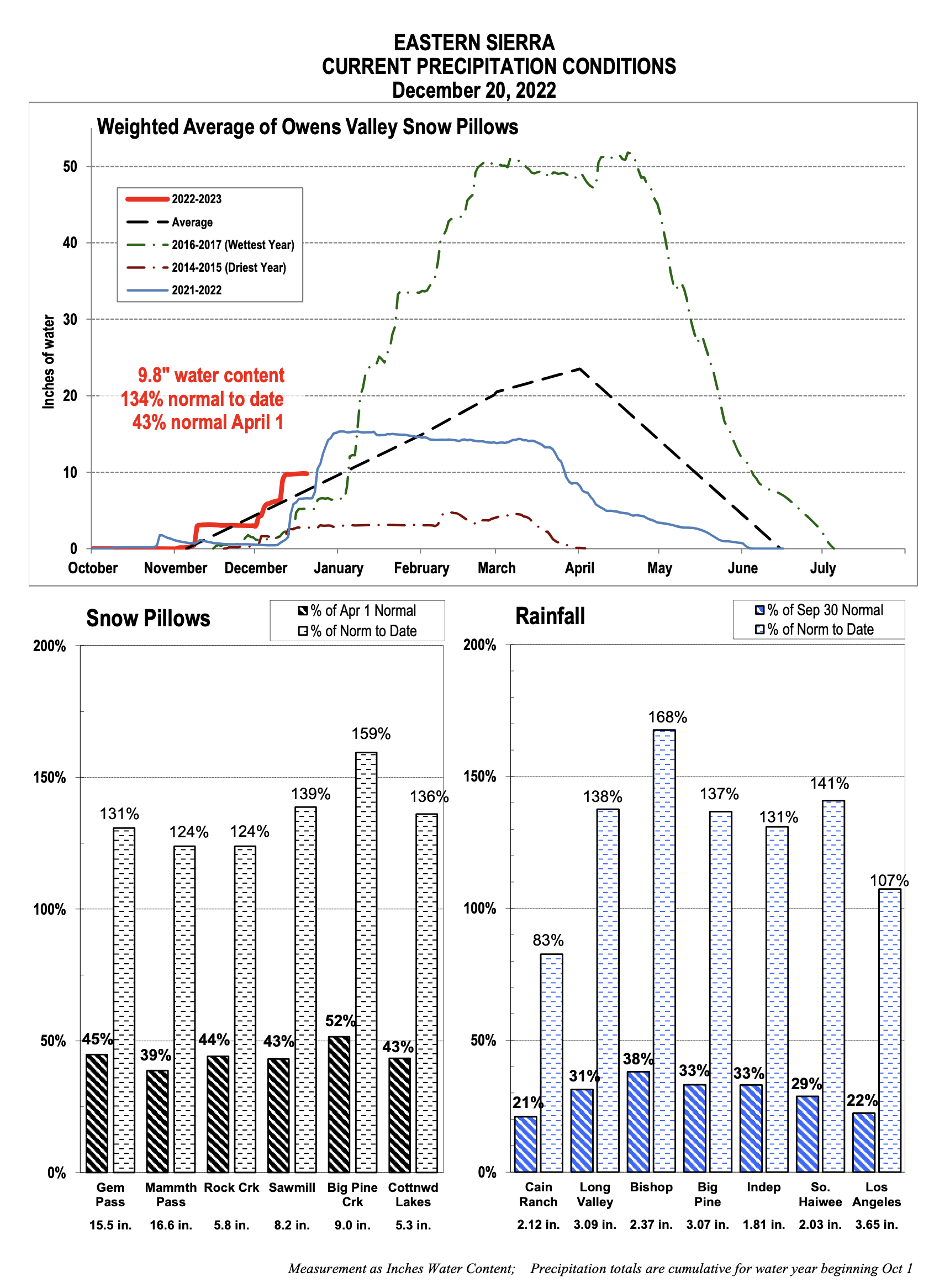
December, 27th 2022 @ 11:34 AM – Mammoth Mountain is currently getting hammered with heavy wet base snow across the entire hill at this time. At the 9000-foot level storm totals are at 14 inches with over 2.16 inches of water content in the newly fallen snow.
Snow levels have not gone above 8500 feet so Yahoo the rain big rainfall event is a bust! Just talked to Jon G who drove up from Bishop and he reported it started snowing at the Mammoth Visitors Center at 7900 feet.
If you’re out on the hill today you can expect moderate to heavy snowfall above the 8500-foot level with snow mixed with rain below that level.
Areas above the 9000-foot level could see 15-30+ inches of new heavy base snow by Wednesday morning. It all depends on the snow levels and how they actually pan out during the next 24 hours.
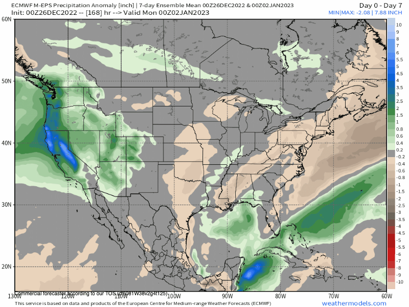
Looking at the moisture feed, unlike the last system this one has been favoring Mammoth Mountain with a direct hit and perfect SW flow for great orographic lift. That always means el dump out on the hill.
For Wednesday there will be a break in the action and you can expect pt sunny skies over the entire Eastern Sierra and Mammoth Mountain. I would be ready to deal with deep heavy wet snow out on the hill. Go wide or stay on the groomers…
For Thursday and Friday look for snow to be light to moderate at times with an additional 5-10 inches of heavier wet snow during that time frame.
The next large plume of moisture is showing up on the models for this weekend. That system if it comes in as forecast could have excessive snowfall rates and along with the wind, not much will run on Mammoth Mountain.
The fine details are still unclear when that weather system will move out, but it does look like by mid-day on New Year’s Day that low will have passed thru the area.
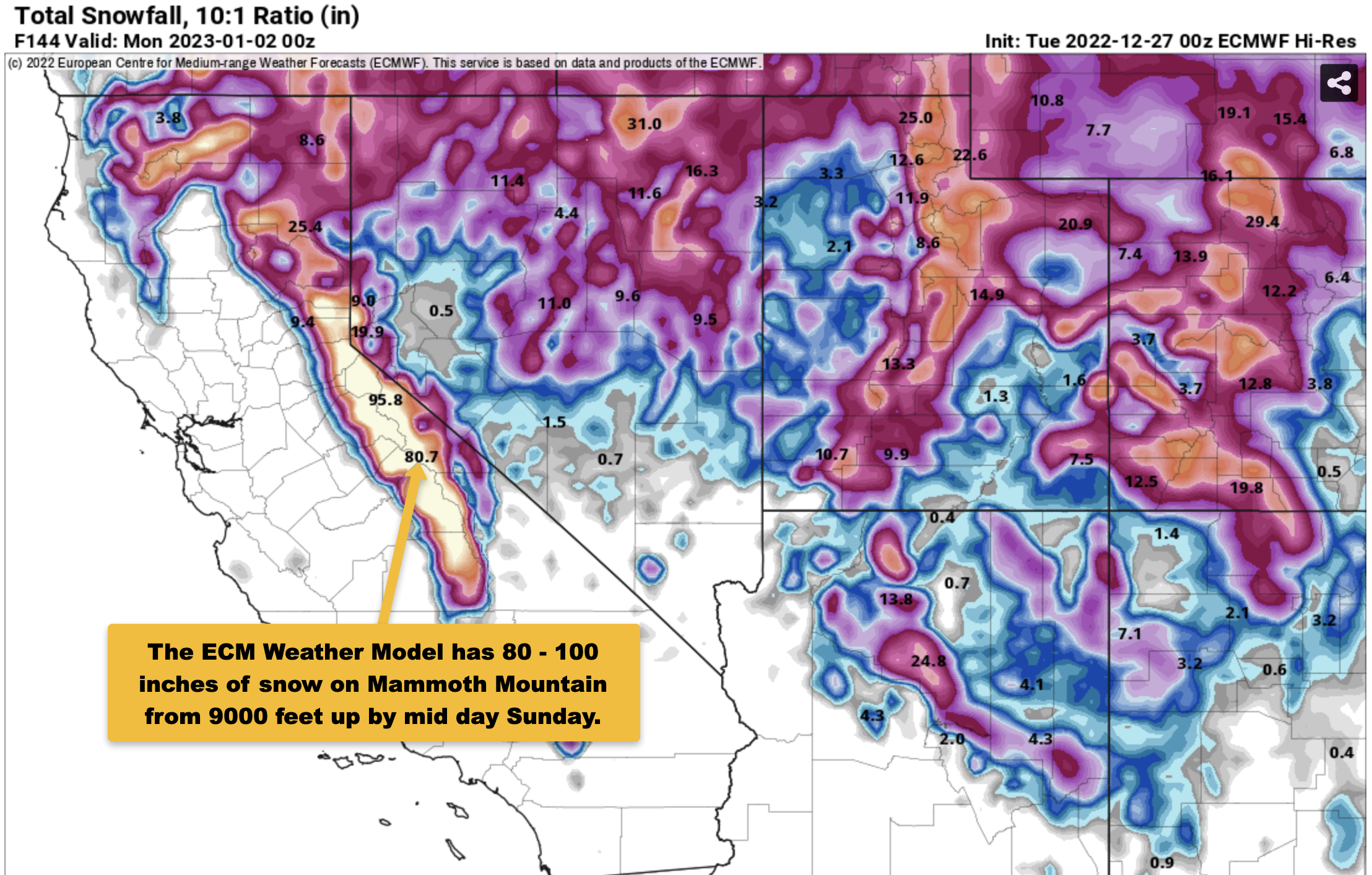
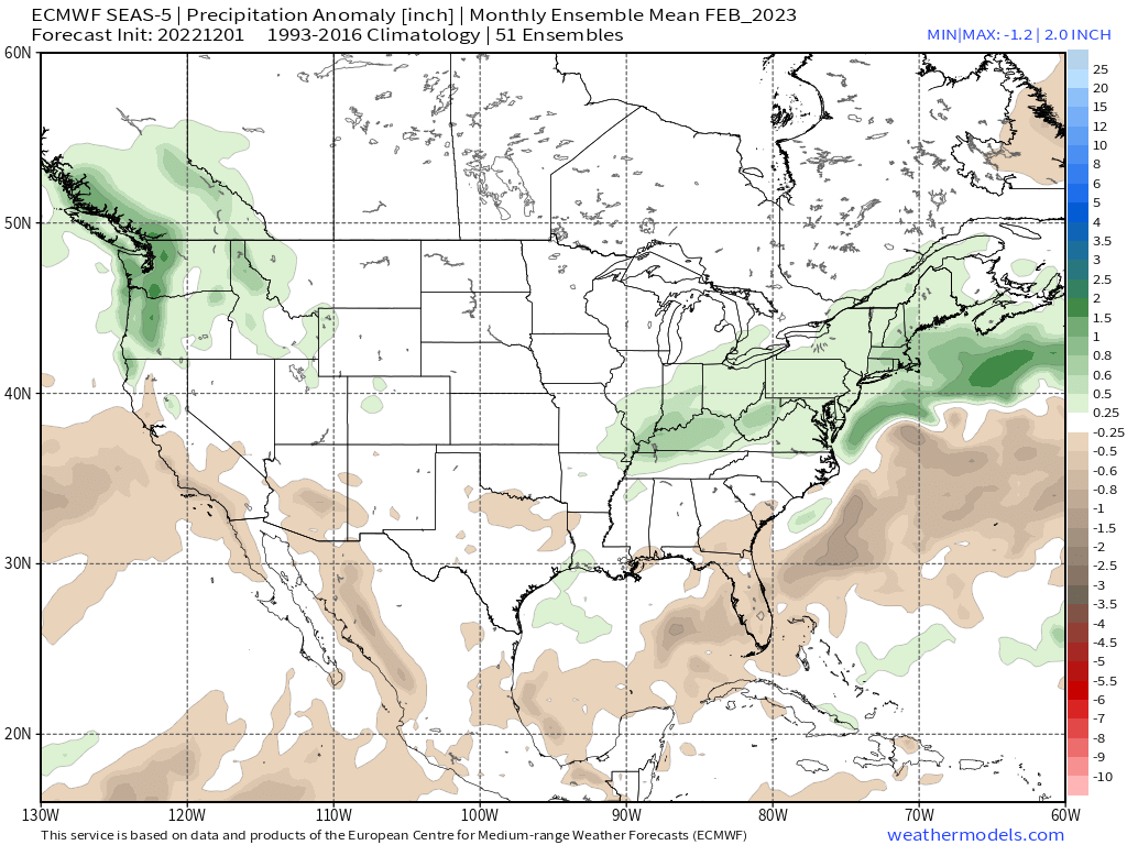
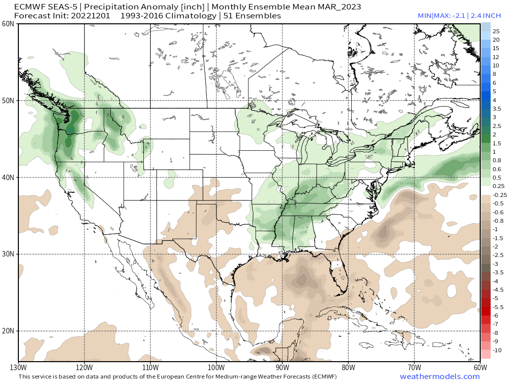
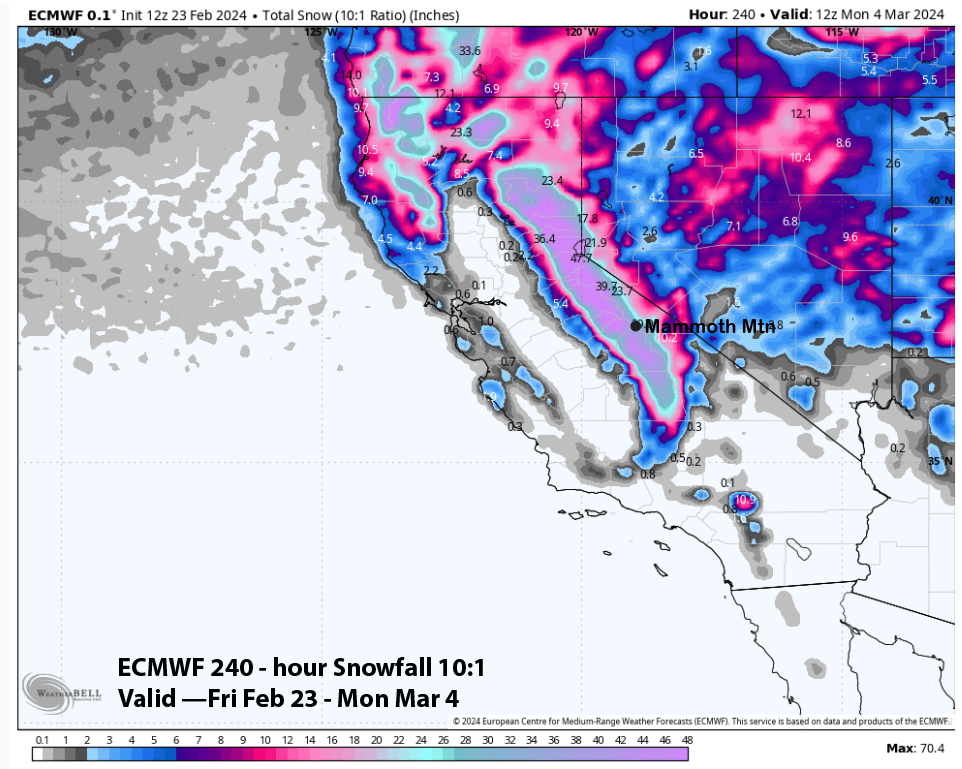
The Long Range Fantasy forecast calls for another possibly large system around Tuesday of next week. The 10-day snowfall forecast from the last ECM run was around 150 inches.
Snowman


Who Are We?
 Steve Taylor – Mammoth Snowman – Over the last 30+ years, Snowman has spent countless hours studying and learning about Mammoth Mountain Weather and Snow Conditions first hand. He has been skiing around the hill with marked ski poles since March of 1991 so he can measure the fresh snowfall amounts out on the hill.
Snowman started blogging this information back in 1990 on the old Mammoth BBS system, then the RSN Forums and then on to MammothSnowman.com in 2004 with Video & Photo Blog report. (No YouTube back then). Facebook got added to the fold back in 2008 and then the Facebook Group in 2016.
Reports, videos, and photos from the website have been featured on both local TV Stations here in Mammoth, along with AP, Fox, ABC, CBS, and NBC News.
 Ted Schlaepfer – Mammoth WeatherGuy – The Powder Forecast – Posted Tuesday and Fridays at 5 PM November into Mid May. These forecasts are now responsible for many people getting multiple powder days on Mammoth Mountain over the years.
Ted’s Bio: Ted has been a full-time Meteorologist (CCM) for the past 25+ years. He has always been fascinated with the weather,” skiing was just a natural extension of my love for snow and rain. I started skiing at age 5, first discovered Mammoth in 1979 as a youth, and have been a regular visitor since the late ’80s.”.
Here is the link to The WeatherGuys Powder Forecast Page.
Click Here to Learn More About the People Who Make MammothSnowman.com a Reality


