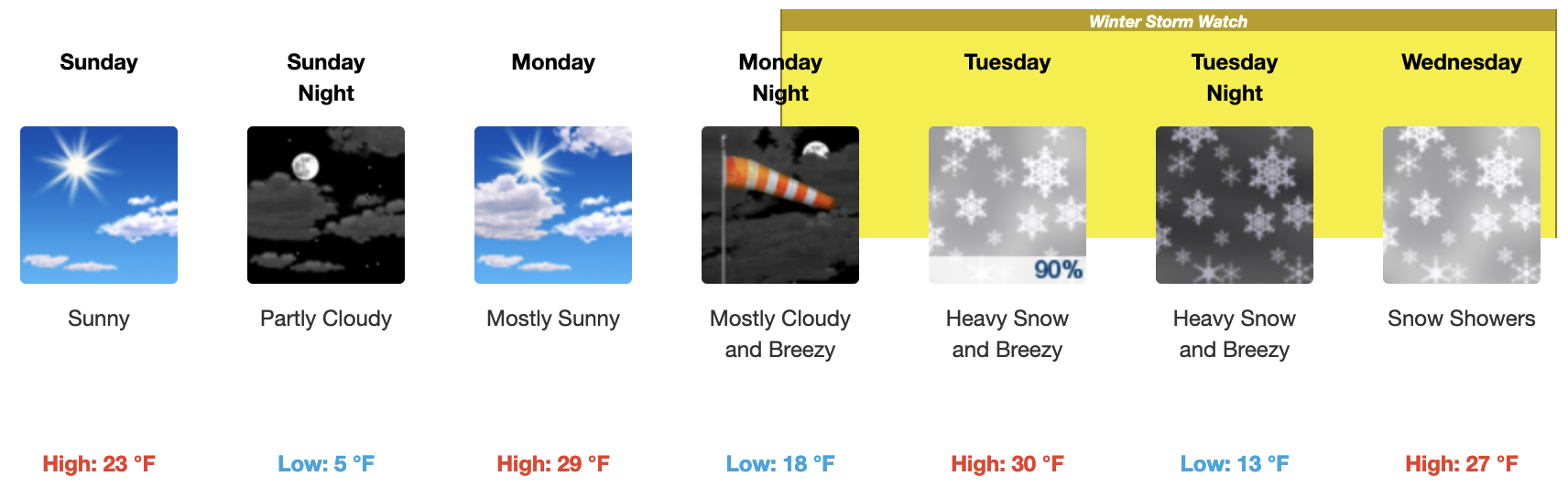
Saturday, March 25th, 2023 @ 7:30 AM – Good morning expect mostly clear skies today and Sunday with some afternoon clouds with a few snowflakes possible.
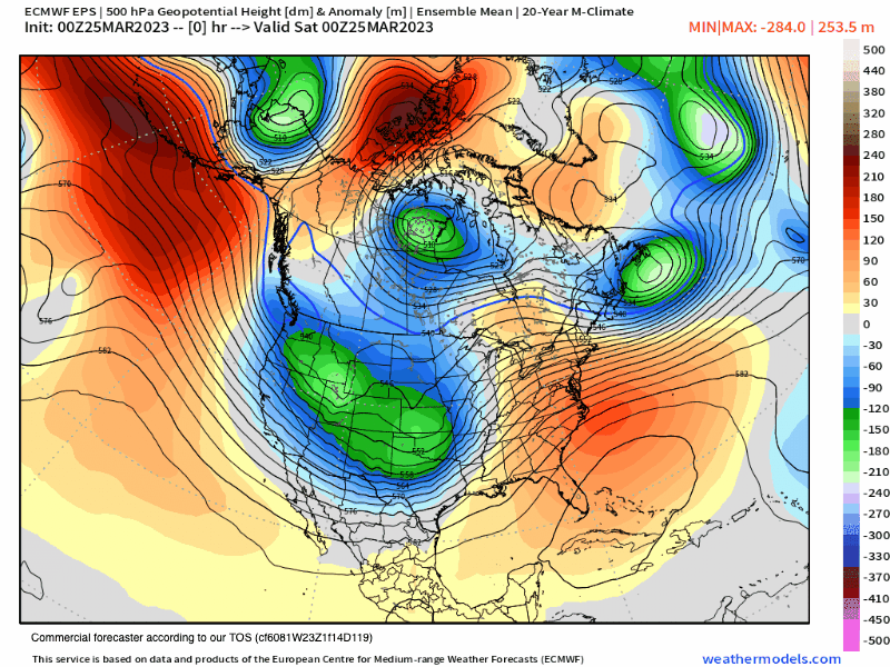
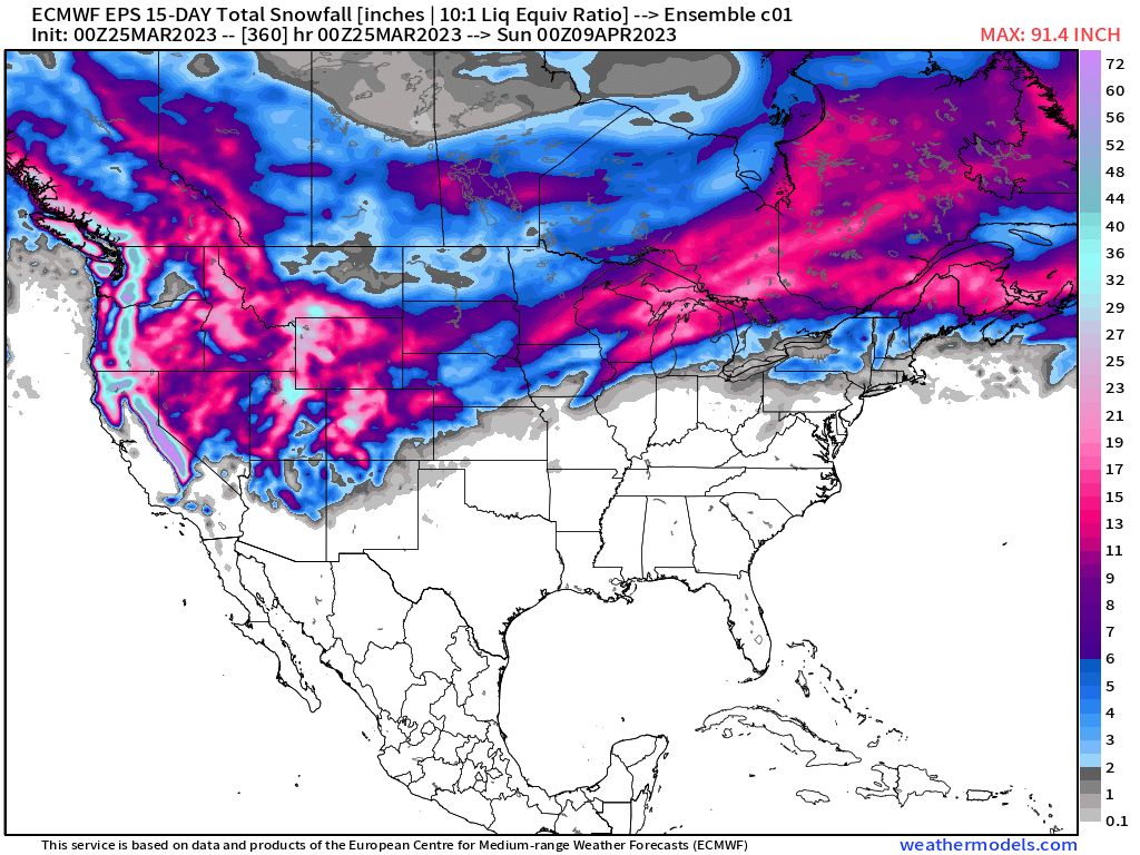
The next winter storm coming into the Mammoth Mountain and Eastern Sierra areas is scheduled for Tuesday with moderate to heavy snow expected during the day and into the overnight hours.
Snow showers and cloudy skies with gusty winds will then be the rule on Wednesday and Thursday before skies clear out next Friday. This next system has some uncertainty to it at this time.
Snowfall amounts for the next weather event, as of this Saturday morning, look to be in the 6-12 inch range for the 7500 to 8500 range with 1-2+ feet possible over the higher elevations. In the best-case scenario, the Powder Fields of Mammoth Mountain could see 2-3 feet of snowfall.
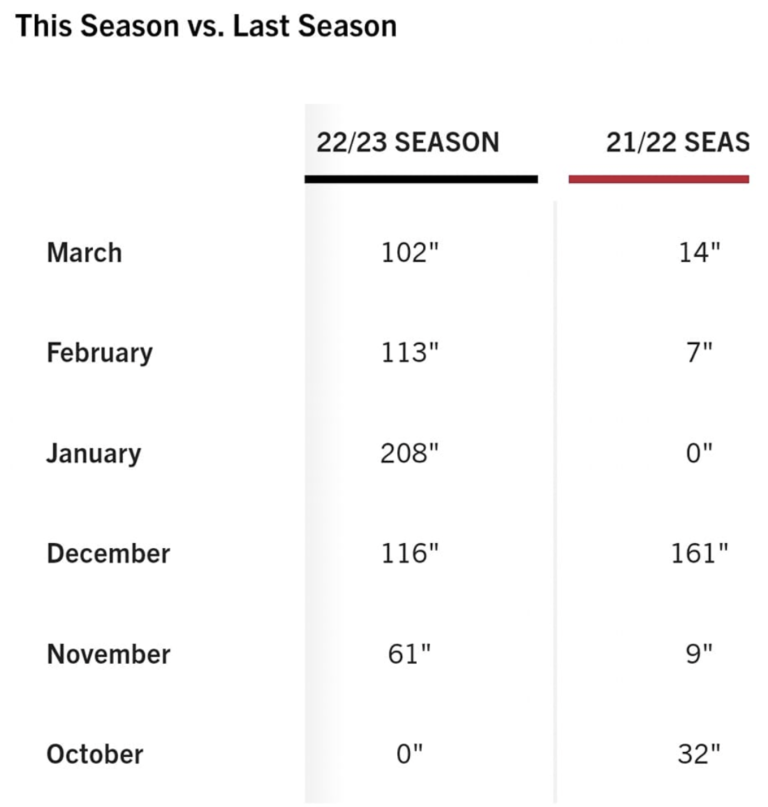
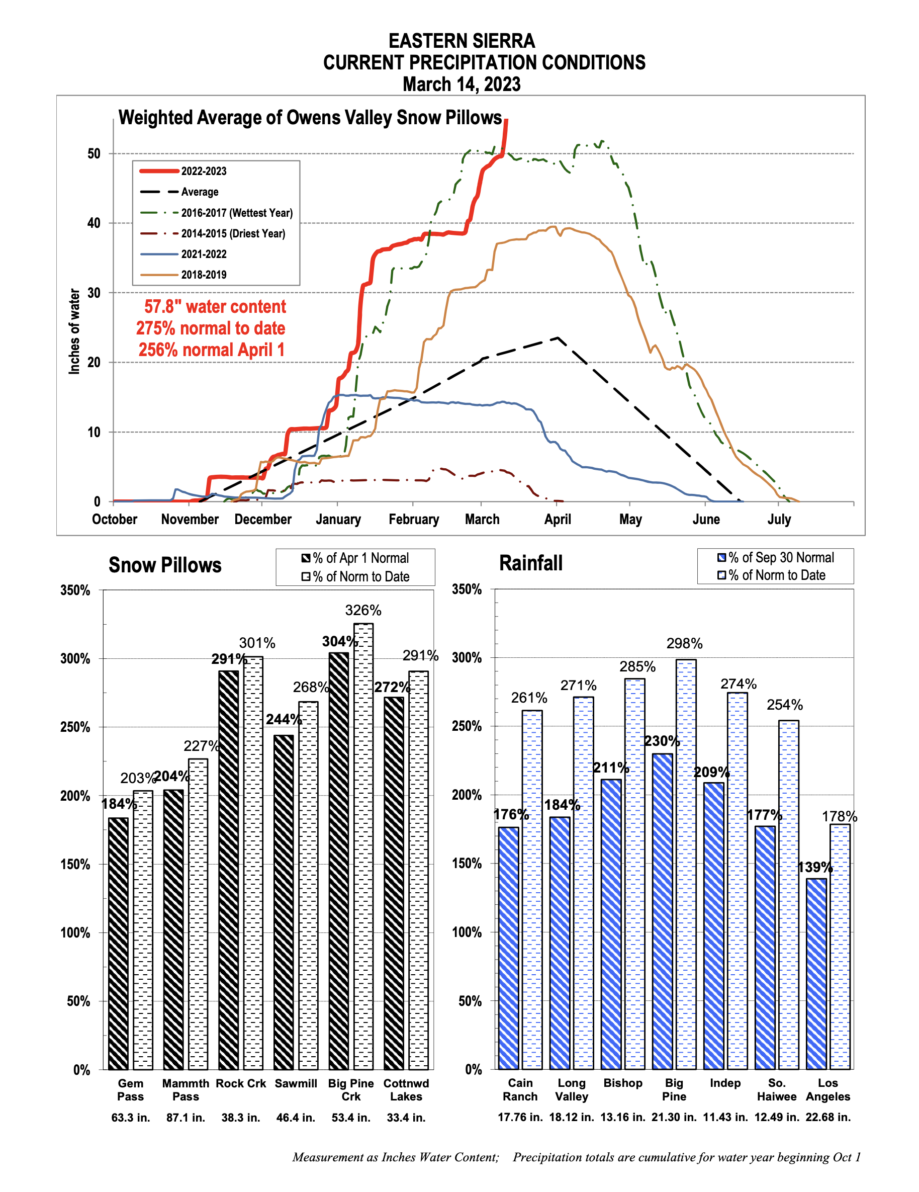
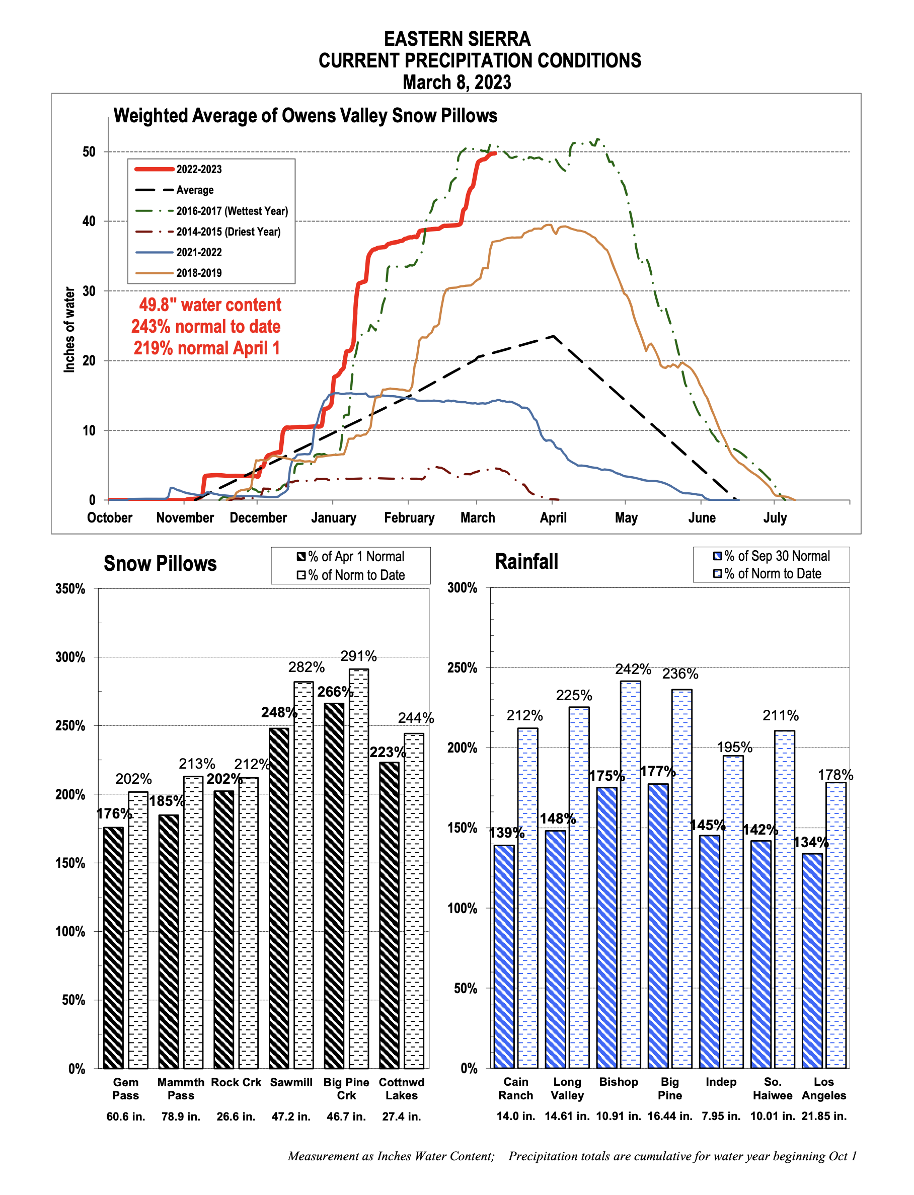
Never had to say this before but let’s hope for the lower-end totals to pan out as Mammoth Mountain and the Eastern Sierra have more than enough snow at this point.
This is the most snow I have personally ever seen since my first full season out on the hill in 1985. It’s really strange having to ski down to load on all the chair lifts.
Current Weather Alerts: WINTER STORM WARNING IN EFFECT FROM 5 AM TUESDAY TO 5 AM PDT WEDNESDAY…
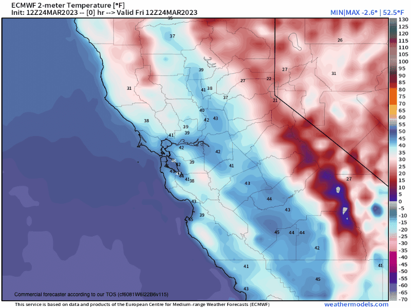
If you’re going to be out on Mammoth Mountain today, expect pt cloudy skies with a slight chance of snow showers during the PM Hours. Temperatures will be in the mid to upper 20s with SW winds 15-25 MPH range with gusts in the 25-35 MPH range over the higher elevations.
On Sunday there will be mostly clear skies with temperatures in the mid to upper 20s with SW winds in the 15-25 MPH range with gusts in the 25-35 MPH range over the higher elevations.
By Monday skies will have increasingly high clouds during the day. Temperatures will be in the upper 20s to lower 30s with SW winds once again in the 15-25 MPH range with gusts in the 25-35 MPH range over the higher elevations.
On Tuesday the main part of the next weather system will be in the area with moderate to heavy snowfall and moderate to strong winds. This could be the last decent Riders of the Storm day, lets’s hope they can run chair 22 and 25.
For the full 10-day outlook and the longer-range outlooks scroll down the page.
Ski Ya Later Snowman