Sunday, April 16th, 2023 @ 11 AM – Good morning, as we enter the mid-April time period expect the typical roller coaster ride of going from high pressure to weak troughing in the area to continue.
That type of pattern brings periods of warm weather with light winds and then windy cooler weather with scattered snow showers that are sometimes mixed in. As of this Sunday morning, the next 7 days overall look to be dry.
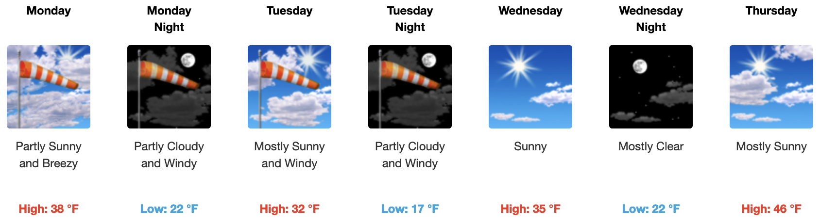
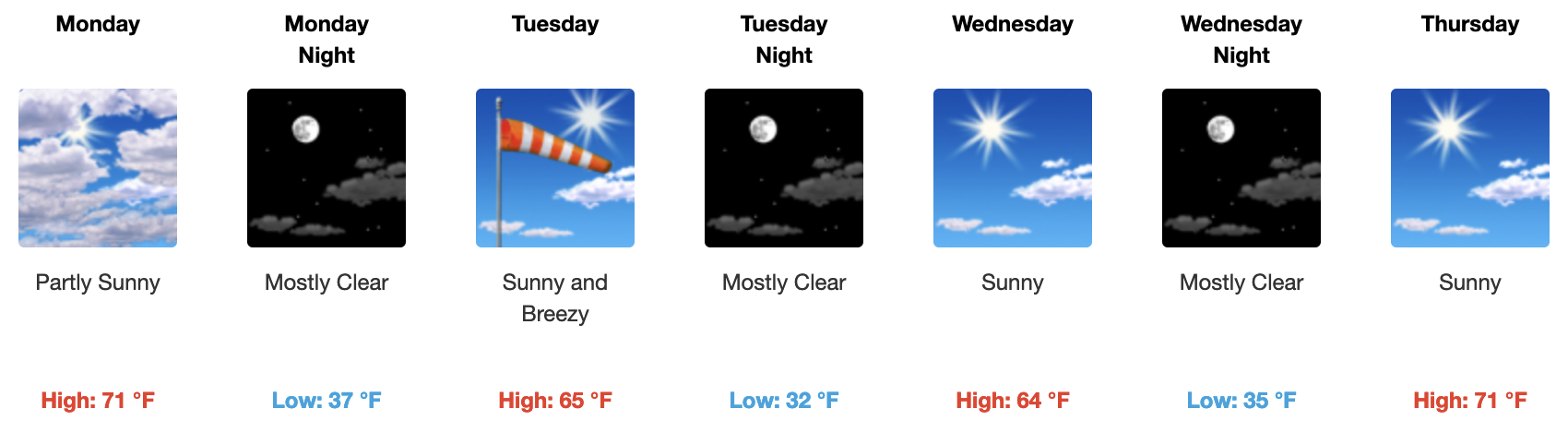
To start this week the high-pressure system that has brought a bit of a warm-up the last couple of days will be moving off to our east and will be replaced Monday / Tuesday with a dry cold front that will bring cooling daytime highs and increasing SW winds.
On Monday Mammoth Mountain at the 9000-foot level / Main Lodge will get into the upper 30s with low 40s in Mammoth Lakes. Down in Round Valley and the Bishop areas highs will be in the upper-60s to the lower 70s.
By next Thursday, temperatures be on the rebound back into the mid-40s with lighter SW winds.
Beyond that time frame the next ridge builds in by the weekend offering up some very nice spring conditions into early the following week.
For now, there are no trustable signs of winter returning any time soon. What you can expect over the next month is below-average highs for a prolonged run-off of the snowpack.
Snowman