 Mammoth Mountain & Eastern Sierra Weather Summary:
10-22-2020 Over the next week, we have some interesting weather to watch with two back door cold fronts in the forecast, our first dusting of snow, and the first run of the snowmaking system.
A weak back door cold front will pass thru the area today continuing the trend of cooler high temperatures. Beyond that, not much effect will be felt this far south. Winds look to remain out of the WSW to SW so expect the haze and smoke to continue.
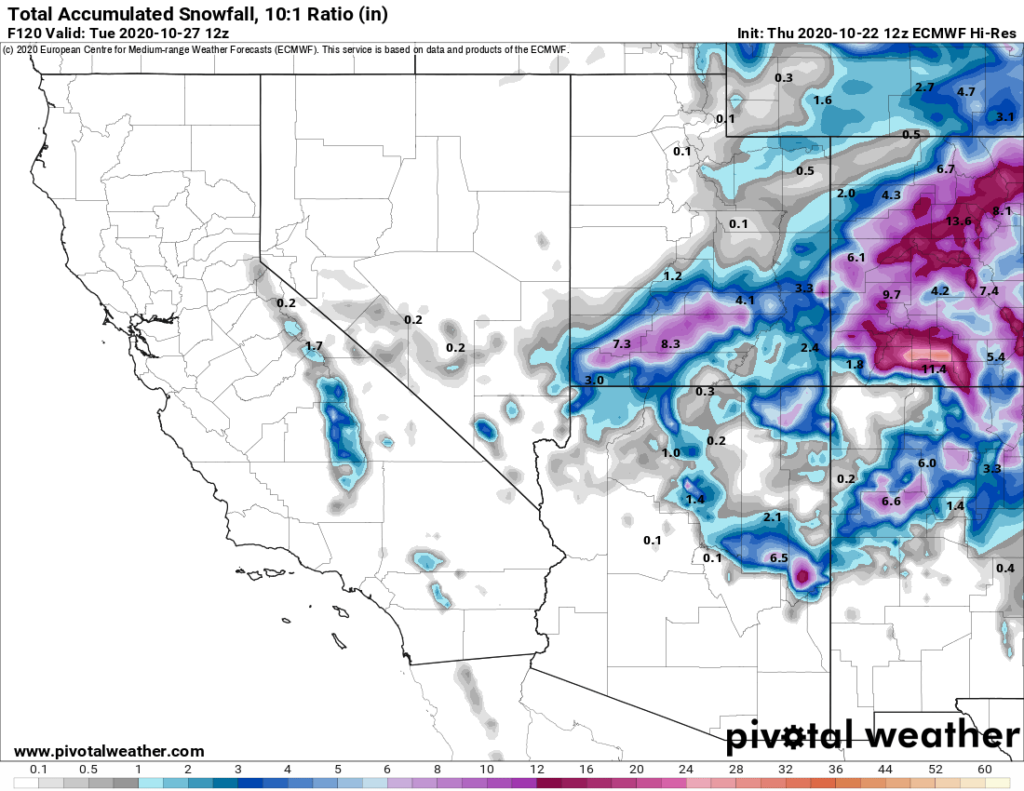
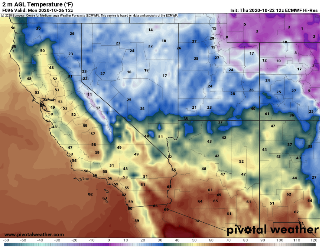
After a bit of a warm-up on Friday and Saturday a much stronger backdoor cold front will move into the area on Sunday. That second system will bring with it even colder air for a good snowmaking run and also some snow showers will be possible.
The snowfall amounts look to be just a dusting, however a couple of the models I look at have up to one to two inches along the Sierra Crest.
Along with the snow and cold will be a NE flow for the better part of next week. That wind flow direction will get rid of the smoke in the Eastern Sierra for several days.
I would make plans to get out for some hiking and biking if you can while the air is clear next week. Be prepared it’s going to feel cold after months of above normal highs.
Yahoo, I can hardly wait, any talk of snow, cold and snowmaking puts a smile on my face! 🙂
Forecast for Days 1-3 Thursday into Saturday – for the Mammoth Mountain Main Lodge area, expect mostly clear skies with smoke and haze. Highs will be in the mid-50s with lows into the mid-30s. Winds over the higher elevations will be southwest 20-40 MPH at times.
For Mammoth Lakes, highs will be into the low to mid-60s depending on your elevation in town. Lows will be down into the 30s the next 3 nights before they plummet late in the weekend. Winds are expected to be WSW to SW at 5-15 MPH at times.
For Bishop, highs will be in the upper 70s to low 80s with lows in the 40s, except a freeze Monday and Tuesday before sunrise into the early morning hours.


