

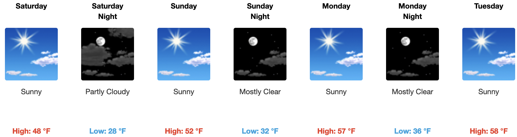
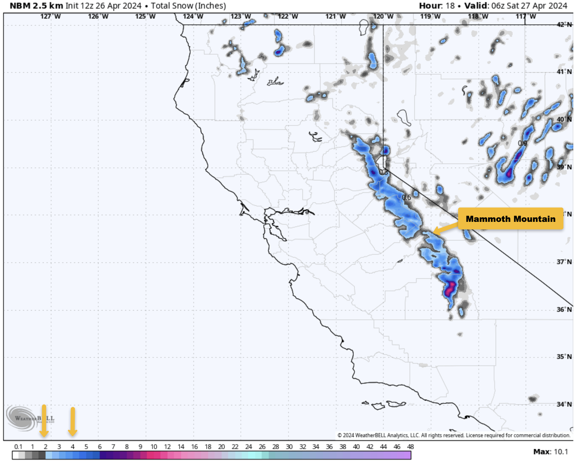
April 26th, 2024 @ 10 AM – Snow Showers are in the area this morning as a weak system is working through today. Overall snowfall from this low looks to be in the 1-4 inch range, so far there is an inch. Afternoon build ups could produce additional snowfall but as of now I have my doubts that happens.
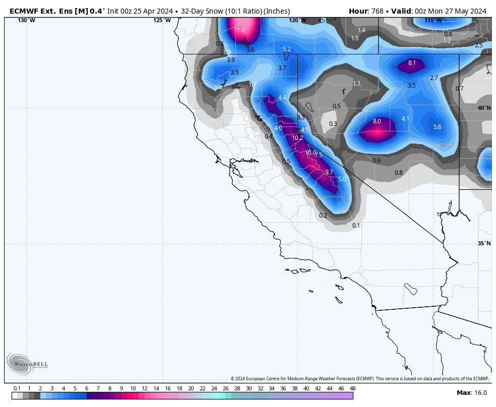
Once this system exits the area there will be a rapid warm up starting on Sunday as higher heights take over the area through at least next Thursday.
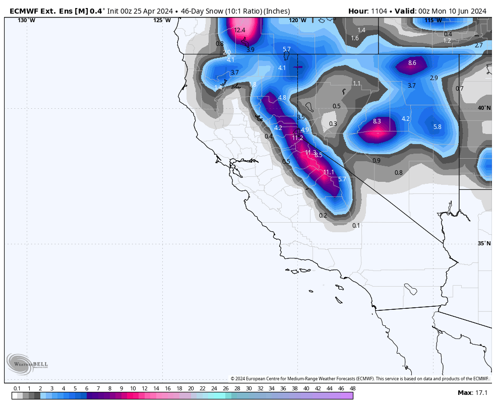
Beyond that time frame the strong low models had for the following weekend is now just weak broad troughing that could bring some very light rain and snow showers with PM build ups starting around May 3rd or 4th.
At this time of year the weather is in transition so forecasts beyond day 5 now are a bit sketchy at best when it comes to weak troughing off the coast or cut off lows.
Snowman


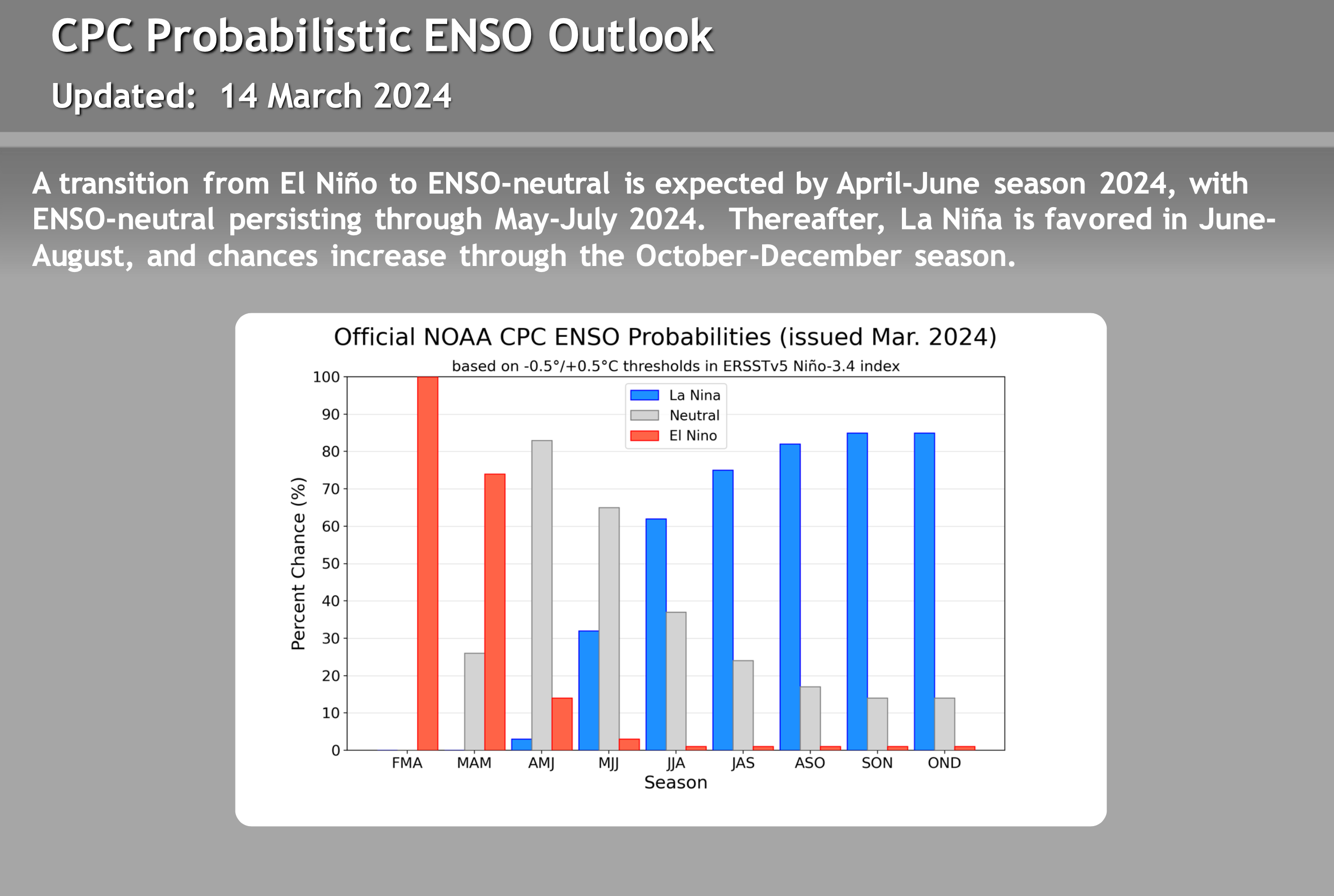
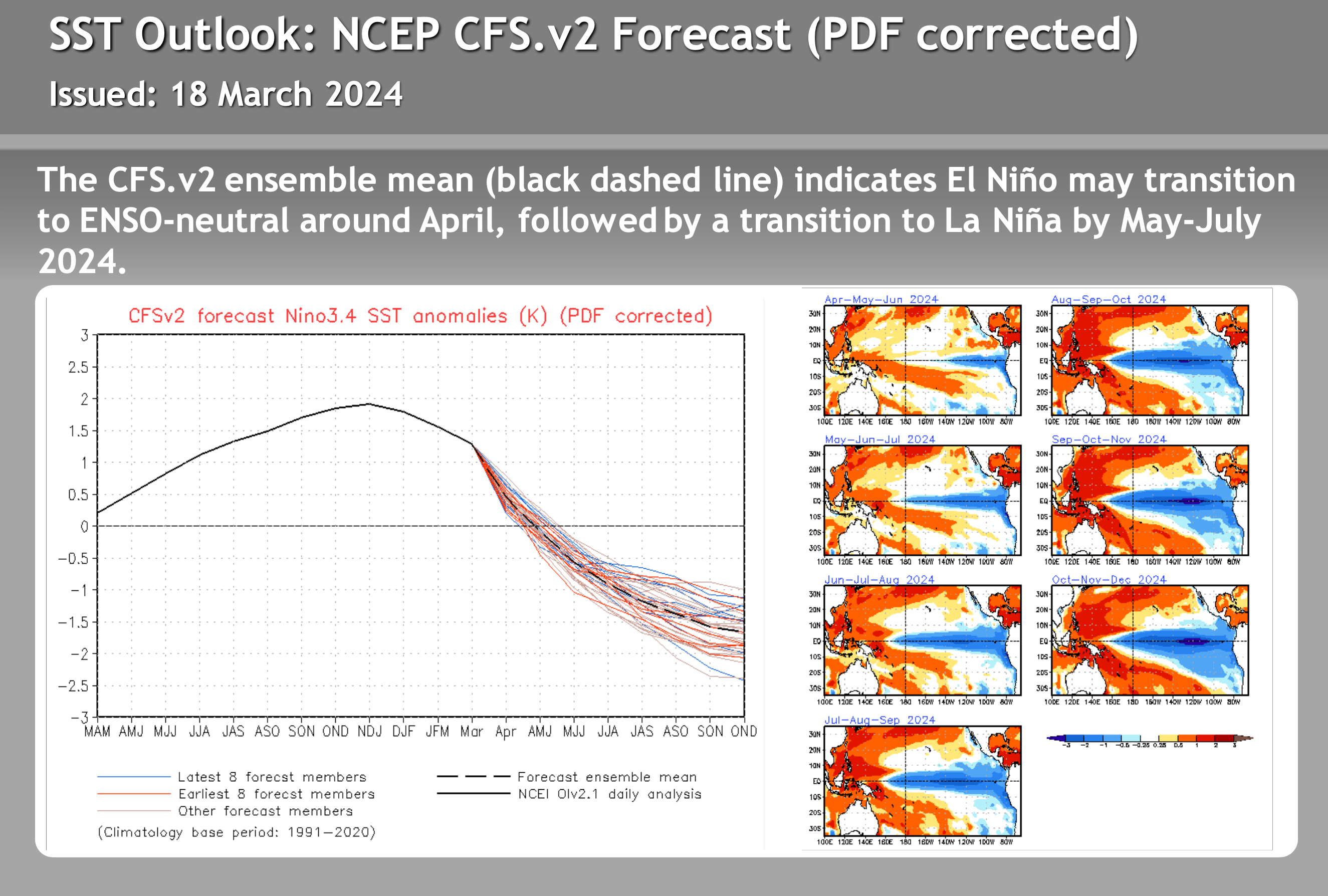
El Nino – La Nina – Neutral Watch


Author – Steve Taylor – The Mammoth Snowman – Over the last 30+ years, Snowman has spent countless hours studying and learning about Mammoth Mountain Weather and Snow Conditions first hand. He has been skiing around the hill with marked ski poles since March of 1991 so he can measure the fresh snowfall amounts out on the hill.
Snowman started blogging this information back in 1990 on the old Mammoth BBS system, then the RSN Forums and then on to MammothSnowman.com in 2004 with Video & Photo Blog reports. (No YouTube back then). Facebook got added to the fold back in 2008 and then the Facebook Group in 2016.
Reports, videos, and photos from the website have been featured on both local TV Stations here in Mammoth and Bishop, along with KTLA, AP, Fox, ABC, CBS, and NBC News.
Click Here to Learn More About the People Who Make MammothSnowman.com a Reality


