Storm Update at 7:59 AM on April 16th, 2022
Good morning everyone, this is the most productive storm win the area since late December.
Unofficially storm total so far from the Sesame Street Snow Study site shows .82 of water from this storm. The snowfall count is not working at this hour but we can assume there is 7-8 inches of new at the 9000 foot level now.
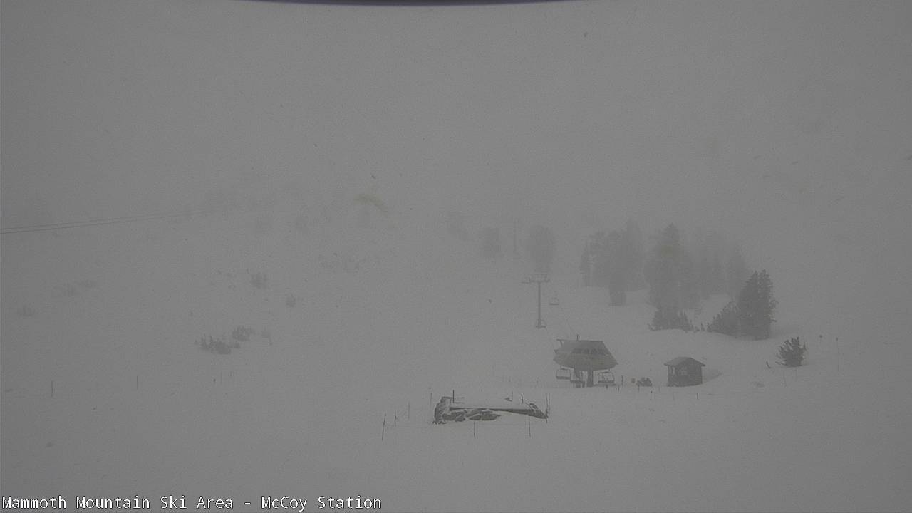
Currently there are periods of moderate to heavy snowfall out on Mammoth Mountain. The snowfall extends down the crest all the way to Bishop Creek and South Lake.
At the top of Mammoth Mountain the temperature is 22 with SW winds at 60 gusting to 104 MPH… At Main Lodge the temperature is 28, Mammoth Lakes 32 with SW winds to 15 MPH, Crowley Lake @ 37, Bishop @ 55.
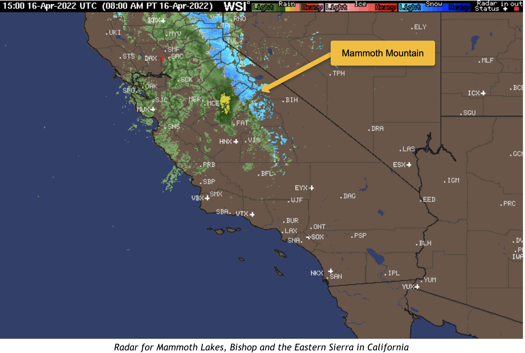
Taking a look at the radar image you can see there is lot’s more on the way for Mammoth Mountain. The most intense part of the system is where you see the yellow bands lets hope that comes thru the area in the next few hours.
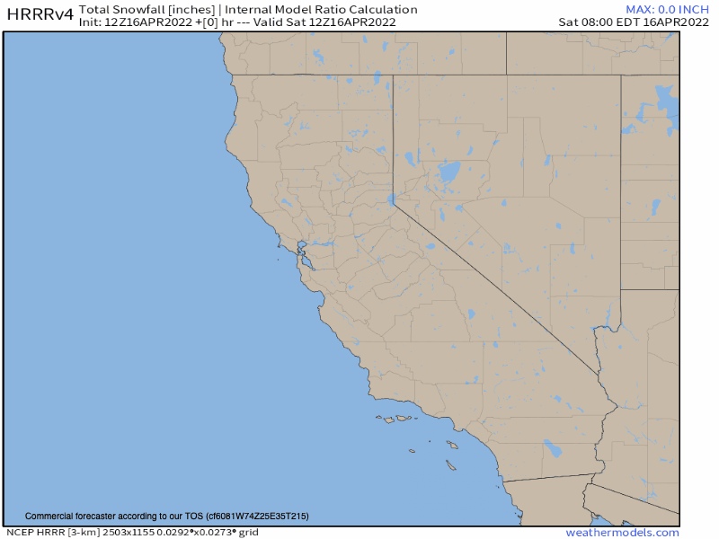
Taking a look at the latest HRRR forecast below for snowfall and precipitation it has .84 of water still on the way for the upper reaches of Mammoth Mountain. So you can expect an additional 4-8 inches of snowfall fall from this system.
Winds have picked up now so that will limit the accumulations moving forward with this system.