February 1st, 2029 @ 6:30 AM Good morning; winter has returned with moderate to heavy snowfall and strong gusty winds over Mammoth Mountain. Snow levels this morning have dropped down to the top of the Sherwin Grade.
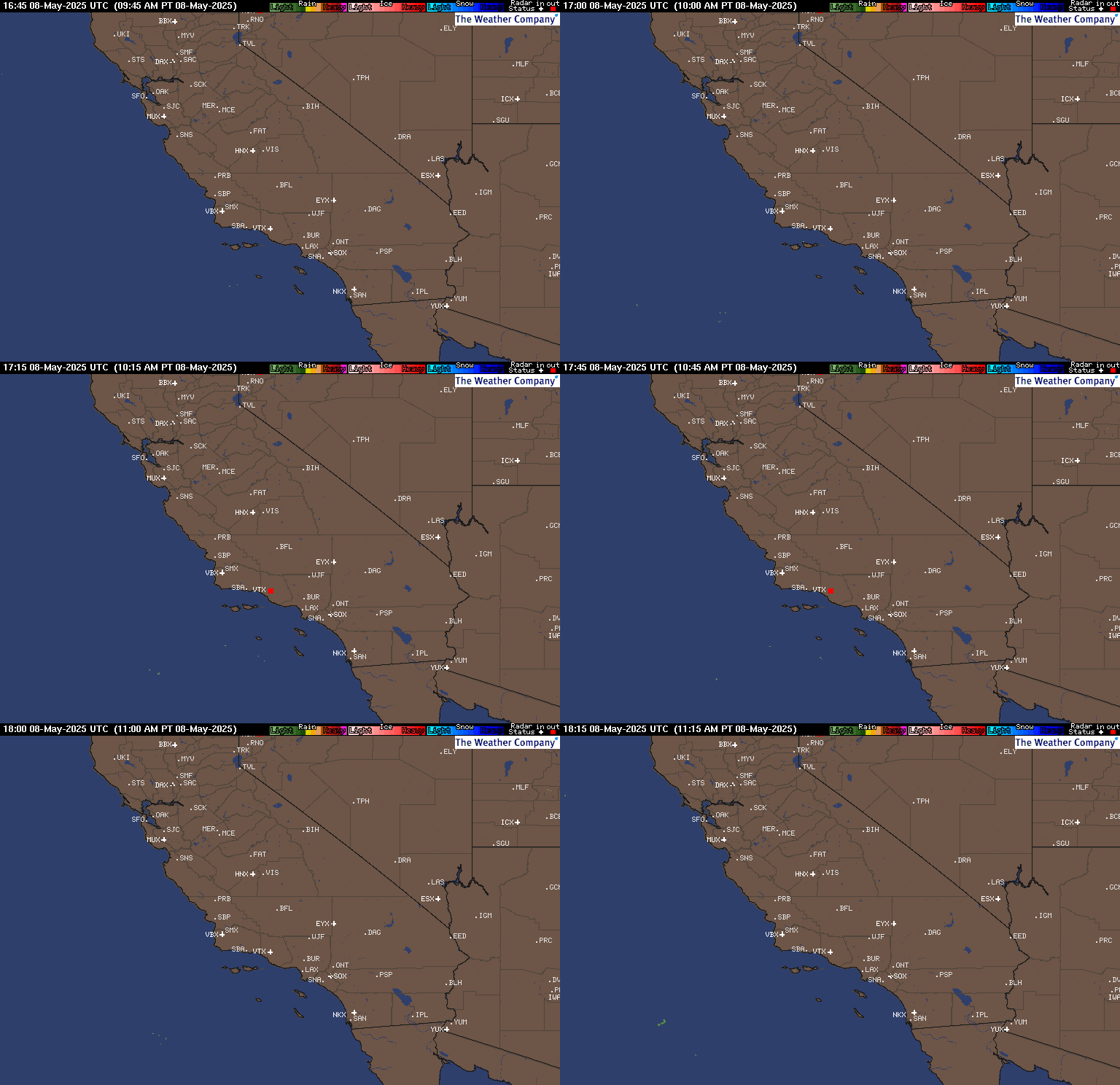
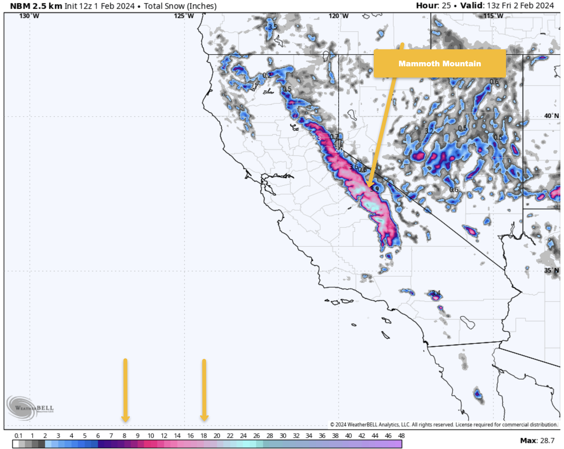
This morning’s radar shows a deep band of moisture over Mammoth Mountain and the Eastern Sierra. Overnight snowfall totals at the Snow Study Site as of 6 AM show 14 inches of snow with 1.33 inches of water content. Snow ratios this morning are in the 12-1 range and will go up a bit once the main front passes.
Up Top, the temperature is 20 degrees with an SSW wind at 51 MPH, gusting to 68 MPH at the 11,053-foot elevation. With an estimated 18 inches of new snow since late yesterday afternoon. Down in the Main Lodge area, the temperature is 27 degrees, with winds at the top of chair 1 out of the S at 12 MPH, gusting to 35 MPH.
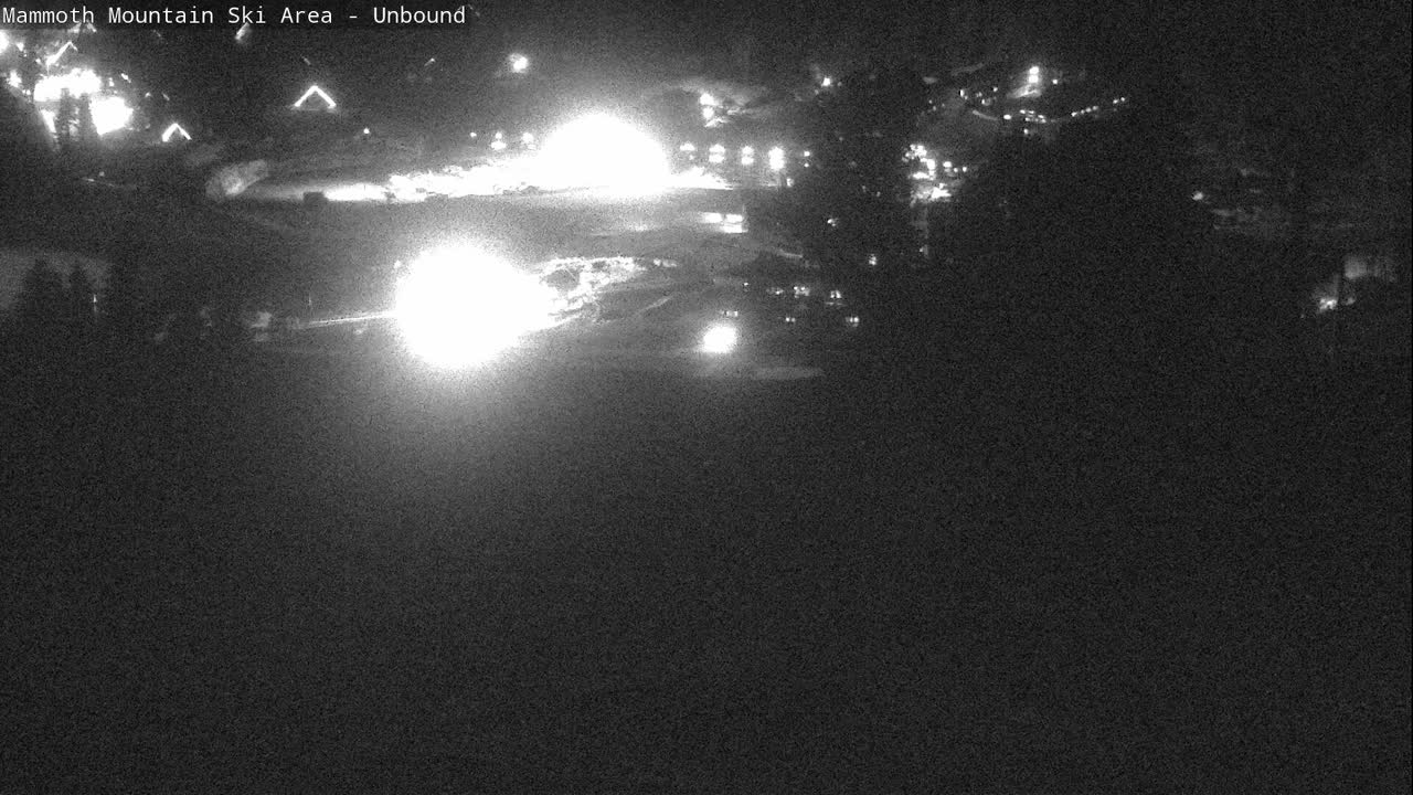
Travel and Road Update: Chains or Snow Tires are required from 17 miles north of Bishop this morning. Looking at the webcams, it appears there are about 1-2 inches of new heavy, wet snow that fell on 395 last night. You can expect these chain controls to remain in place well into Friday, if not right into the weekend and beyond.
The real travel issues will start later on Sunday and last into Wednesday night from a second stronger low-pressure system moving in. That system looks to bring snow moderate at times on 395 from about halfway up the Sherwin Grade up to Mammoth Lakes and Northward. My advice is to avoid travel on Monday and Tuesday if you’re not into driving in moderate snowfall on rough roads.
For the Cal Trans Map and local Webcam road views, use our road condition page at this link.
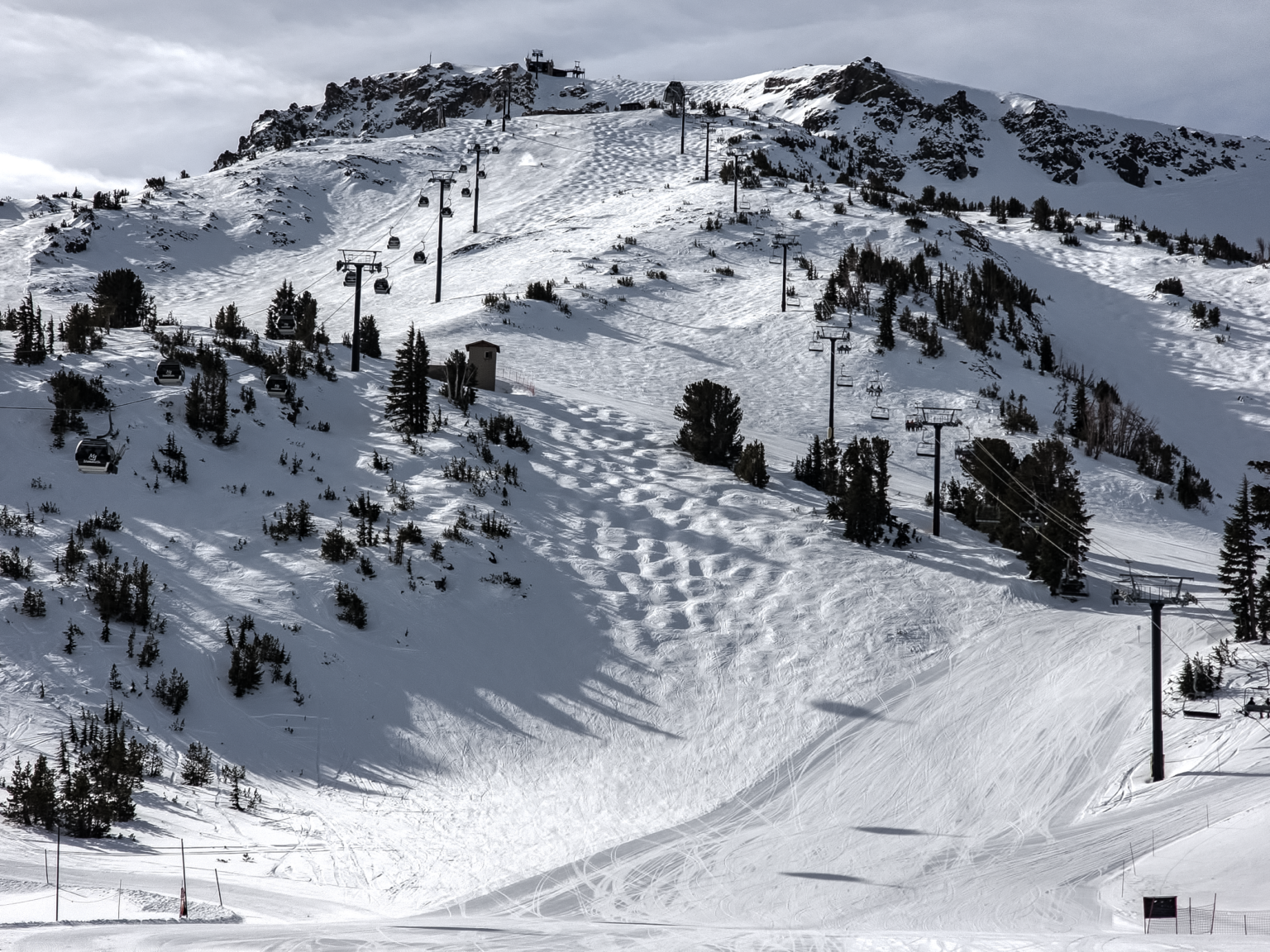
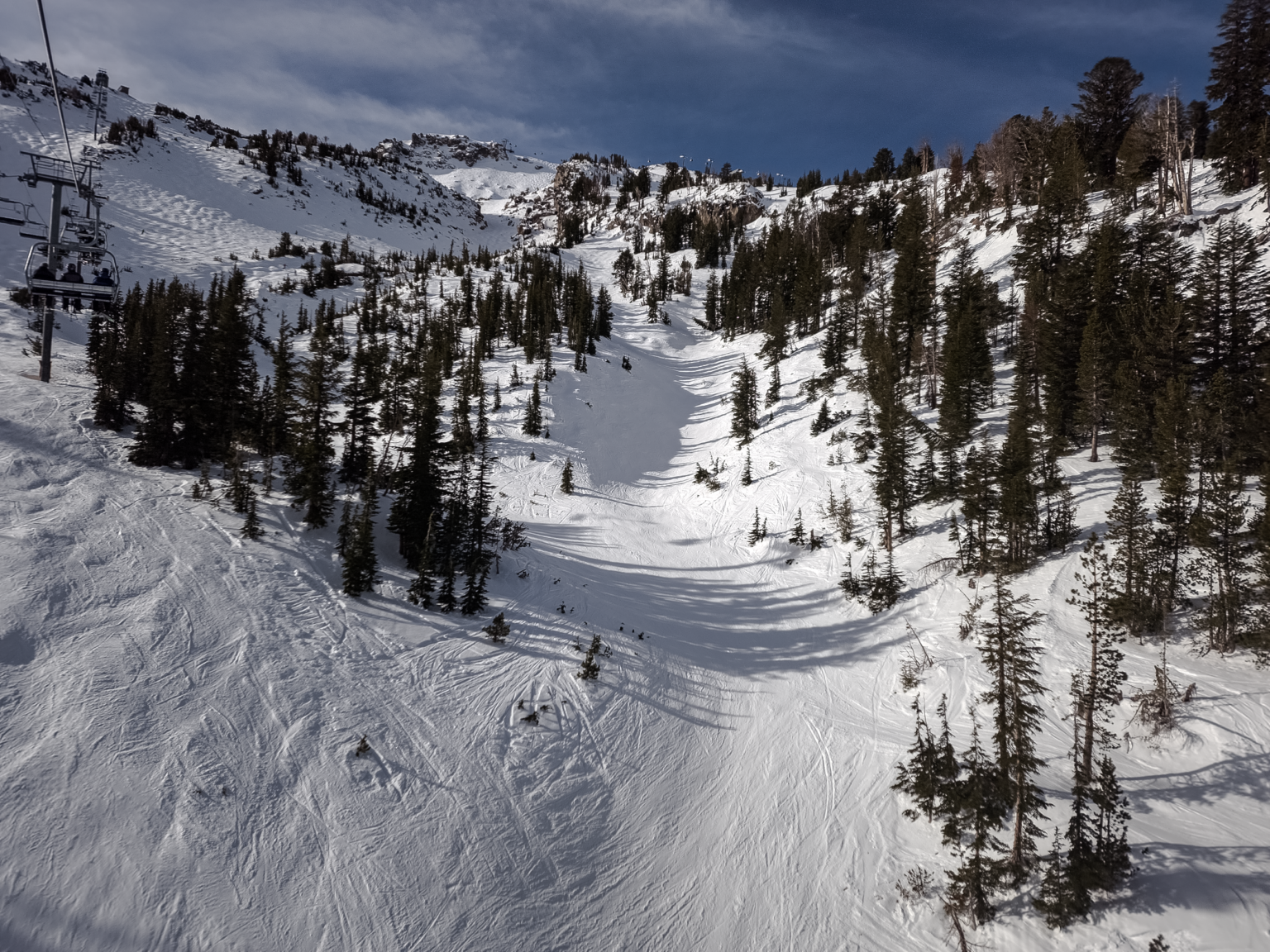
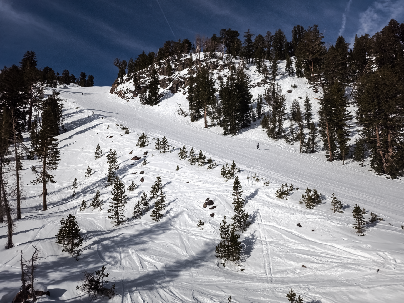
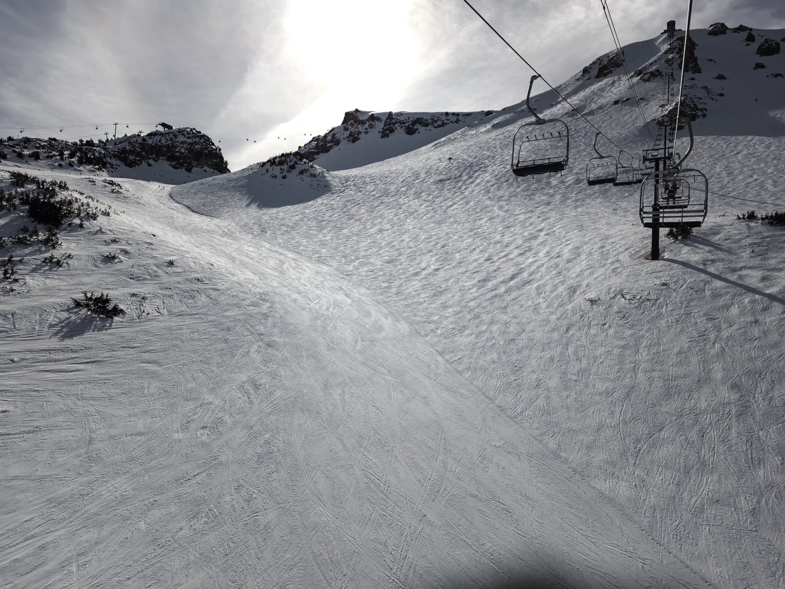
Mammoth Mountain Snow Report: Today is a Riders of the Storm Day, with a good chance that Lincoln Mountain might run for at least a few hours once the main front passes later this morning. If you’re looking for groomer runs, they should all have fresh snow on top of the corduroy at first bell, so break out those fat skis and boards.
By Friday, the main front will be gone, and you can expect snow showers, so once AVY control is done, you should have access to at least the mid-mountain lifts. I would expect a delay in any mid or upper-mountain lifts opening on Friday; once lifts open, there should be some excellent powder skiing to be had.
On Saturday, there will be a break in the action with pt cloudy skies and light to moderate SW winds. Expect the entire hill to be open by mid-morning, with the top by around noon.
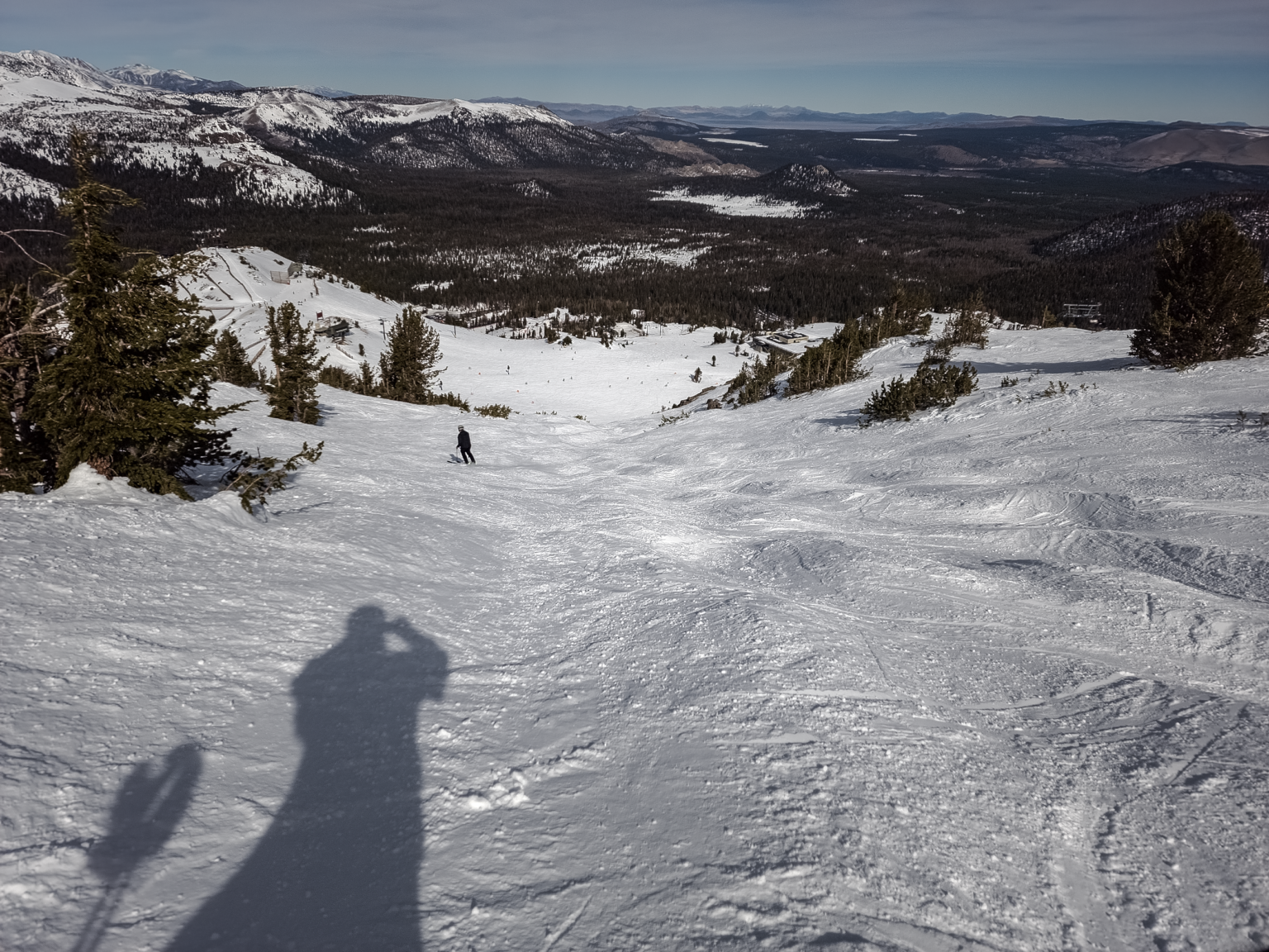
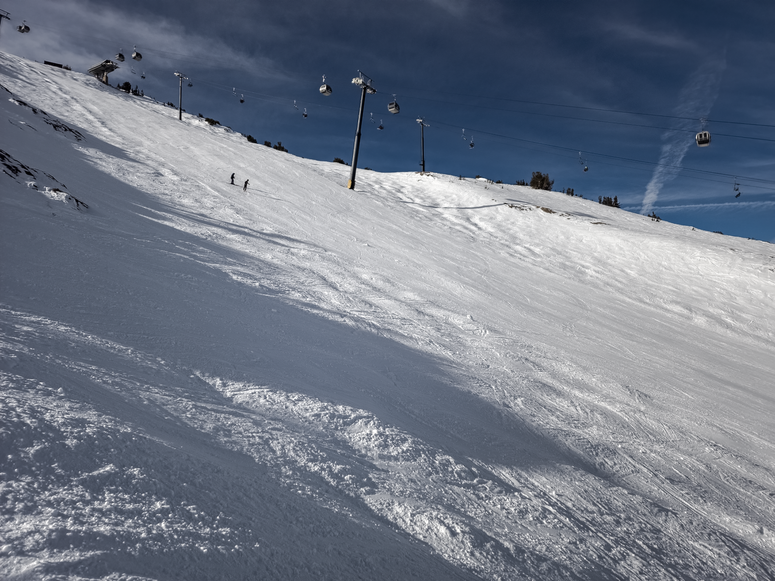
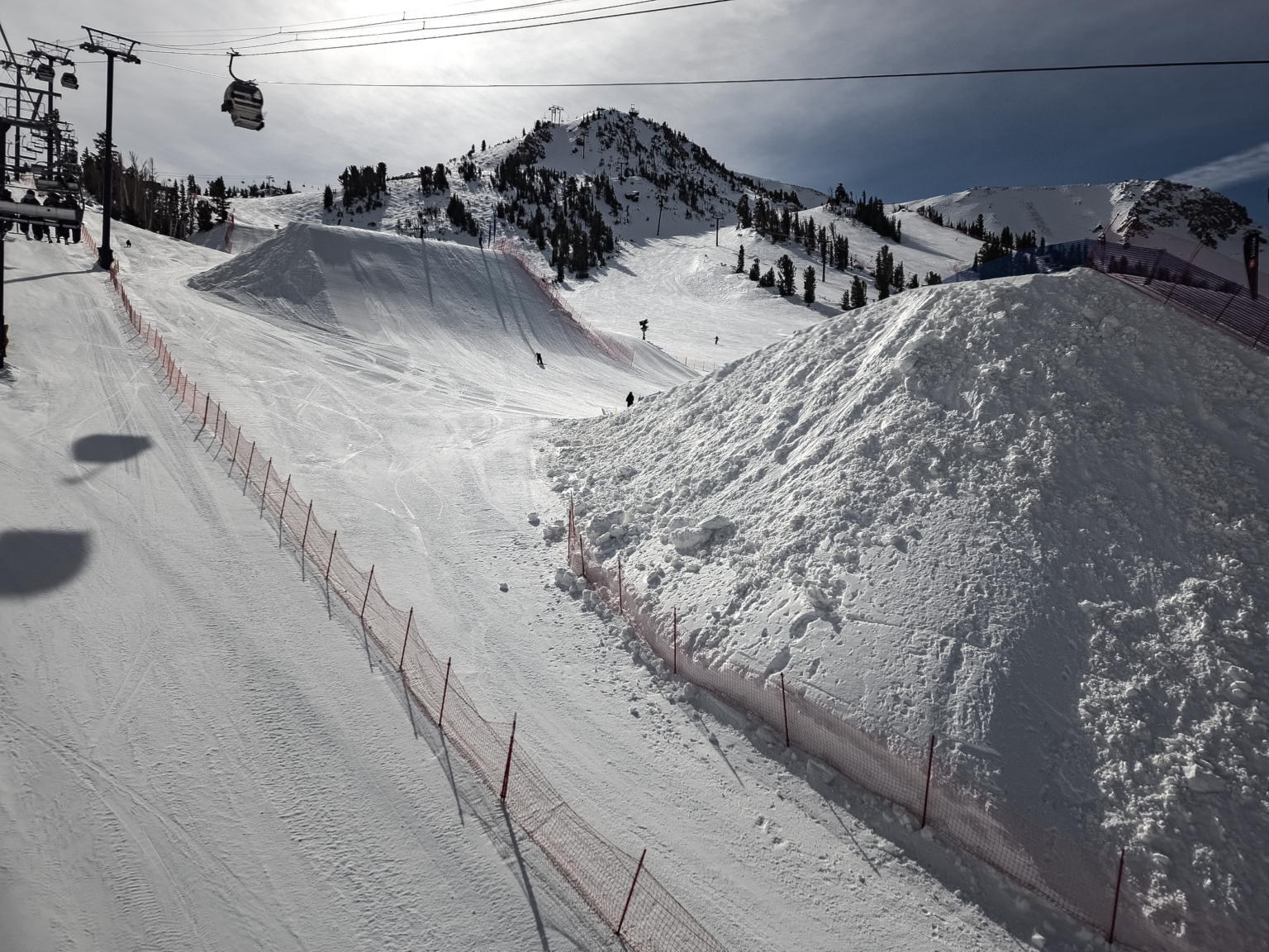
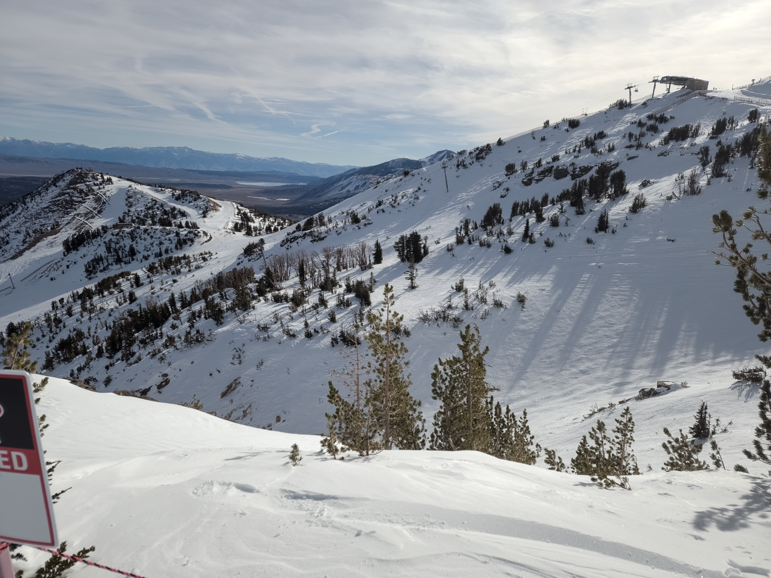
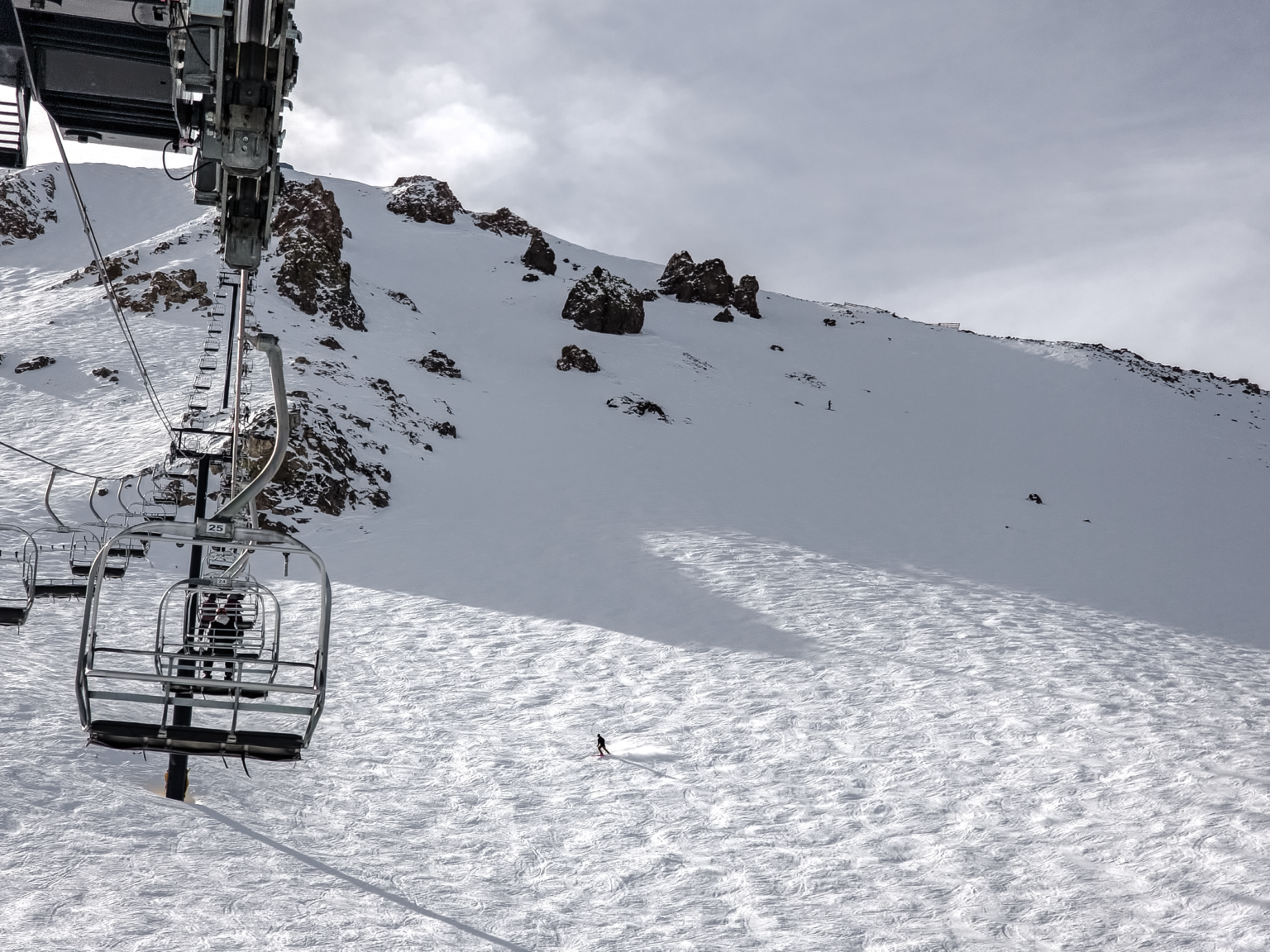
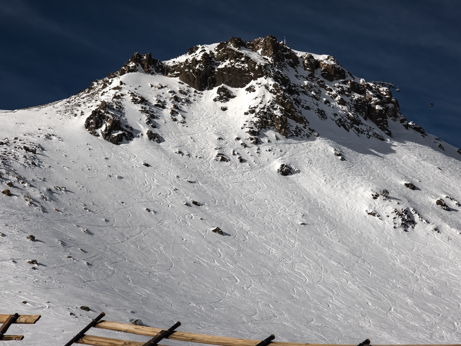
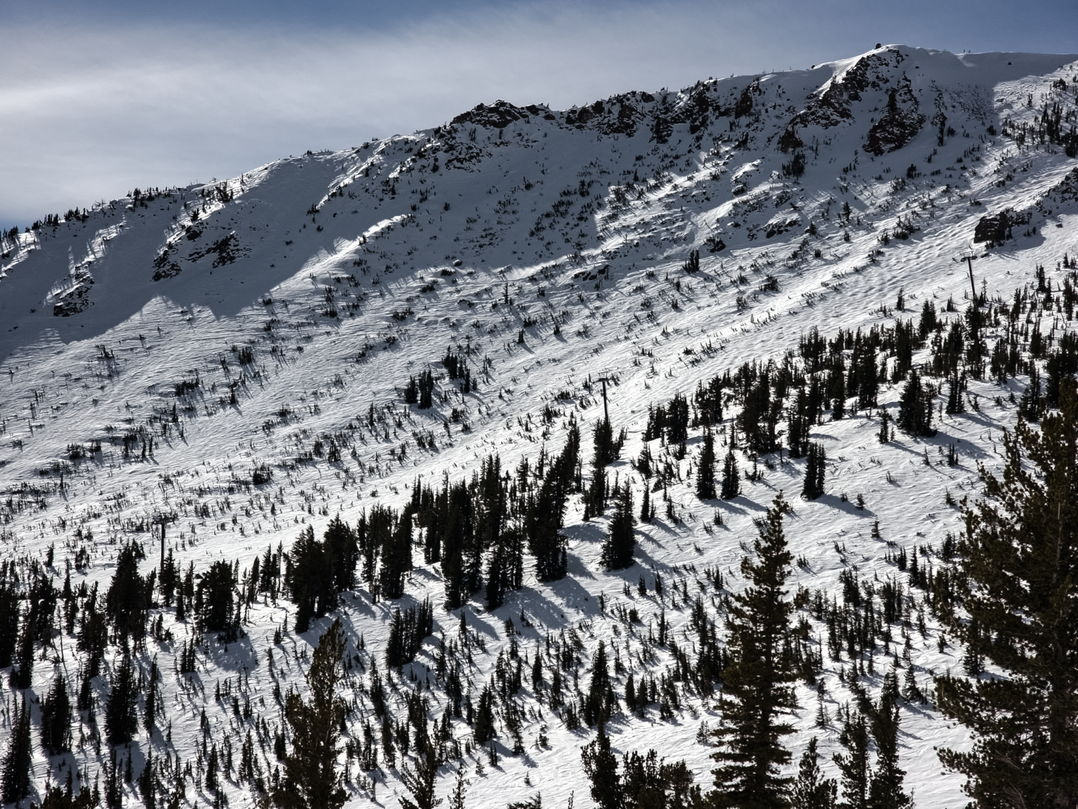
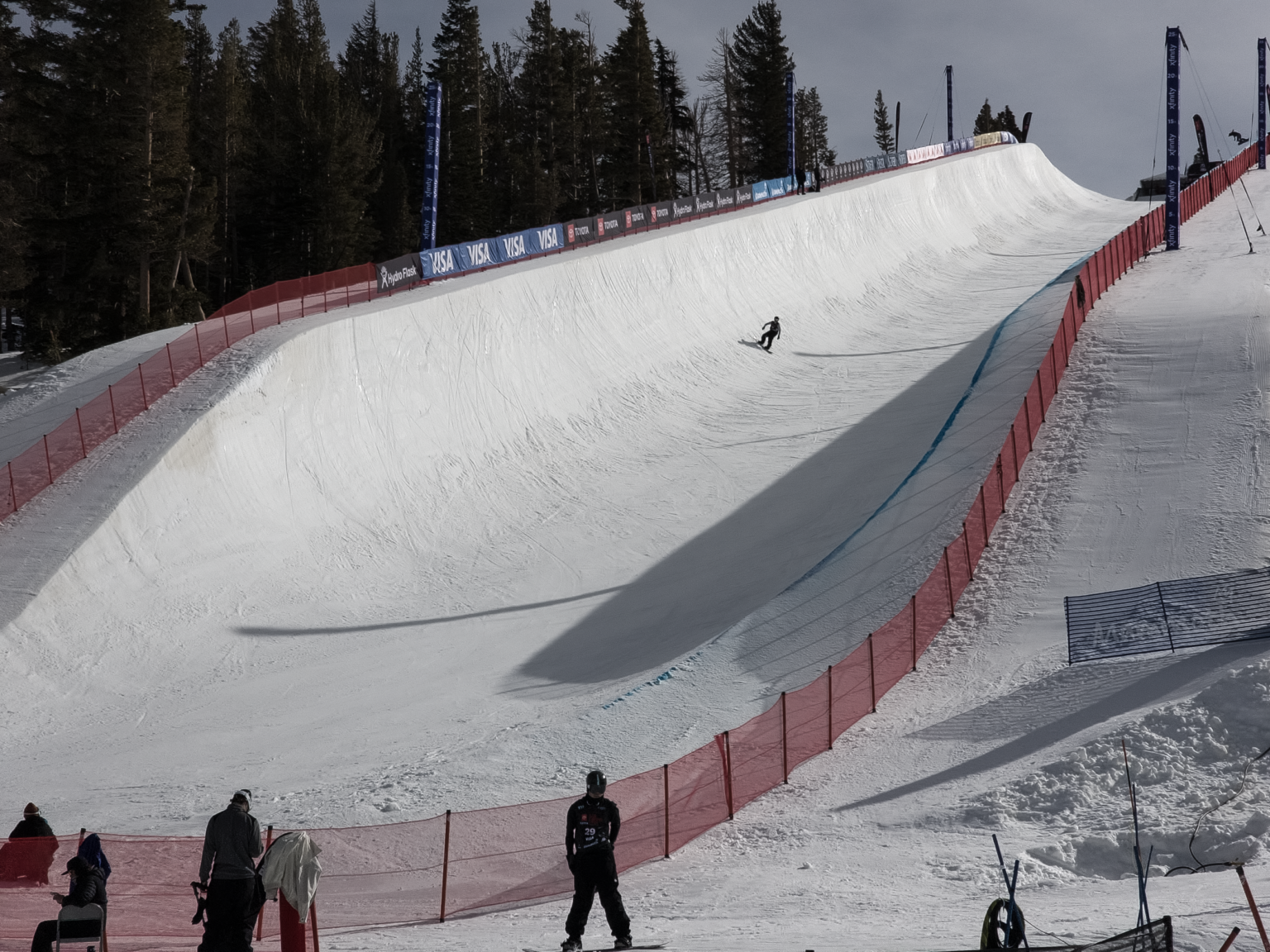
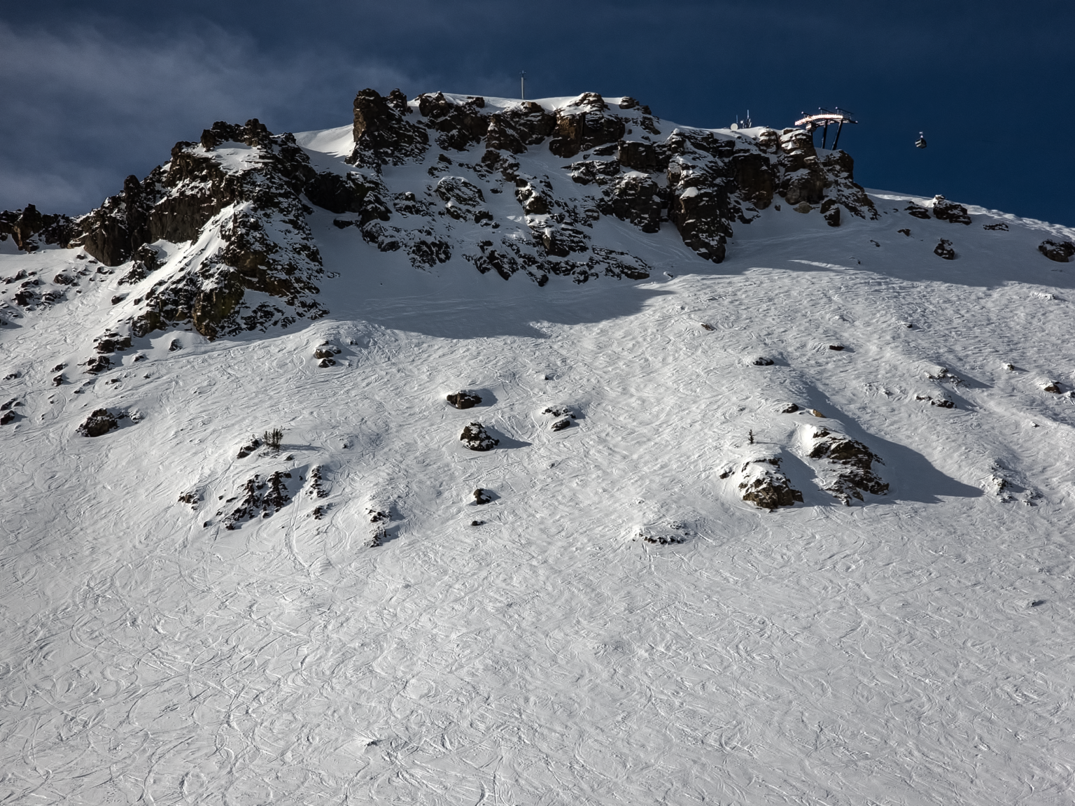
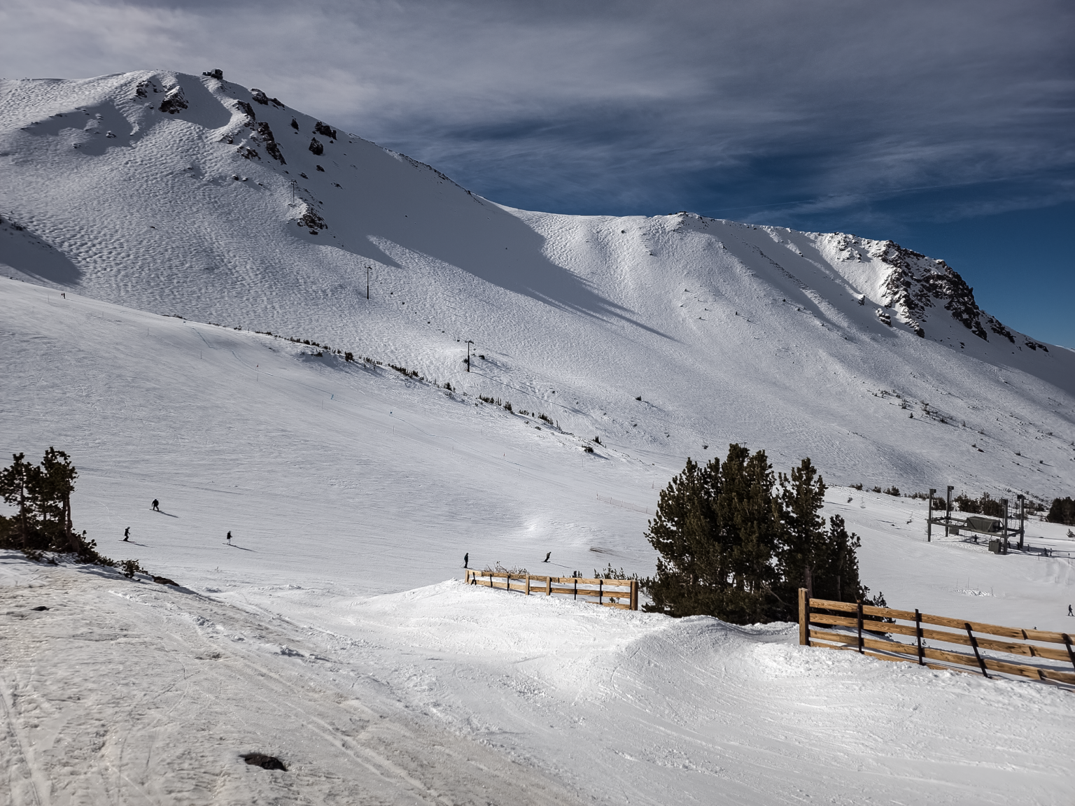
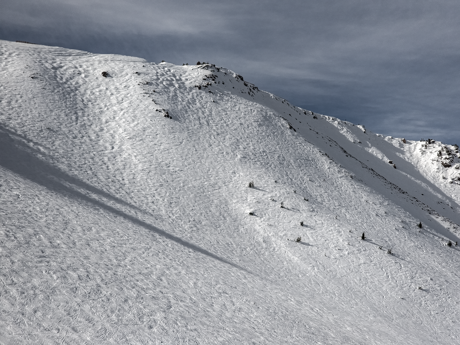
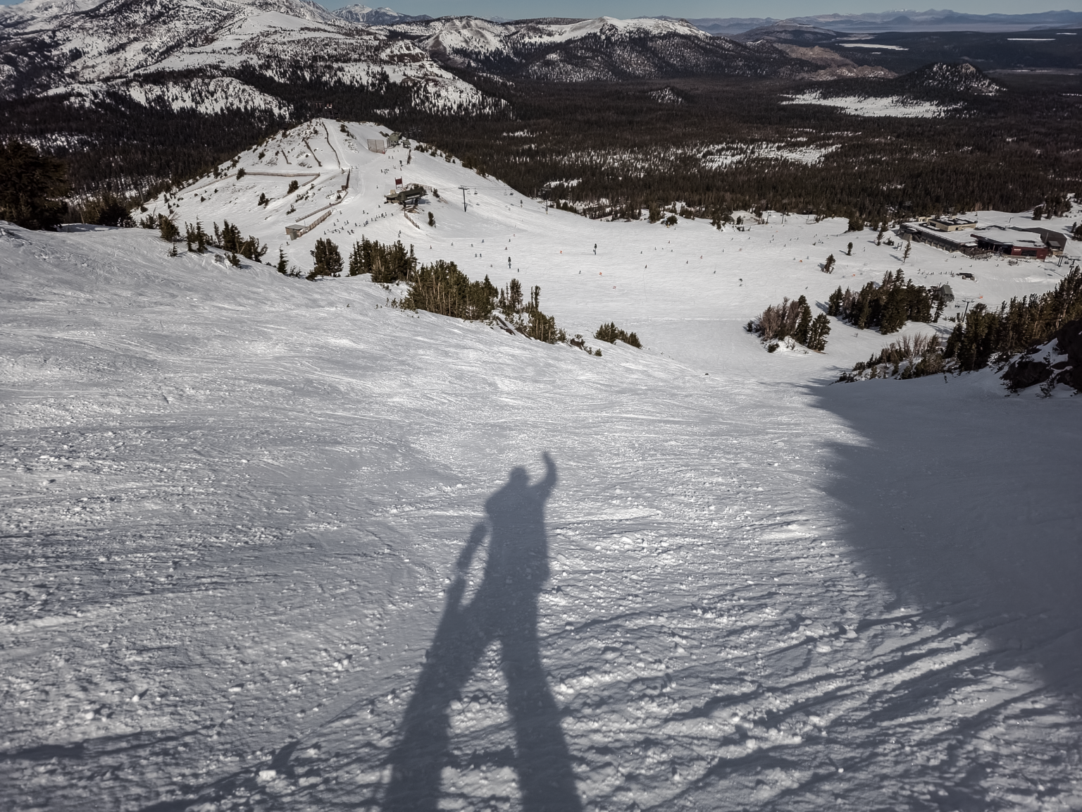
To read my full detailed snow report and see 25 fresh photos from out on the hill, click here now.
Mammoth Mountain Weather Forecast
If you’re out on the hill on Thursday, expect moderate to heavy snow at times, with 8 – 18 inches of possible new snowfall from Main Lodge up to the top of Mammoth Mountain. Snowfall ratios on Thursday look to be in the 12-1 to 14-1 range. Temperatures will be in the 20s with winds out of the south to southwest at 25 to 35 mph, decreasing to 20 to 25 mph in the afternoon with gusts in the 45-55 MPH range on the mid-mountain.
On Friday, expect numerous snow showers at times, with several more inches of fresh snow possible. Temperatures will be in the 20s with a southwest wind of 20 to 25 mph, with gusts as high as 40 mph on the mid-mountain.
This weekend you can expect a break on Saturday with temperatures in the 20s once again. Winds will be southwest at 15 to 20 mph, with gusts as high as 35 mph. By Sunday moderate to heavy snow along with moderate to strong SW winds.
Mammoth Weather Links: You will find Snowman’s Recreational Weather & Travel Forecast by clicking here. For The Mammoth Weather Guy Powder Forecast, click here.
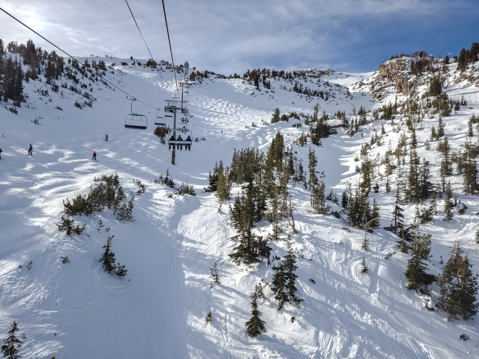
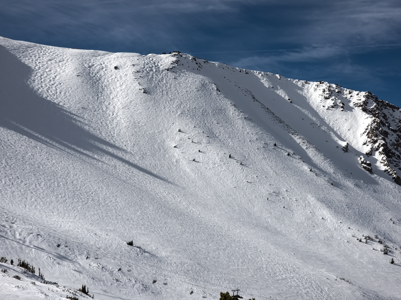
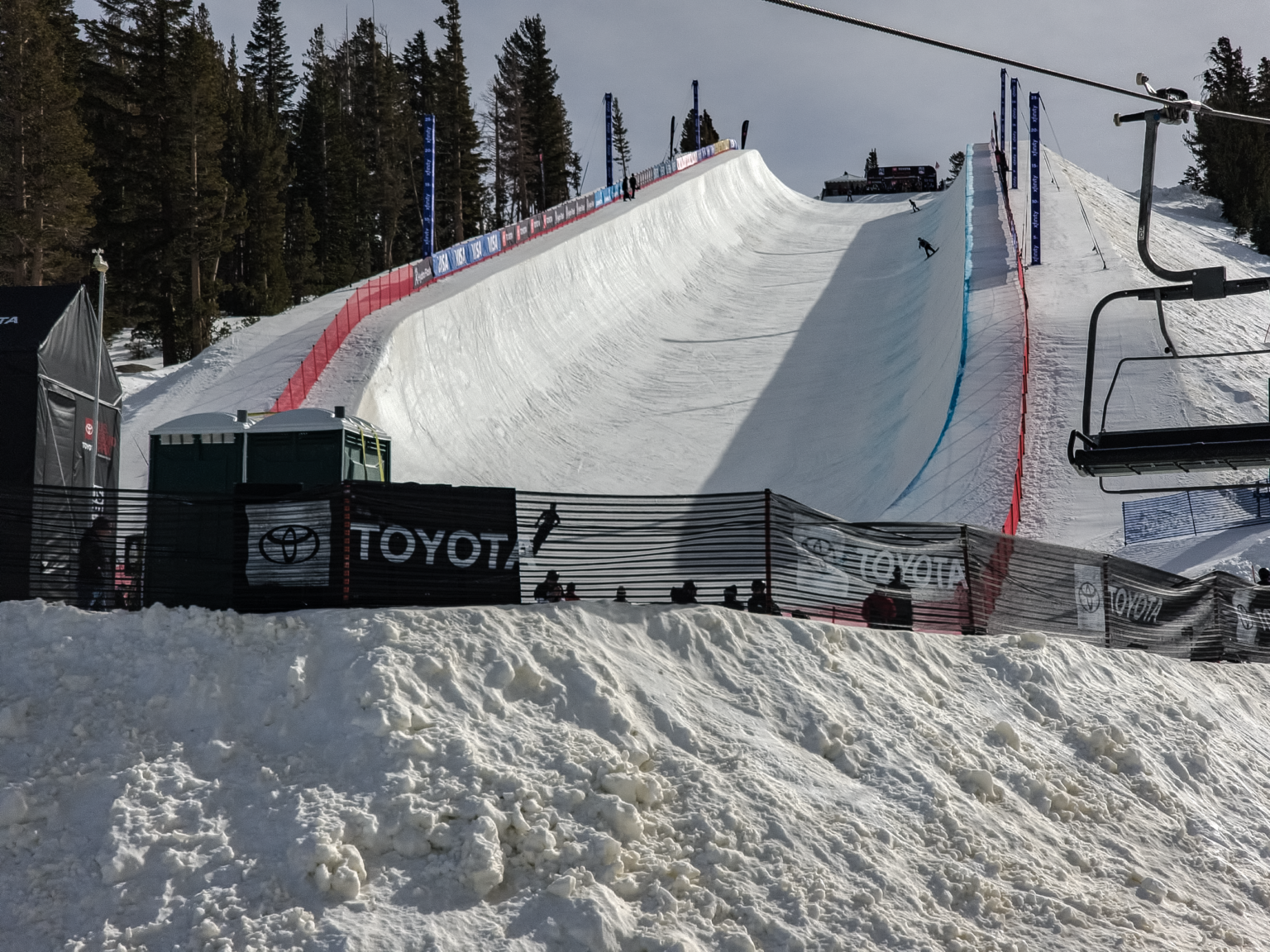
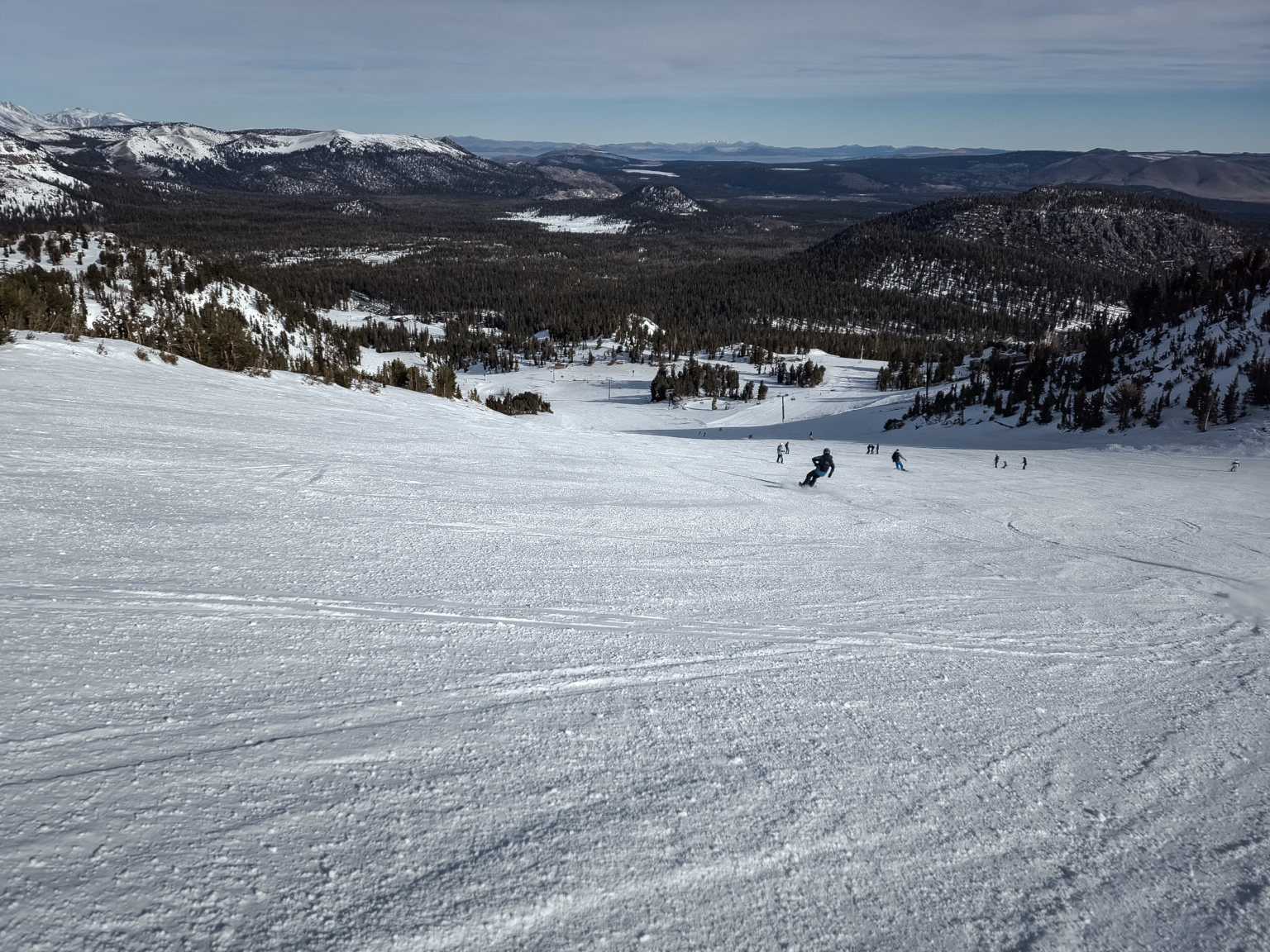
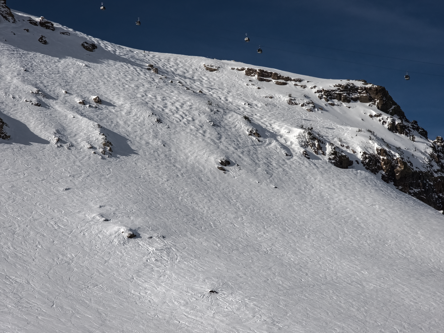
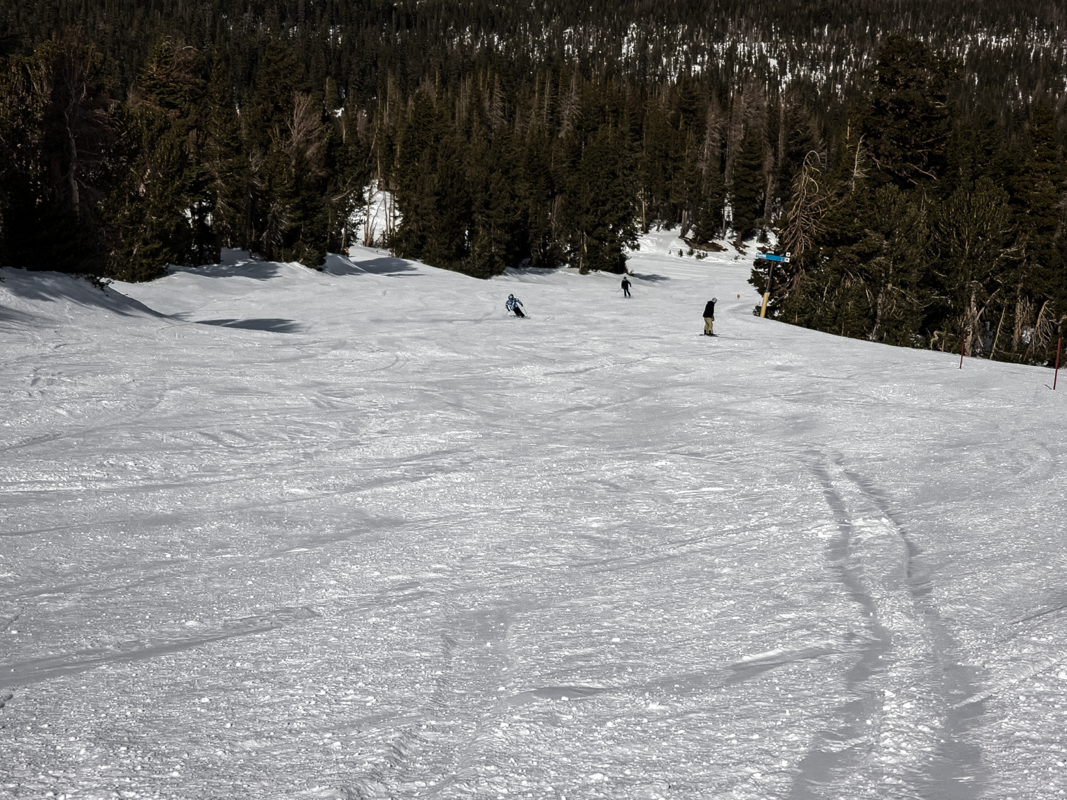
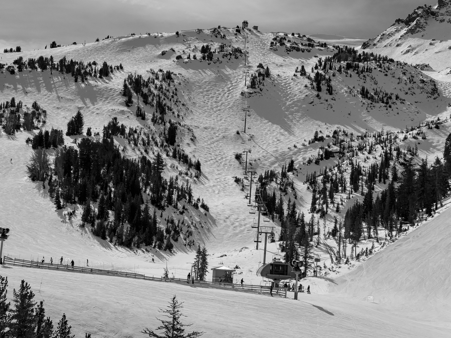
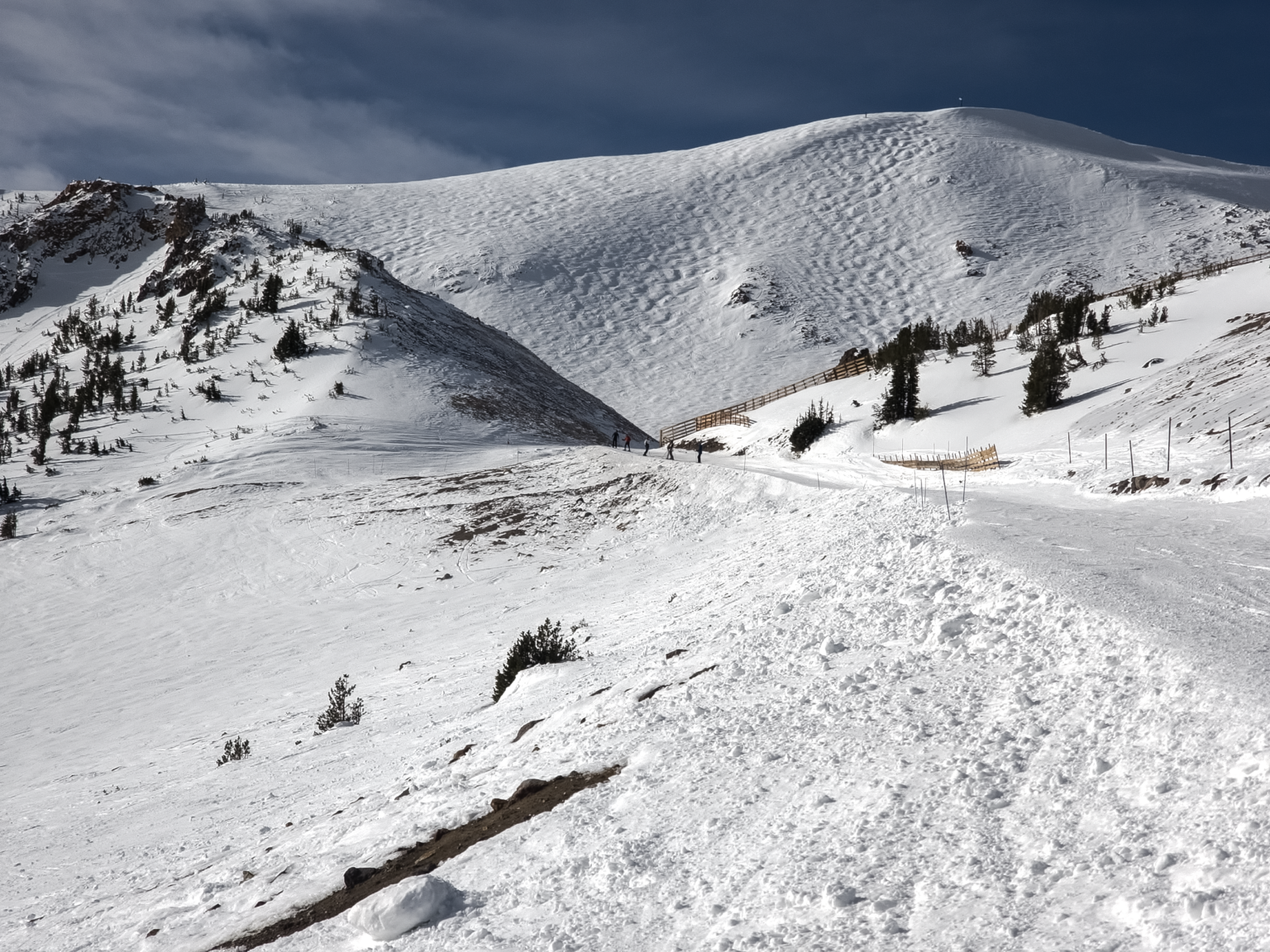
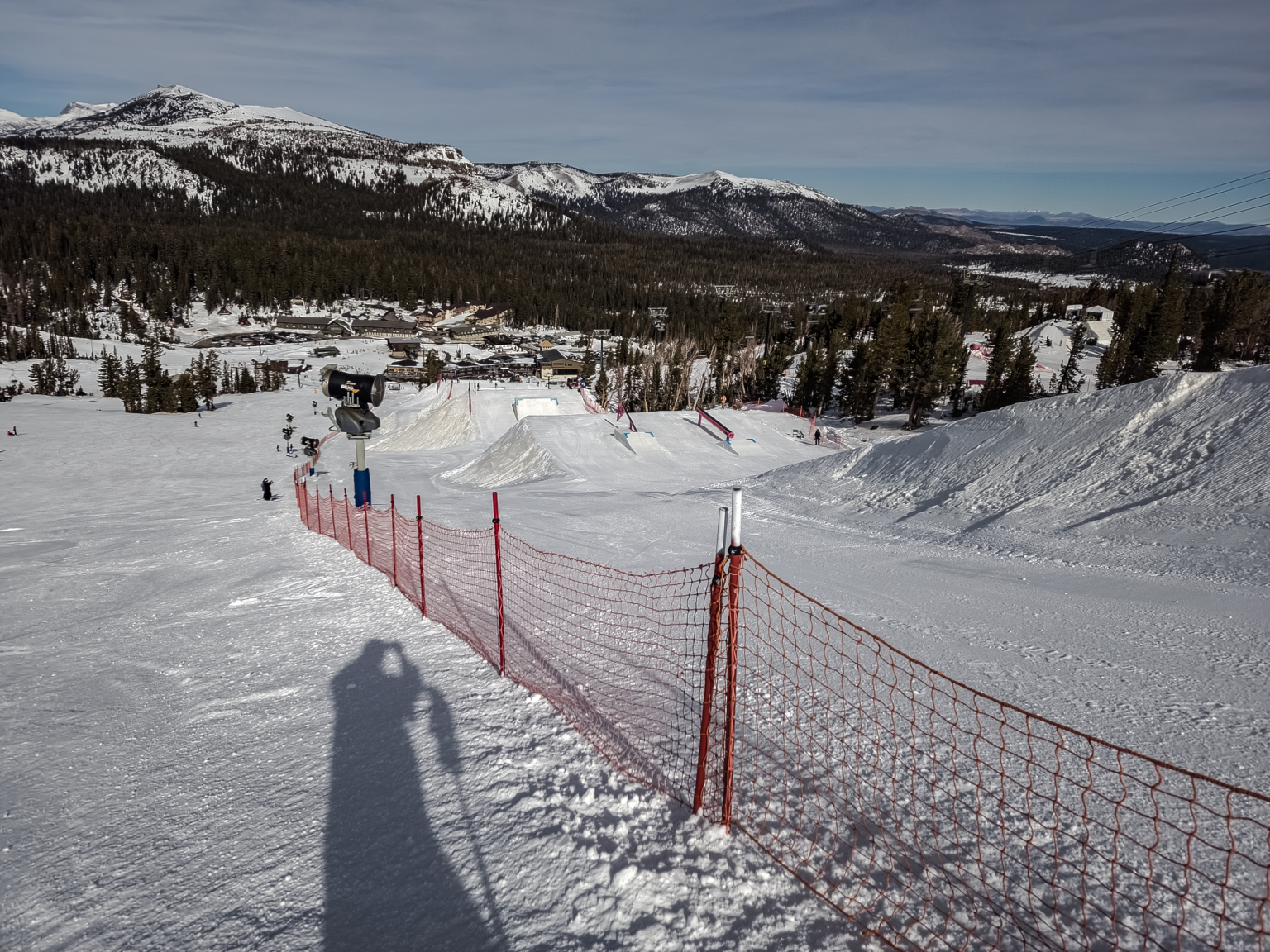
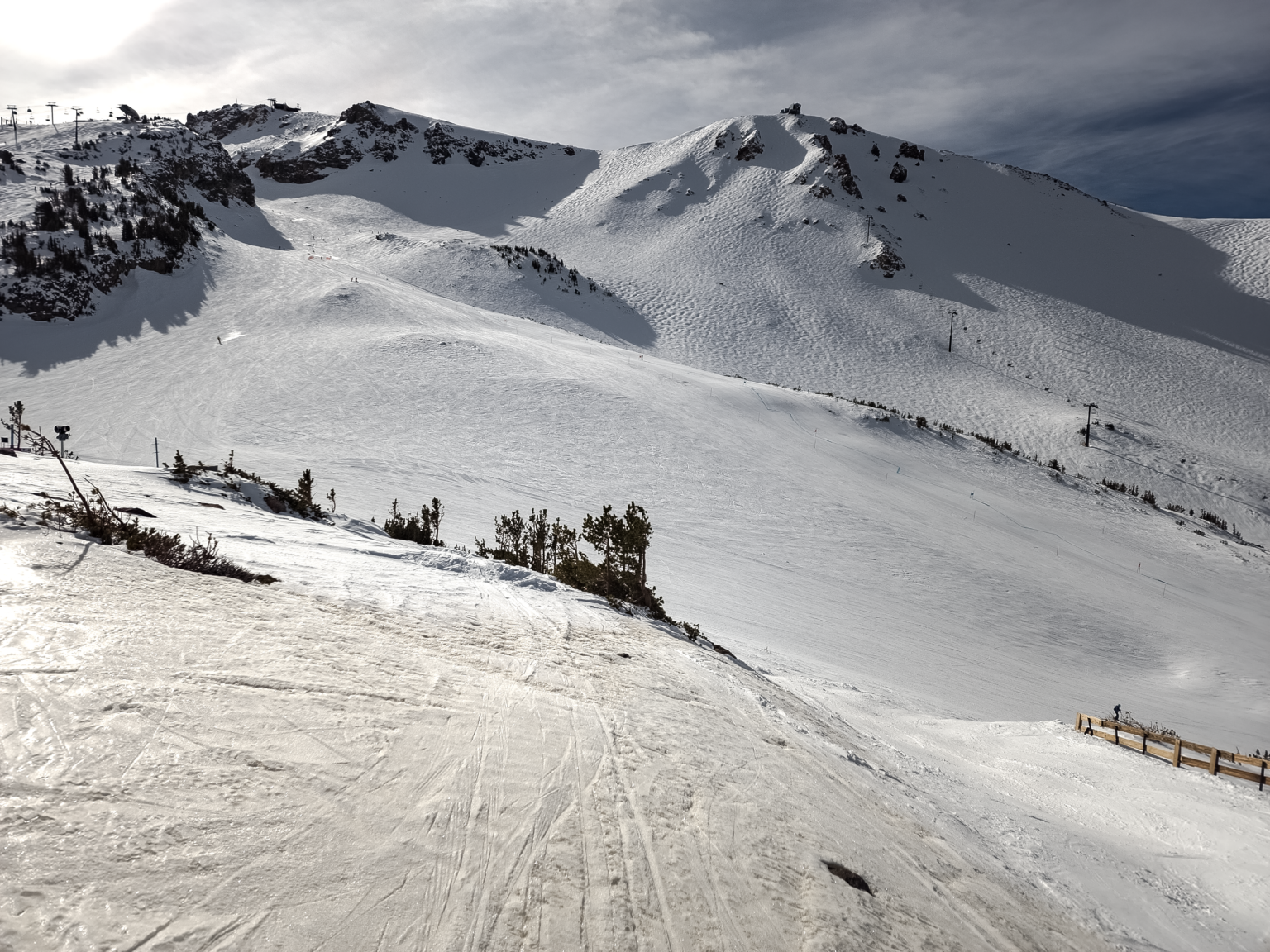
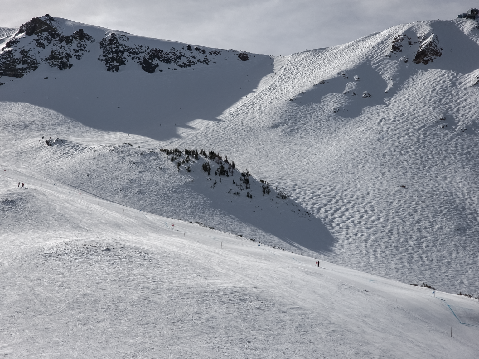
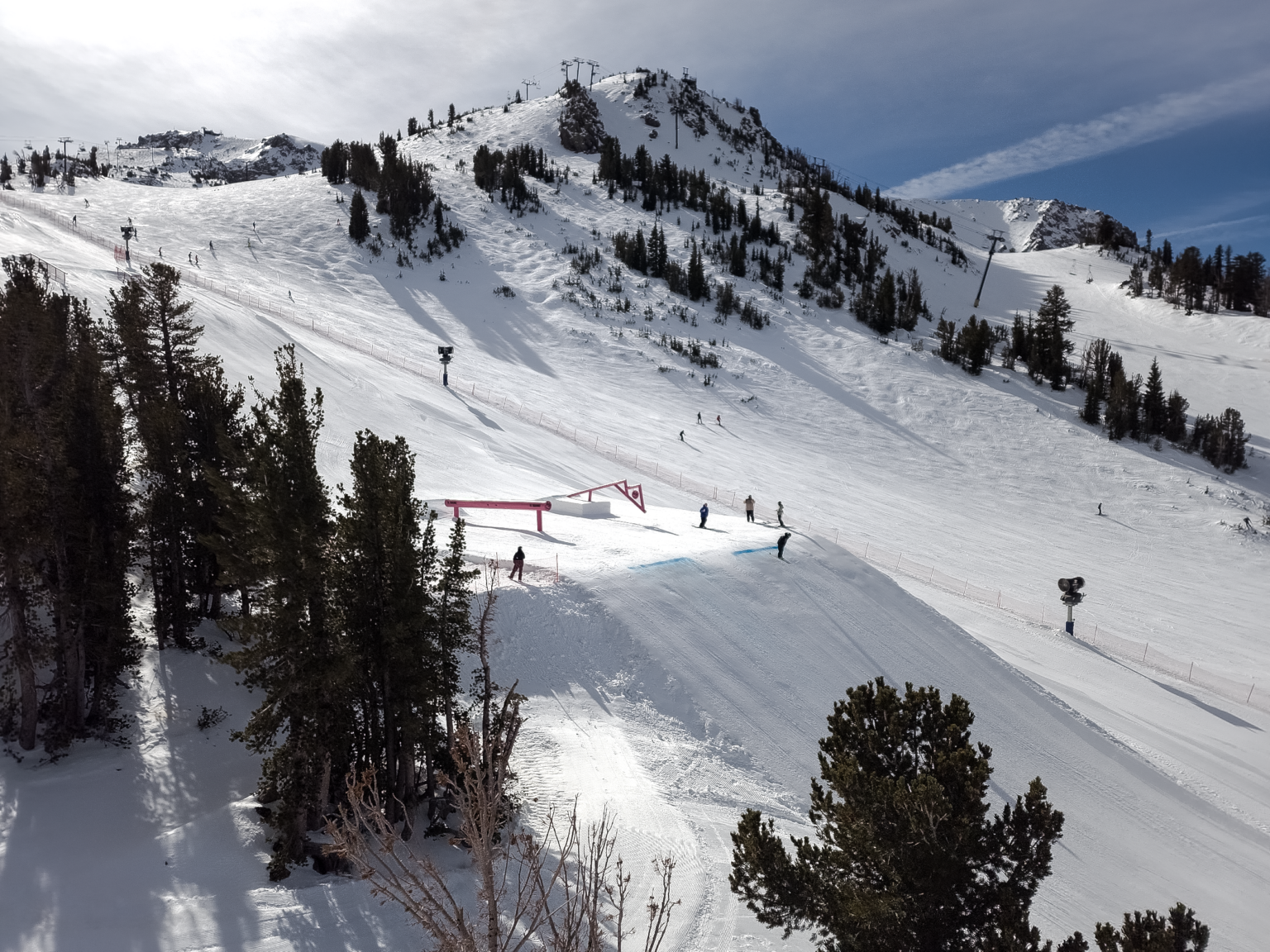
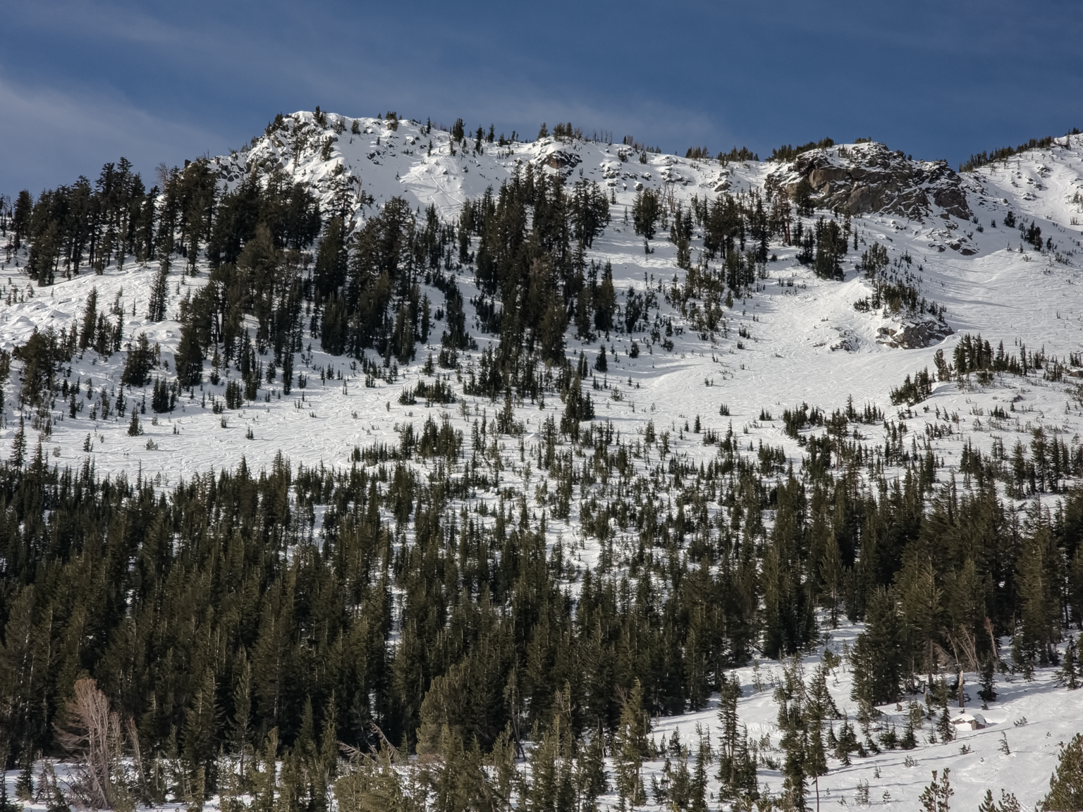
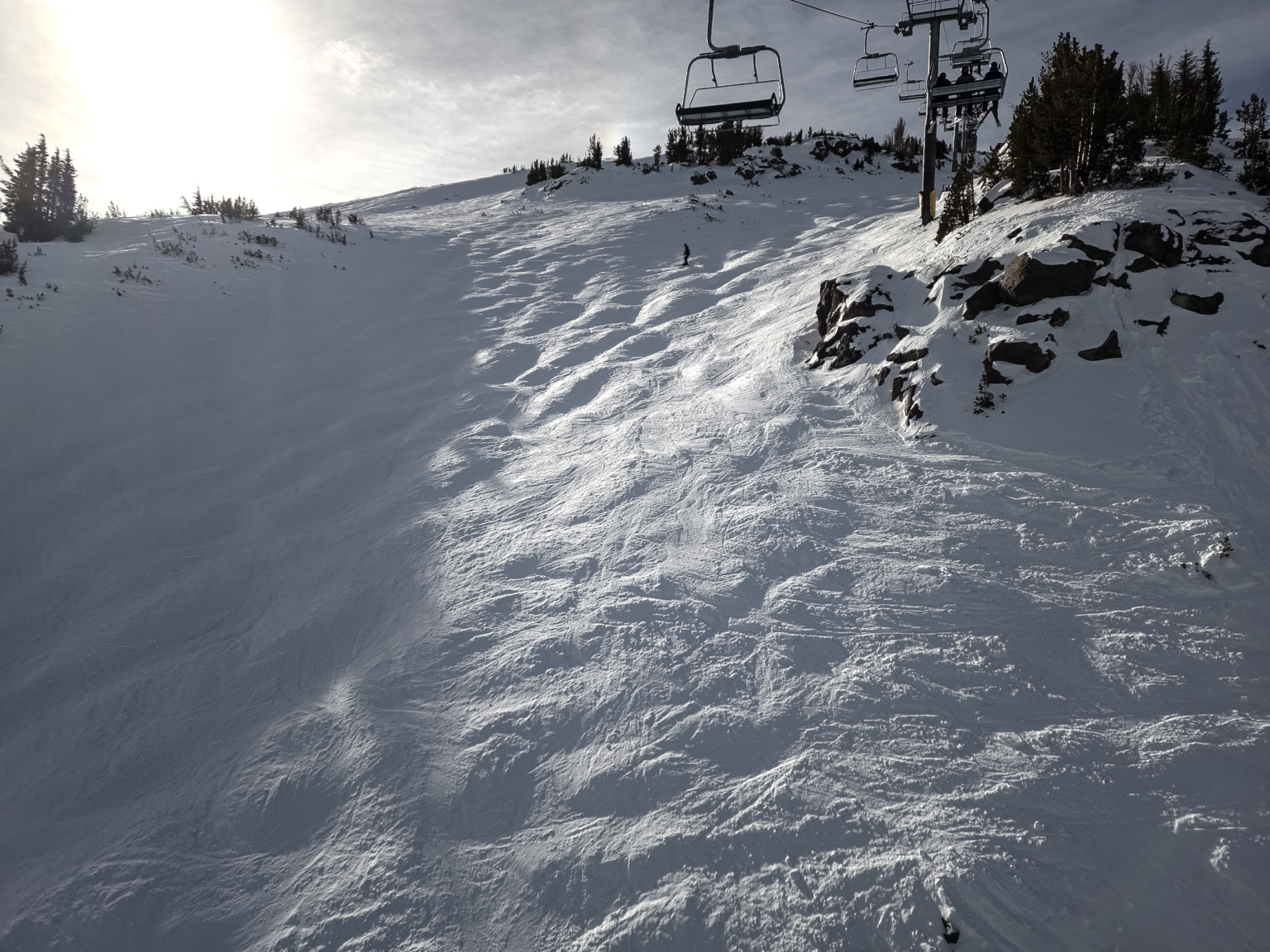
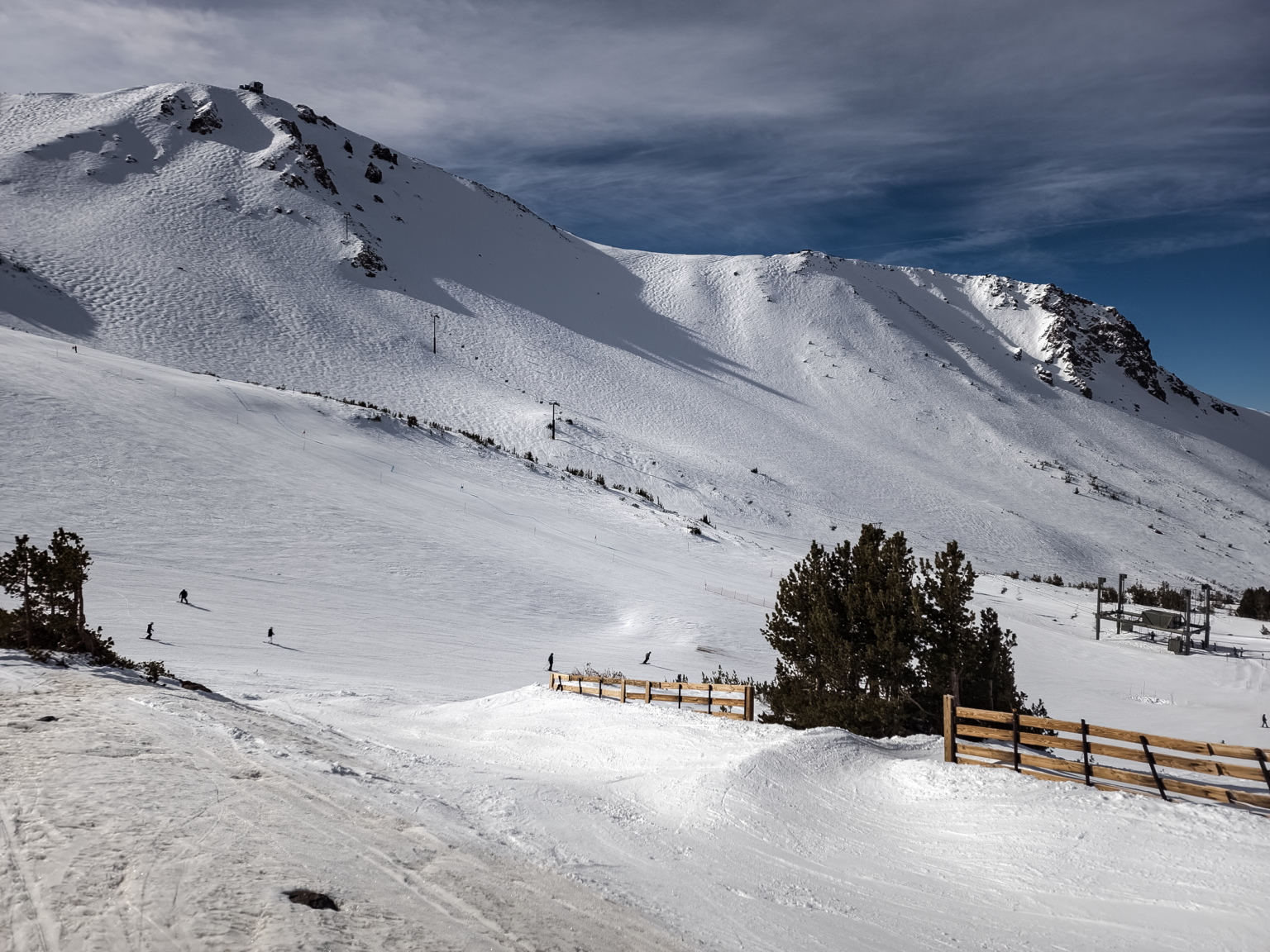
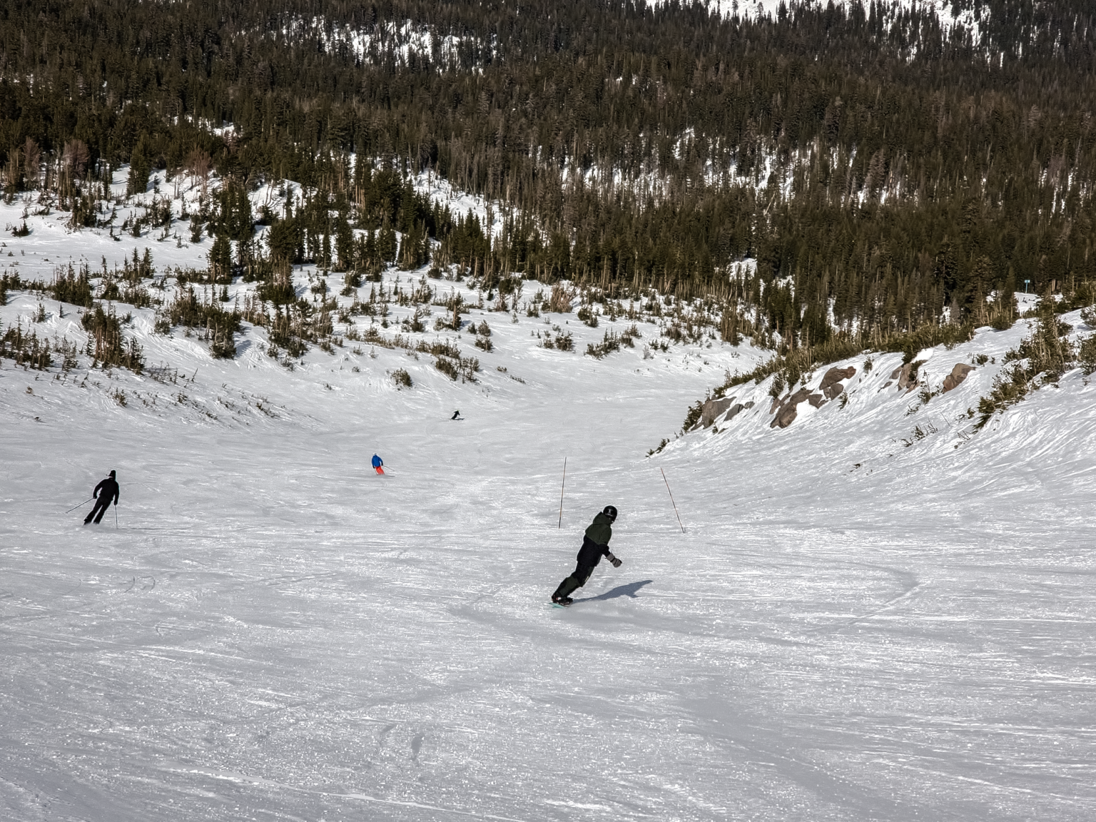
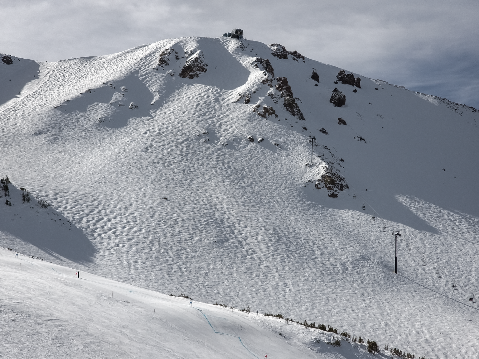
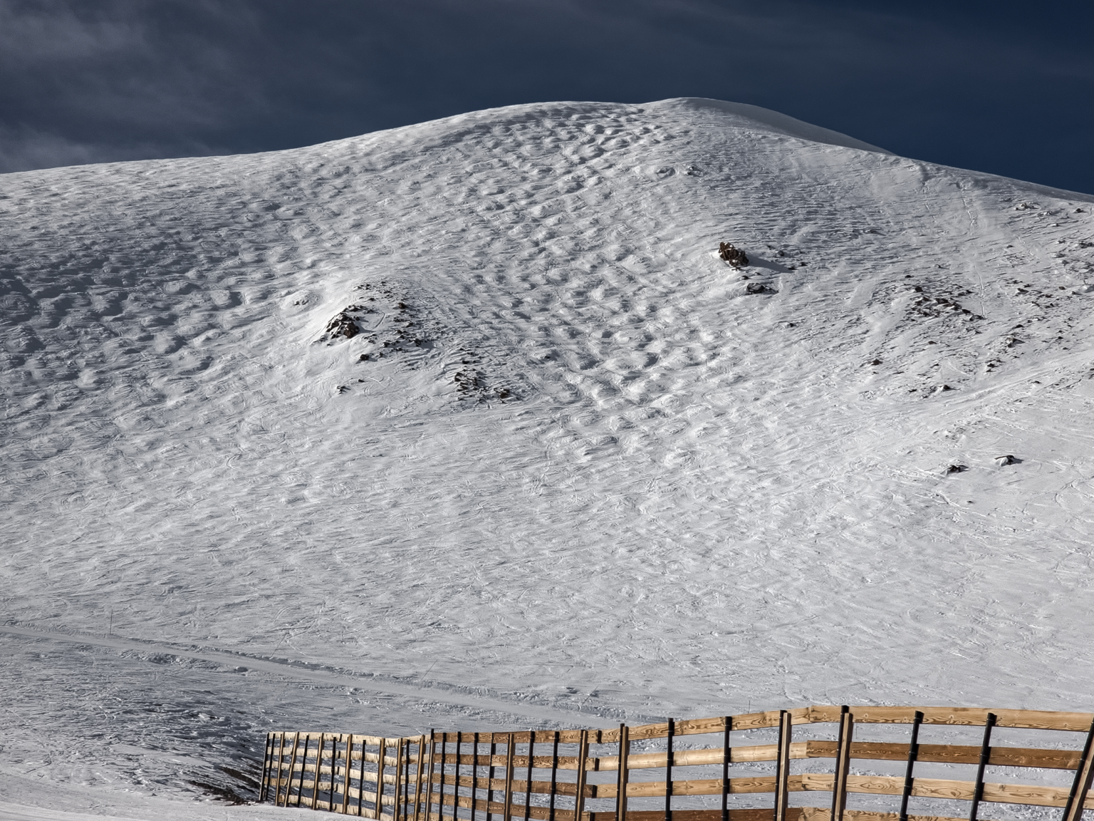
Mammoth Mountain Photos from the Snowman - January 29th, 2024
What’s Up Off the Hill in Mammoth Lakes & The Eastern Sierra?
In Mammoth Lakes and around the Eastern Sierra, it’s looking a lot like winter once you hit the 7500-foot elevation level. Below that, there are patches of snow down to Crowley and Tom Places. From the Sherwin Grade Down to Bishop, there is no snow at this time.
Mammoth Lakes has about a foot of snow on the ground, making it possible for snow play in parts of town. With the snow down in town, the paved trail system is mostly snow-covered now. I have not checked to see if they have blown any sections off yet.
Up in the Mammoth Lakes Basin, the Tamarack Cross Country Ski Area is now Open. The public access path up to Lake Mary is also open for snowshoers who want to go into the Lakes Basin.
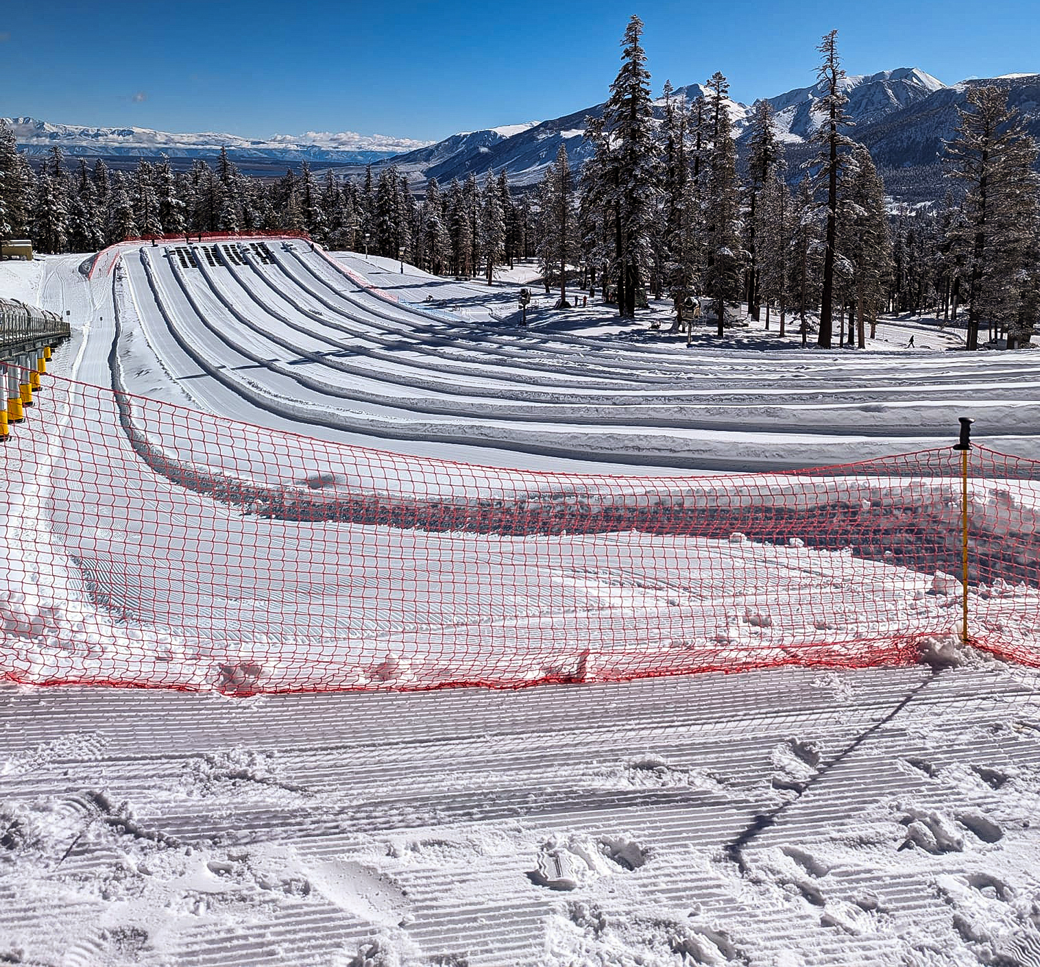
Wolly’s Adventure Summit is open with sledding, snow play, and the new Mountain Roller Coaster that comes down from the top of the old Sledz operation.
Upper Rock Creek Canyon Road is open to the county Snow Park, with the gate locked at that point. With the new snow, now is a great time to snowshoe from the locked gate up the road.
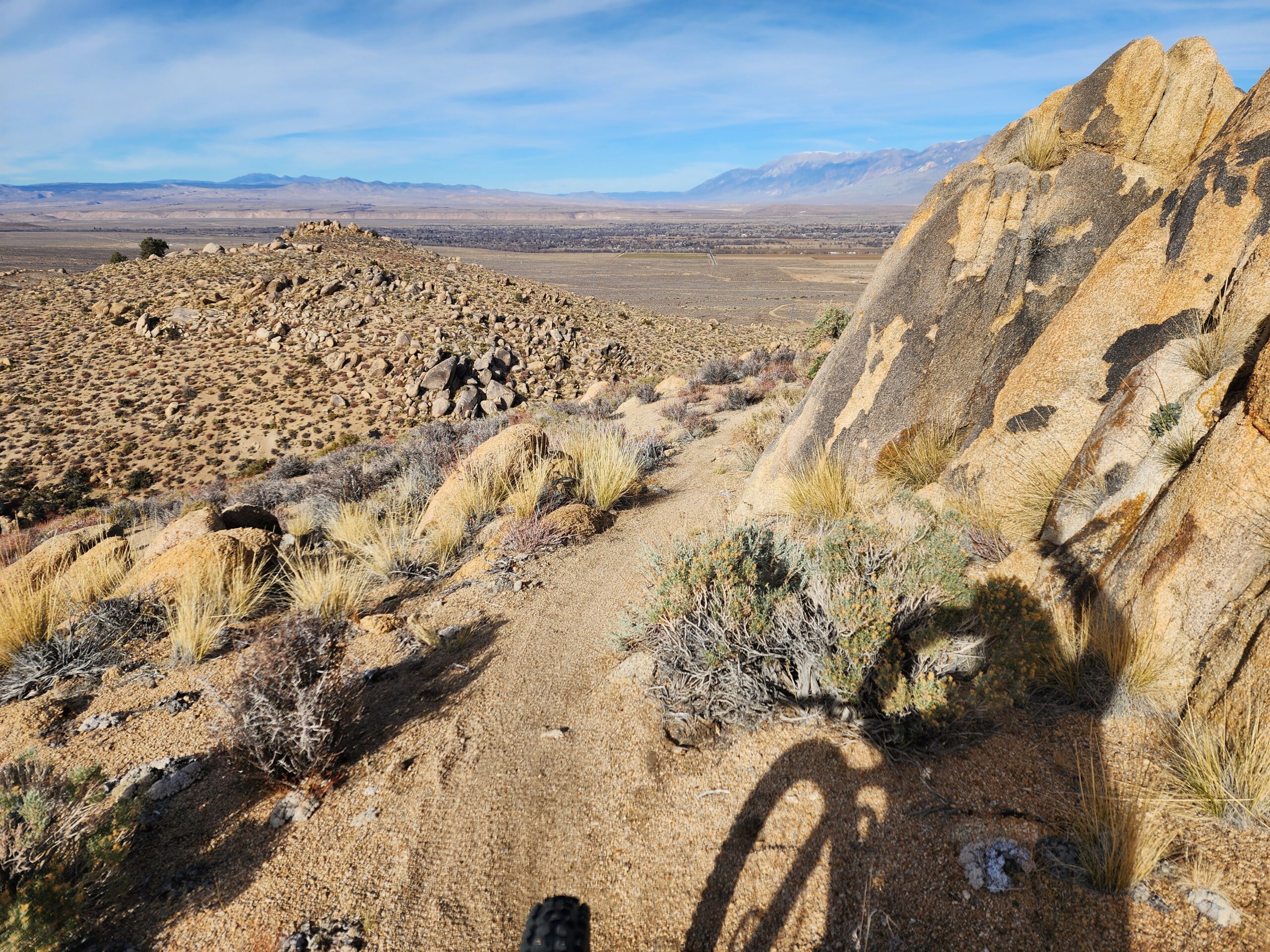
Lower Rock Creek Canyon Trail is snow-free and open for hikers and mountain bikers. The last time I checked, the trail was in great condition. Mountain bikers riding downhill need to slow down and watch for numerous hikers and dogs on the trail.
Check out my entire post on What to Do off the Hill this Week at this link.
 Website Author – Steve Taylor – Mammoth Snowman – Over the last 35+ years, Snowman has spent countless hours studying and learning about Mammoth Mountain Weather and Snow Conditions first hand. He has been skiing around the hill with marked ski poles since March of 1991 so he can measure the fresh snowfall amounts out on the hill.
Snowman started blogging this information back in 1990 on the old Mammoth BBS system, then the RSN Forums and then on to MammothSnowman.com in 2004 with the Video & Photo Blog report. (No YouTube back then). Facebook got added to the fold back in 2008 and then the Facebook Group in 2016.
Reports, videos, and photos from the website have been featured on both local TV Stations here in Mammoth, along with AP, Fox, ABC, CBS, and NBC News. You can learn more about the MammothSnowman.com team here.

