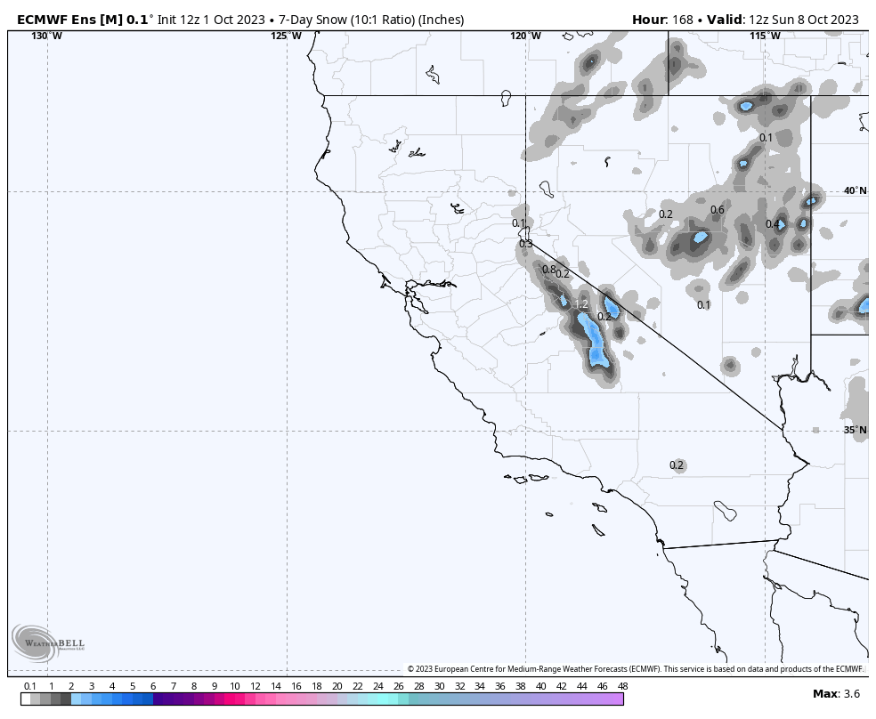
October 1st, 2023 @ 3:24 PM – Seeing snow on the peaks out the office window this morning was lovely. The first dusting fell early Saturday before sunrise, and then on Saturday evening and into the overnight hours, more snow fell from Bishop Creek Canyon up to Mammoth Mountain.
The snowfall never amounted to as much as the data we looked at supported, so it was a bit of a bust. I think that is good news; at this point, most people would rather have another month of hiking and biking without the snow. Mammoth has not even been closed for two months yet from last winter.
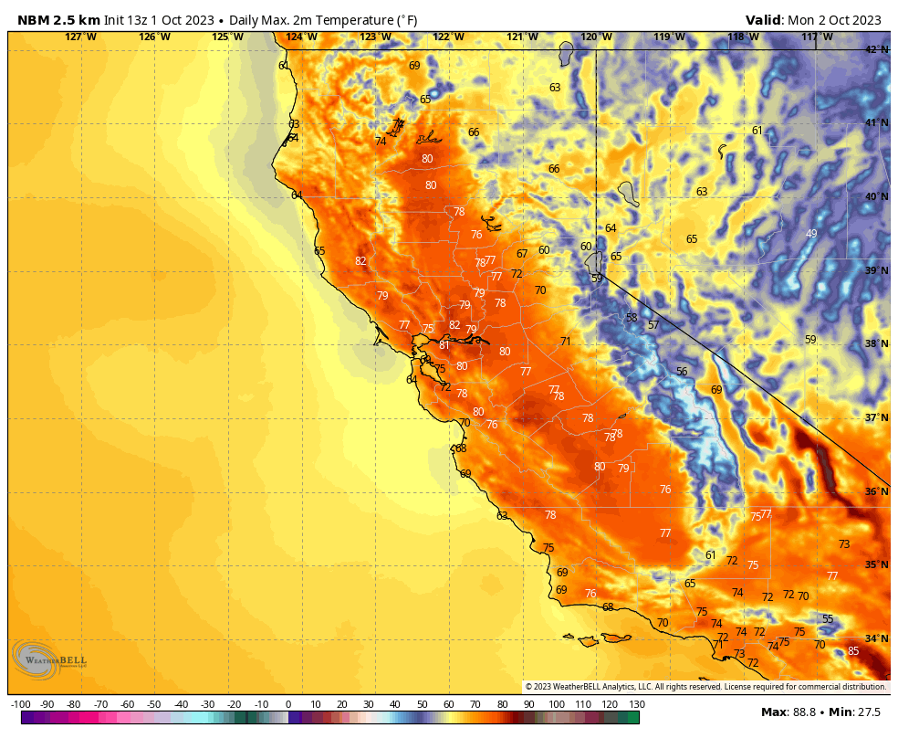
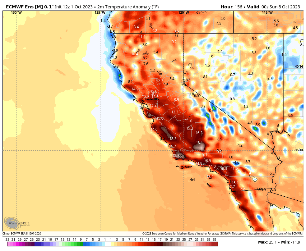
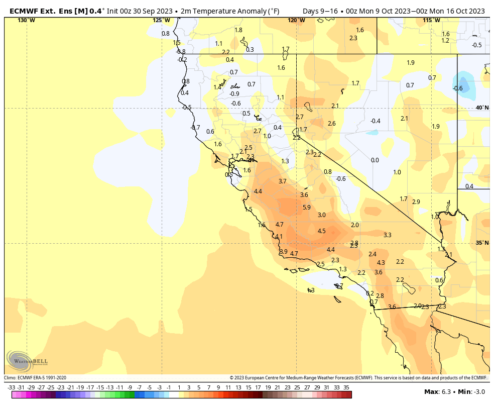
Moving forward, the weather story will be just above average temperatures, with dry conditions expected for the next 2-3 weeks. This week into Friday, expect a slow warming trend with temperatures coming up about 15-20 degrees from the temperatures forecasted for Monday.
The upcoming weekend should be perfect for those coming up to check out the peaking Fall Colors expected in many locations above the 8500-foot level.
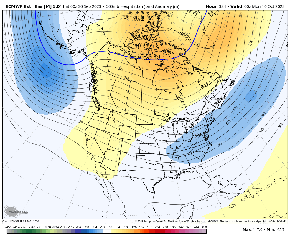
Looking at the more extended range data that is posted down the page, the next change in the weather could be around October 21st; until then, enjoy the Gorgeous October Fall Days.
Snowman

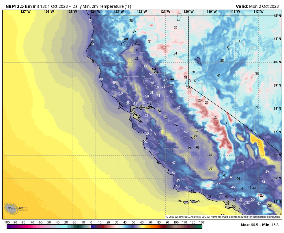
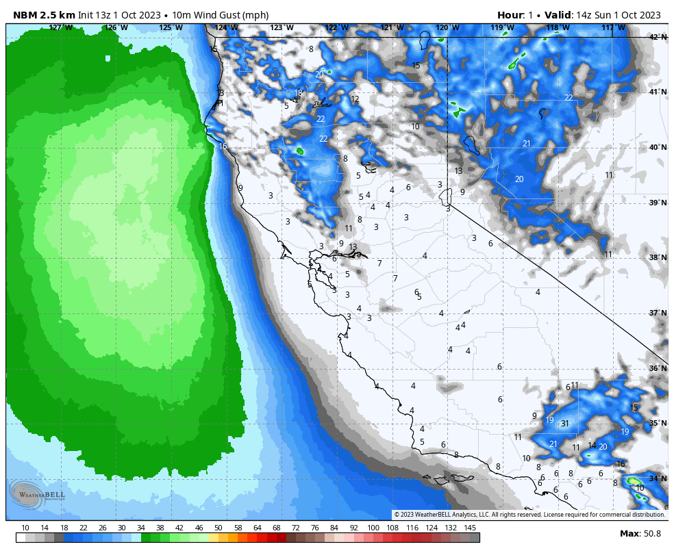
Mammoth Mountain: (at the 8900-foot level) On Monday, temperatures will be in the low 40s, with temperatures rising during the week into the upper 60s by Friday into next weekend. Early morning lows will be in the low to mid-30s Monday AM and then will be into the upper 30s to low 40s by Friday into next weekend. Winds will be in the 5-10 MPH range this week and into next weekend.
Mammoth Lakes: (at the 7900-foot level) On Monday, temperatures will be in the upper 40s, with temperatures rising during the week to near 60 by Friday into next weekend. Early morning lows will be in the low to mid-30s Monday AM and then will be in the upper 30s to low 40s by Friday into next weekend. Winds will be in the 5-10 MPH range this week and into next weekend.
Crowley & Toms Place: (at the 6800-foot level) On Monday, temperatures will be in the low 50s, with temperatures rising during the week to near 68 by Friday into next weekend. Early morning lows will be in the upper 20s to low 30s Monday AM and then will be in the upper 30s by Friday into next weekend. Winds will be in the 5-10 MPH range this week and into next weekend.
Bishop: (at the 4100-foot level) On Monday, temperatures will be in the low 70s, with temperatures rising during the week to near 80 by Friday into next weekend. Early morning lows will be in the upper 30s Monday AM and then will be in the upper 40s by Friday into next weekend. Winds will be in the 5-10 MPH range this week and into next weekend.
Snowman


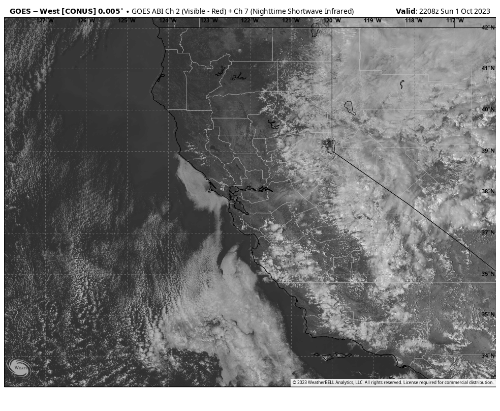
Satellite View
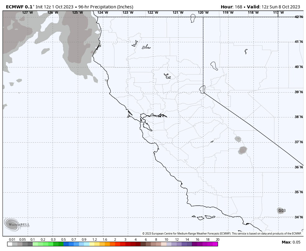
7 Day Accumulated Snowfall Forecast
Temperature Forecast
Wind Forecast
____________________________________


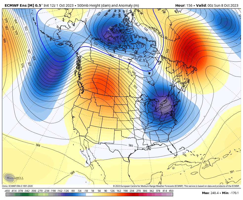
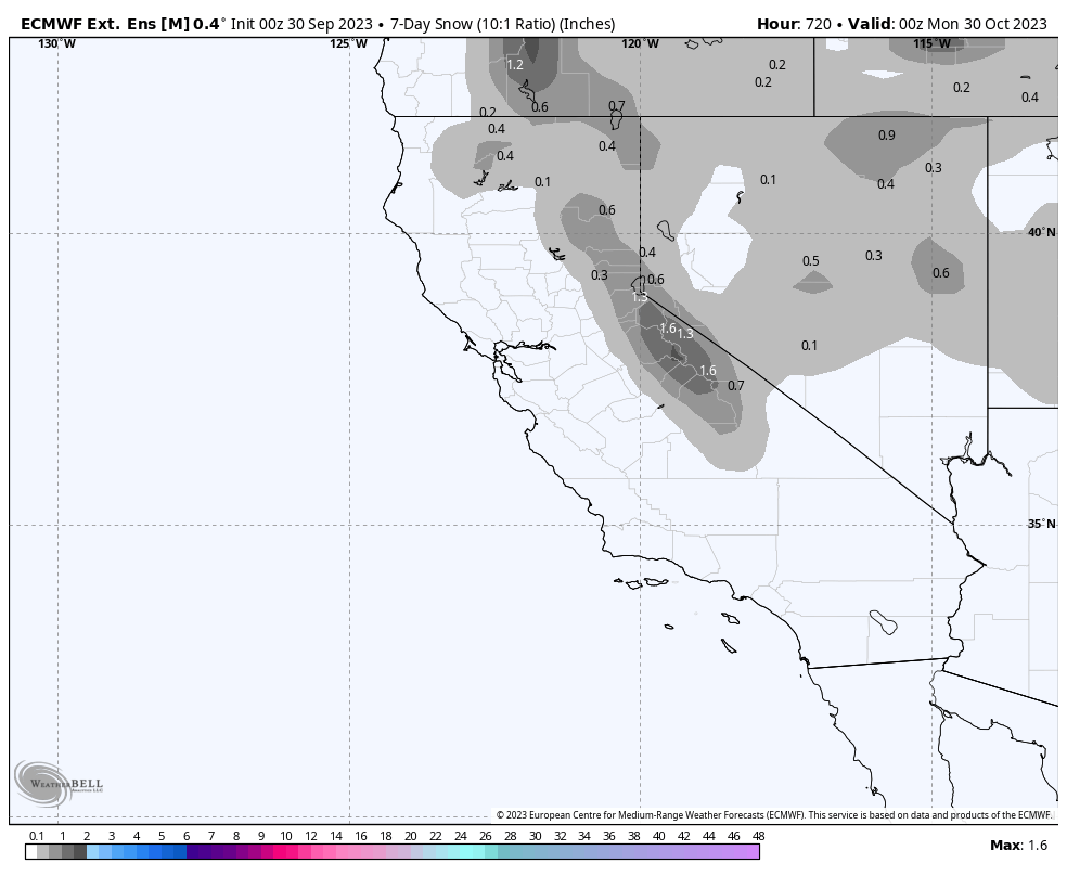
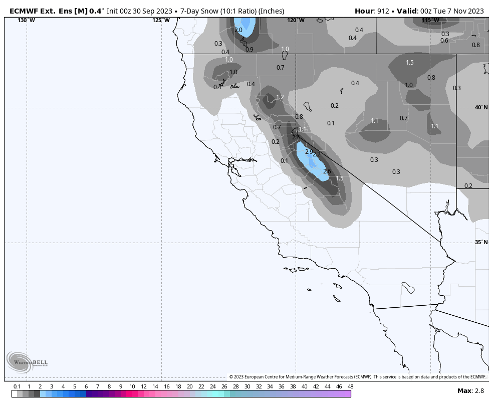
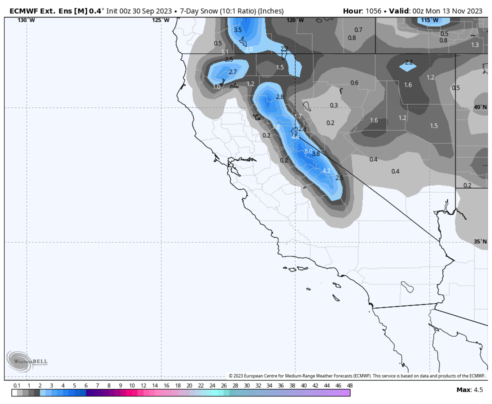
Day 16 – 45 ECMWF Extended Ensemble Mean
 …
…
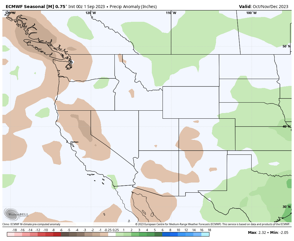
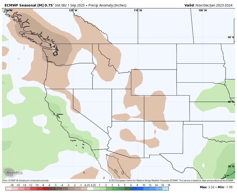
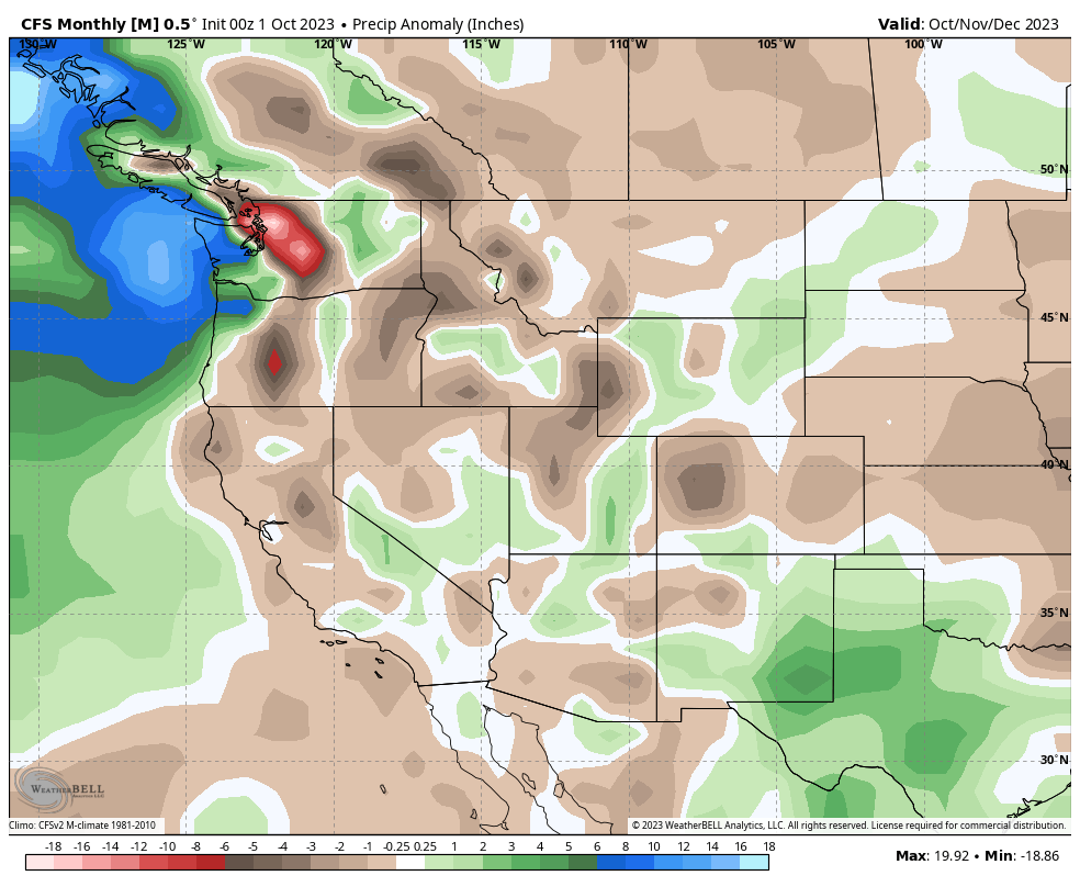
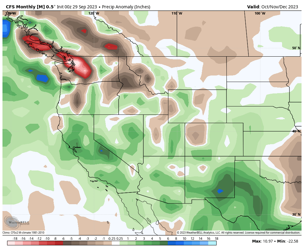
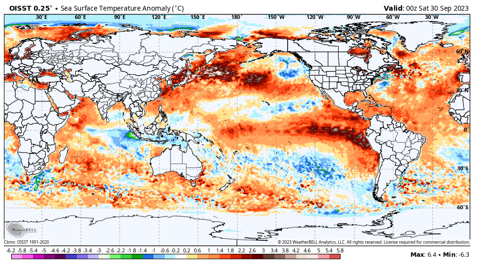
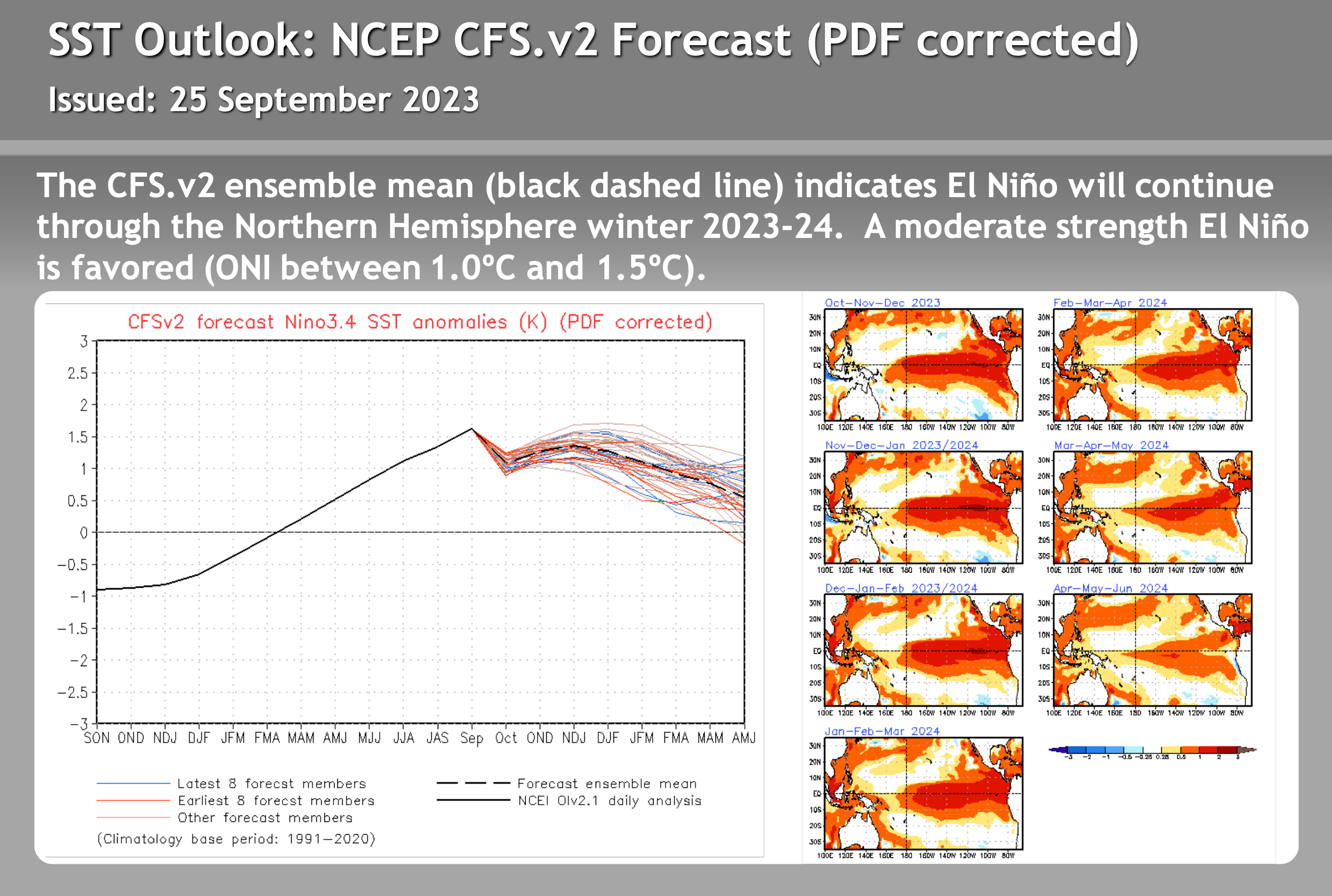
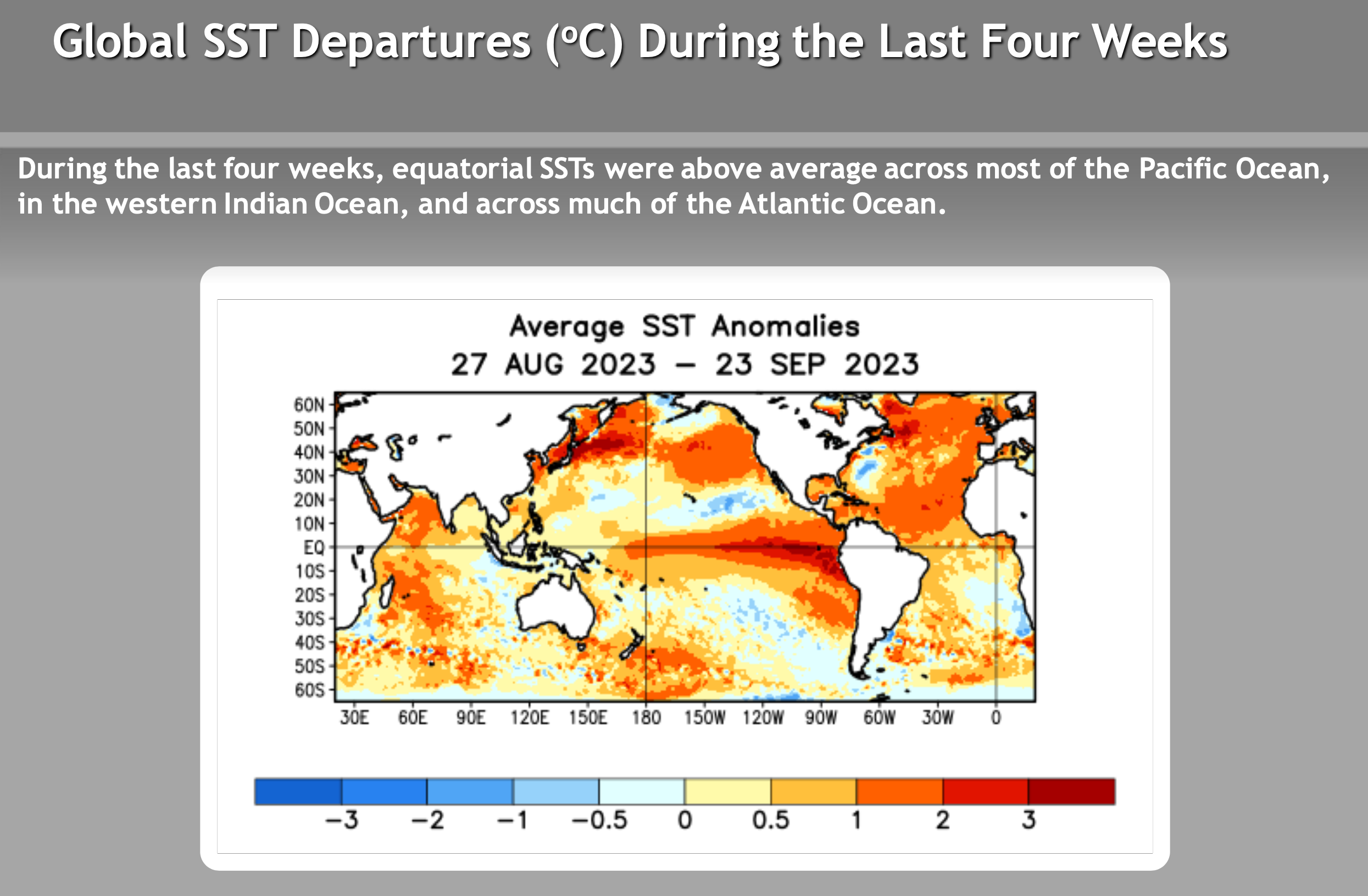
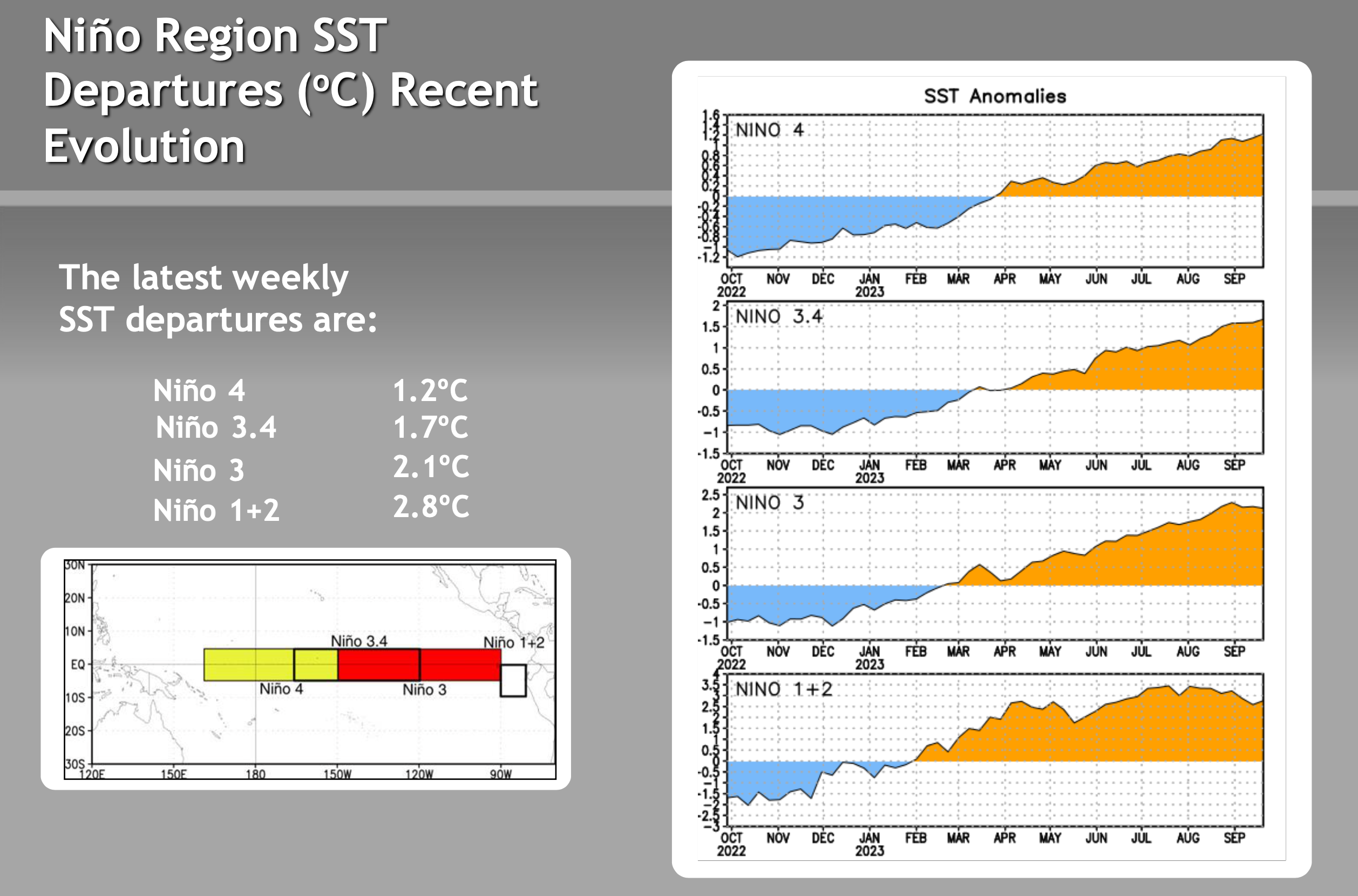
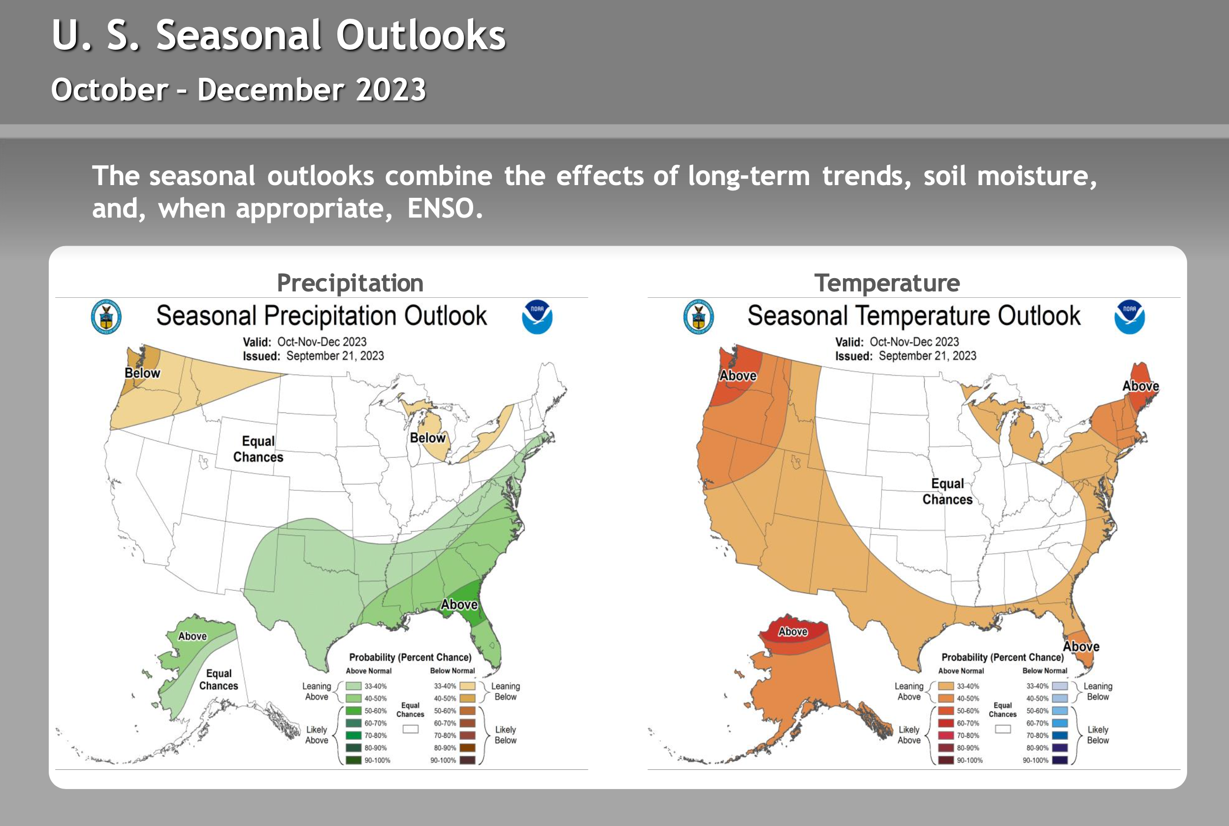
ENSO – El Nino / La Nine Outlook – September 26th, 2023
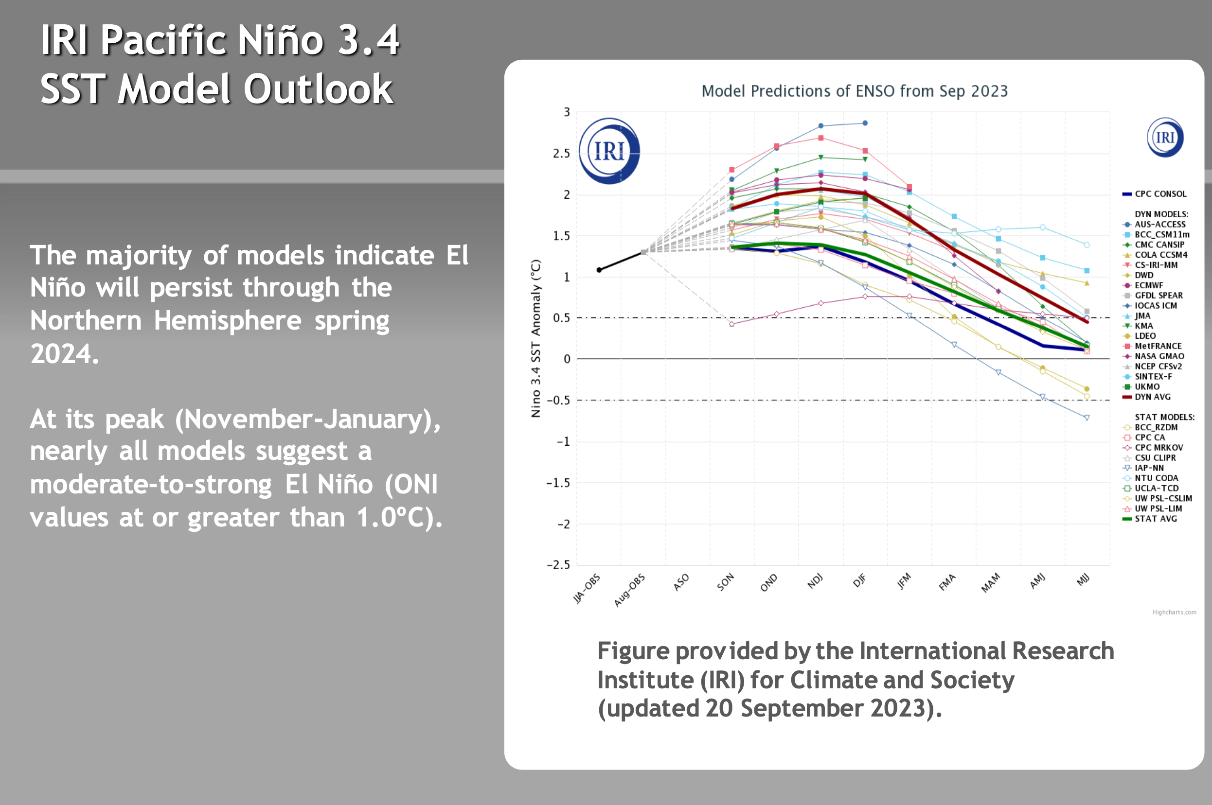
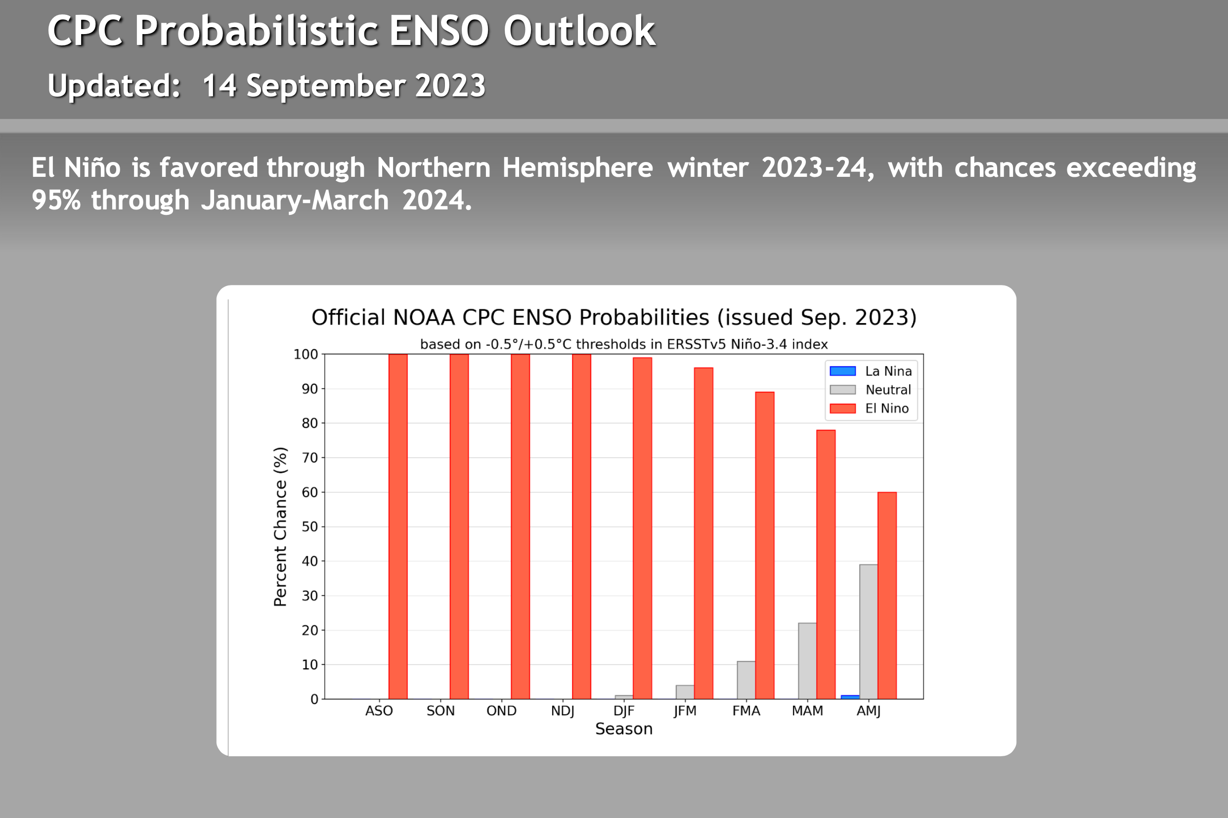
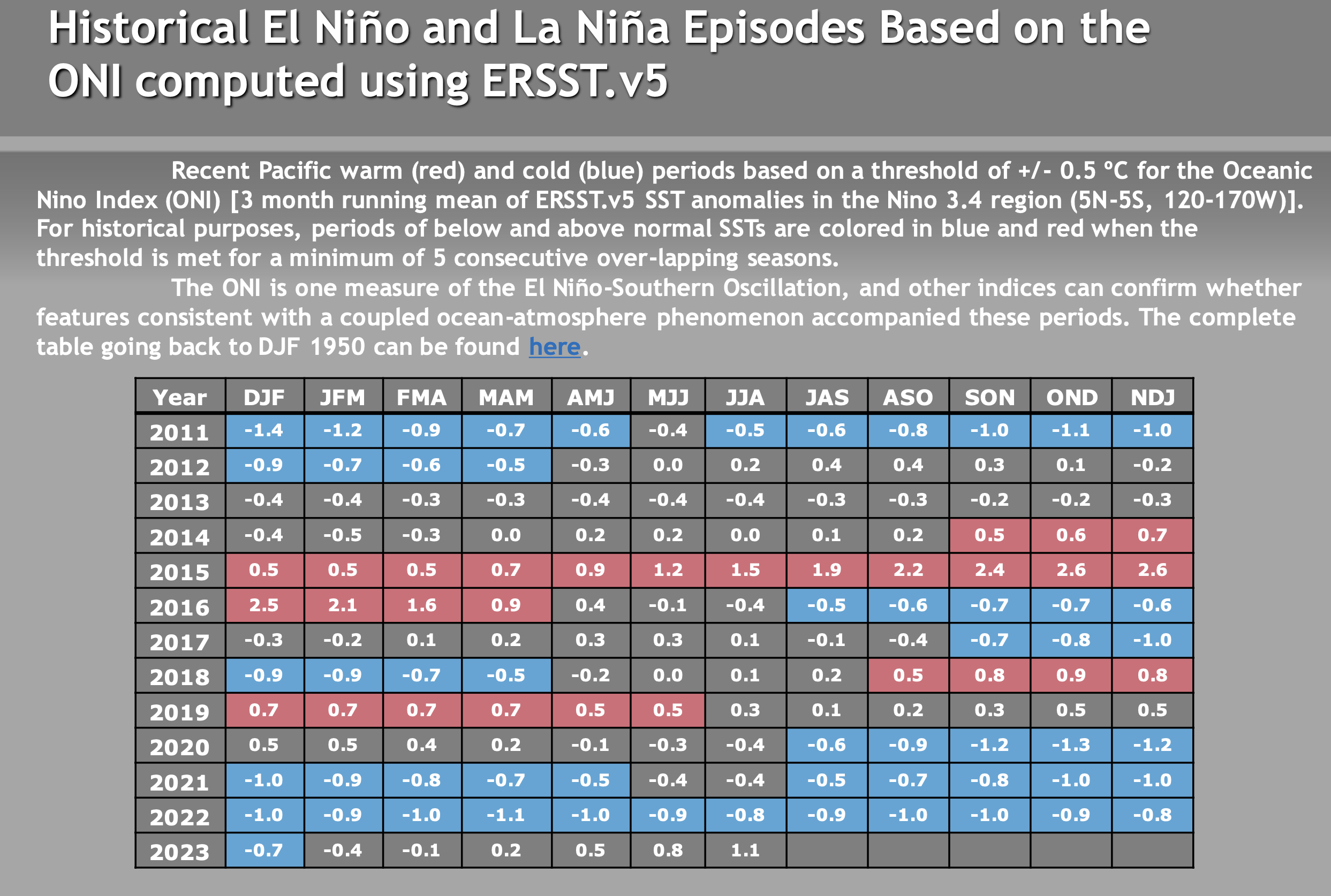
El Niño Update: The current El Nino is in the strong category. How the event affects Mammoth Mountain and the Eastern Sierra this winter is uncertain. There are a lot of variables with this particular El Nino event that have not been seen during other strong events. Take a look at the video below for more information.
There are not a lot of strong El Ninos to look back at, so it’s hard to trust any of the long-range data right now. Past El Niño winters have been slow to start, so don’t be surprised if the Eastern Sierra sees below-average rain and snowfall this Fall.
The video below is new from Mike Discussing the most current El Nino Data. All the images in this section have been updated, with what’s the most recent on there as of 9-26-23.
> To note, El Niño winters can be slow to start, so don’t be surprised if the Eastern Sierra sees below-average rain and snowfall this Fall.