Powder Forecast – Friday, May 3rd, 2024
Ted Schlaepfer CCM —- Mammoth Mountain WeatherGuy
Snowfall forecasts are valid at the Sesame snow course (Main Lodge) for the prior 24 hours, as reported in the 6-7 AM morning snow report.
Next post on Tuesday, 5/7
**Snowfall forecast confidence ranges from very low (1) to very high (5)
Sat 5/4 = 0”
Sun 5/5 = 14 – 18” (H20 = 1.50” – 2.00”) **4
Mon 5/6 = 0 – 1”
Tue 5/7 = 0”
Wed 5/8 = 0”
Thu 5/9 = 0”
Fri 5/10 = 0”
Sat – Mon 5/11 – 5/13 = 0”
April Snowfall: 31”
April Forecast = 31”
Detailed 4-day Snowfall Forecast
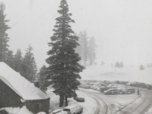
Sat 5/4– Dry during the morning, then snowfall develops around midday or early afternoon and becomes heavy during the evening before mostly ending overnight. Very windy. Accumulations 14 – 18” at Main, 20”+ up top by Sunday AM.
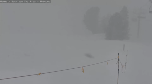
Sun 5/5—There is a chance of lingering snow showers or flurries during the day, ending in the evening. Little or no accumulation is expected.
Mon 5/6 and Tue 5/7 – No snowfall expected on both days.
Forecast Summary:
Short Term (Days 1 – 4):
The current infrared satellite image (below) shows high pressure over the state and a developing spring storm system moving southward toward CA out of the Gulf of Alaska.

The storm system will move into NorCal early tomorrow (image below) and then through the state by Sunday morning (two images below). The upper-level low is intense for early May and more reminiscent of late winter as a strong mid and upper level jet stream backs it.

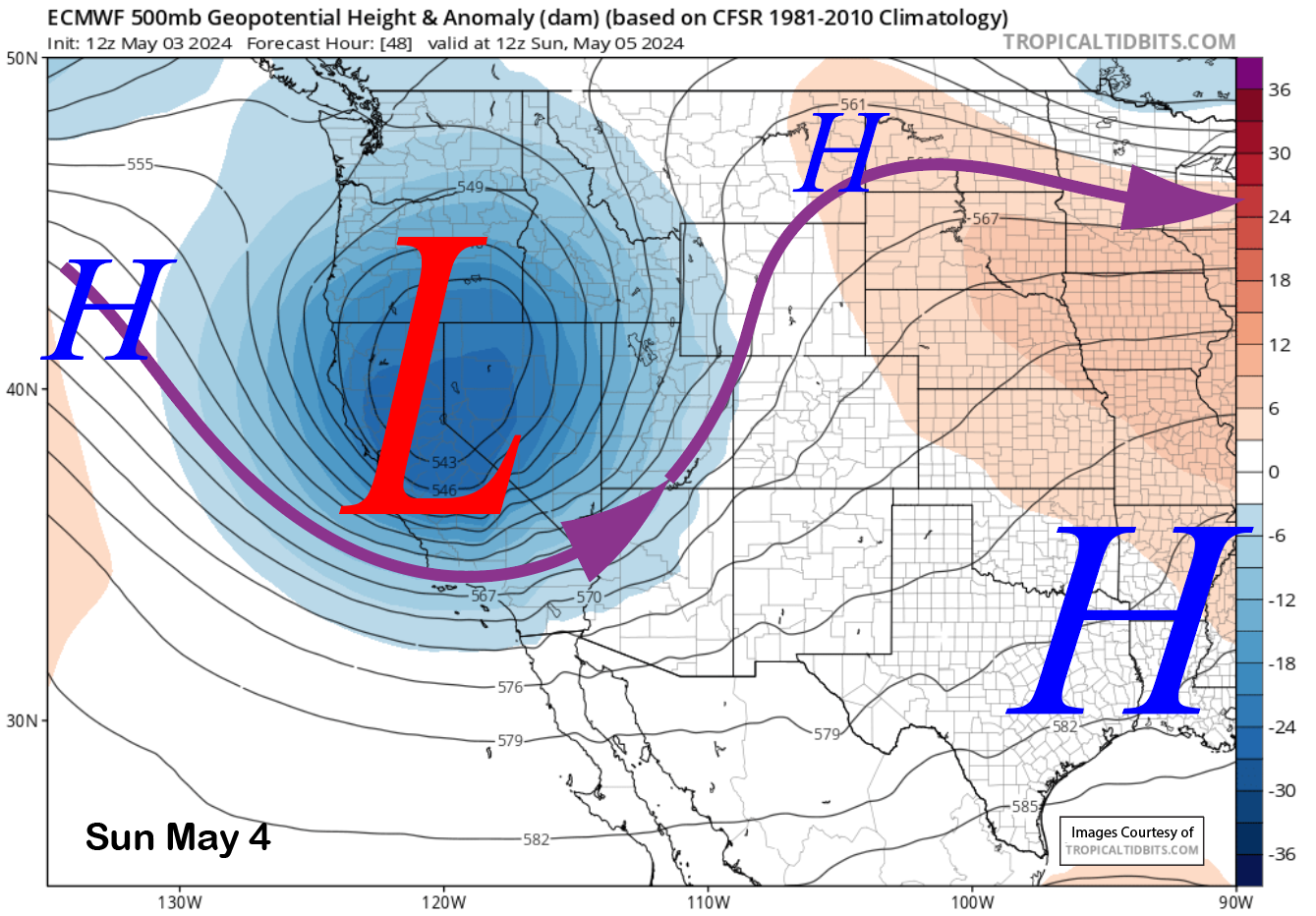
A robust cold front will move into the Mammoth area tomorrow afternoon, bringing heavy snow during the evening and strong winds for most of the day. Snow should start around midday and end mostly after midnight. Snow levels will start out around 7K and then lower to around 5-6K by the evening when the heavy snow occurs. Snow levels will drop to near 4K Sunday morning as temperatures at McCoy drop to around 10 F.
Model QPF has increased since the last post, with all models favoring over an inch of liquid and the wetter ones in the 1.5-2.0” range, like the GFS (image below). The ECM (two images below) is also now showing about 1.5” liquid, as is the NBM (three images below). Only the Canadian model is showing less at around 1” (four images below), but it does have 2” west of the Sierra crest.


The forecast calls for at least a foot at Main and probably closer to 15”+, with the top possibly seeing around 20”. The strong winds will be an issue with drifting and fracturing the snow crystals, and those factors could lead to smaller amounts. Regardless, there will be enough snow for powder turns on Sunday morning. The winds on Saturday PM will likely be too strong for the lifts to remain open and storm riding.
Sunday will remain a winter-like day with just a chance for light snow showers or flurries during the day. Monday will be a dry day with a weather system moving east of CA on Tuesday (image below) that will keep temperatures from warming up too fast and keeping the top in winter conditions.

Long Range (Days 5+):
The longer-range guidance favors a shift back to normal spring conditions by the end of next week and suggests spring conditions will continue for the foreseeable future. No more late-season spring storms are on the radar.
The GFS ensemble shows a weak ridging pattern (image below) off the West Coast and a weak long wave trough across the SouthWest extending eastward into the country’s middle. That would mean typical spring conditions and temperatures.

The fantasy range guidance is favoring the development of a baggy trough across interior CA around mid-month (image below). That would mean a deep marine layer for the coastal inhabitants, but just more typical spring weather and temperatures for Mammoth. There are no signs of a spring heat wave either.

Overall, there is a chance that this weekend will be lathe st call for powder turns at Mammoth for the 2023-24 season. And it should be a pretty good one, too, even by winter standards. WG