

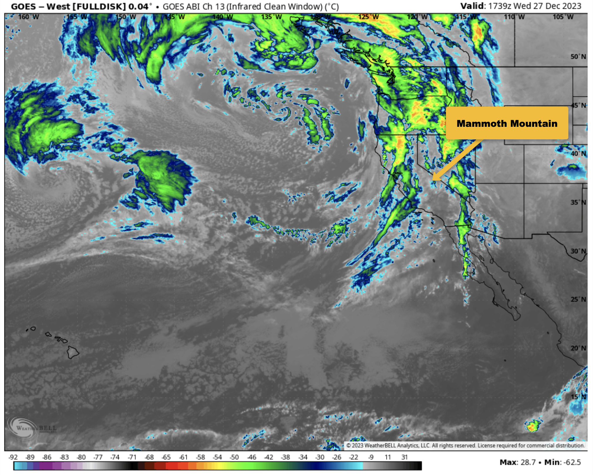
December 27th, 2023 @ 9:42 AM – Lots of high clouds in the area today from a weak cold front that will bring a chance for a dusting of snow tonight.
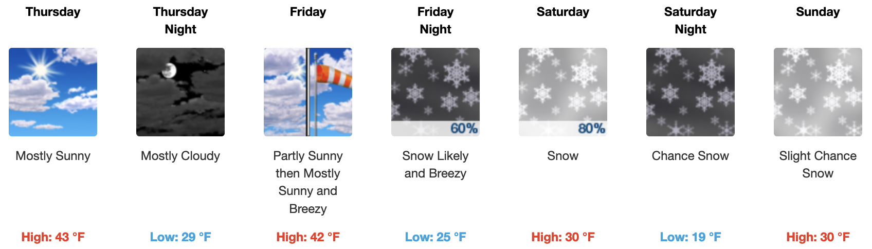
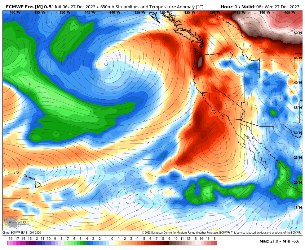
Thursday and Friday will be pt cloudy with higher heights and short wave ridging in the area. By Saturday into Sunday, the next weak front will move through, bringing the next chance for a dusting to several inches of snowfall.
If you’re going to be on the hill the next few days, expect pt cloudy skies with temperatures in the upper 30s to lower 40s around the Main Lodge. Morning lows look to be in the upper 20s to lower 30s over the next five days.
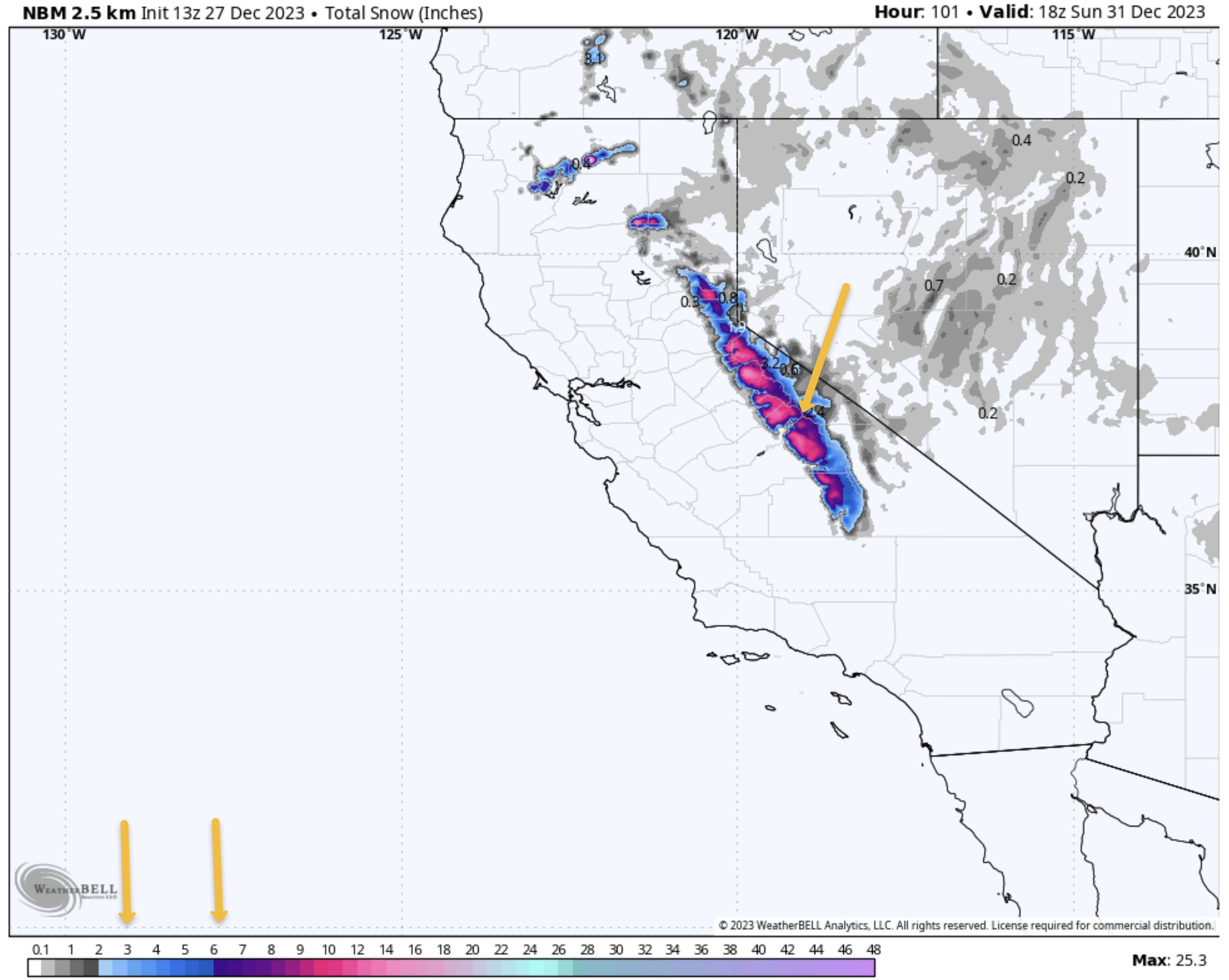
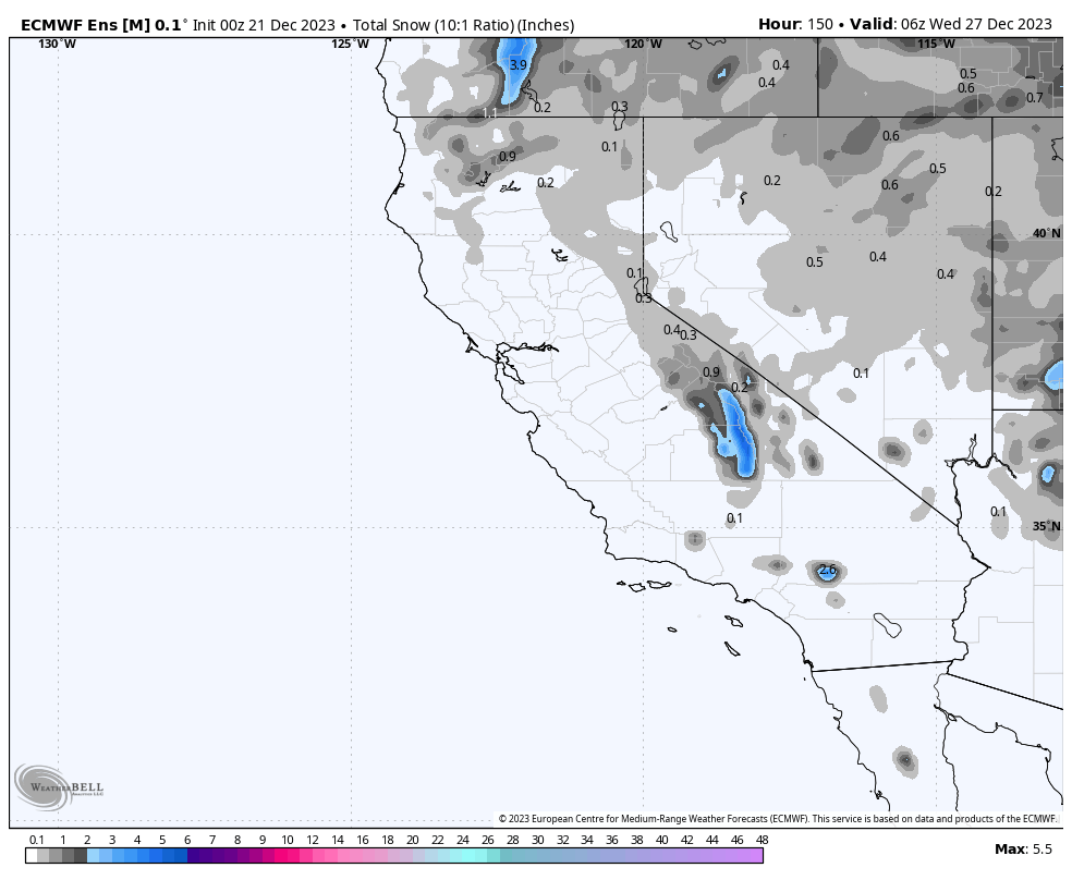
Cloudy skies with light snowfall at times are possible on Saturday into early Sunday with a dusting to 1 inch of snow possible.
Winds on the Mountain will be a bit breezy on the mid and upper mountain, with a southwest wind of 20 to 25 mph, with gusts as high as 35-45 mph at times.


** Weather Disclaimer: The Fantasy Outlooks are “Outlooks, Not Forecasts.” Some years, the wet patterns that appear in these longer-range outlooks pan out; other times, the changes are always out in the fantasy period and never make it to the short-term forecast period. When all the ensemble models have agreement on wet or dry patterns, more often than not, they do seem to pan out more often than not.
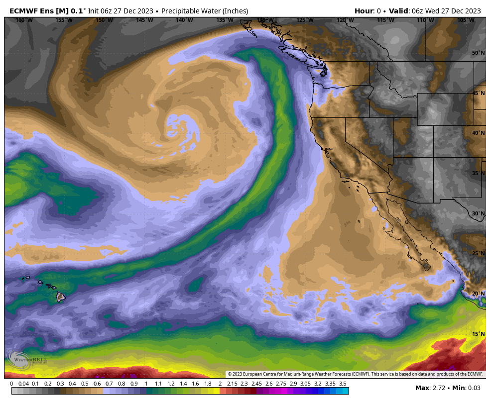
12-27-2023 @ 9:20 AM – Looking at the longer-range data the last few days, I still don’t see any significant pattern changes or one-hit miracle base storms in the offering over the next two weeks and beyond.
Over the last few months, we’ve discussed a possible back-ended winter starting around the Christmas holiday. Models should be showing the signs of that starting change now. However, You still won’t find a strong southern El Niño Jet developing into California on long-range ensemble models.
So, where in the world do we find any weather hope for some base snow at this point?
Longer-range models bring several chances for possible moderate snowfall over the next month. The ECMWF Weekly Mean, our preferred ensemble model, has several feet of snowfall over the next 30-day period.
Putting all the hype aside, the reality is we are now in a low-tide season. I have lived through many of these, and during almost all of them, at some point, we get a decent storm or storm cycle that lays down some decent base.
If you look at the closing days over the years, there is only one season that the Mountain closed in mid-May. During all the other low snowfall years, the Mountain still got enough snowfall to allow for skiing and riding until Memorial Day and often beyond.
While we wait for snow, Mammoth Mountain has done a great job with the 1-2 feet of natural snow that has fallen by supplementing with snowmaking. My advice is if you need to make some turns, get some of your old gear tuned up, then get out there. Ensure to keep in ski or ride shape for when the natural snowfall does appear.
Staying Forever Hope full for a big dump base snow and wind buff on Mammoth Mountain, Snowman.
______________________________________________________________________
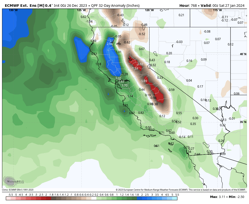
Below is the ECMWF Ensemble Mean going out 32 days.

32-Day Snowfall Chart from the ECMWF Ensemble Mean

Below is the GEFS Ensemble Mean going out 32 days
32-Day Snowfall Chart from the GEFS Ensemble Mean

The ECMWF Weekly Ensemble mean has the entire Sierra Range below-average precipitation for the next 30 days. That sure is a scary thought. Hopefully, there will be a flip in the long-range pattern soon.


Author – Steve Taylor – The Mammoth Snowman – Over the last 30+ years, Snowman has spent countless hours studying and learning about Mammoth Mountain Weather and Snow Conditions first hand. He has been skiing around the hill with marked ski poles since March of 1991 so he can measure the fresh snowfall amounts out on the hill.
Snowman started blogging this information back in 1990 on the old Mammoth BBS system, then the RSN Forums and then on to MammothSnowman.com in 2004 with Video & Photo Blog reports. (No YouTube back then). Facebook got added to the fold back in 2008 and then the Facebook Group in 2016.
Reports, videos, and photos from the website have been featured on both local TV Stations here in Mammoth and Bishop, along with KTLA, AP, Fox, ABC, CBS, and NBC News.
Click Here to Learn More About the People Who Make MammothSnowman.com a Reality


