
Mammoth Mountain Weather Forecast & Discussion
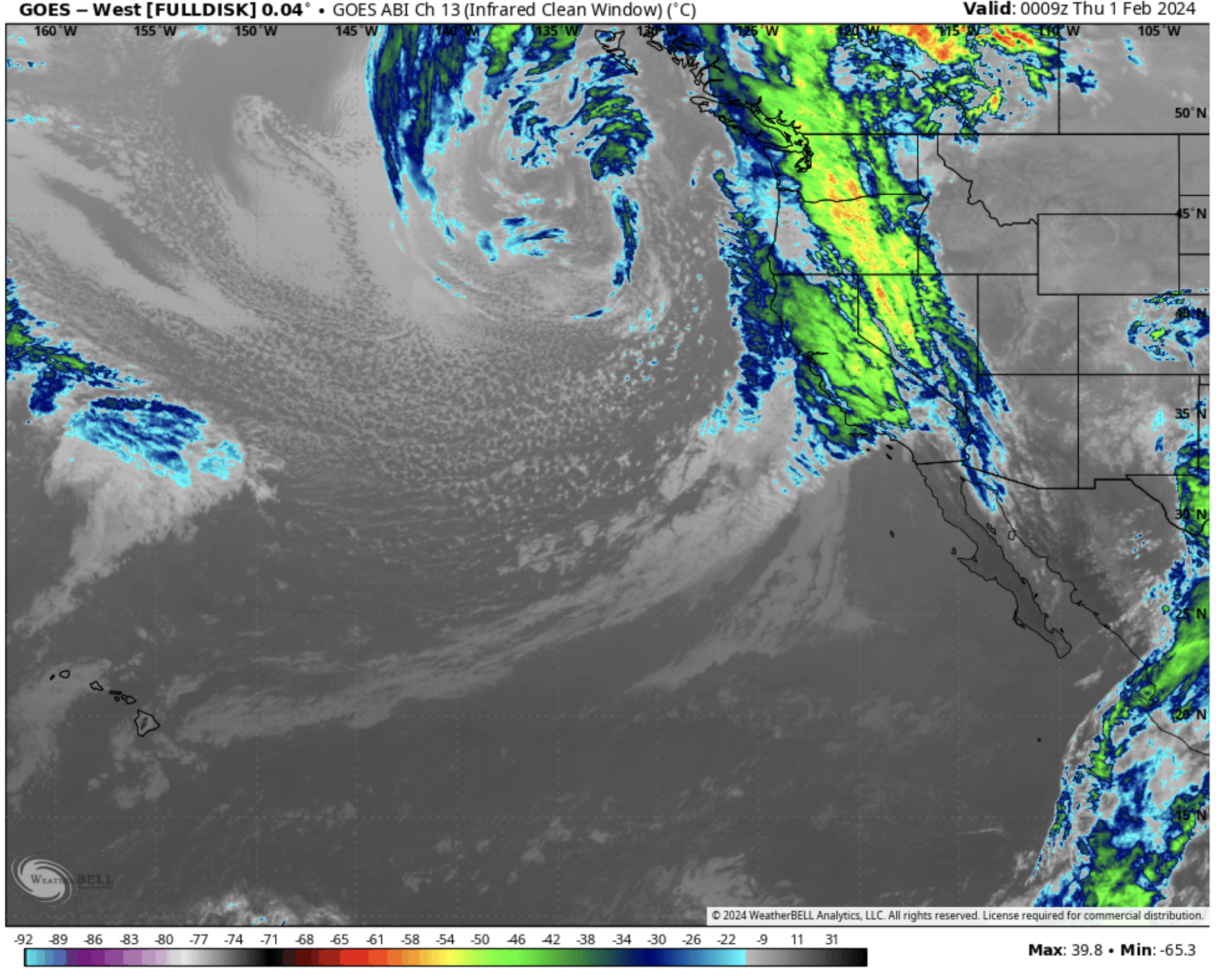
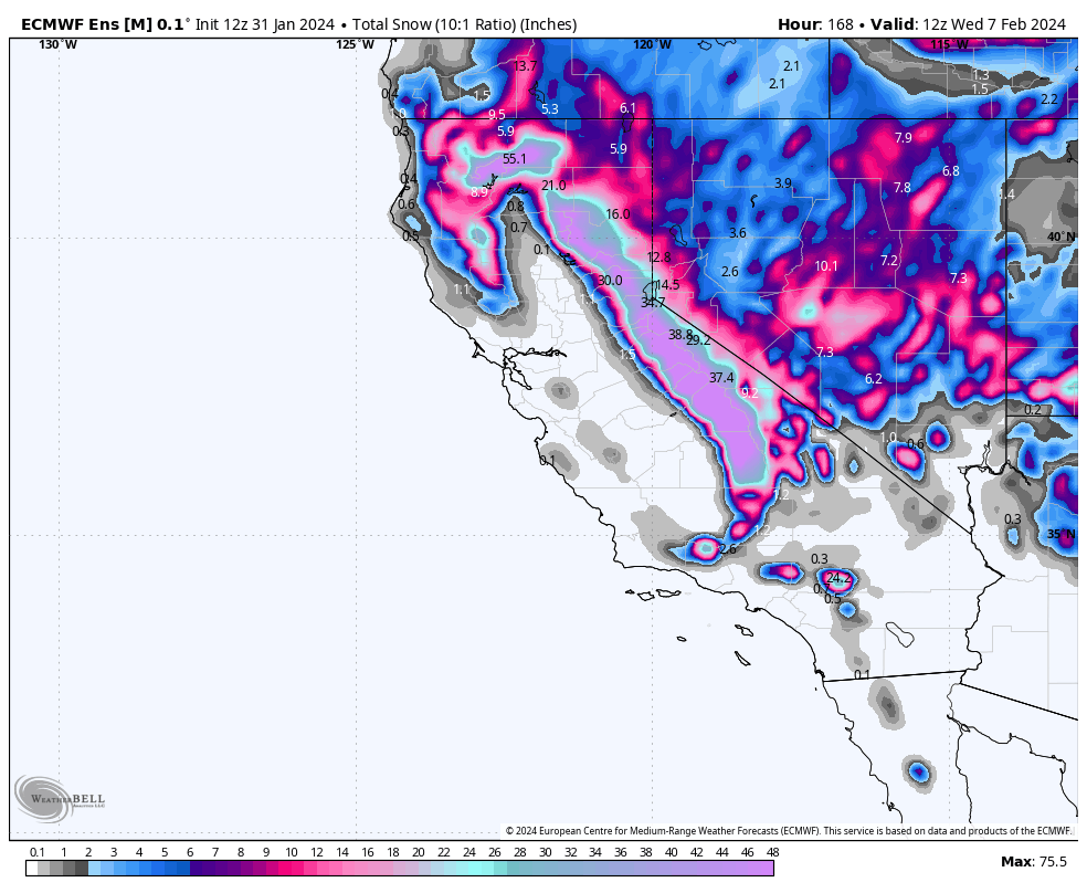
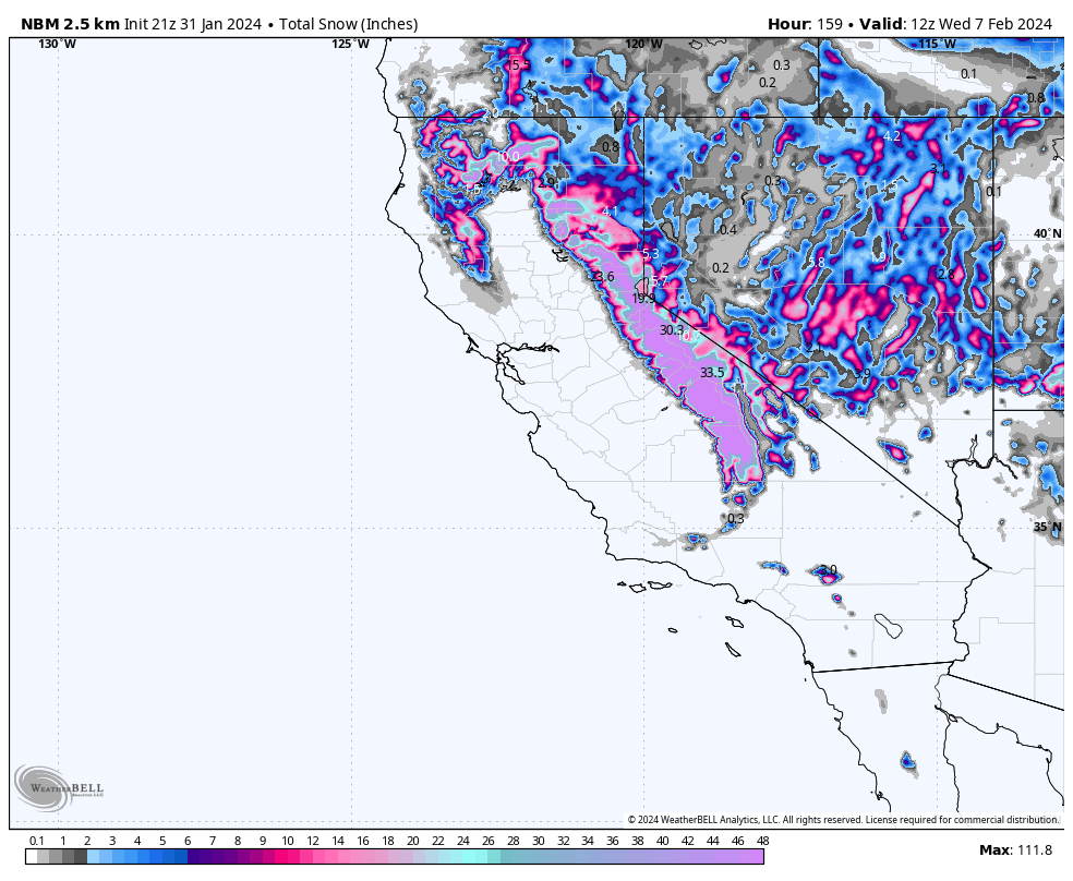
January 31st, 2024 @ 5 PM – Good evening; taking a look at the most current weather data, confidence is increasing that Mammoth Mountain will see a moderate storm system with 1-2 feet of new snow over the lower mountain and possibly 20-30 inches over the upper mountain by Friday evening.
Late tonight, snow levels will start around the 7000-7500-foot elevation. The snow levels will come down before sunrise to around the 6000-6500 foot level and then down to around 5500-6000 feet on Friday.
Over the weekend, there should be snow showers at times into early Sunday. By Sunday afternoon/evening, the next low-pressure system will start to affect the area, with more heavy snowfall for Mammoth Mountain looking likely into Tuesday evening.
That second storm system is starting to look like it could be a big-time snow producer, with heavy snow at times falling late Sunday into Tuesday afternoon. The heavy snowfall looks to be followed by snow-showery weather out to day 10.
If you plan on traveling to Mammoth on Thursday, expect a slower go from Toms Place to Mammoth. As of this evening, it’s looking like 395 from Tom Place to Mammoth could see 4-8 inches from this first storm system. Be prepared to chain up, slow down, and watch out for unprepared drivers.
The second system, if it comes in as shown on this evenings data, could usher in a brief shutdown of 395 for a period sometime during the Monday / Tuesday Time frame.
If you’re out on the hill on Thursday, expect to see 5-10 inches at sunrise from Wednesday night’s snowfall. During the hours the lifts are open, expect moderate to heavy snow at times, with 8 – 14 inches of possible new snowfall on Mammoth Mountain. Snowfall ratios on Thursday look to be in the 10-1 to 12-1 range.
It could be a decent rider of the storm day if we don’t get blown out. Winds as of now don’t look to be too bad, with a southwest wind at 25 to 30 mph decreasing to 20 to 25 mph in the afternoon with ma gusts in the 45-55 MPH range. That would allow crews to at least run chair 22 on Thursday for some Riders of the Storm action.
Snowman

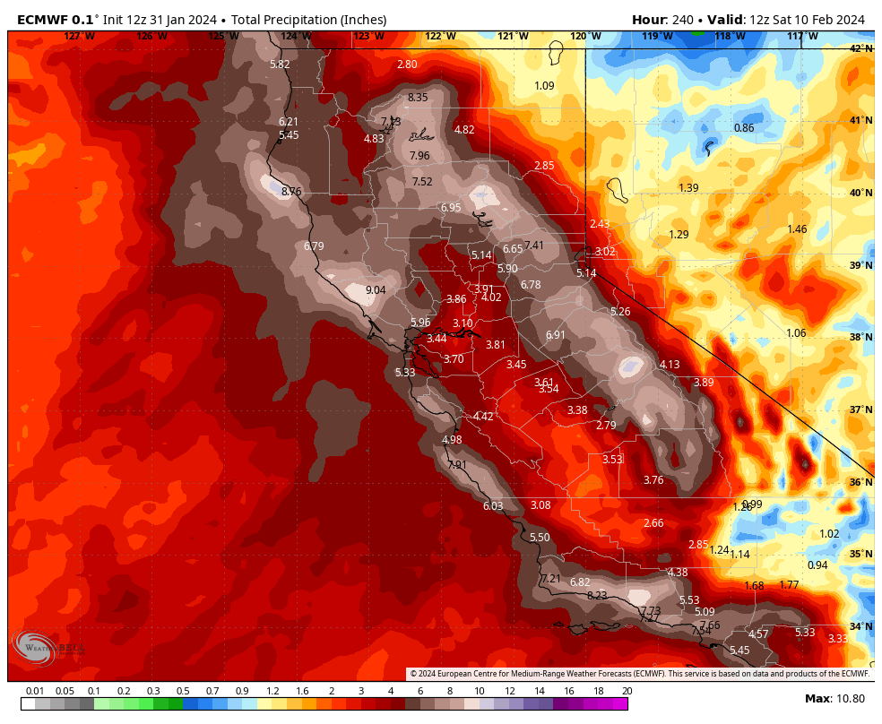
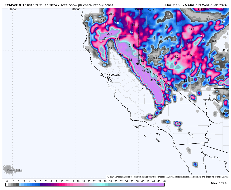
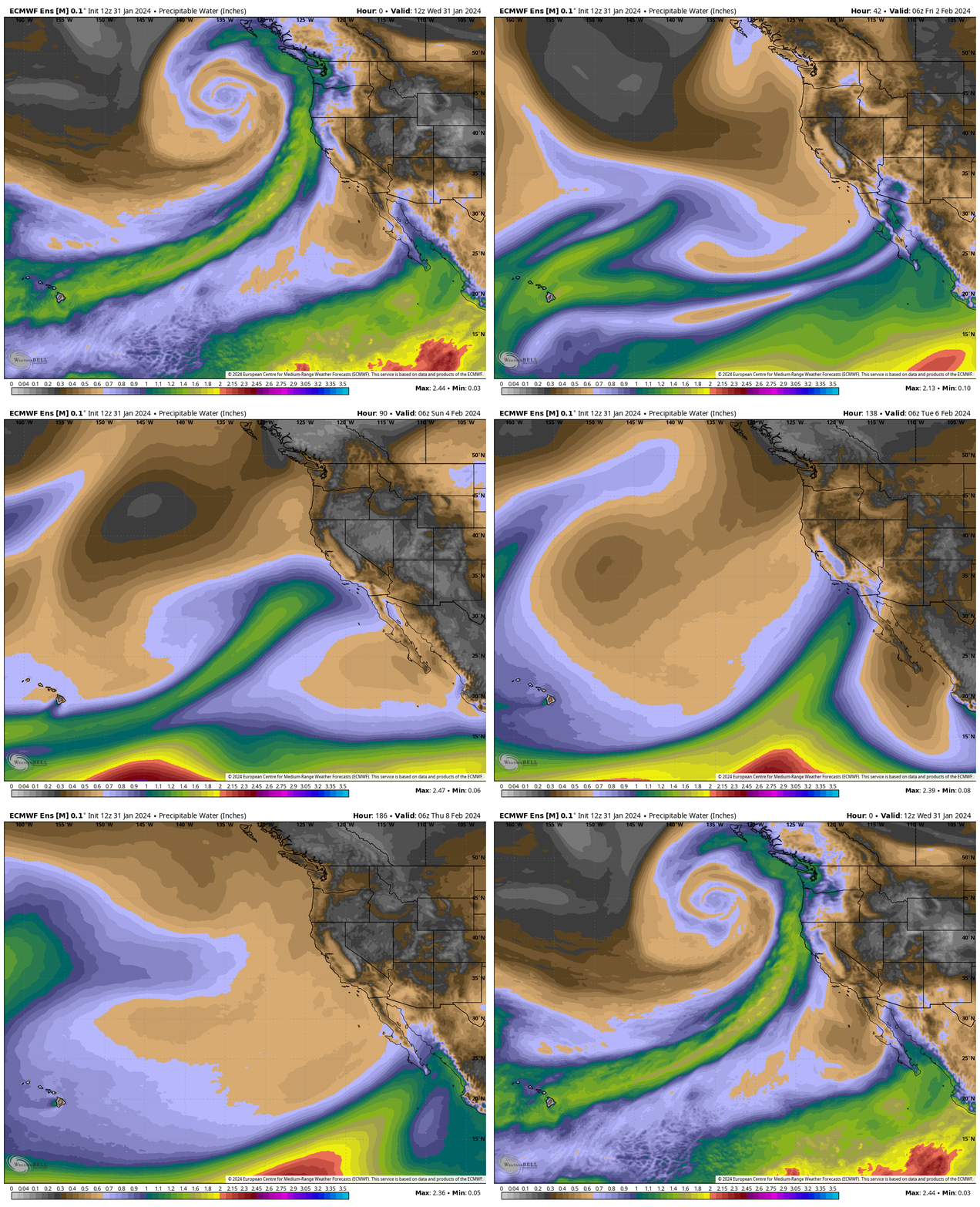
The ECMWF Model has gone big time with 8 inches of QPF to work with over the next week. That amount of QPF would add up to well over 100 inches of snowfall over the powder fields of Mammoth Mountain. Just what the mountain needs to get back to being fully covered. If this forecast comes true we can finally say good bye to the low tide days.
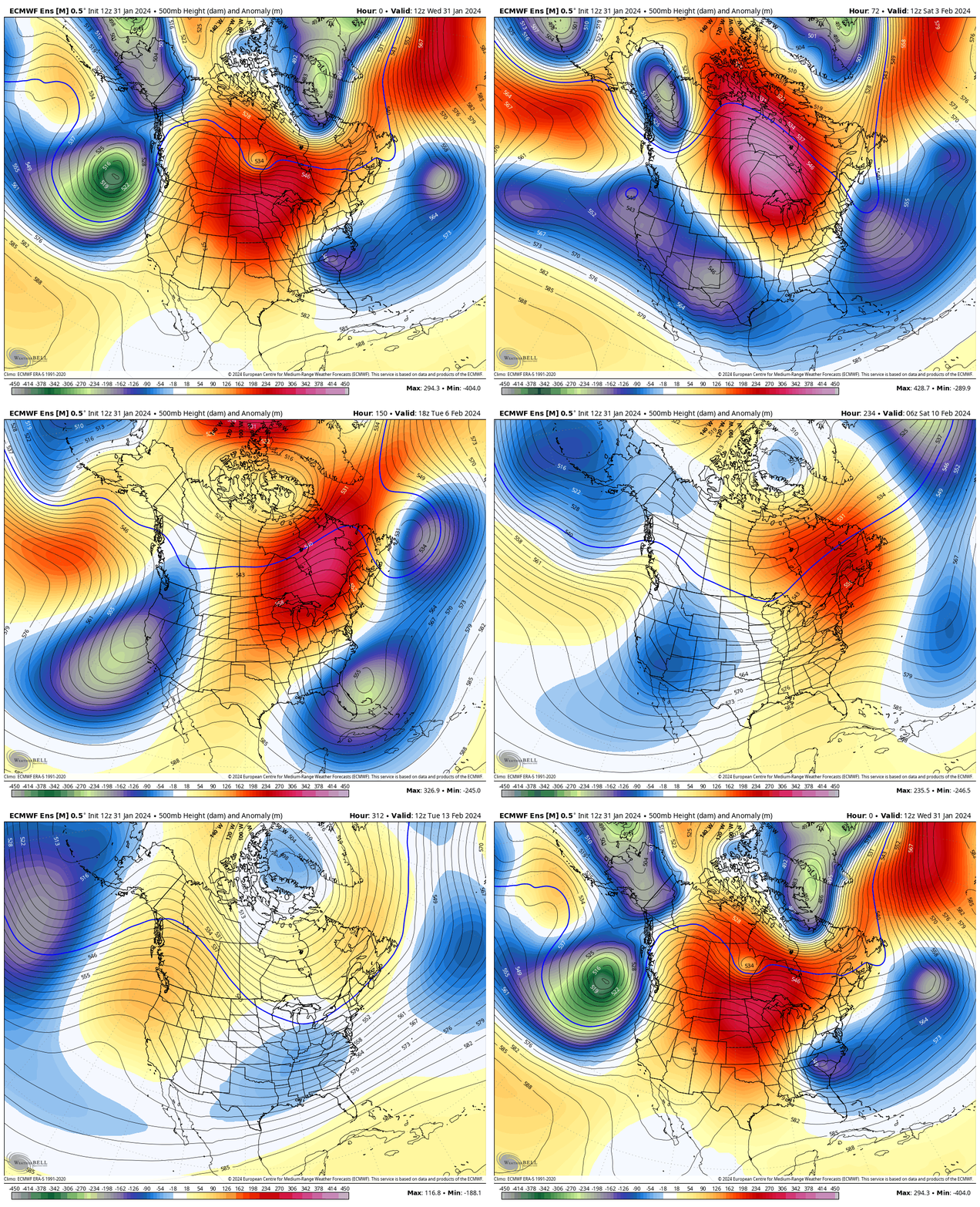
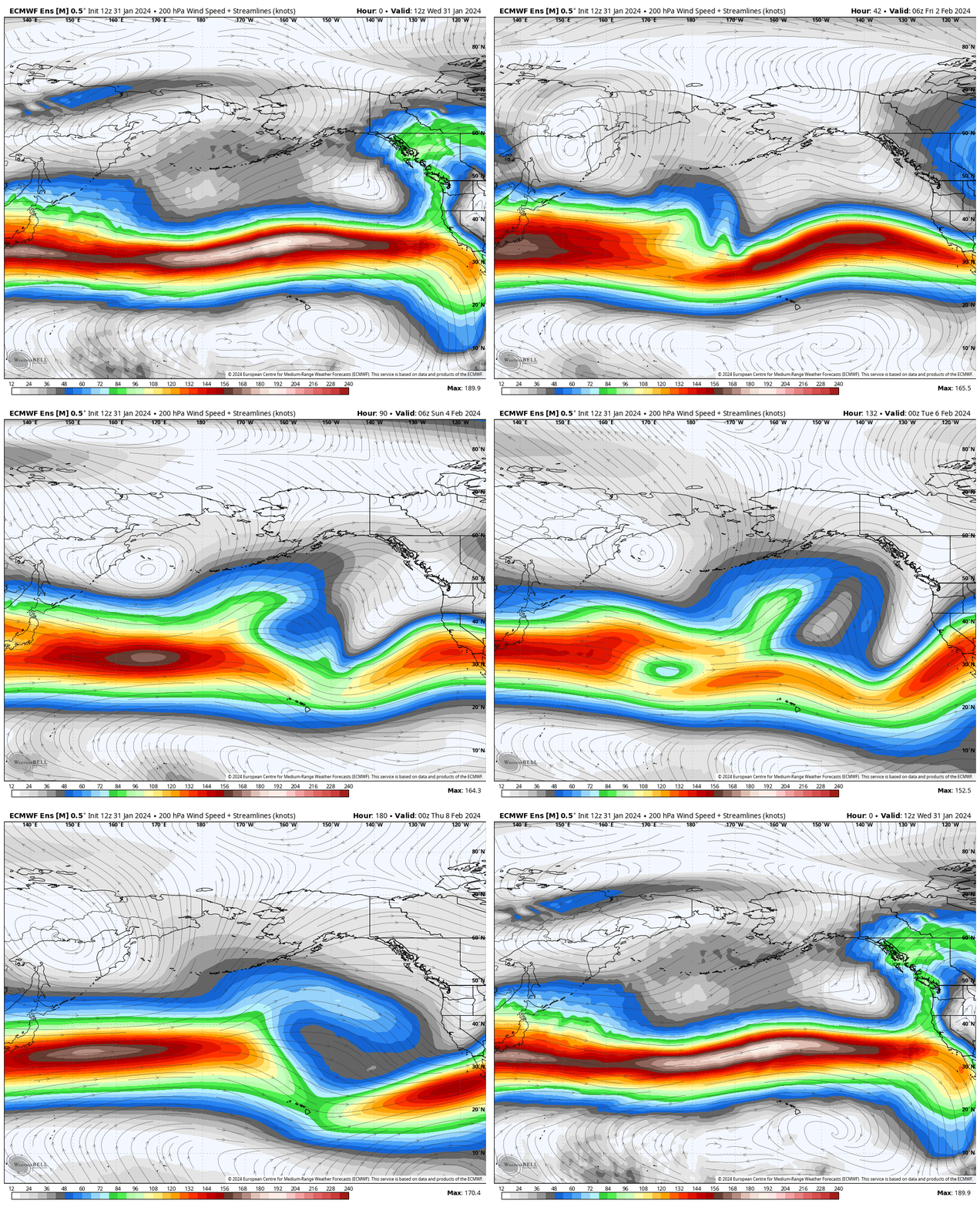
The Good old El Nino Strong Southern Jet Stream has finally made a hook up with Mammoth Mountain and the Eastern Sierra. Hopefully we see a repeat of the pattern after mid month. Models due show a possible second but weaker jet stream hook up later this month, but nothing that is for sure yet.
Current Weather and Information Posts

Powder Forecast – Tuesday April 23rd, 2024
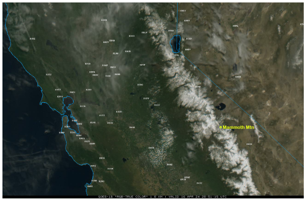
Powder Forecast – Tuesday April 16th, 2024
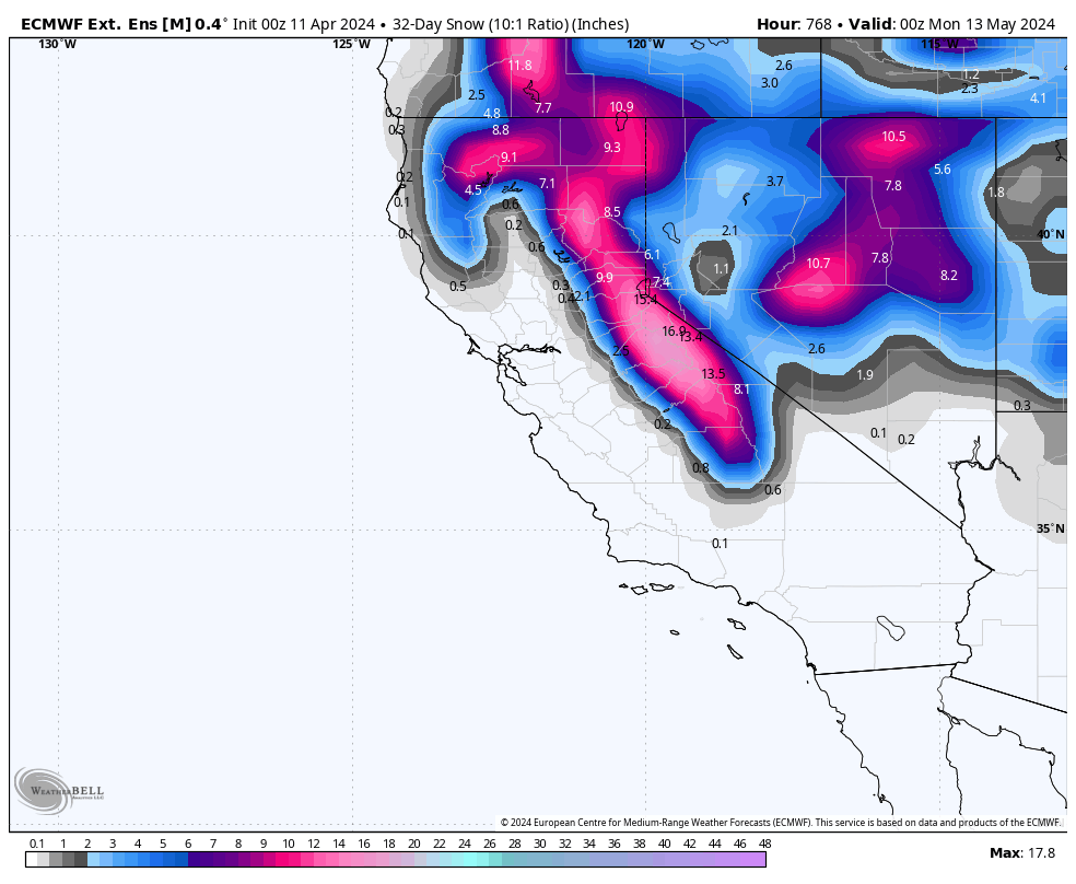
Mammoth Mountain Recreational Weather & Travel Forecast
Mammoth Mountain Recreational Weather & Travel Forecast
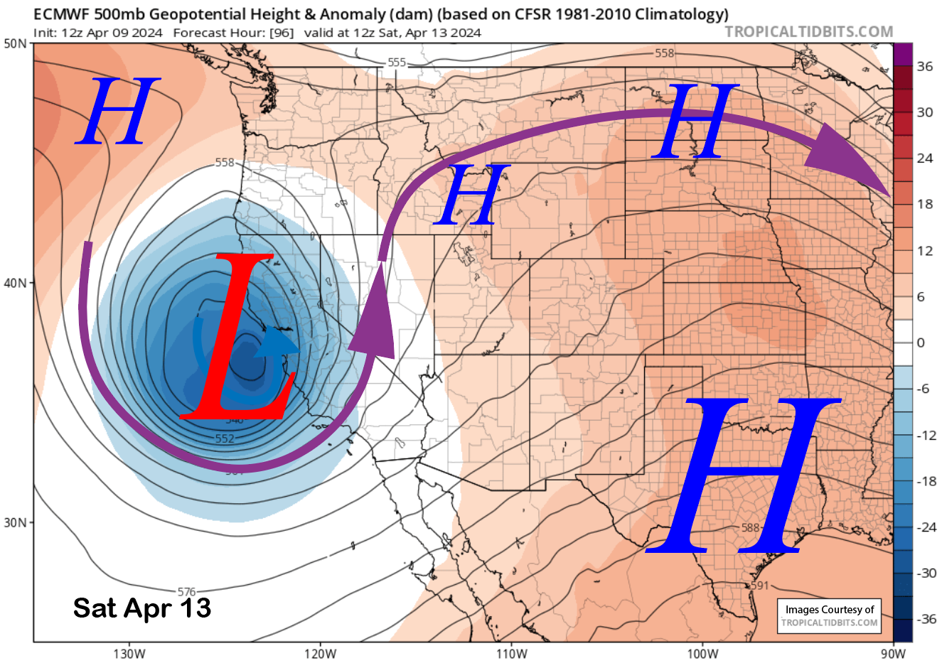
Powder Forecast – Tuesday April 9th, 2024
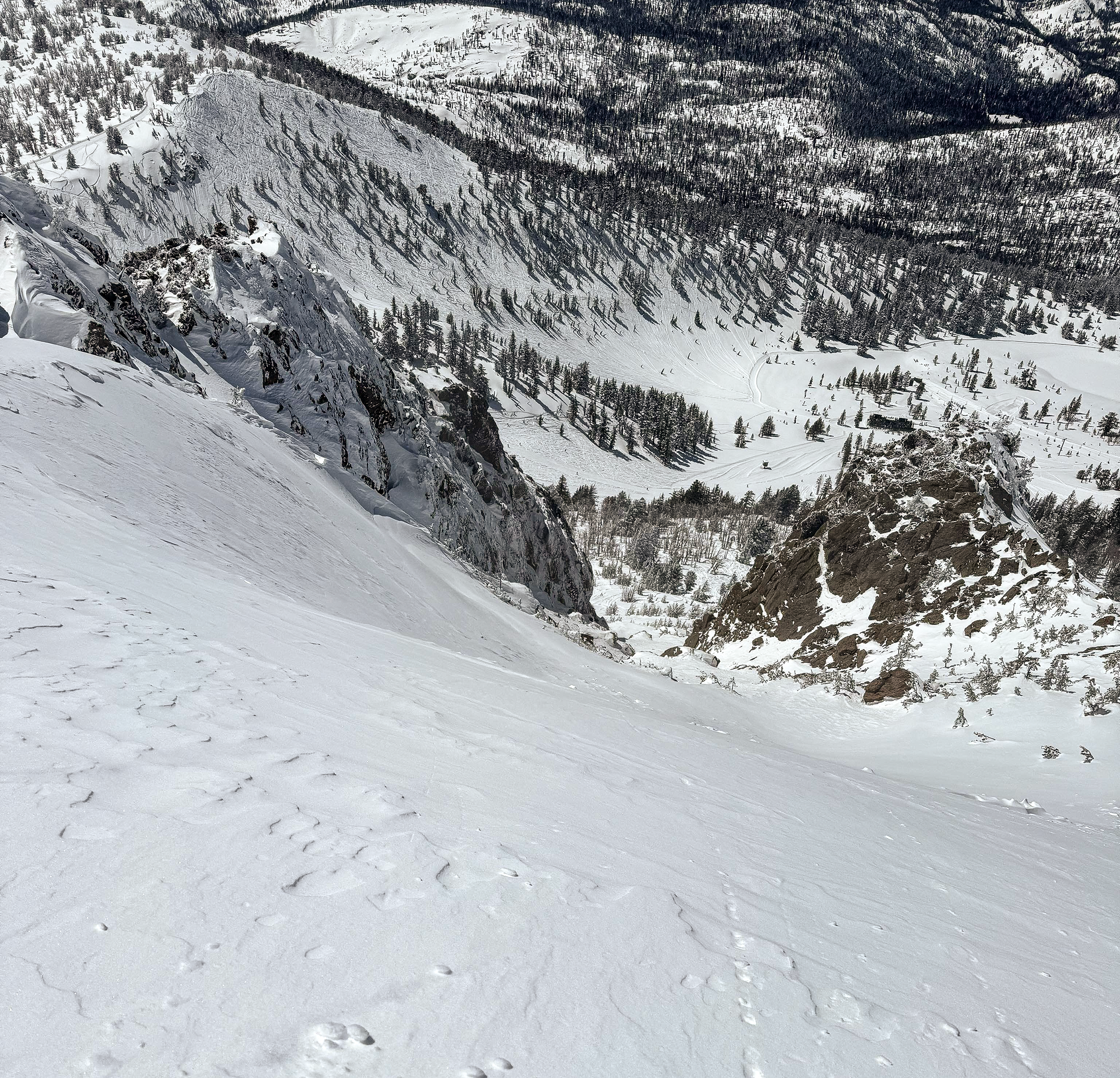
Sunday Morning Update from the Snowman
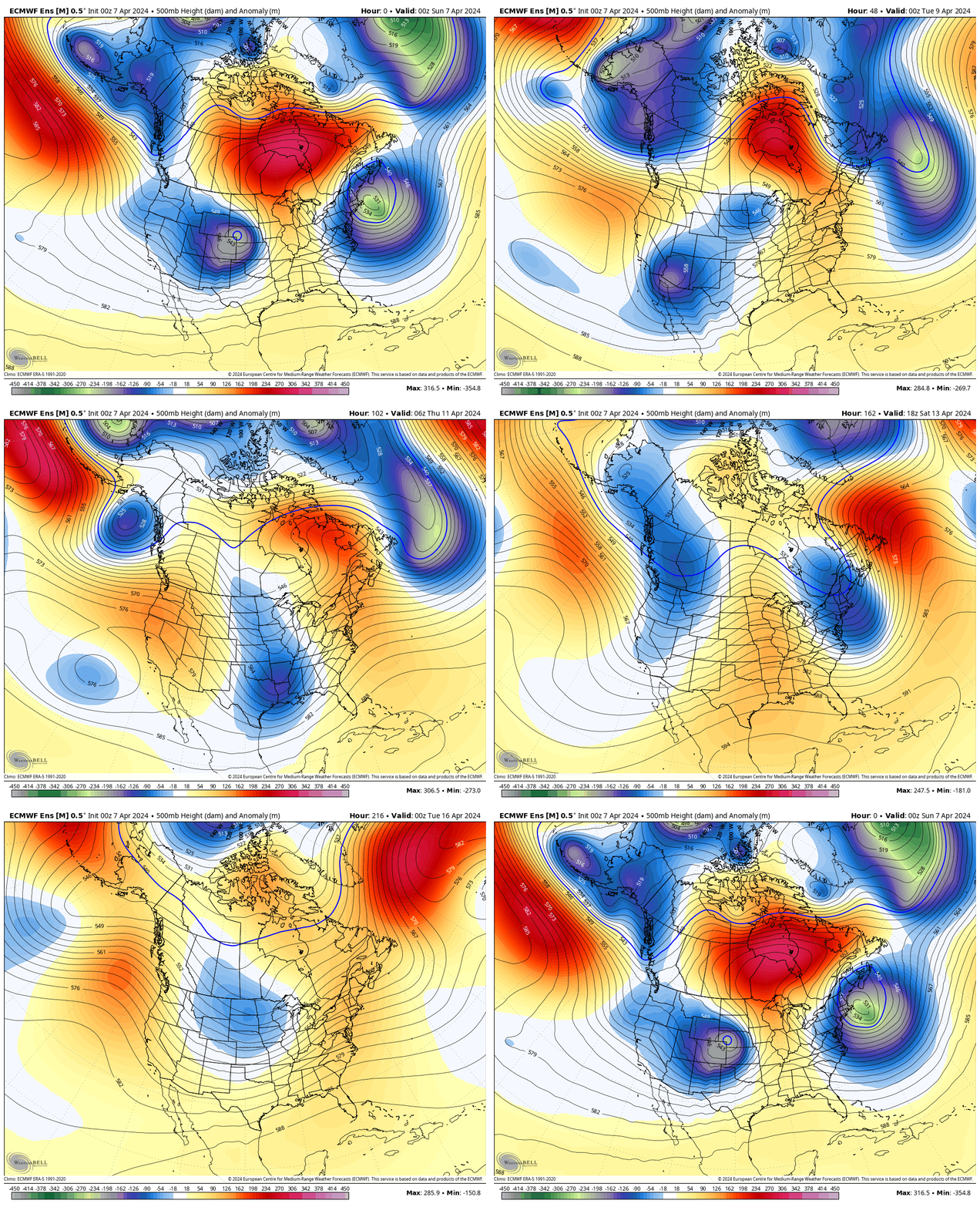
Mammoth Mountain Recreational Weather & Travel Forecast
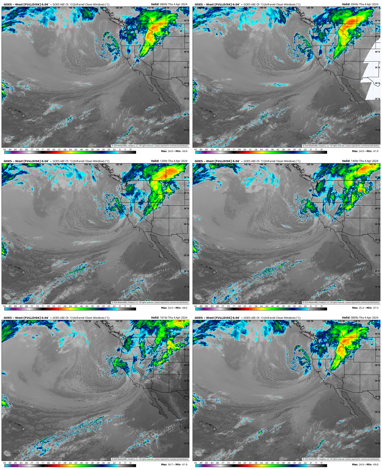
Mammoth Mountain Recreational Weather & Travel Forecast
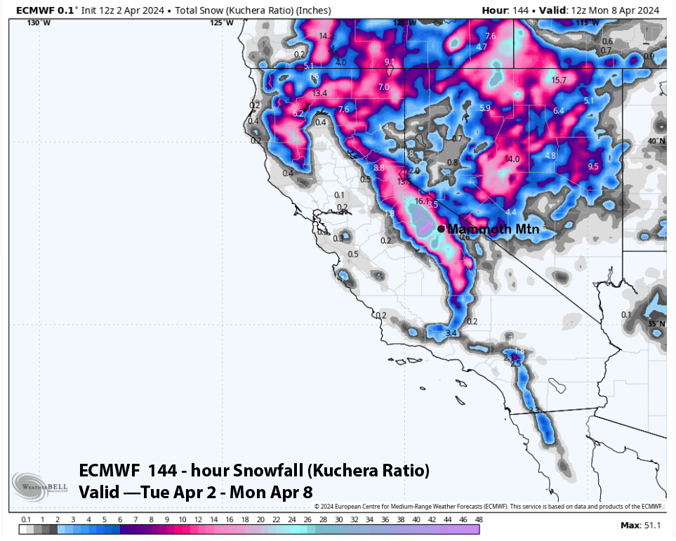
Powder Forecast –Tuesday April 2nd, 2024
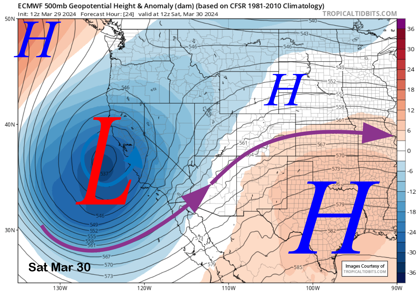
Powder Forecast –Friday March 29th, 2024
Mammoth Mountain Recreational Weather & Travel Forecast
Author – Steve Taylor – The Mammoth Snowman – Over the last 30+ years, Snowman has spent countless hours studying and learning about Mammoth Mountain Weather and Snow Conditions first hand. He has been skiing around the hill with marked ski poles since March of 1991 so he can measure the fresh snowfall amounts out on the hill.
Snowman started blogging this information back in 1990 on the old Mammoth BBS system, then the RSN Forums and then on to MammothSnowman.com in 2004 with Video & Photo Blog reports. (No YouTube back then). Facebook got added to the fold back in 2008 and then the Facebook Group in 2016.
Reports, videos, and photos from the website have been featured on both local TV Stations here in Mammoth and Bishop, along with KTLA, AP, Fox, ABC, CBS, and NBC News.
Click Here to Learn More About the People Who Make MammothSnowman.com a Reality
