

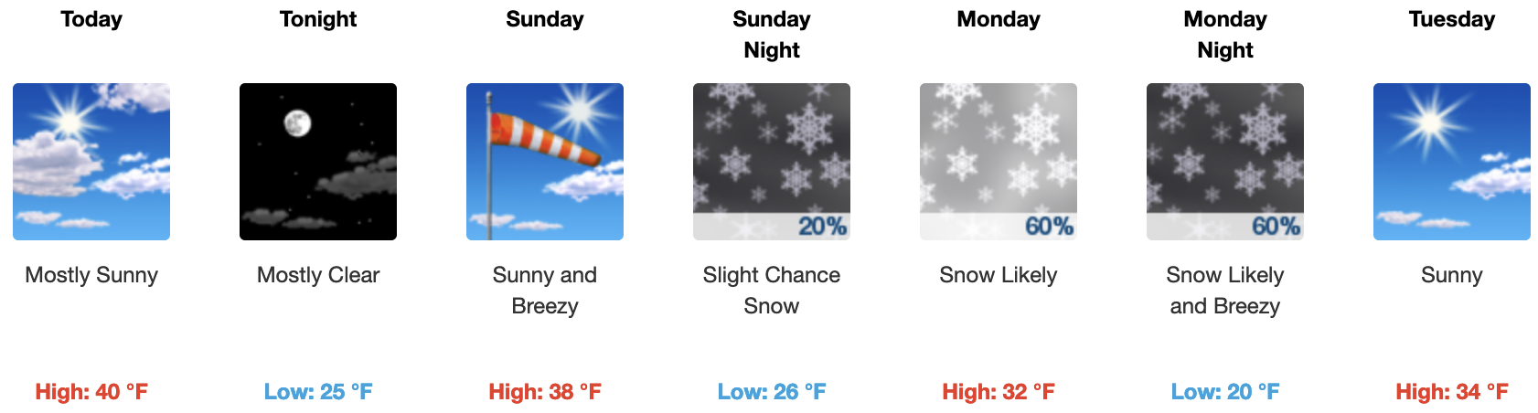
2-24-2024 @ 8 AM – Weather Summary: A warm and dry weekend is on tap, with temperatures now expected to rise into the low to mid-40s from Canyon Lodge up to MC Coy Station. It’s going to feel a bit spring-like, especially now that we are at the end of February and the sun is higher up in the sky.
Clouds will increase again later on Monday as the next weak system slides down to our east, bringing with it possibly several inches of snow. In the middle of next week, there is a break before the next strong system starts to move away late next Thursday and into the following weekend.
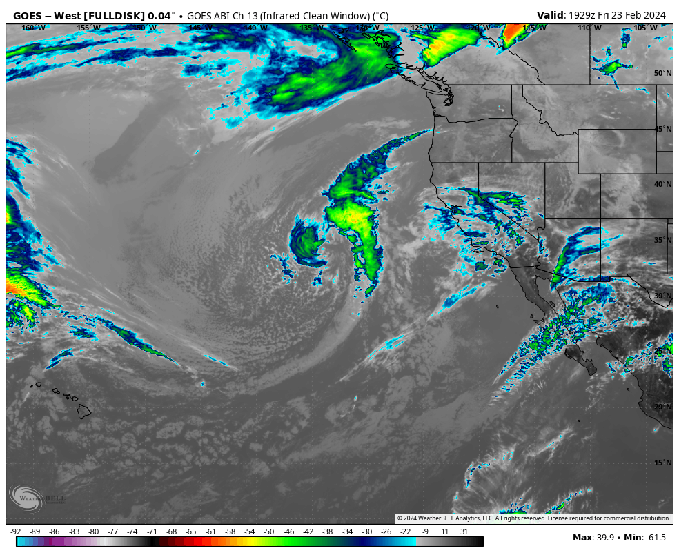
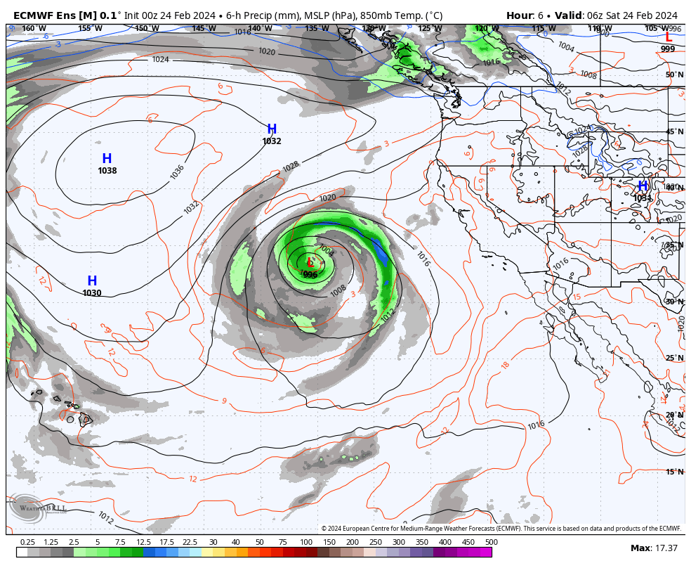
If you’re heading to the hill today on Saturday and Sunday, look for mostly clear skies to return. Temperatures are expected to climb into the lower to mid-40s with light southwest winds of 5-10 MPH with gusts to 15-20 MPH up top. The winds will be picking up on Sunday in the 15-25 MPH range with gusts to 35-45 MPH on the mid and upper mountain.
For Monday, look for increasing clouds during the day with mid-day temperatures in the mid to upper 30s. Winds will be out of the SW at 15-25 MPH with gusts in the 35-45 MPH range on the mid and upper mountain. Later in the day, snow showers will move in, with 1-2 inches of snow possible.
For Tuesday into Wednesday, there will be a break in the action with Blue Bird conditions and mid-day temperatures in the mid to upper 30s.
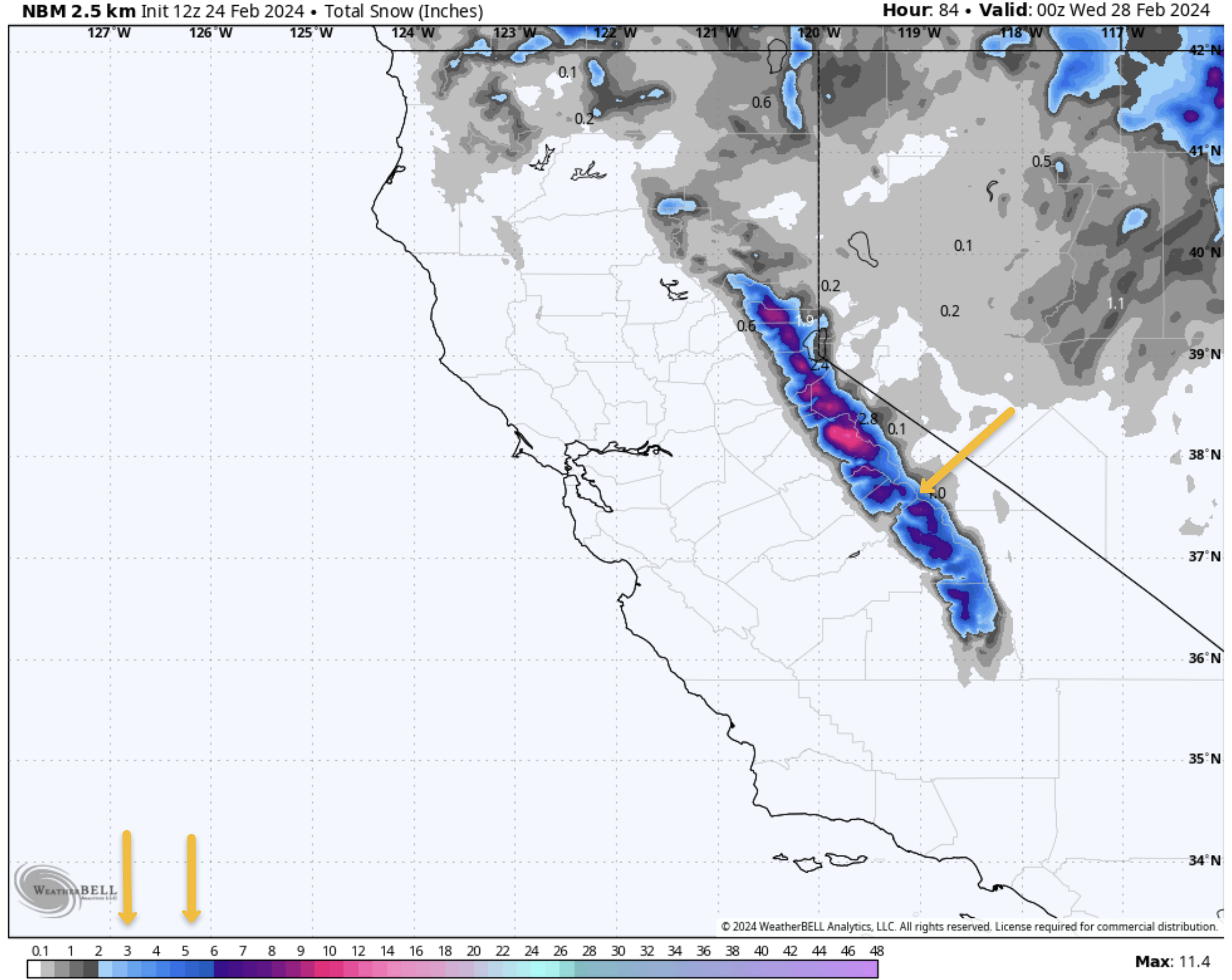


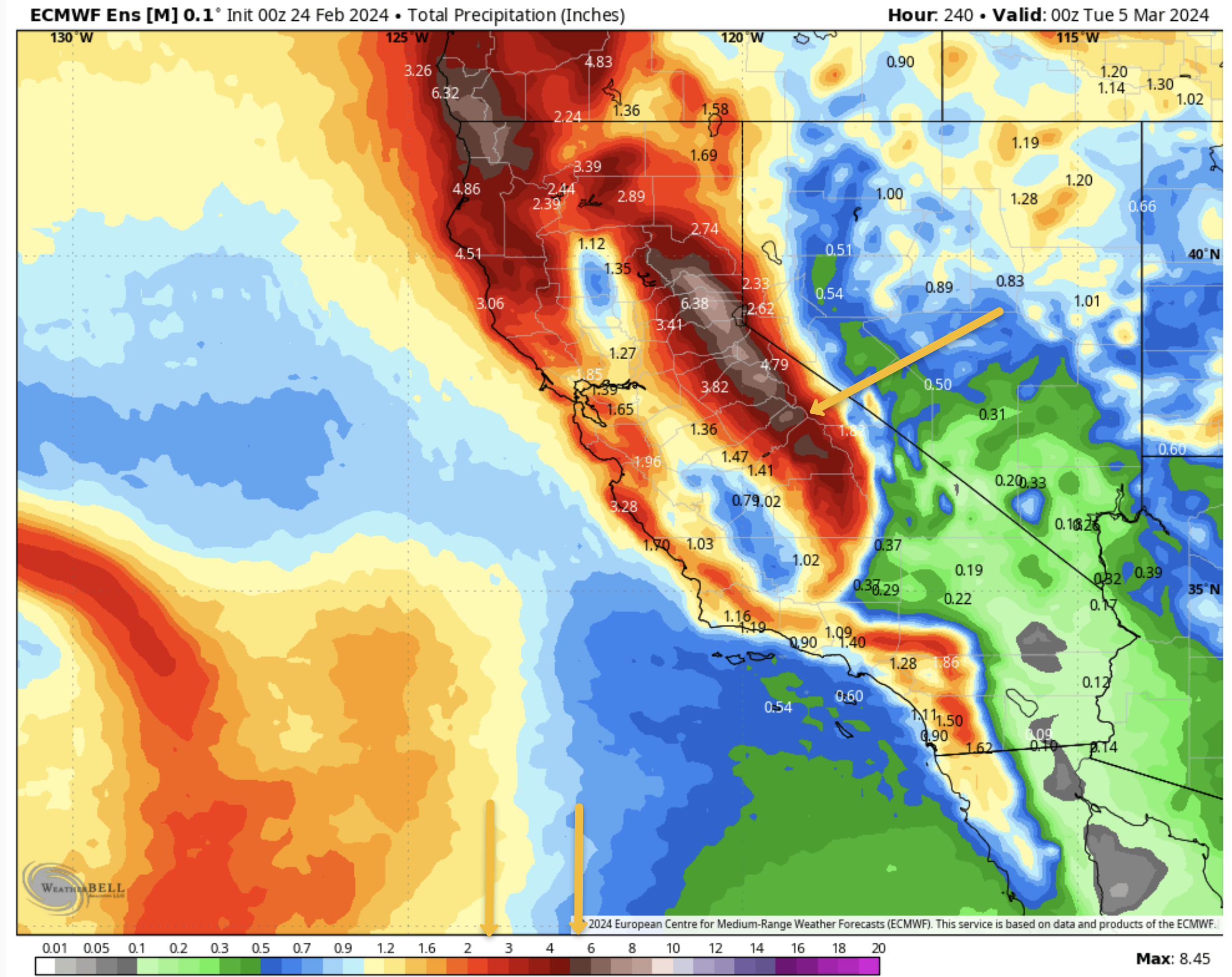
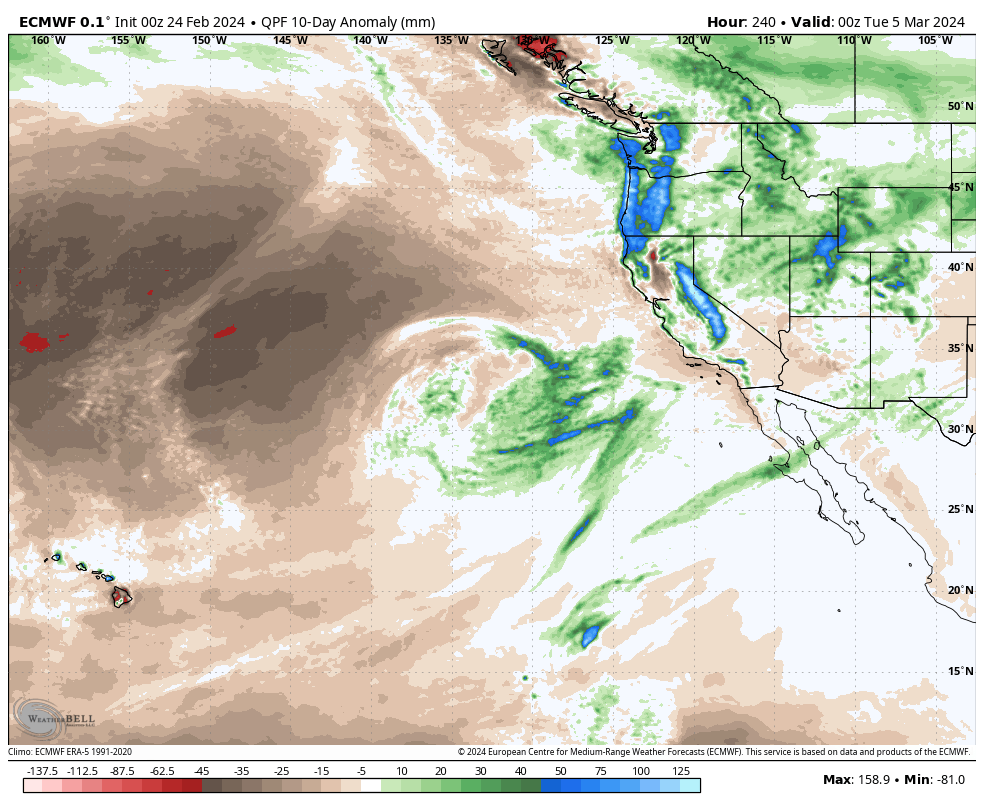
Longer Range Fantasy Outlook: By Next Friday, the next large system looks to be moving into the Mammoth Mountain and Eastern Sierra Areas. That one has all the signs of being a 3-5+ foot snow producer for the high country, with snow at some point making it down the Sherwin Grade into the west Bishop Foothills.
If you have plans to be in Mammoth the first weekend of March, you need to keep checking in with our forecast, as travel may become difficult by next Friday through the following weekend. Since this system is in the 7-10 day period, the forecast details will change, so don’t cancel your trips yet.
Please Note: the forecasts you find here on the website from myself and Ted are not AI generated like your favorite app, we use our local knowledge to try and nail down a more specific forecast.
Snowman

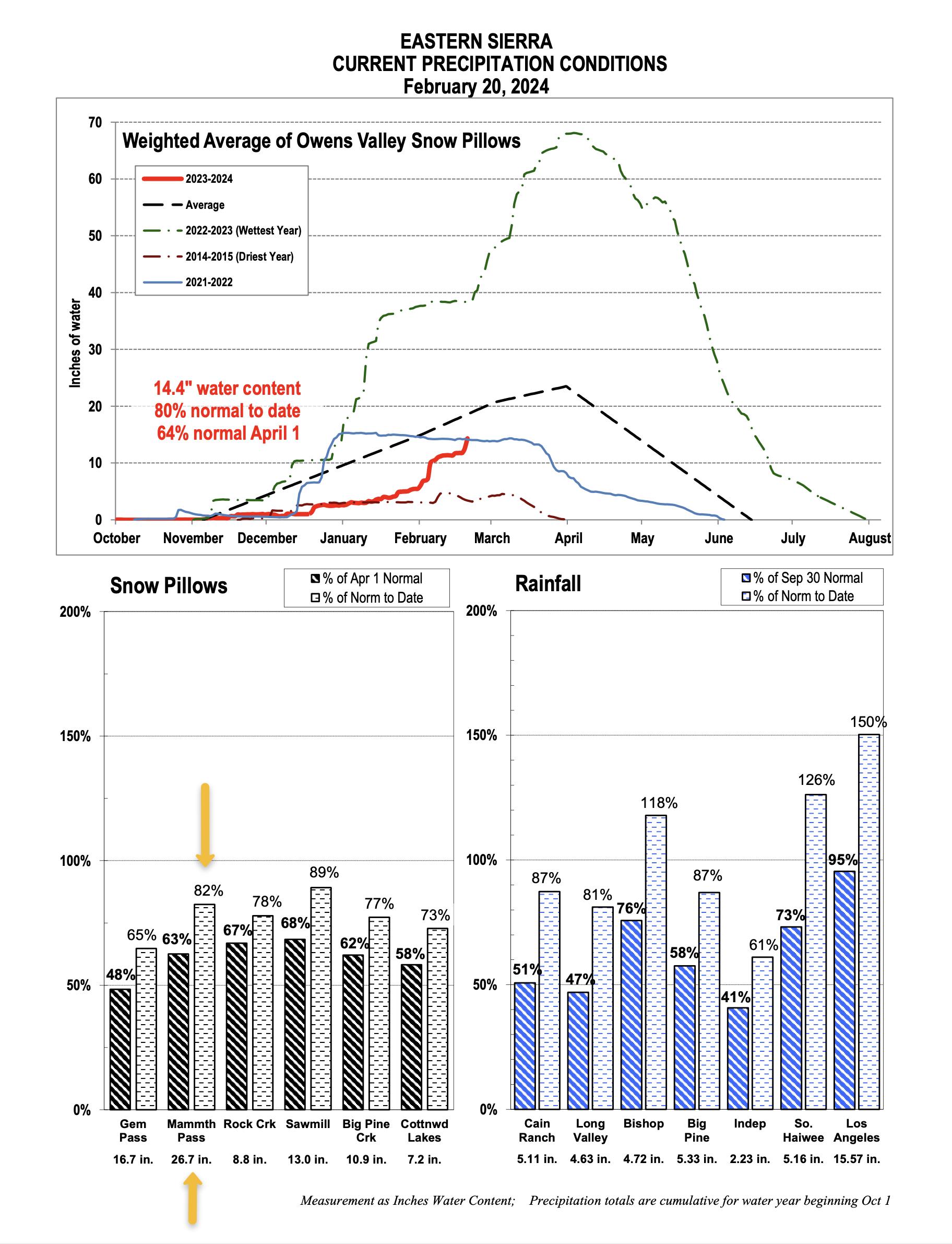
Snow Study Site & Eastern Sierra Snow Pillow
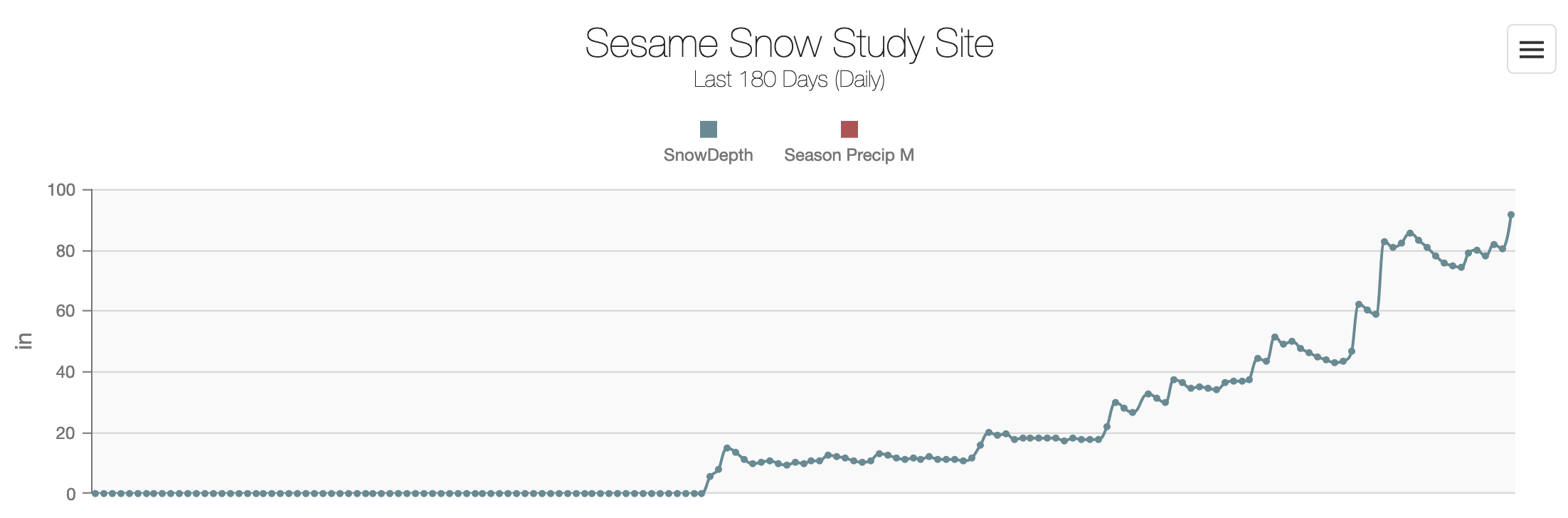
The seasonal snowfall for February at the Sesame Street Snow Study Site is around 119 inches this morning with a base of 90 inches. Total Precipitation this season is around 24.6 inches of water.
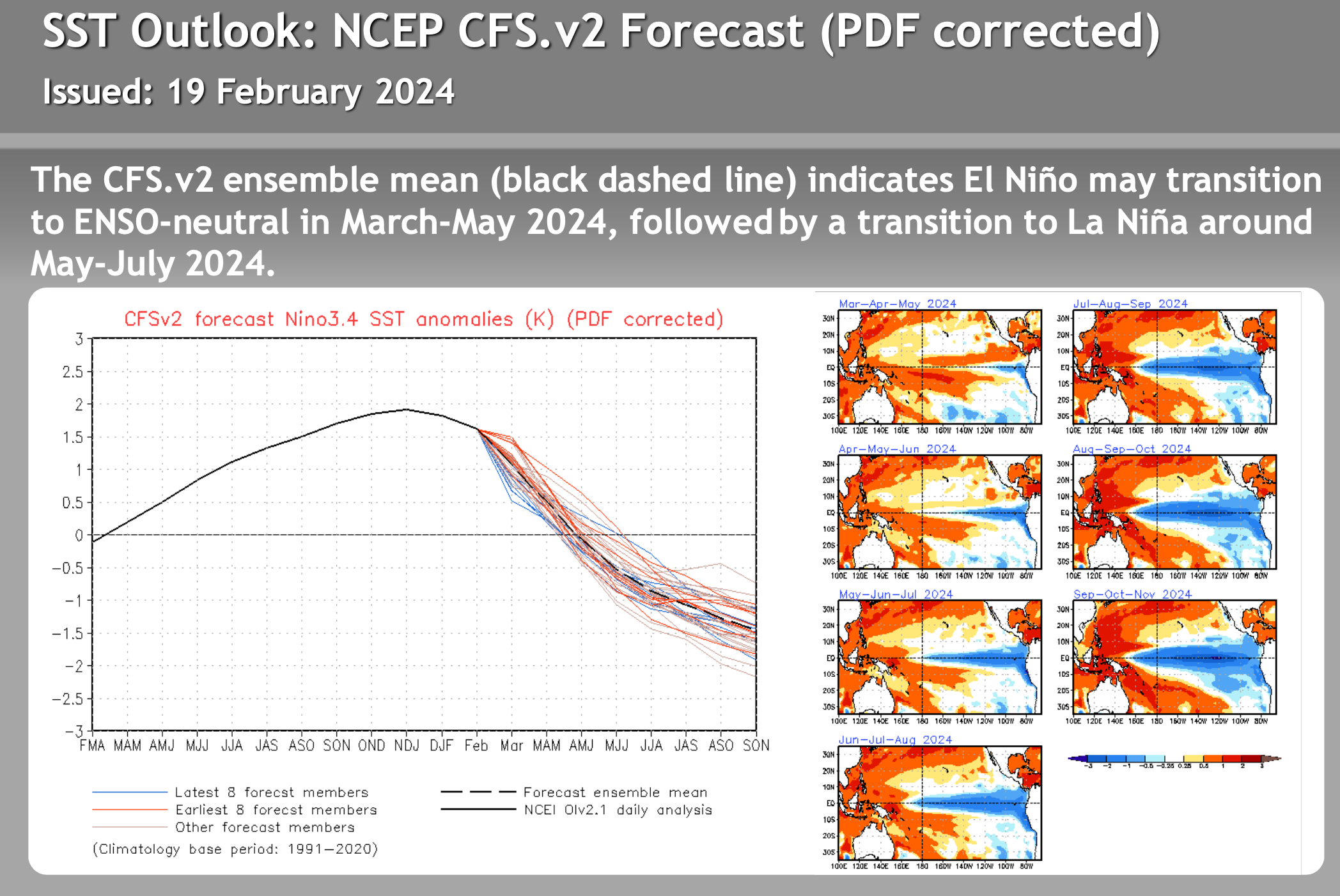
El Nino – La Nina – Neutral Watch


Author – Steve Taylor – The Mammoth Snowman – Over the last 30+ years, Snowman has spent countless hours studying and learning about Mammoth Mountain Weather and Snow Conditions first hand. He has been skiing around the hill with marked ski poles since March of 1991 so he can measure the fresh snowfall amounts out on the hill.
Snowman started blogging this information back in 1990 on the old Mammoth BBS system, then the RSN Forums and then on to MammothSnowman.com in 2004 with Video & Photo Blog reports. (No YouTube back then). Facebook got added to the fold back in 2008 and then the Facebook Group in 2016.
Reports, videos, and photos from the website have been featured on both local TV Stations here in Mammoth and Bishop, along with KTLA, AP, Fox, ABC, CBS, and NBC News.
Click Here to Learn More About the People Who Make MammothSnowman.com a Reality


