
Current Satellite View


10-5-22 @ 8:11 AM – The 10-Day Mammoth Weather Story:
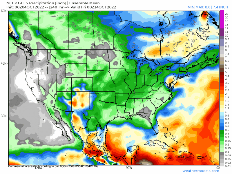
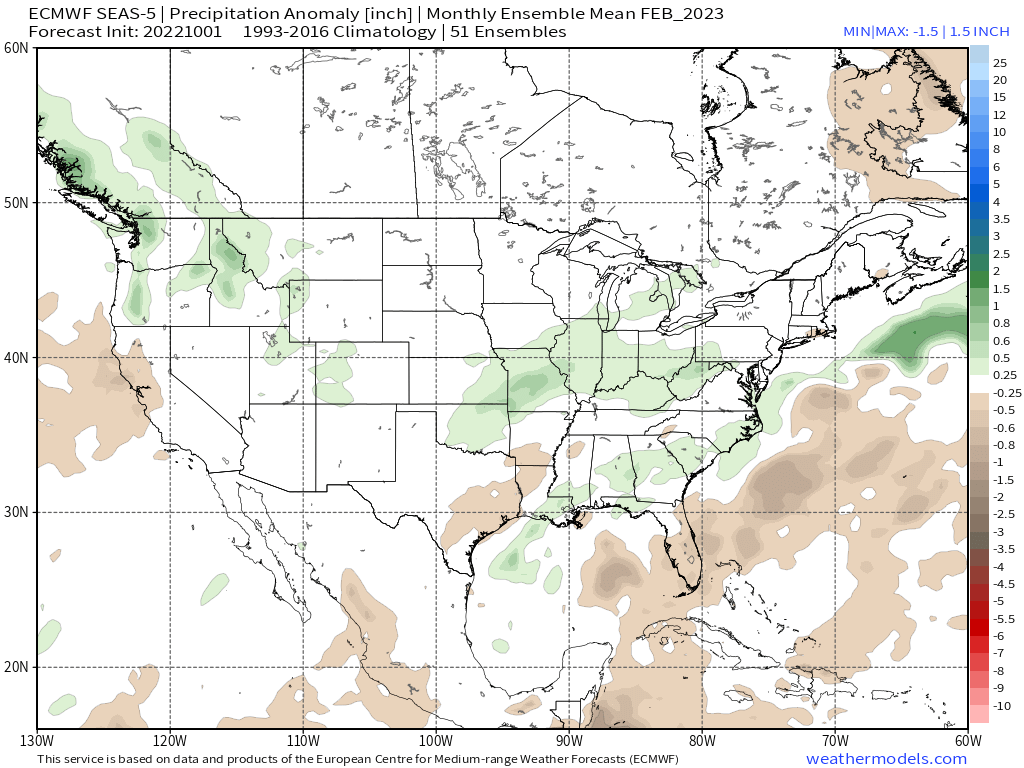
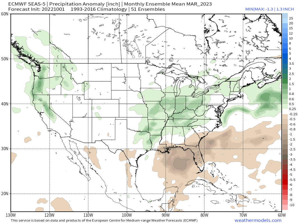
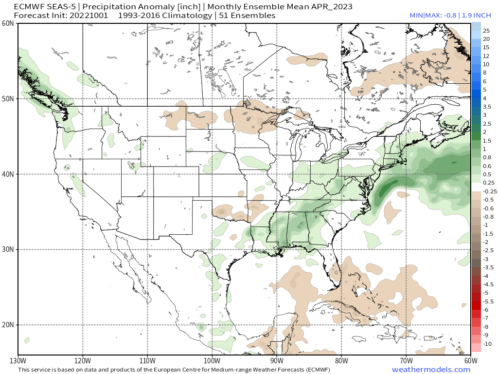
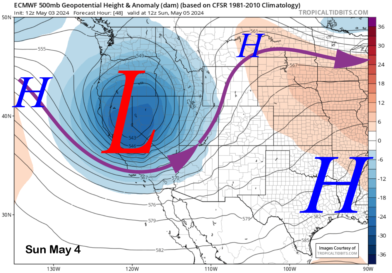
Going to be ridge city through the weekend with above-average highs on Mammoth Mountain and around the Eastern Sierra.
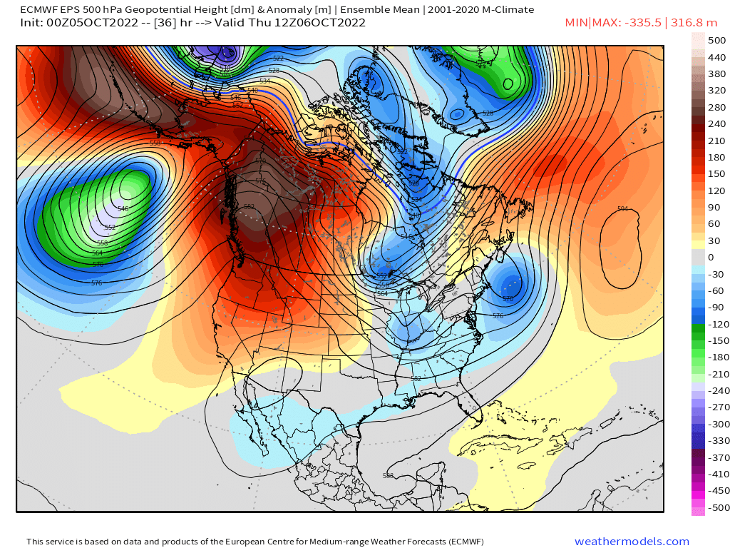
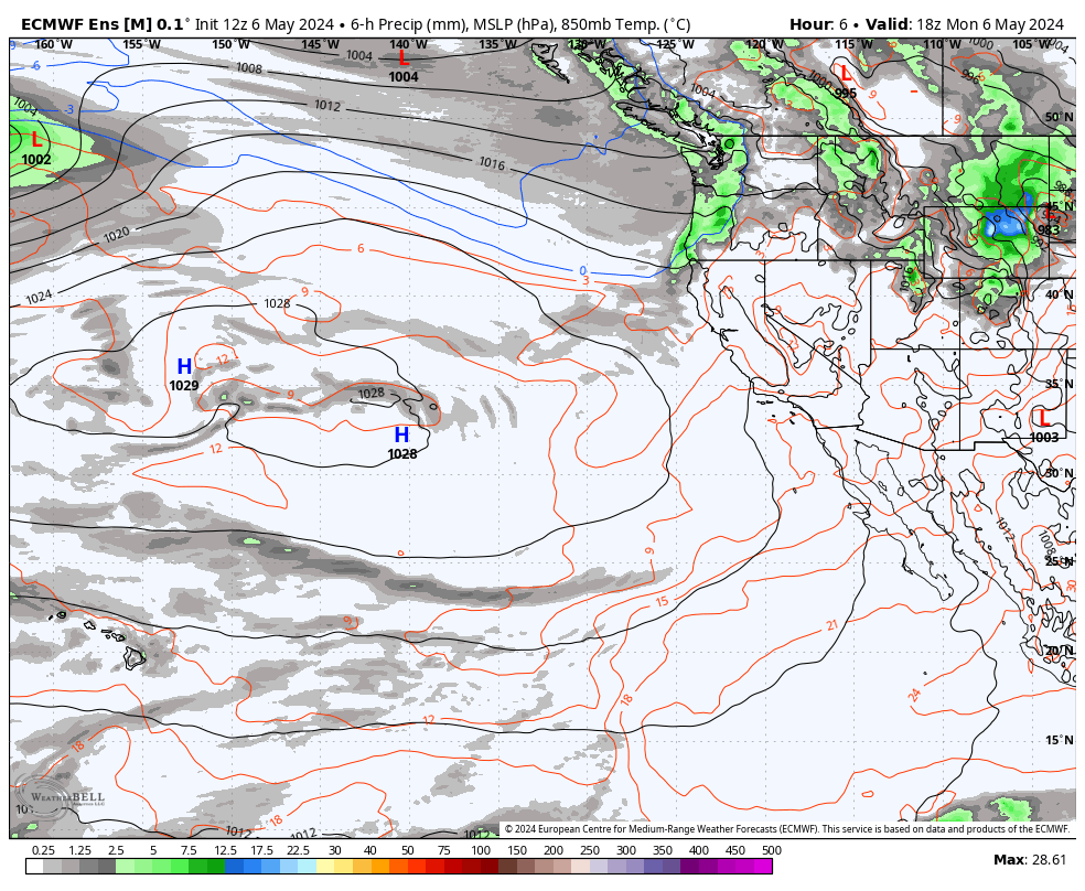
 By next Monday a cut off low well to our south will pump enough moisture our way that Mammoth Mountain and the Eastern Sierra high country could see some cloud build-ups into Tuesday. There is even a slight chance of a rain shower.
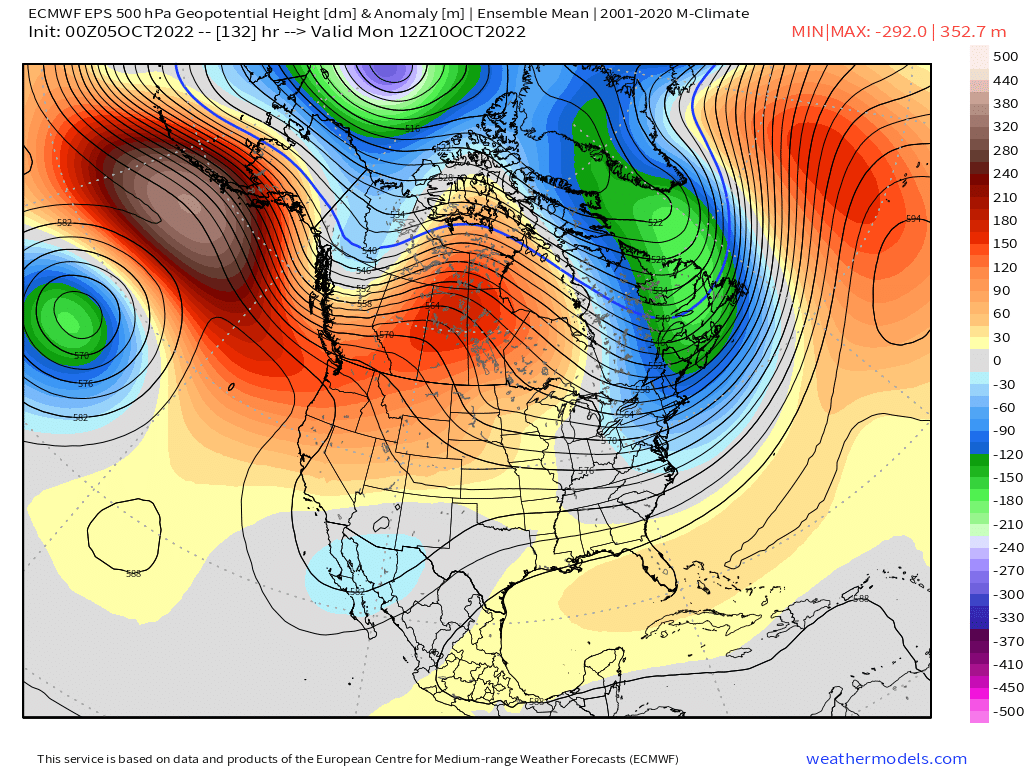
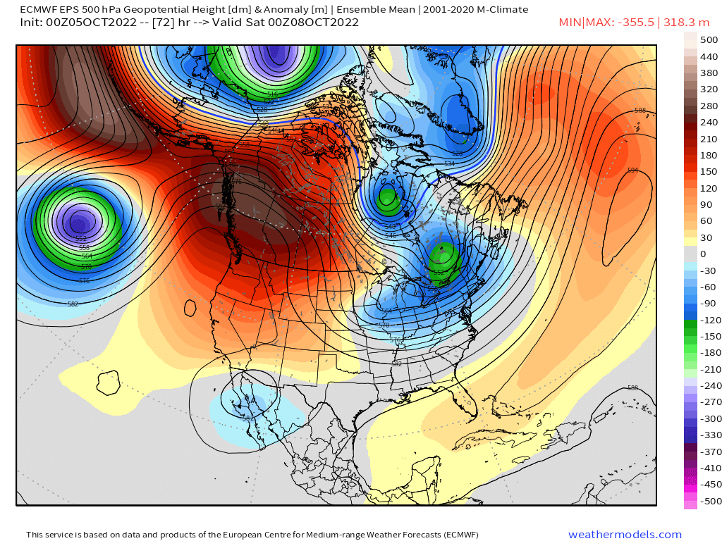
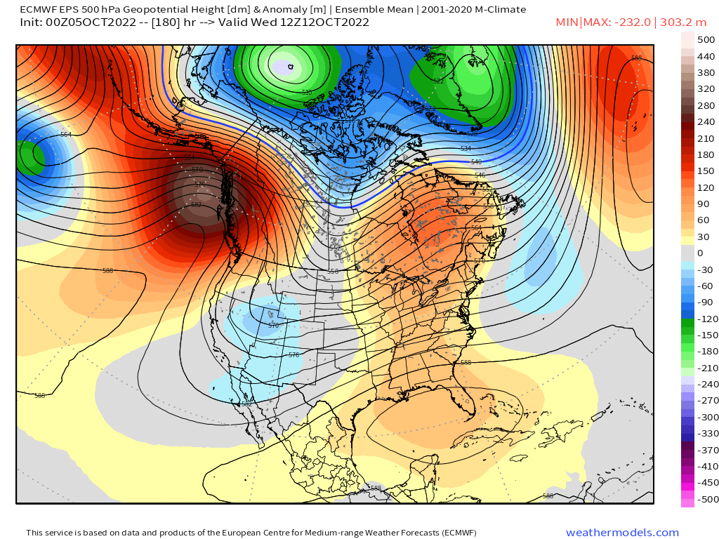
After an inside slider type low will drop south into the great basin and then merges with the cut-off low to the south. In the process, there could possibly be a dusting of snow sometime later next week.
Confidence in the track of the low and what moisture it has is very low right now. That’s just too far out this early in the season.
 By the end of the 10-day period, that would be 2 weekends out Mammoth looks to have about average highs and lows with clear skies and dry conditions.
Snowman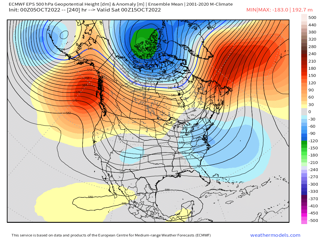


Who Are We?
 Steve Taylor – Mammoth Snowman – Over the last 30+ years, Snowman has spent countless hours studying and learning about Mammoth Mountain Weather and Snow Conditions first hand. He has been skiing around the hill with marked ski poles since March of 1991 so he can measure the fresh snowfall amounts out on the hill.
Snowman started blogging this information back in 1990 on the old Mammoth BBS system, then the RSN Forums and then on to MammothSnowman.com in 2004 with Video & Photo Blog report. (No YouTube back then). Facebook got added to the fold back in 2008 and then the Facebook Group in 2016.
Reports, videos, and photos from the website have been featured on both local TV Stations here in Mammoth, along with AP, Fox, ABC, CBS, and NBC News.
 Ted Schlaepfer – Mammoth WeatherGuy – The Powder Forecast – Posted Tuesday and Fridays at 5 PM November into Mid May. These forecasts are now responsible for many people getting multiple powder days on Mammoth Mountain over the years.
Ted’s Bio: Ted has been a full-time Meteorologist (CCM) for the past 25+ years. He has always been fascinated with the weather,” skiing was just a natural extension of my love for snow and rain. I started skiing at age 5, first discovered Mammoth in 1979 as a youth, and have been a regular visitor since the late ’80s.”.
Here is the link to The WeatherGuys Powder Forecast Page.
Click Here to Learn More About the People Who Make MammothSnowman.com a Reality
Current Satellite View


