
Mammoth Weather Update for Wednesday, July 28th, 2021
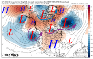
Synopsis: The main weather story through Saturday will be the continued daily thunderstorm chances.
Look for an increase in thunderstorm activity over the next few days before the threat ends and we dry out next week.
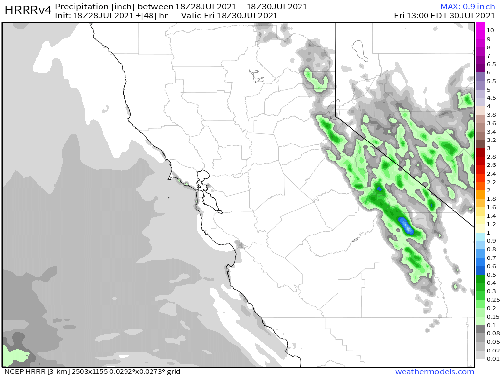
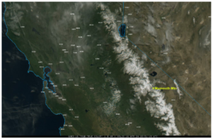
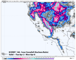
While impossible to nail down what exact locations get hit with t storms, areas that due could get up to an inch of rain by Saturday. With up to 2+ inches in some isolated locations in the back country.
Local area vegetation has moistened up a bit so the rain we have had helping at this point.
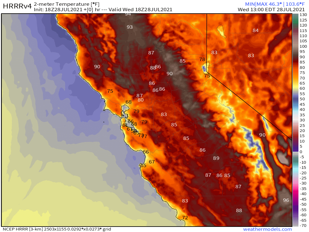
Temperatures: Look for the mid to upper 60s for Mammoth Mountain with a lot to mid-70s for Mammoth Lakes. Down in Bishop, it’s cooled off down into the low 90s.
In areas that do get under a heavy thunderstorm, temperatures can drop 20 or more degrees fast. Be prepared if you plan to be outdoor during the pm hours the next few days.
Winds: will be strong near Thunderstorms the next few days. Starting next week the good old SW afternoon winds will be back.
Smoke and Haze: We have been experiencing some haze with very light smoke at times. Nothing to worry about at this time.
Here are the links to NWS Forecast for Main Lodge & the Mammoth Lakes Basin, Mammoth Lakes, June Lake, Crowley Lake and Bishop.
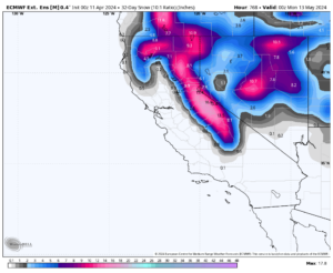
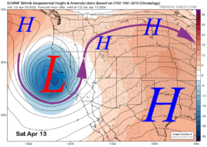
Extended Outlook: Looking out over the next 16 days I am still not seeing any excessive heat waves. Some of the models want to keep the T Storms going for the next week before they try to dry us out.
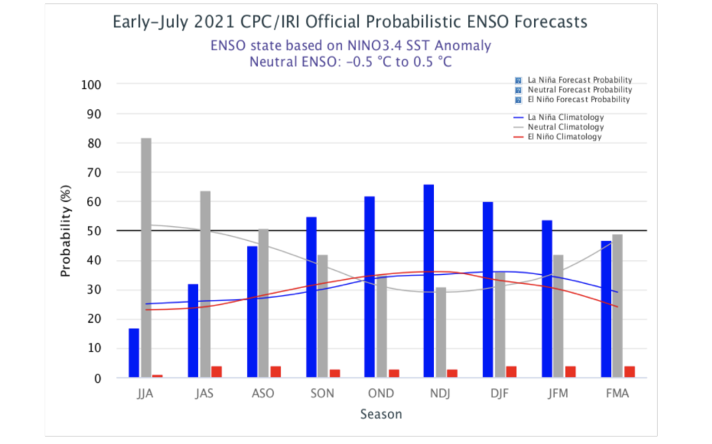
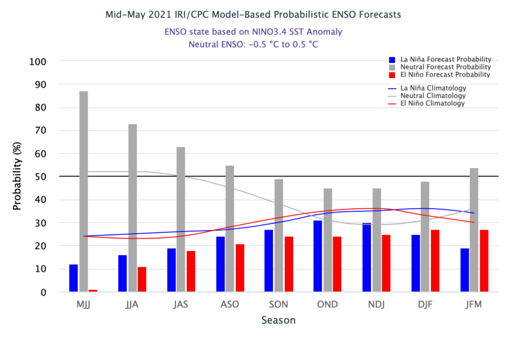
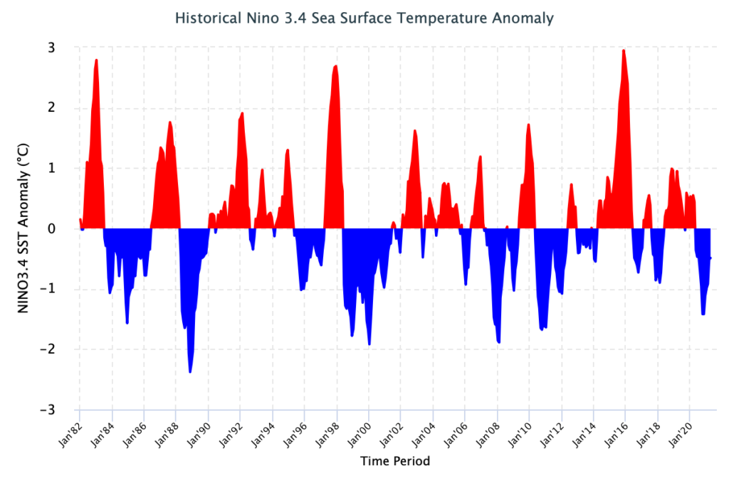
Looking out towards Fall and into the Winter months, it’s looking dry and warm to start. Models have moved from a neutral winter to forecasting a la Nina to set up again.
Kind of early to jump on how strong it could be. Mammoth and the central Sierra have done good with weak La Nina’s, not so bad with moderate ones but if it’s strong again expect a drier year.
Snowman
Mammoth Ski Patrol Weather Station


Window-cast from the Mammoth Lakes Airport Webcam
Live Radar View of Central California
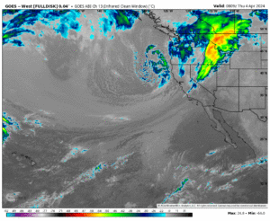
GOES Satellite View of California and the West Coast
HRRR Temperature Forecast
HRRR Precipitation Forecast
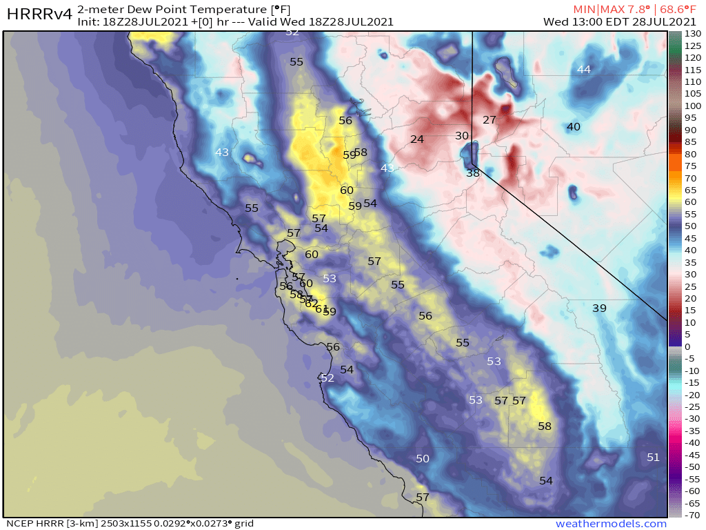
HRRR Current Dew Point
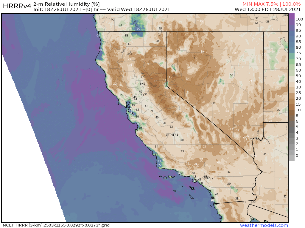
HRRR Current Humidity Levels
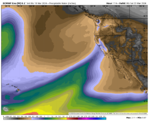
Precipitable Water
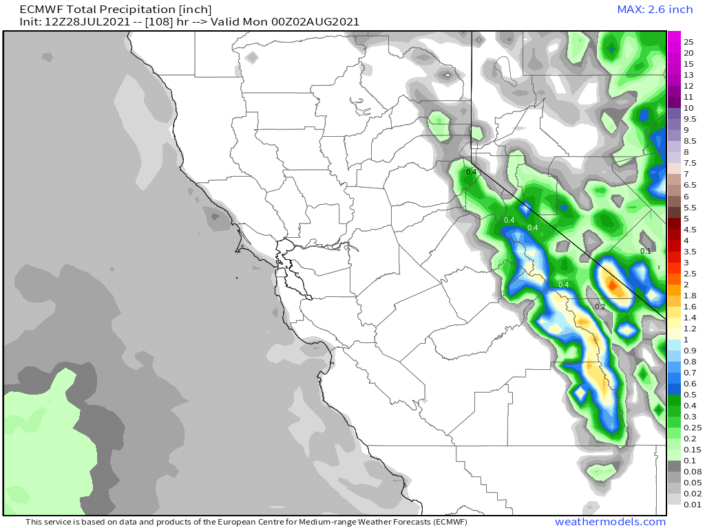
ECMWF Accumulated Precipitation
ECMWF EPS Ensemble going out 10 days / 240 hour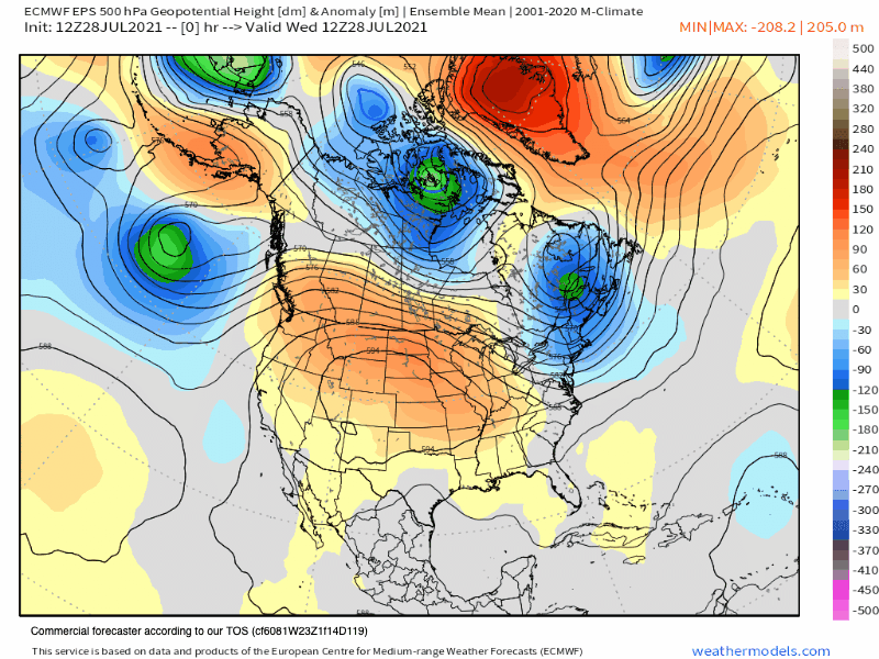
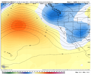
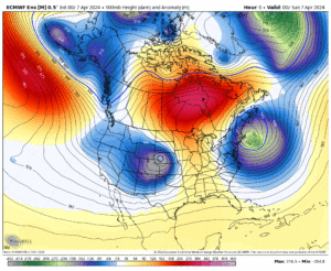
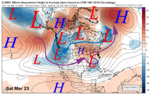
Temperature Anomaly Outlook
Precipitation Anomaly Outlook
___________________


")

Who Are We?
 Steve Taylor – Mammoth Snowman – Over the last 30+ years, Snowman has spent countless hours studying and learning about Mammoth Mountain Weather and Snow Conditions first hand. He has been skiing around the hill with marked ski poles since March of 1991 so he can measure the fresh snowfall amounts out on the hill.
Snowman started blogging this information back in 1990 on the old Mammoth BBS system, then the RSN Forums and then on to MammothSnowman.com in 2004 with Video & Photo Blog report. (No YouTube back then). Facebook got added to the fold back in 2008 and then the Facebook Group in 2016.
Reports, videos, and photos from the website have been featured on both local TV Stations here in Mammoth, along with AP, Fox, ABC, CBS, and NBC News.
 Ted Schlaepfer – Mammoth WeatherGuy – The Powder Forecast – Posted Tuesday and Fridays at 5 PM November into Mid May. These forecasts are now responsible for many people getting multiple powder days on Mammoth Mountain over the years.
Ted’s Bio: Ted has been a full-time Meteorologist (CCM) for the past 25+ years. He has always been fascinated with the weather,” skiing was just a natural extension of my love for snow and rain. I started skiing at age 5, first discovered Mammoth in 1979 as a youth, and have been a regular visitor since the late ’80s.”.
Here is the link to The WeatherGuys Powder Forecast Page.
Click Here to Learn More About the People Who Make MammothSnowman.com a Reality


