Mammoth Mountain / Eastern Sierra Weather Forecast & Discussion

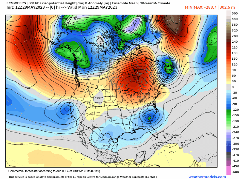
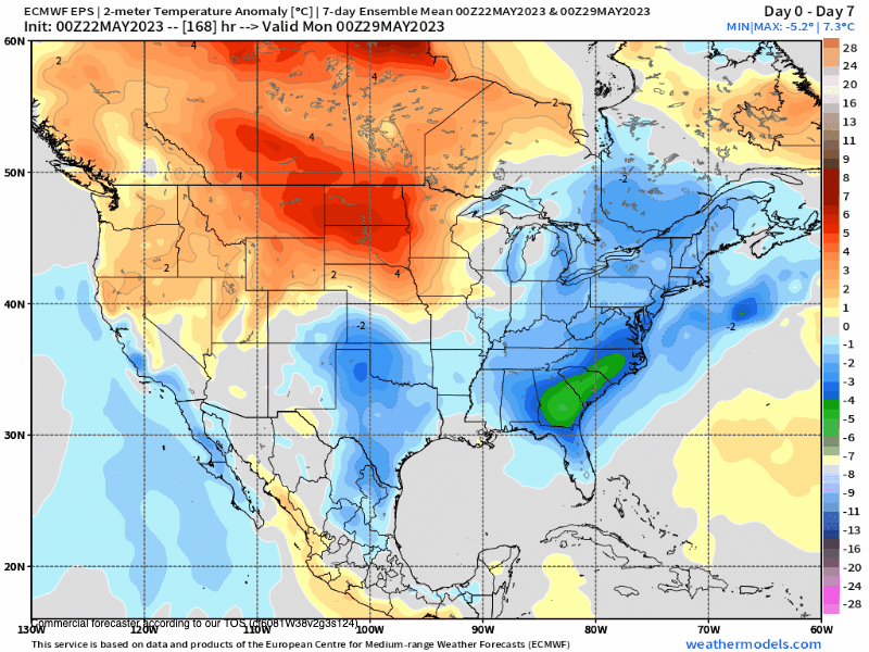
Monday, May 29th, @ 2:42 PM – Weather Forecast for the Week – A cut-off low will bring cool weather with a chance of afternoon and evening thunderstorms into Thursday. Some weak ridging will be in the area by Friday and Saturday, and you can expect clear skies.

A second cut-off low will bring more Showers and T Storms chance starting next Sunday. Overall the Thunder Storms are hit and miss, and Mammoth Mountain will have a 40-60% chance of seeing raindrops with snow pellets possible around the 9000 – 11,000 foot level.

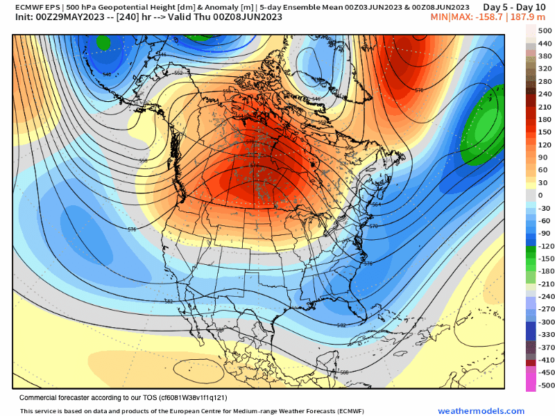
By the weekend, some weak ridging will be in the area, and you can expect clear skies with warmer daytime temperatures right into Memorial Day Weekend.

A few words of caution from the NWS, with the increased thunderstorm potential this week comes the threat of dangerous lightning, gusty outflow winds, and localized moderate to heavy rainfall. Be prepared to take shelter if you are recreating and see build-ups in the area.

While the temperatures this week will be cool, snow melt will continue to flood area waterways running high, fast, and cold. With the high water flow, you want to keep yourself, your family, and your pets away for all water flow over the next few months.

Mammoth Mountains Main Lodge at the 9000 Foot level will see highs into the mid-50s with lows in the mid-30s at night. Mammoth Lakes will be in the upper 50s to lower 60s. Crowley Lake / Tom Place is expected to see tempratures in the low to mid-60s.

In Bishop and the Round Valley areas, afternoon highs will be in the upper 70s to lower 80s, with early morning lows into the mid to upper 50s.

Snowman

5-29-2023 – The 10-day outlook calls for two cut-off lows to affect Mammoth Mountain and the Eastern Sierra.

The result will be cooler than average weather, with temperatures at the 9000-foot level in the low to mid-50s with overnight lows in the mid-30s. Snow melt will be minimized under this 10-day pattern.

Along with the cooler temperatures, there will be a chance of afternoon showers and thunderstorms each day.

The long-range fantasy outlook to July 4th has troughing over the west with no major domes of high pressure to be seen yet.

Most years, it’s right around the July 4th holiday when you get the four corners high setting up, and then it gets humid and hot during the afternoons for a couple of months.

For now, enjoy the extended cooler spring-type days while they last. The good news for Summer is the temperatures look to be overall about average to possibly cooler than average.

> FYI: I will be updating the long-range data once a week over the summer months.

Snowman

14-km EPS Global North America 500 hPa Height Anom
0- 10 Day - EPS 500 Height Anomaly

Below is the ECMWF 45-Day Ensemble Mean from Day 10 to the July 4th Holiday. You can see that troughing is forecasted overall for June up to the beginning of July. That will keep the Eastern Sierra and Mammoth Mountain in the cooler-than-normal range overall for that time. It sure beats the excessive heat waves we have seen in the last three years.

14-km EPS 46-DAYS North America 5-day Avg 500Z Anom
Jet Stream Wind Speeds at 300 hPa

The EPS Ensembles show a chance of precipitation from Thunderstorms through the 15 day forecast period.

14-km EPS USA California Total Precipitation
9-km ECMWF USA Cities Central California 24-h Snowfall

The 45-day EPS ensemble model shows cool temperatures for the first three weeks of June. Let’s hope that outlook comes true so the heat does not come on too early this Summer. 

Long Range Seasonal ECM Model from Early March – Next run on this Model is June 5th

ENSO Outlook – Updated on May 29th

Mammoth Mountain and Eastern Sierra Weather Posts