
Mammoth Mountain / Eastern Sierra Weather Forecast & Discussion
Recreational Weather Forecast: August 20th, 2023 – Good morning; the weather over the past week has been cool, with isolated Thunder Storms at times. Over the last 24 hours, prefrontal moisture from Hurricane Killaery moved thru the area and produced .30 inches of rain at the Mammoth Mountain Snow Study site. Over the previous 24 hours, all areas of Mono and Inyo counties have seen rain.
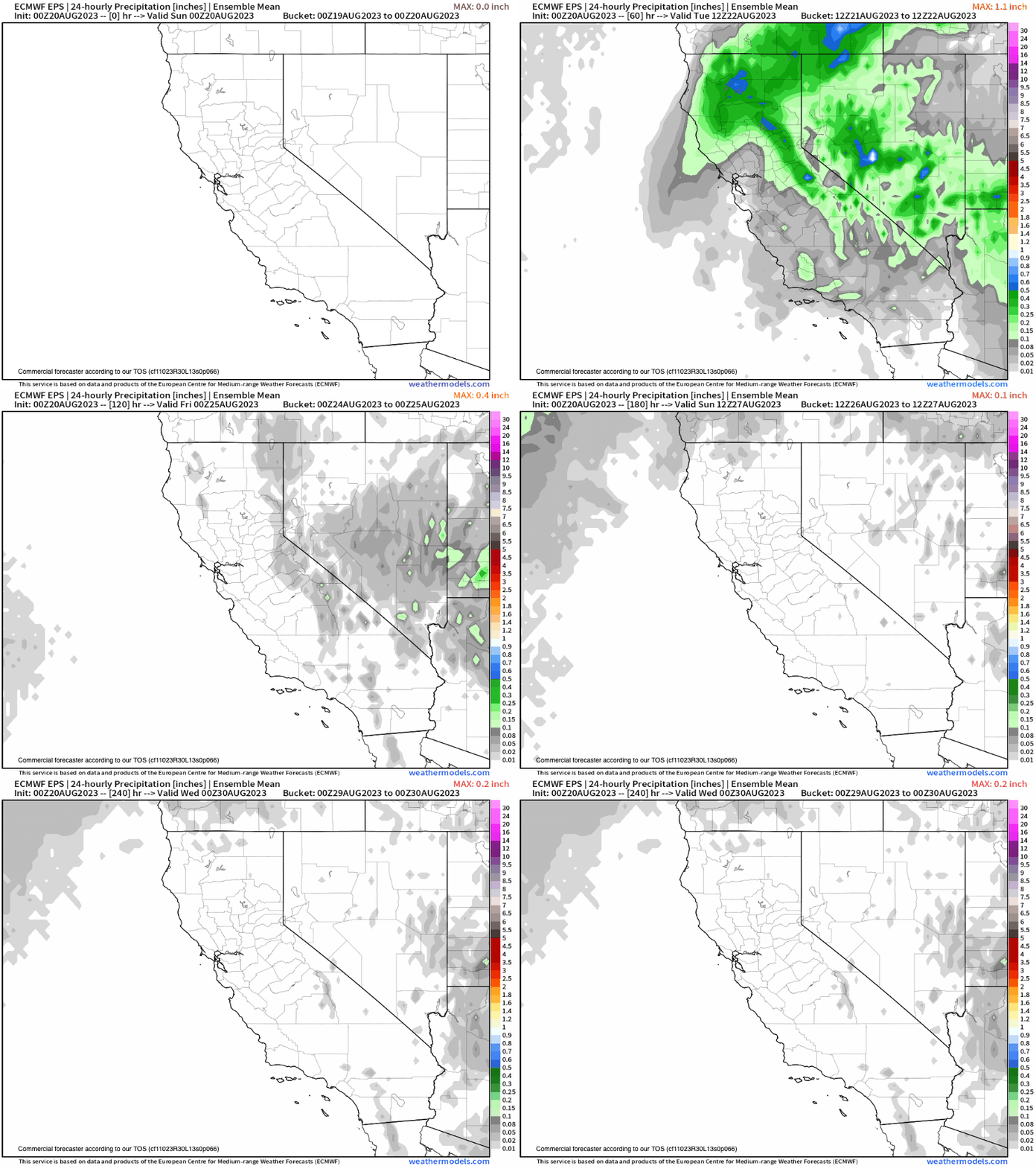
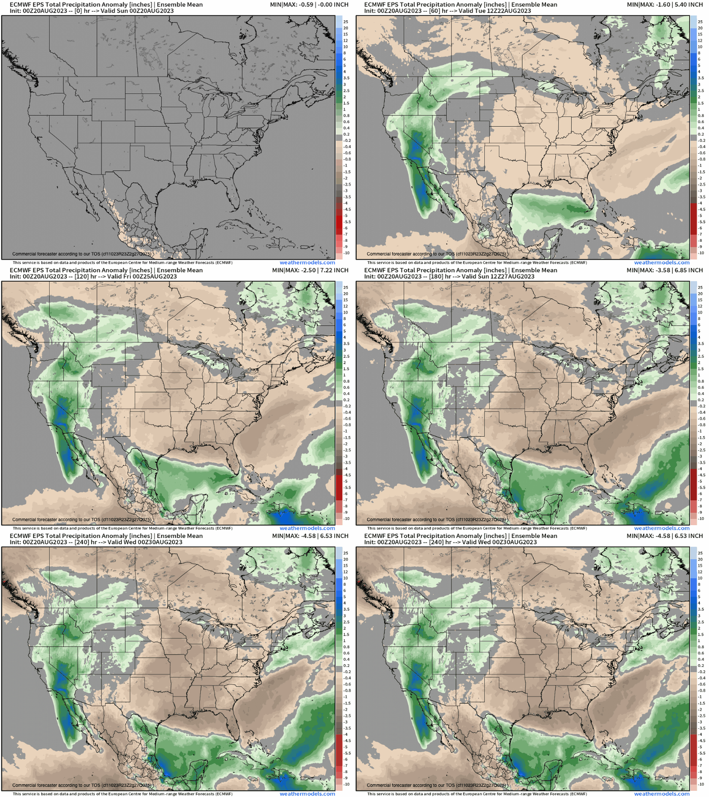
How much rain might we see over the next 24 hours? 2-4 inches is what the models are showing this morning.
As the Main Events moves in later today into early Monday, expect moderate to heavy rain to move through the area. Of most concern is 395 through Inyo County, where you can expect to see mudslides and road closures over the next 48 hours. My advice is NOT To travel to the area until Tuesday, and make sure you check with cal trans before you leave to make sure you can get here.
For Main Lodge & Areas at the 9000-foot level, expect cloudy skies with an 80% to 100% chance of rain through early Tuesday. Expect mid-day temperatures to be in the mid-50s with nighttime lows in the mid to mid-40s.
Winds will be light to moderate out of the S to SW at 5-15 MPH, with gusts to 20-45 MPH into early Tuesday. Beyond Tuesday, temperatures will be in the upper 50s to lower 60s into Friday.
For Mammoth Lakes, expect cloudy skies with an 80% to 100% chance of rain through early Tuesday. Temperatures mid-day to be in the mid to upper 50s with nighttime lows in the low to mid-40s. Winds will be light to moderate out of the S to SW at 5-15 MPH, with gusts to 20-45 MPH into early Tuesday.
Crowley Lake to Toms Place expects cloudy skies with an 80% to 100% chance of rain through early Tuesday. Temperatures mid-day will be in the mid to upper 50s with nighttime lows in the 40s. Winds will be mostly light out of the SW at 5-15 MPH with gusts to 20 MPH in areas near active thunderstorms.
For Bishop and the Mill Pond areas, expect cloudy skies with an 80% to 100% chance of rain through early Tuesday. Temperatures mid-day will be in the low to mid-90s, with late-night lows in the lower 60s. Winds will be mostly light and variable at 5-15 MPH, with gusts to 20 MPH in areas near active thunderstorms.
Snowman

8-20-2023 – The Rest of the Week and the Long-Range Outlook
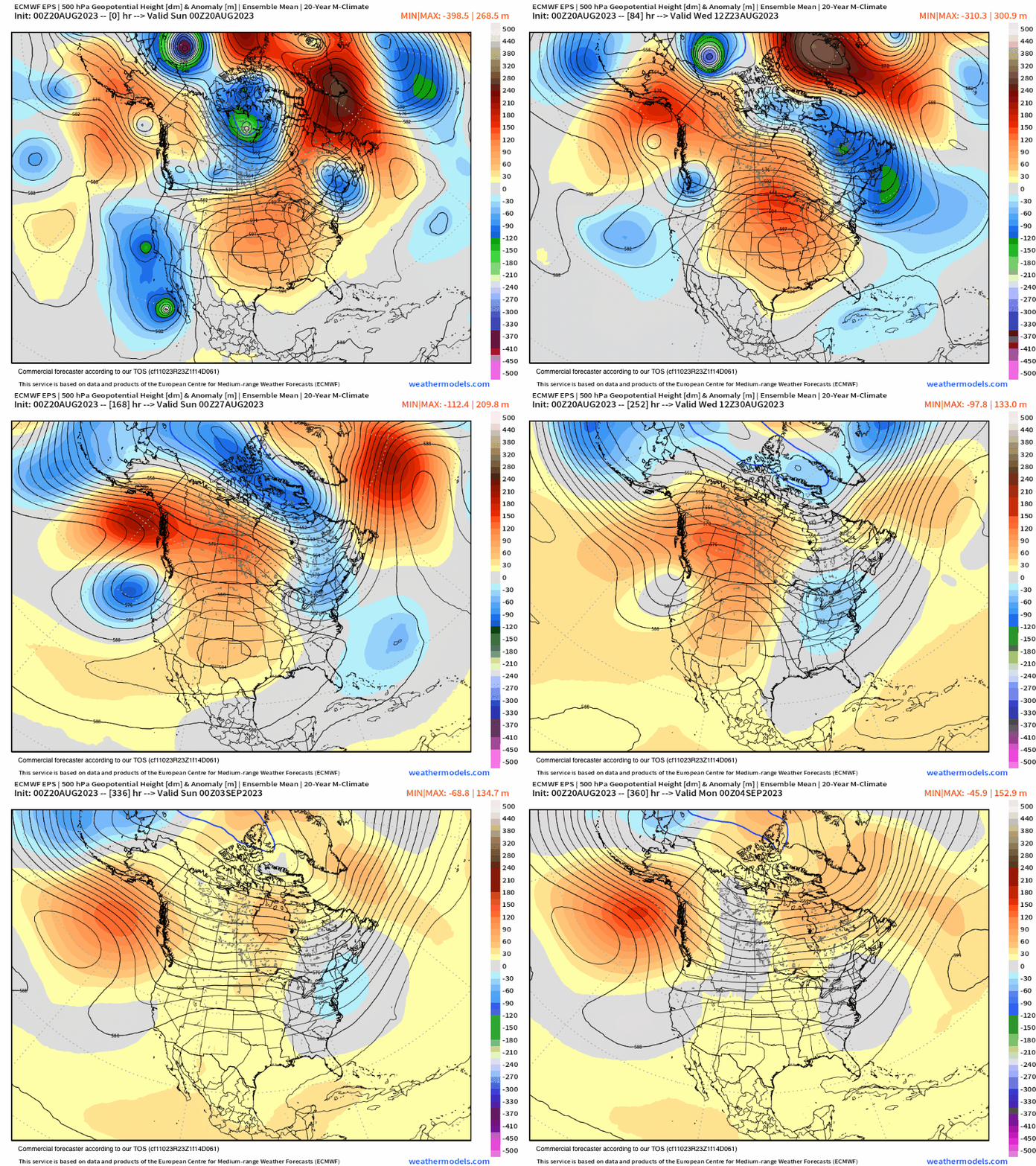
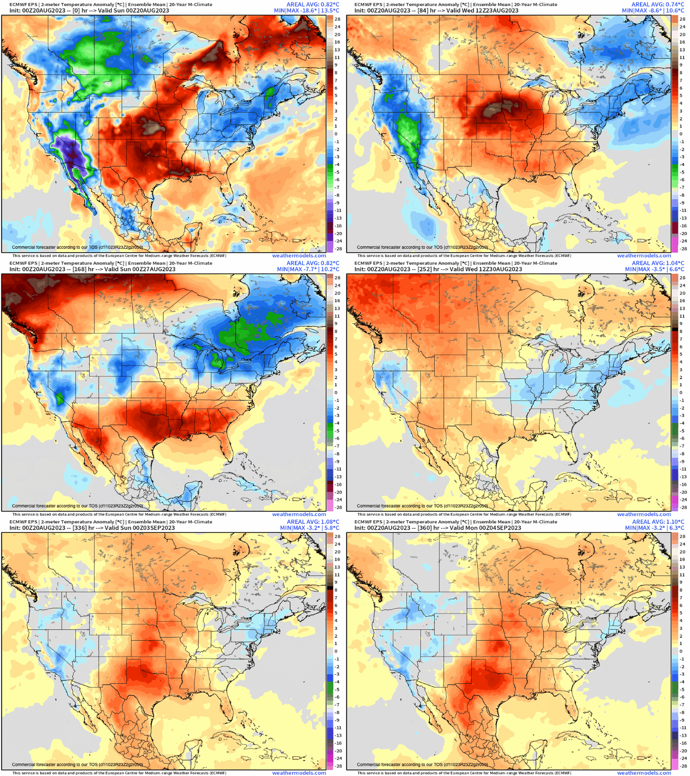
By Tuesday onward, the tropical system will be gone, and the Eastern Sierra will be left with a 20-30 % chance of thunders storms over the higher terrain. The rest of August looks to be cooler than average, making for a nice end to the Summer Season.
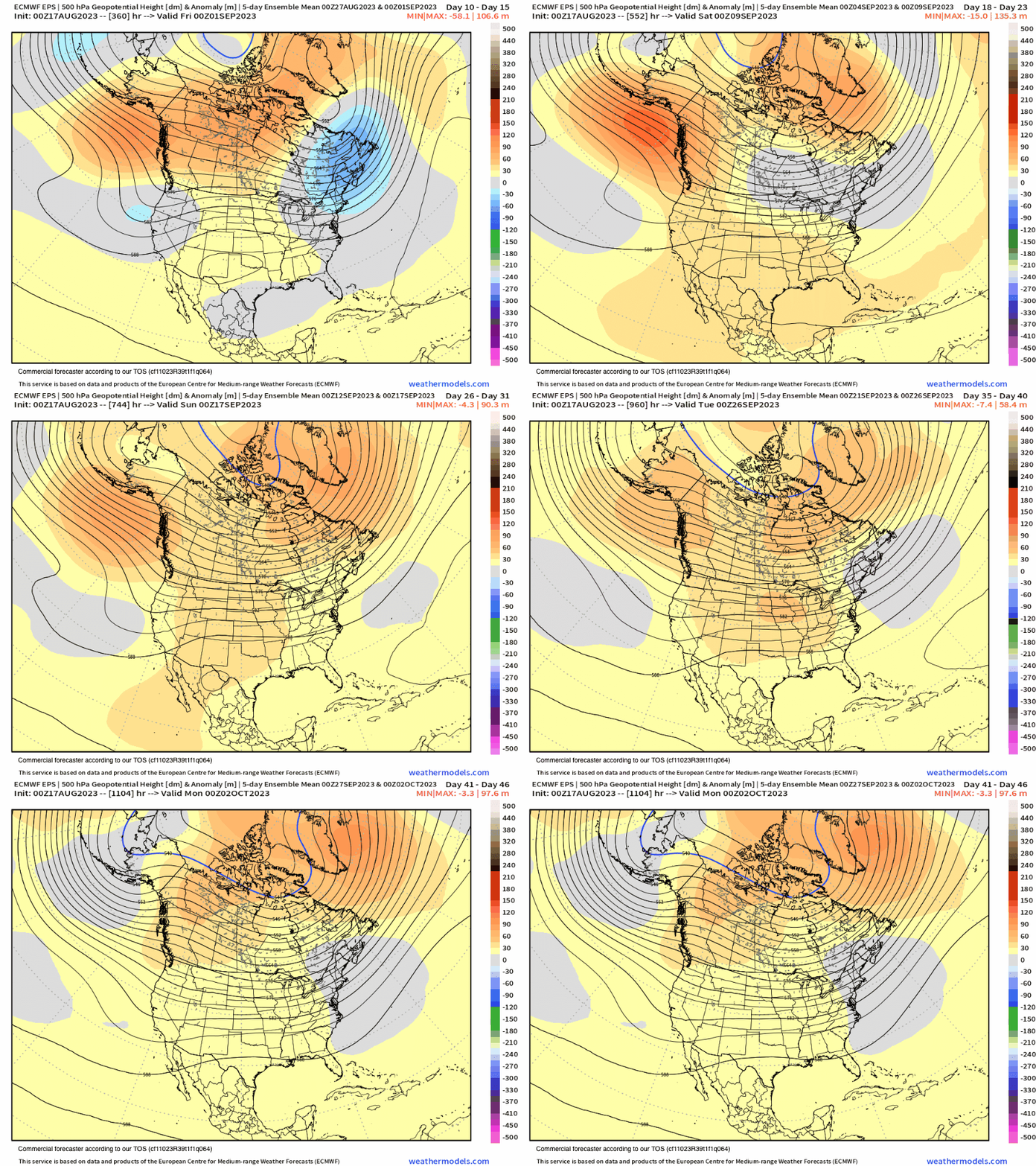
The Boreal Fall starts on September 1st with a month of average temperatures and mostly dry conditions expected. Most years, we do see the first Fall Trough tease with a dusting of snow around the 21st of September.
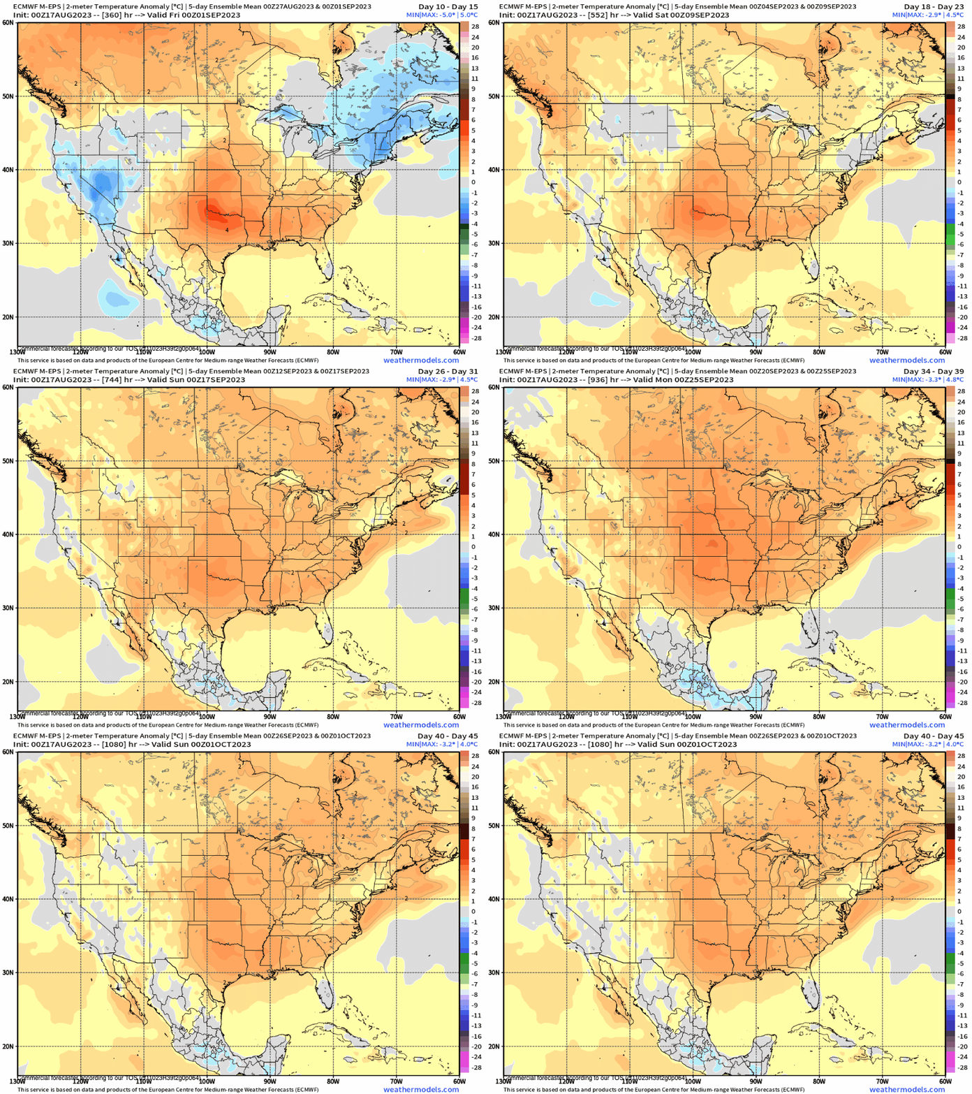
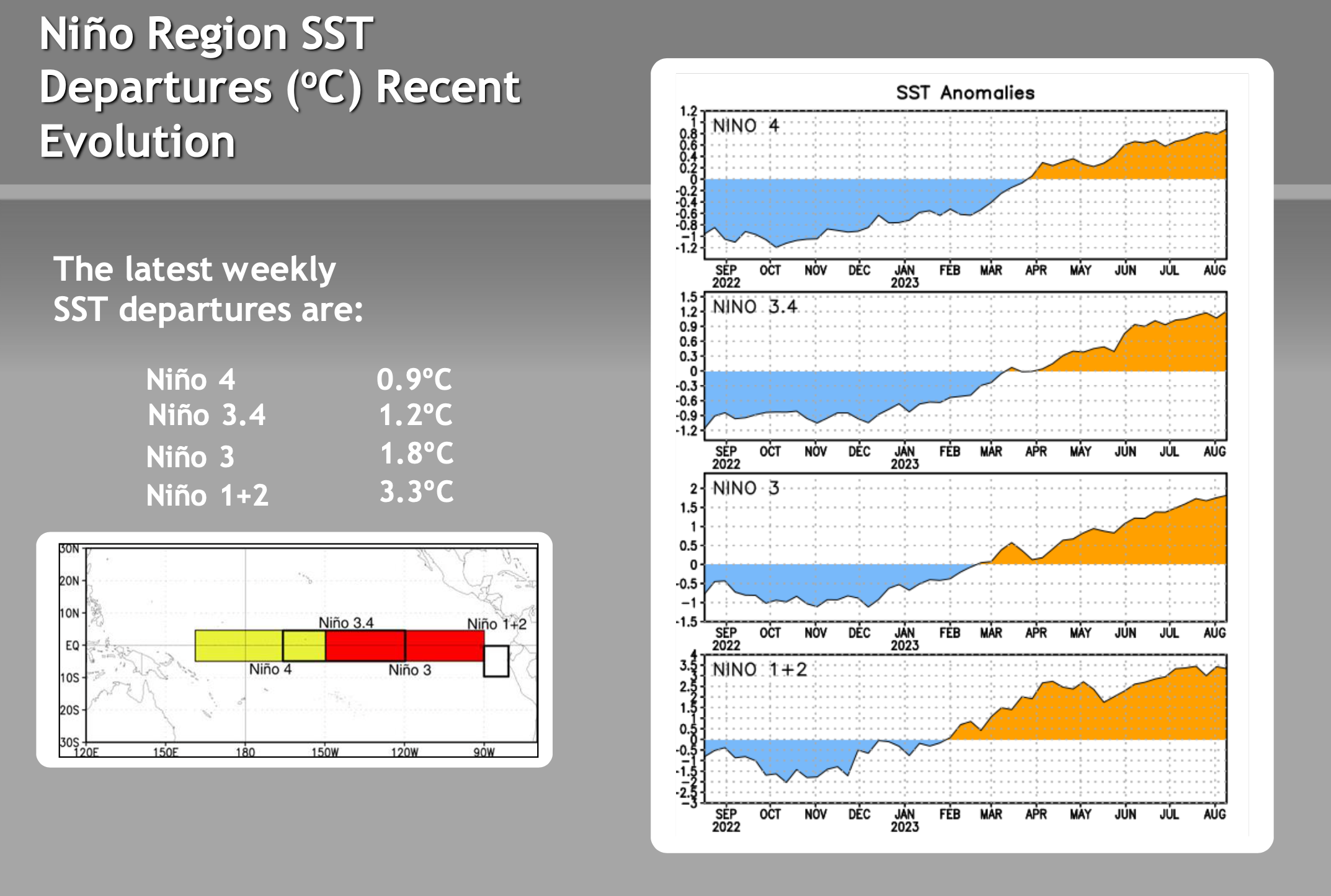
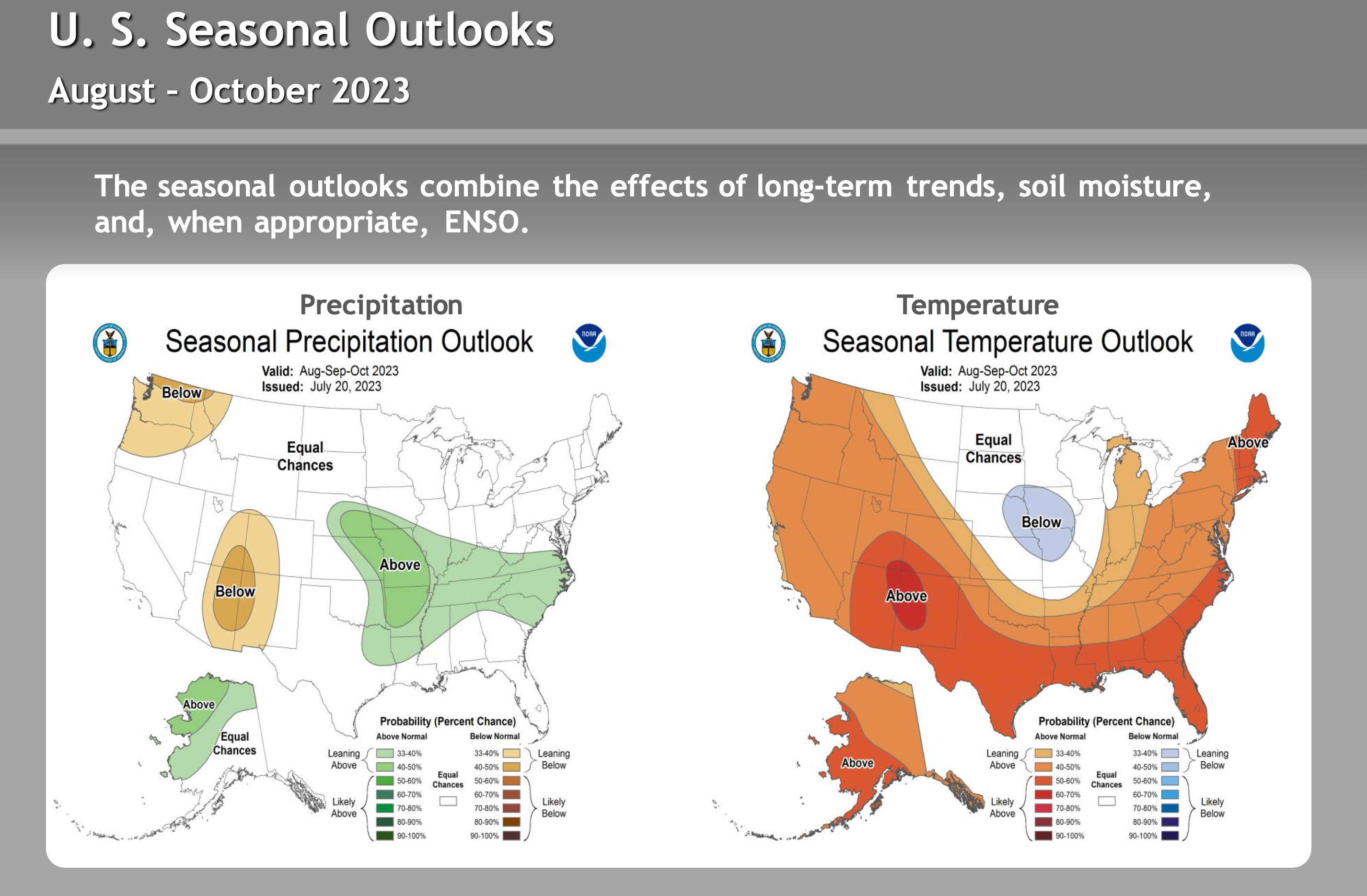
So far, long-range models are not picking up anything yet. I would expect that to change in a couple of weeks. Overall I expect the Fall to offer avarice to just above-average temperatures with drier conditions. El Niño is continuing to get stronger and remains east-based.
During events with that type of setup, Mammoth usably sees a first hit in November followed by dry weather until around the holidays, and then El Niño starts to bring in heavy base snow storms.
Some years it holds off until January, so be ready to be patient. The snow is coming. As of now, the call is for a 50% chance of an above-normal snowfall year with a 30% average and a 20% chance of below-normal snowfall. Still a bit early, so the outlook percentages could change by mid-October depending on what happens with El Nino over the next 60 days.
Snowman
Long Range Seasonal Outlooks
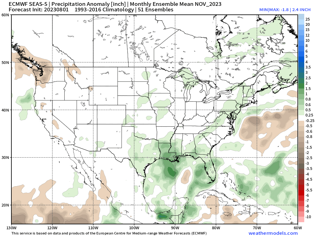
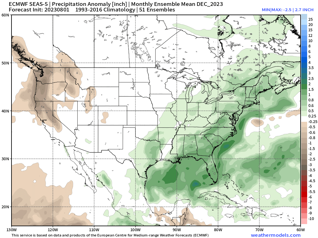
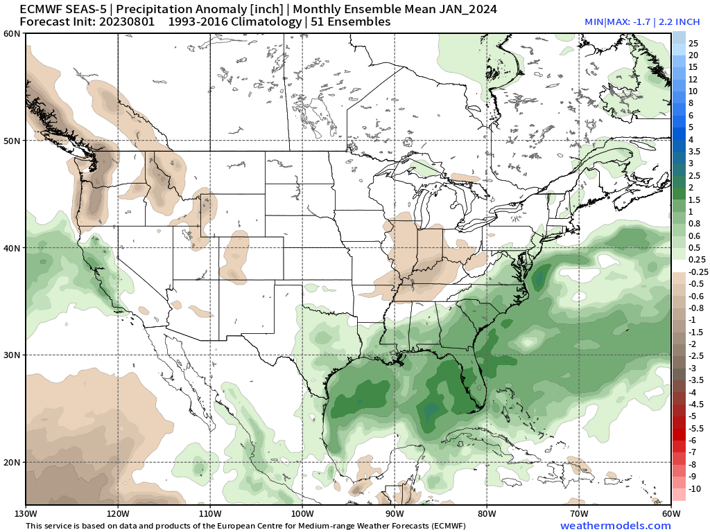
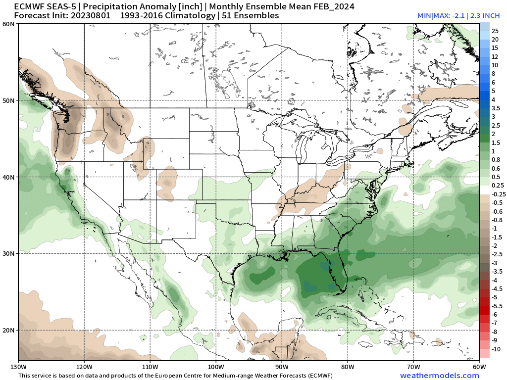
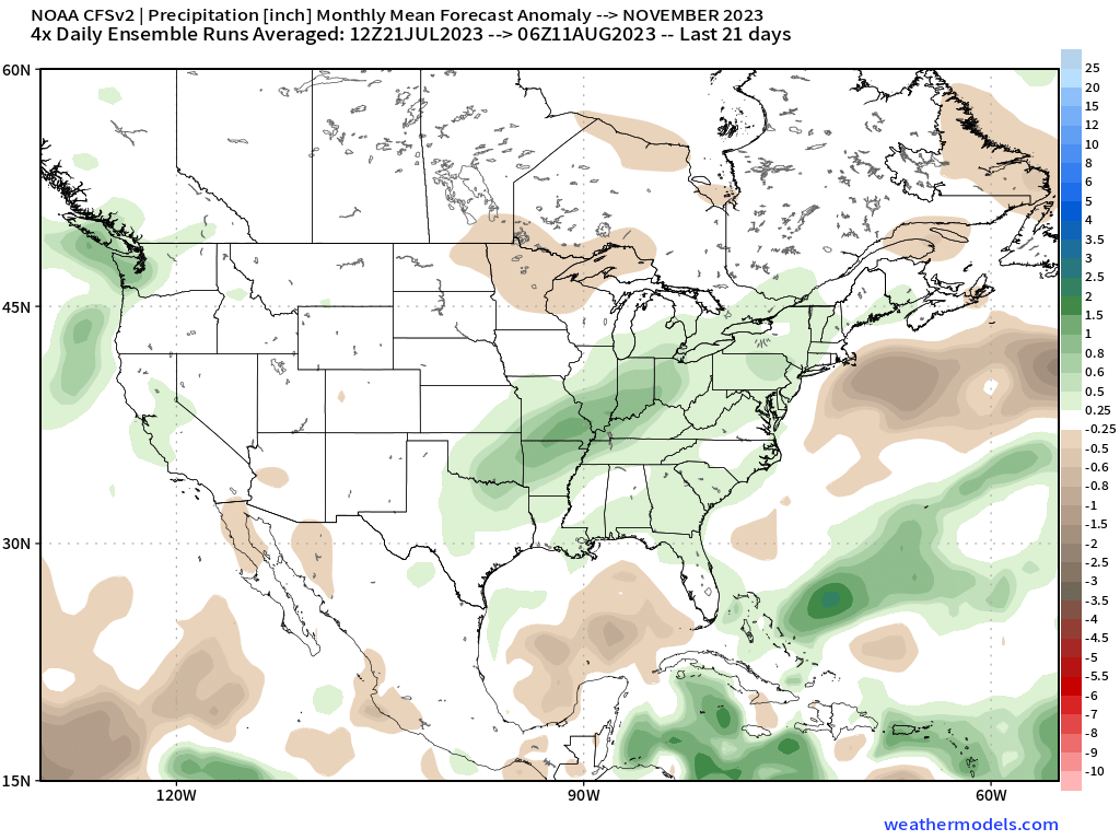
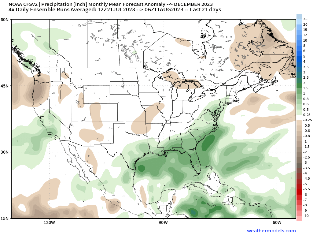
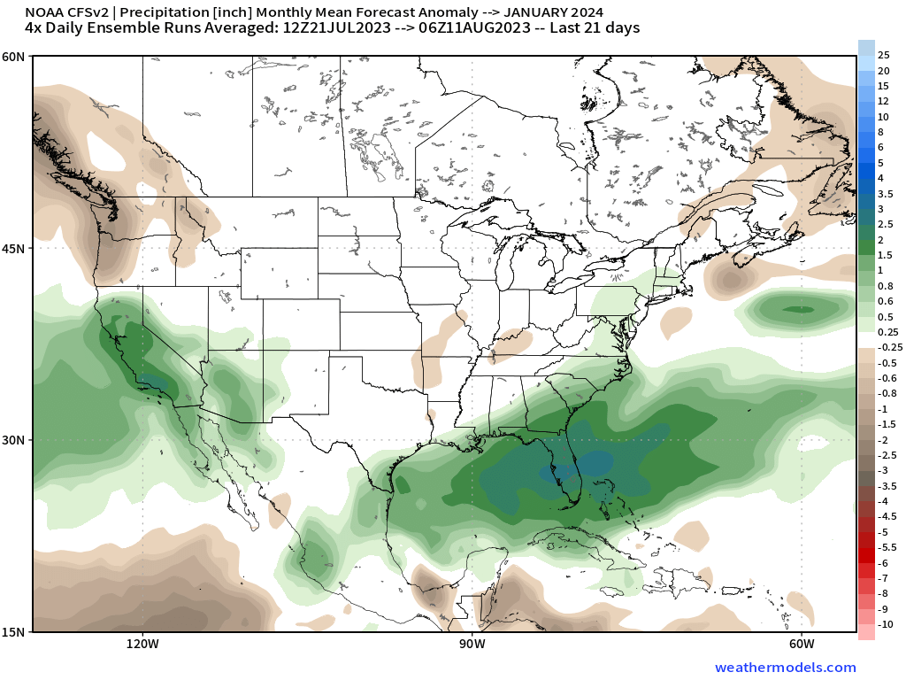
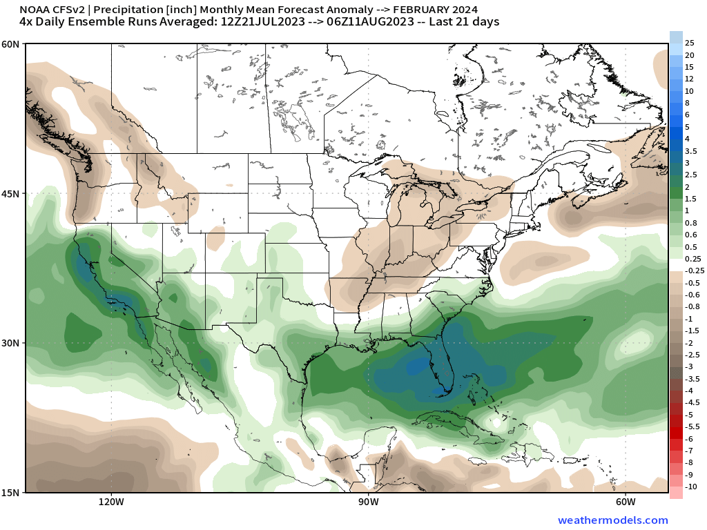
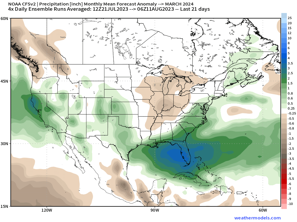
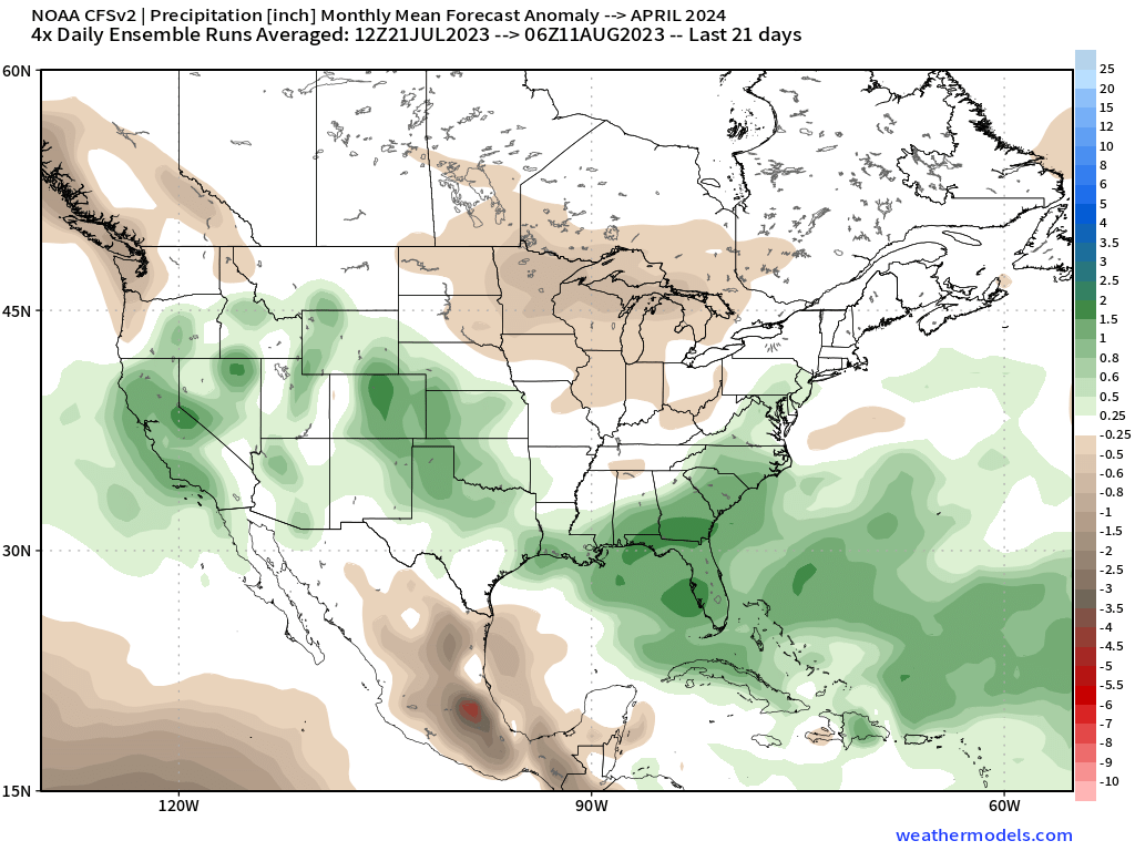
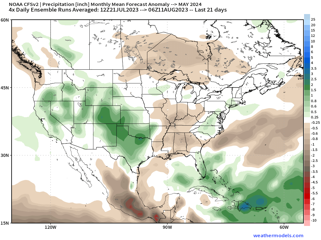
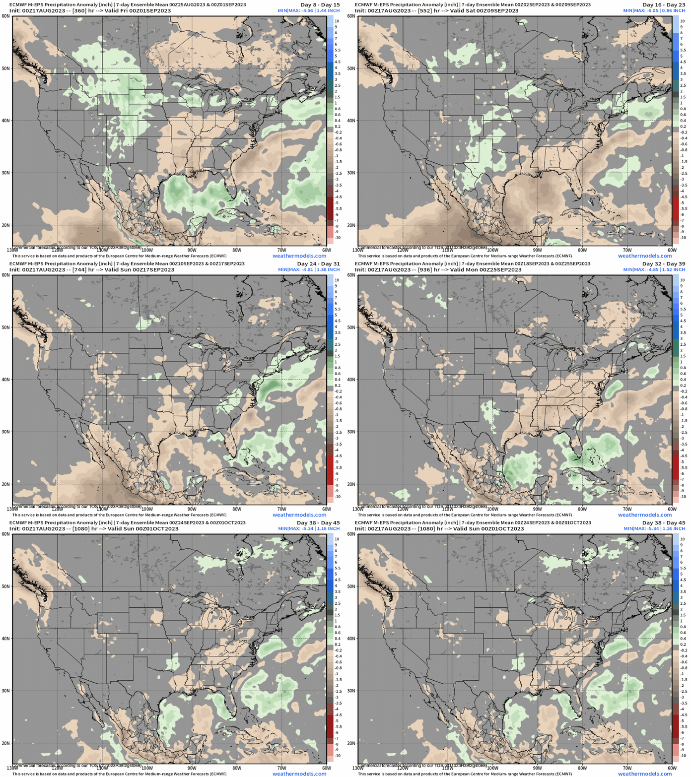
8-7-2023 – Our models of choice in the longest range are the ECMWF Seasonal and the CFSv2. The first model has an average winter with the later showing above average snowfall. Still way to early to buy into anything yet.
To note last year at this time the ECMWF seasonal was showing a wet winter while the media hype was impending doom of never ending drought.
How the next one pans out will be determined by where the El Nino is peaking come late this Fall into Early winter.
If it’s still an east based event and not central I would bank on high offs for heavy and prolonged snowfall again this winter. El Nino’s are warm so make sure you get a pair fat skis to slay the heavy stuff when it shows up.
ECM Model – Next run on this Model is September 6th
Long Range Seasonal CFS V2 – August 11th
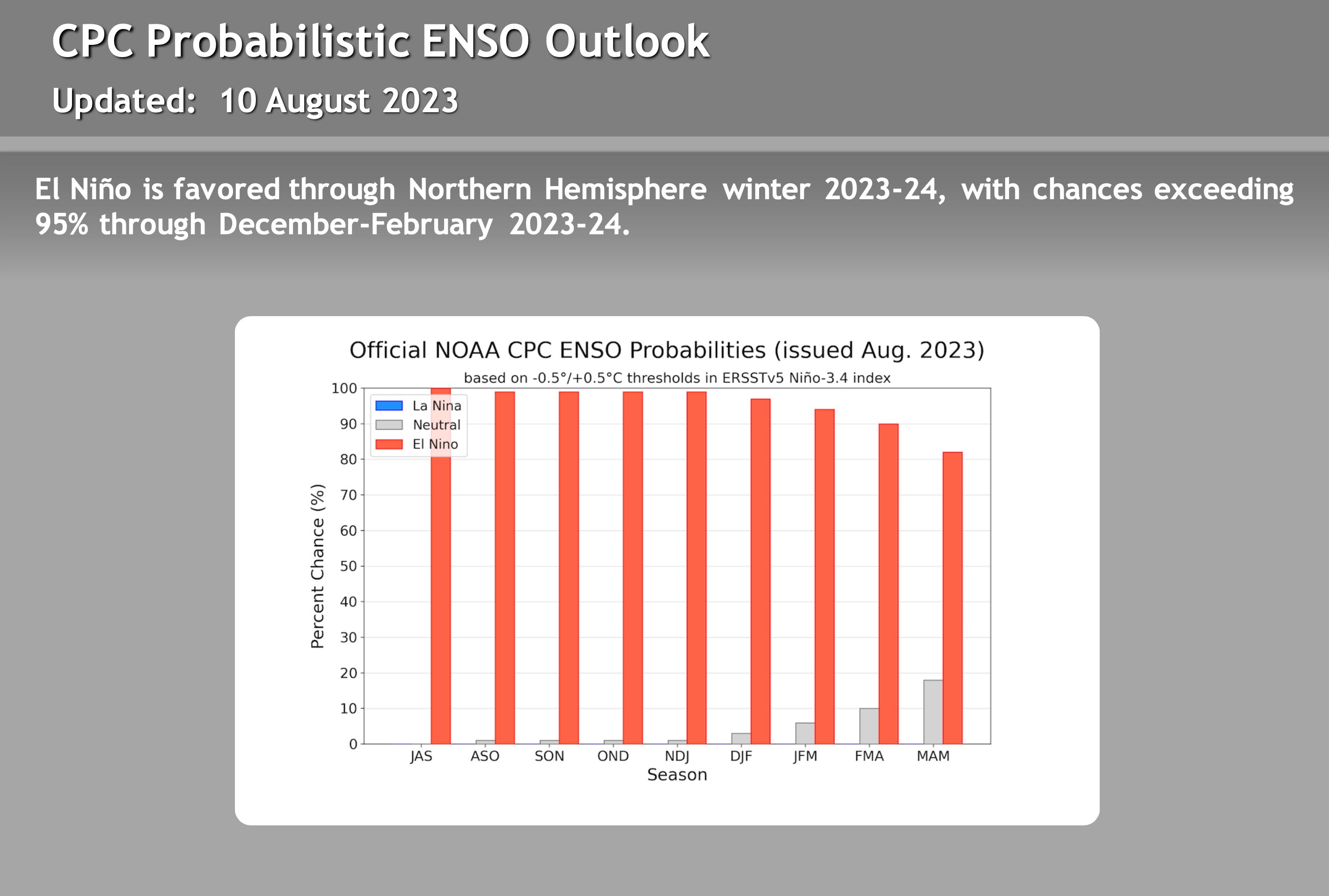
ENSO Outlook – Updated on July 29th
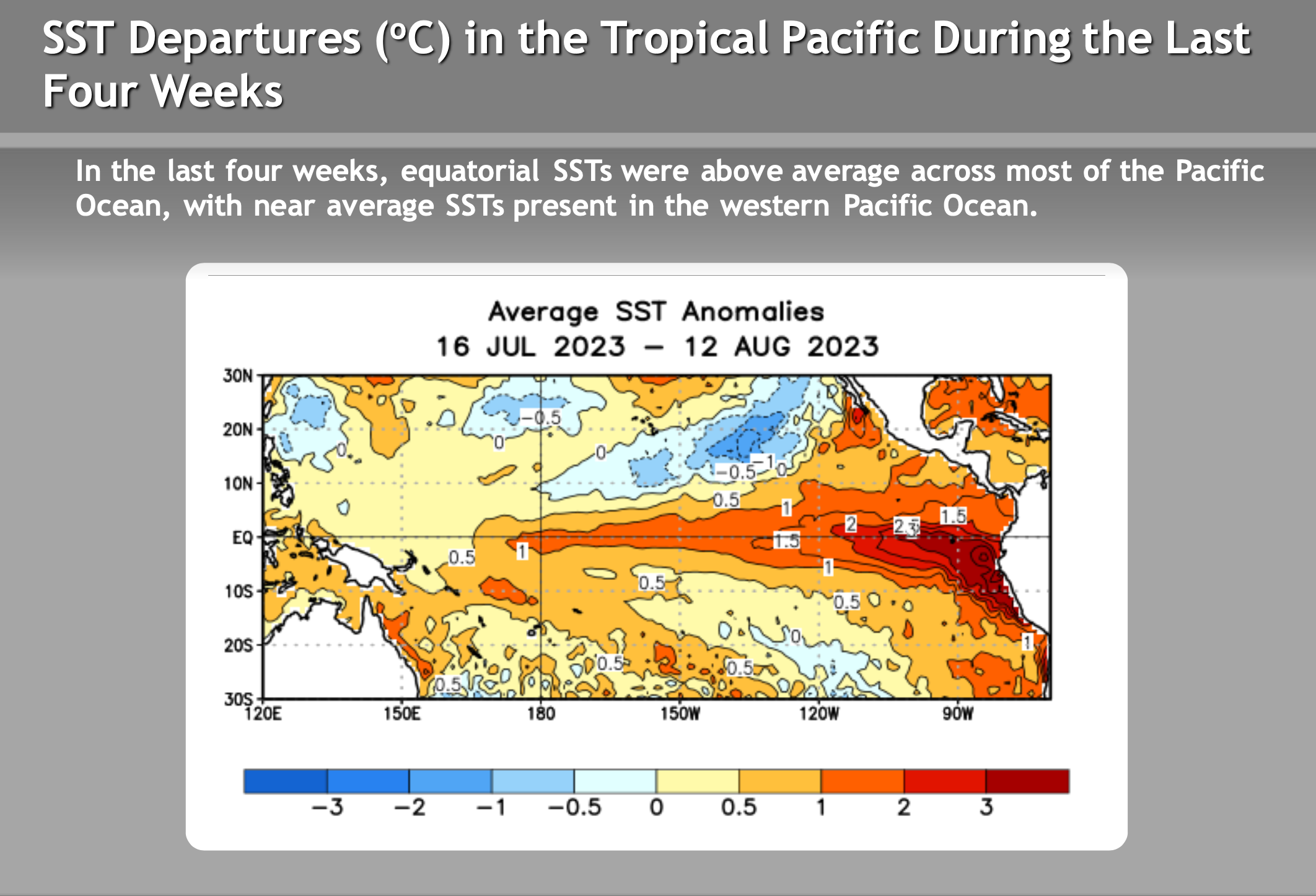
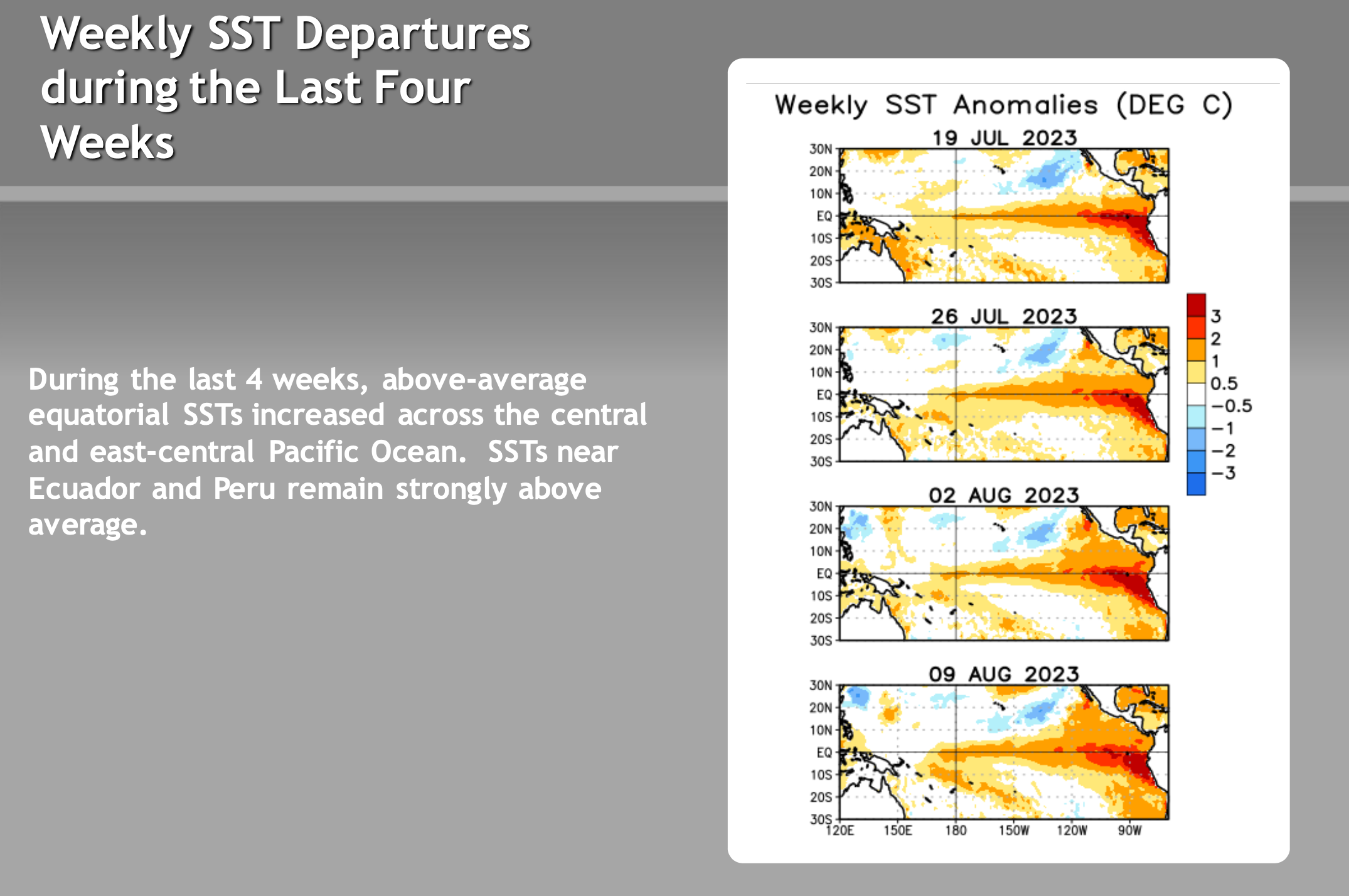
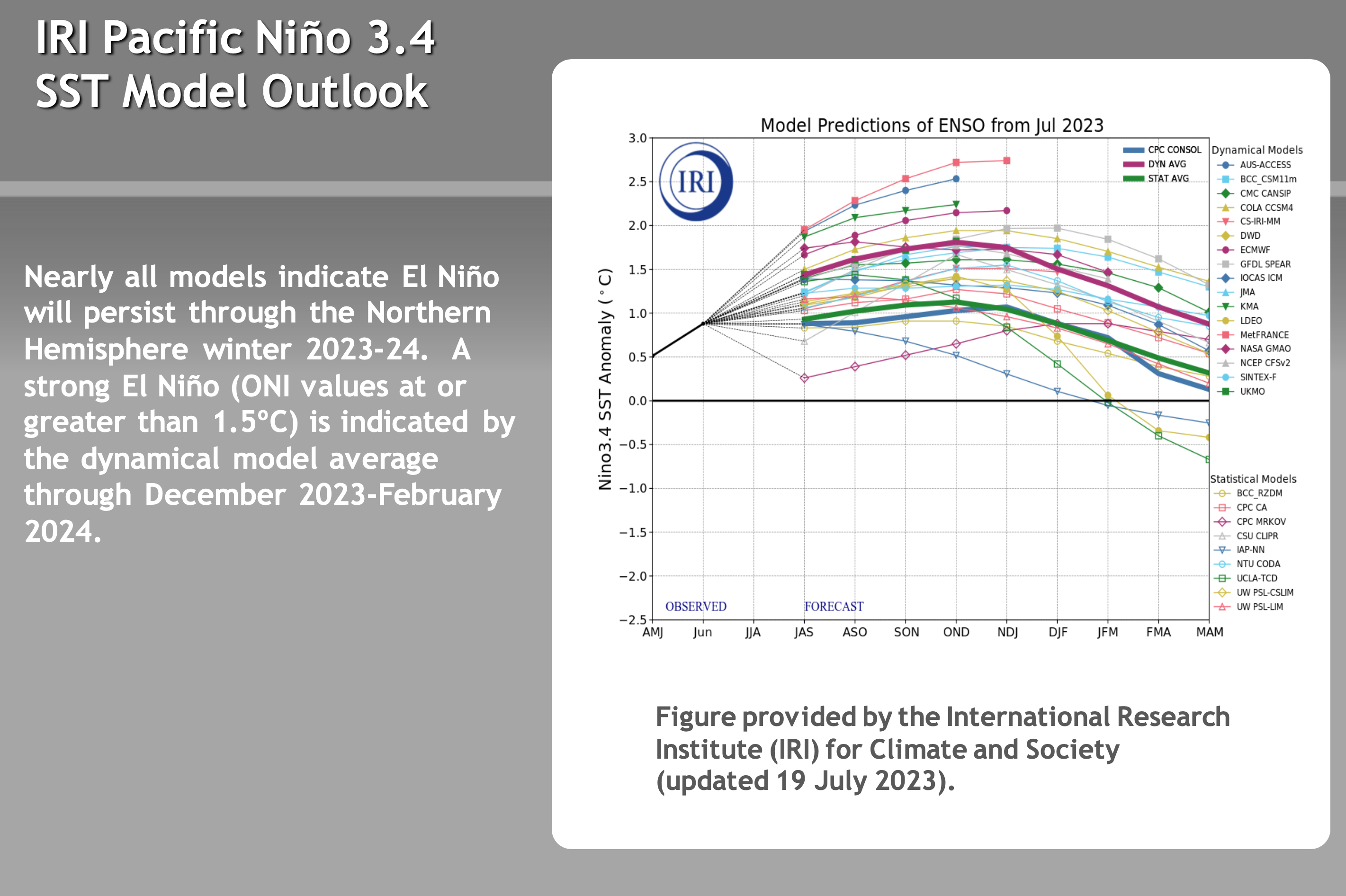
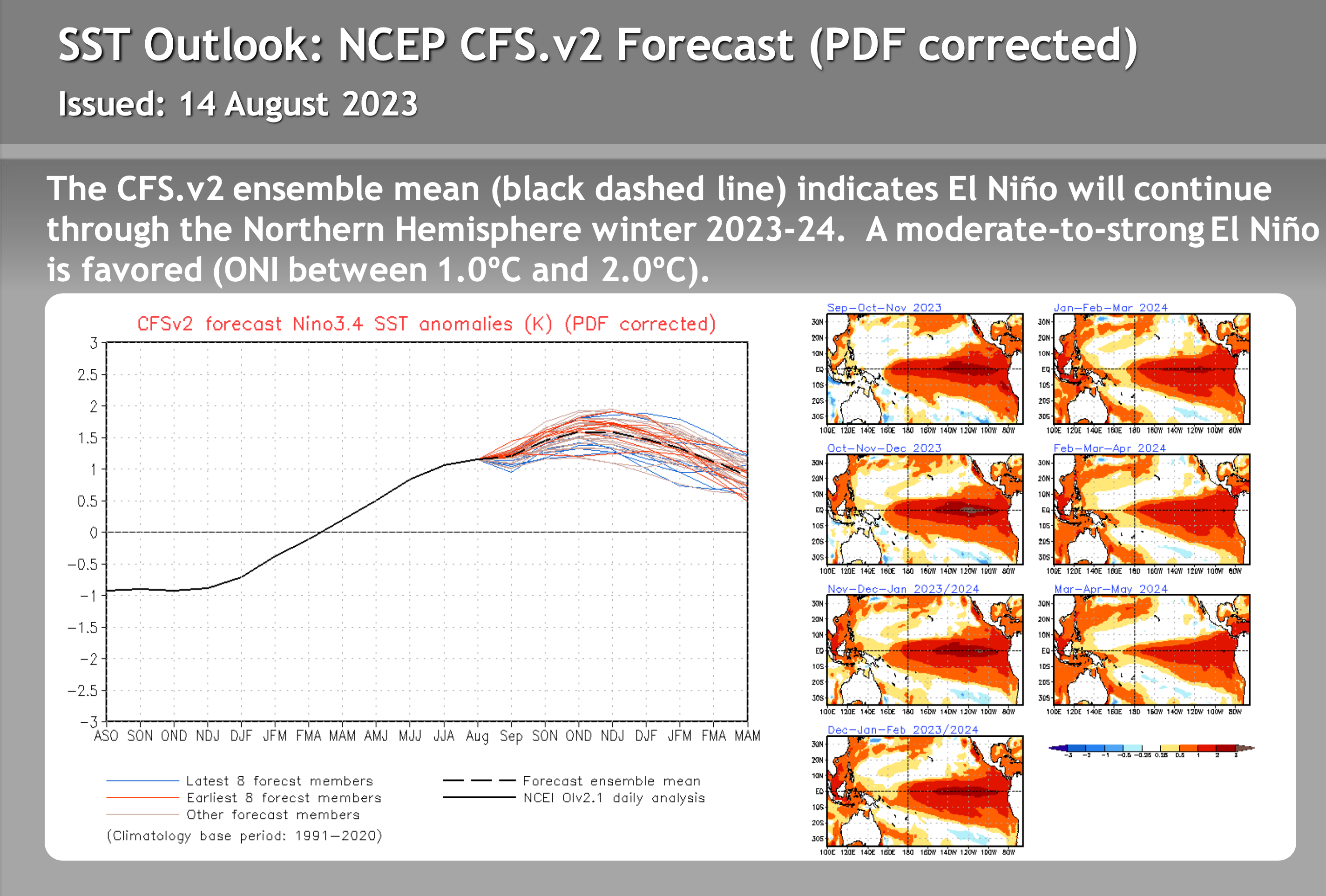
El Niño Update: The evolution of the El Niño continues with more of an Eastern based event that has developed quickly over the last 90 days. If this trend continues through the Summer and upcoming Fall months then its a good bet that we get a second above average winter.
To note, El Niño winters can be slow to start so don’t be surprised if the Eastern Sierra sees below average rain and snow this Fall. Don’t worry the CFS long range has wet weather January into April so the heart of winter on the CFS and ECM outlooks is looking great.
Mammoth Mountain and Eastern Sierra Weather Posts

Powder Forecast – Tuesday April 23rd, 2024
Powder Forecast – Tuesday April 16th, 2024
Mammoth Mountain Recreational Weather & Travel Forecast
Mammoth Mountain Recreational Weather & Travel Forecast
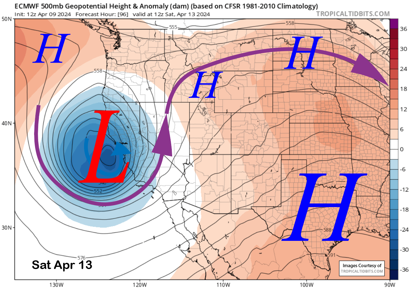
Powder Forecast – Tuesday April 9th, 2024
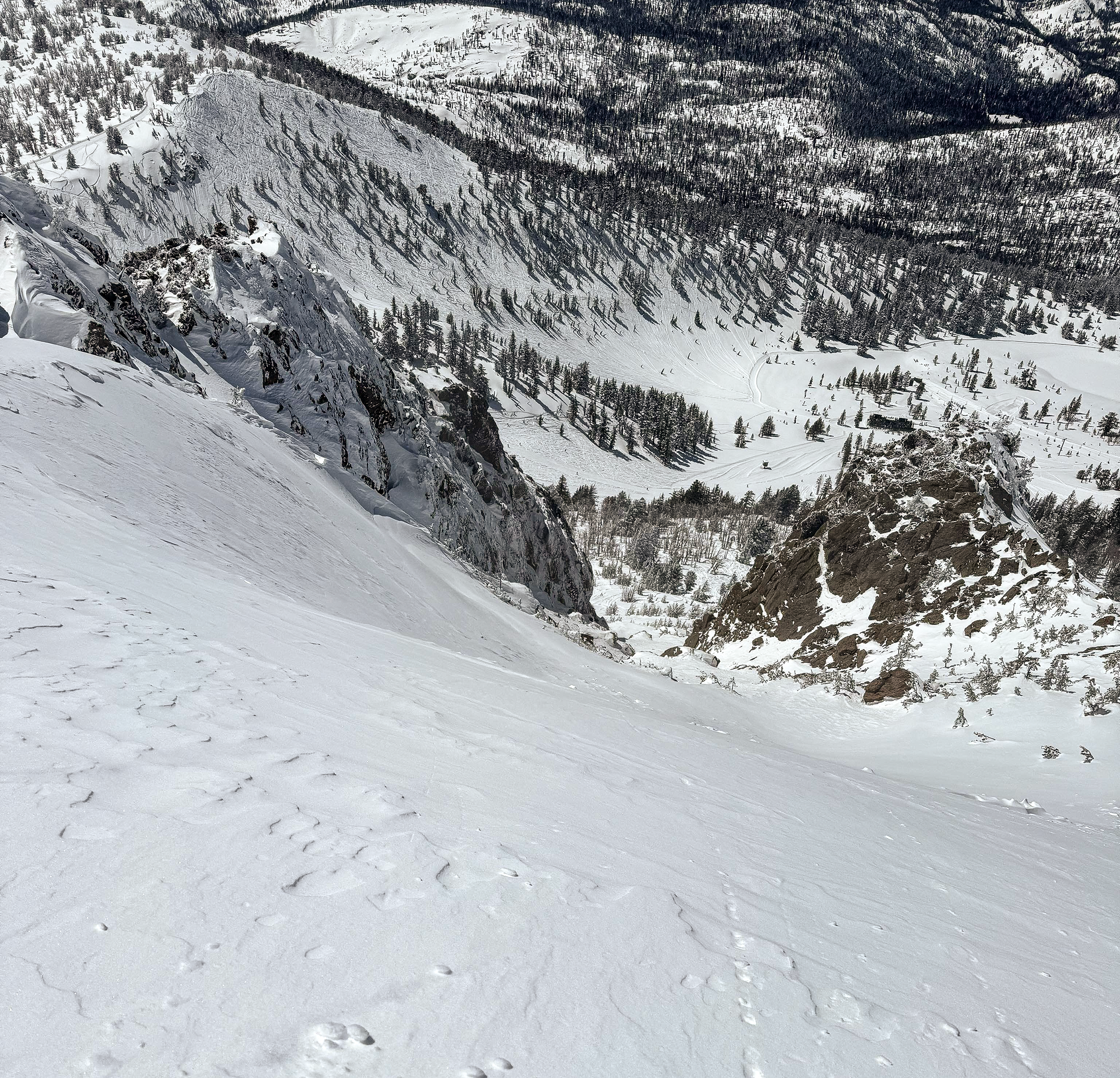
Sunday Morning Update from the Snowman
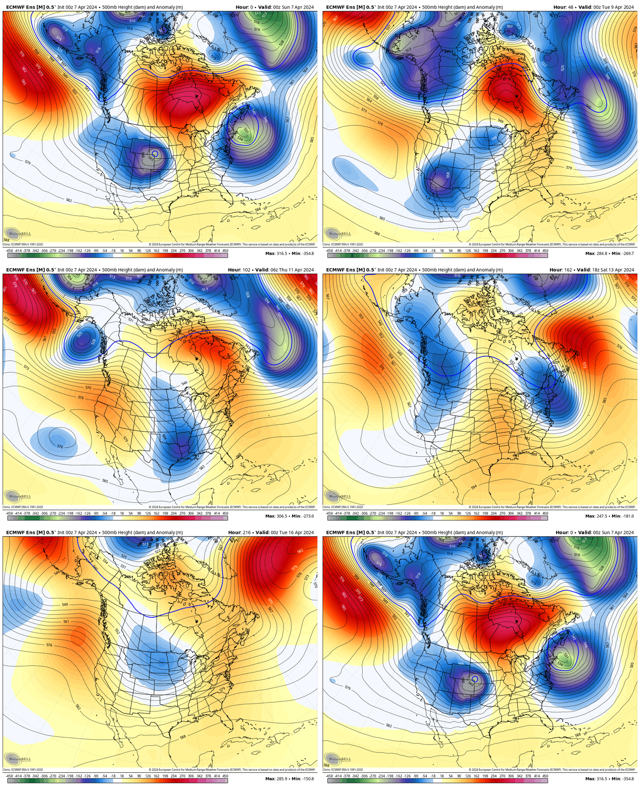
Mammoth Mountain Recreational Weather & Travel Forecast
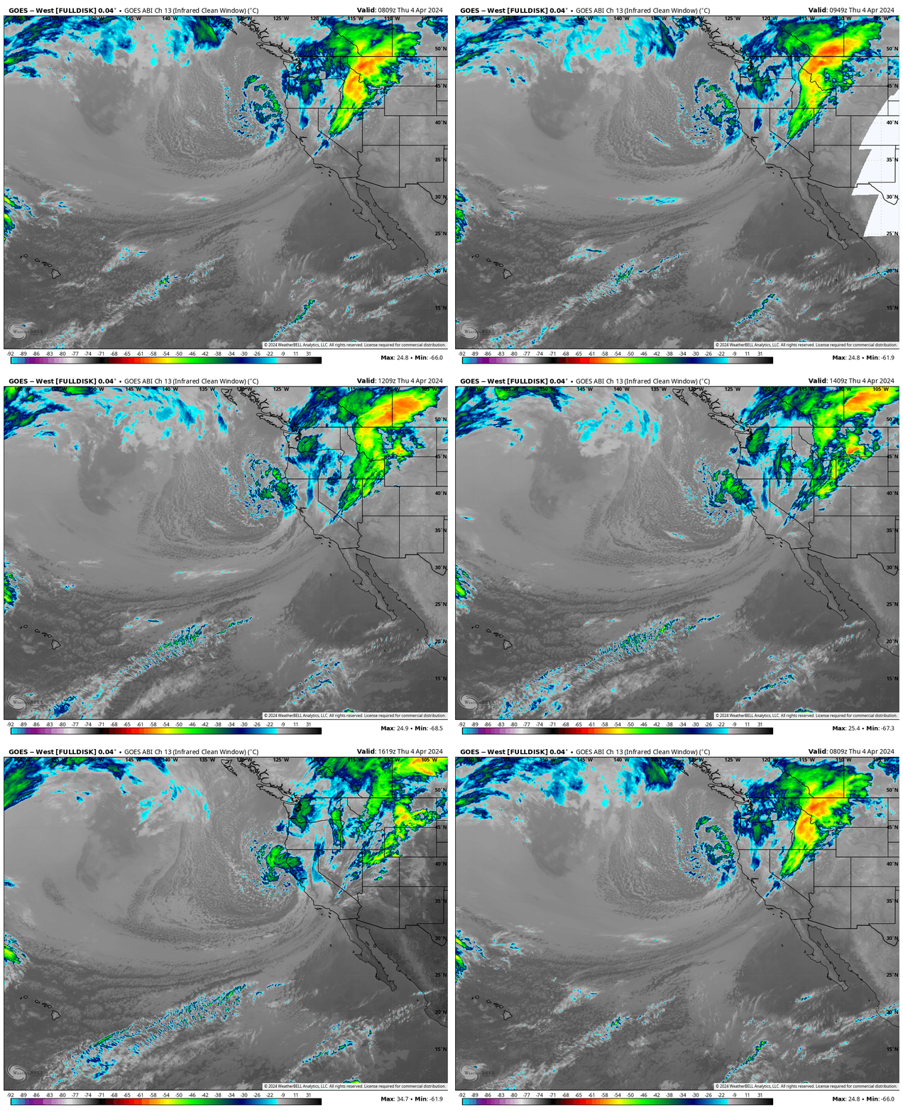
Mammoth Mountain Recreational Weather & Travel Forecast
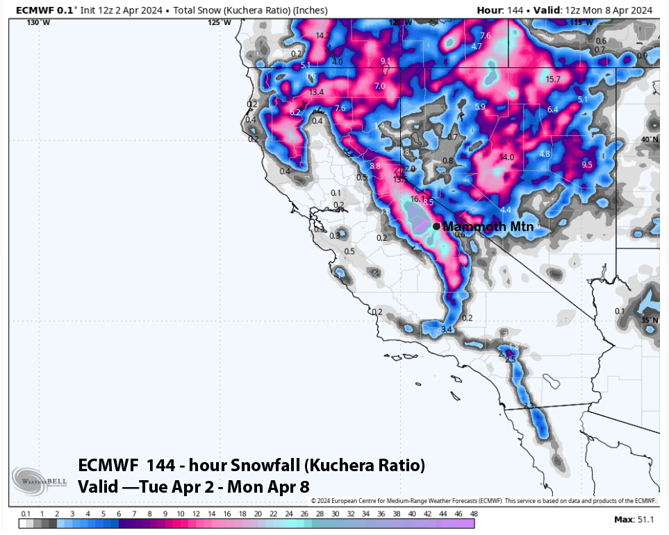
Powder Forecast –Tuesday April 2nd, 2024
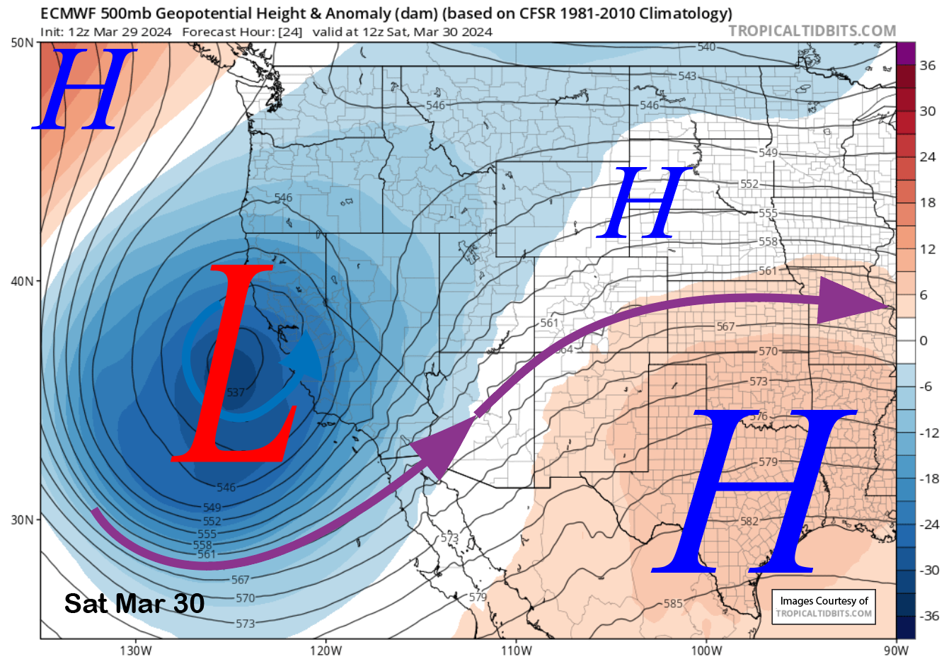
Powder Forecast –Friday March 29th, 2024
Mammoth Mountain Recreational Weather & Travel Forecast
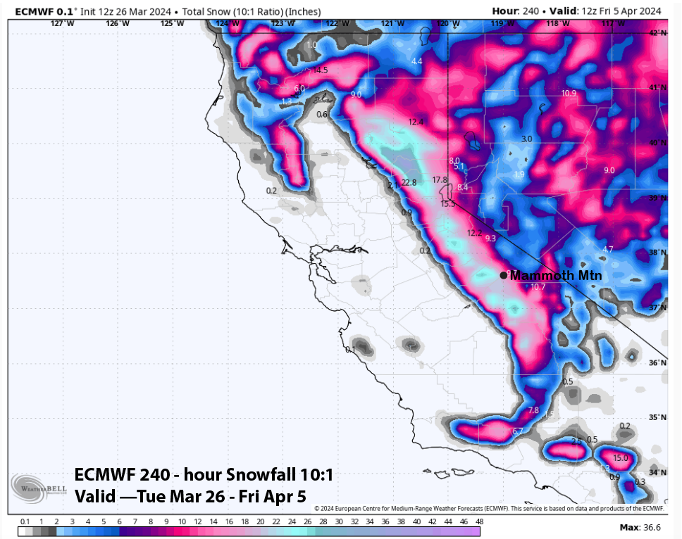
Powder Forecast –Tuesday March 26th, 2024
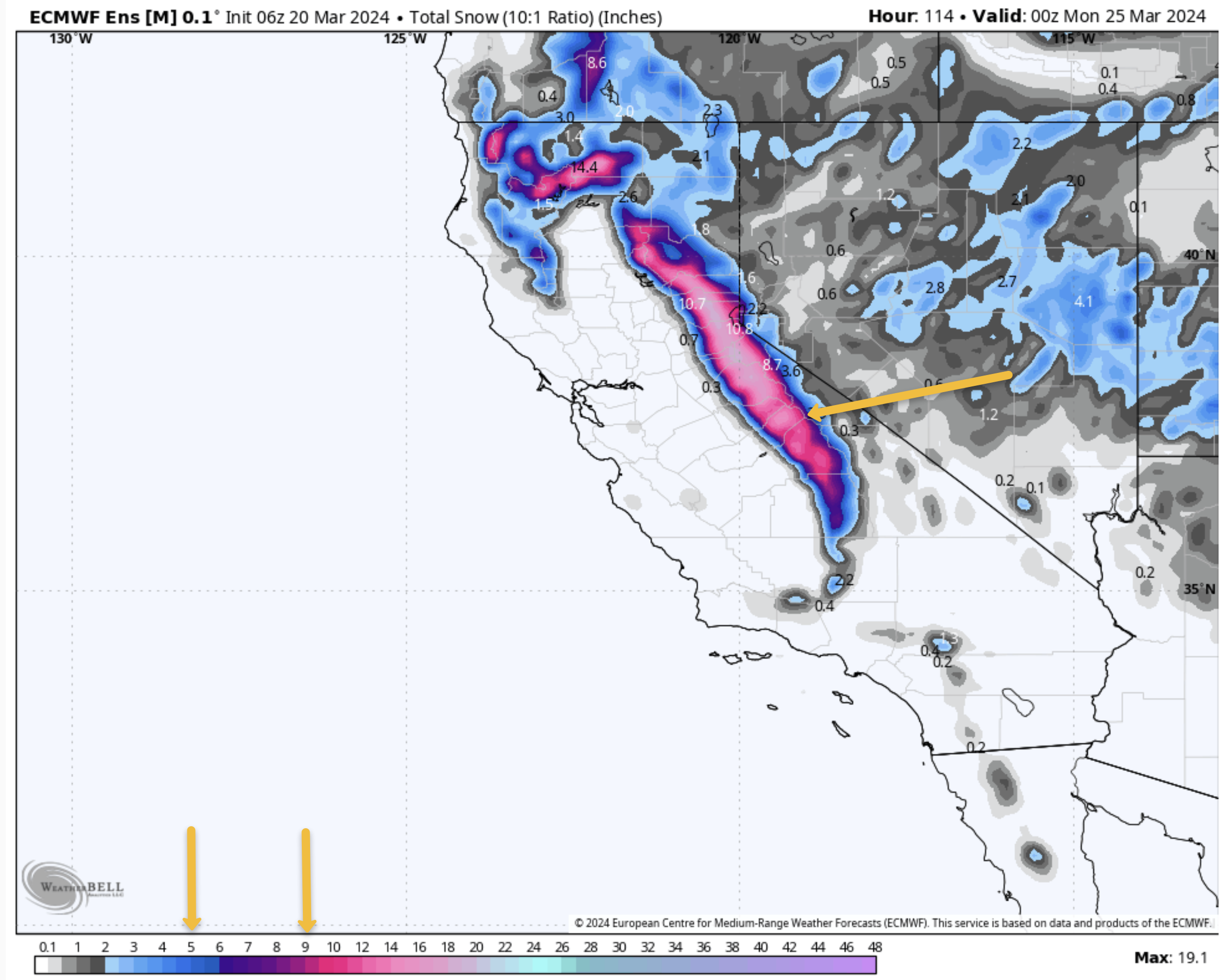
Mammoth Mountain Recreational Weather & Travel Forecast
Mammoth Mountain Recreational Weather & Travel Forecast
Powder Forecast – Friday, March 15th, 2024
Powder Forecast –Tuesday March 12th, 2024
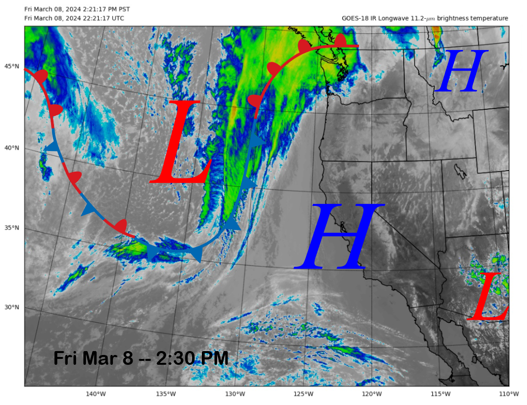
Powder Forecast – Friday March 8th, 2024
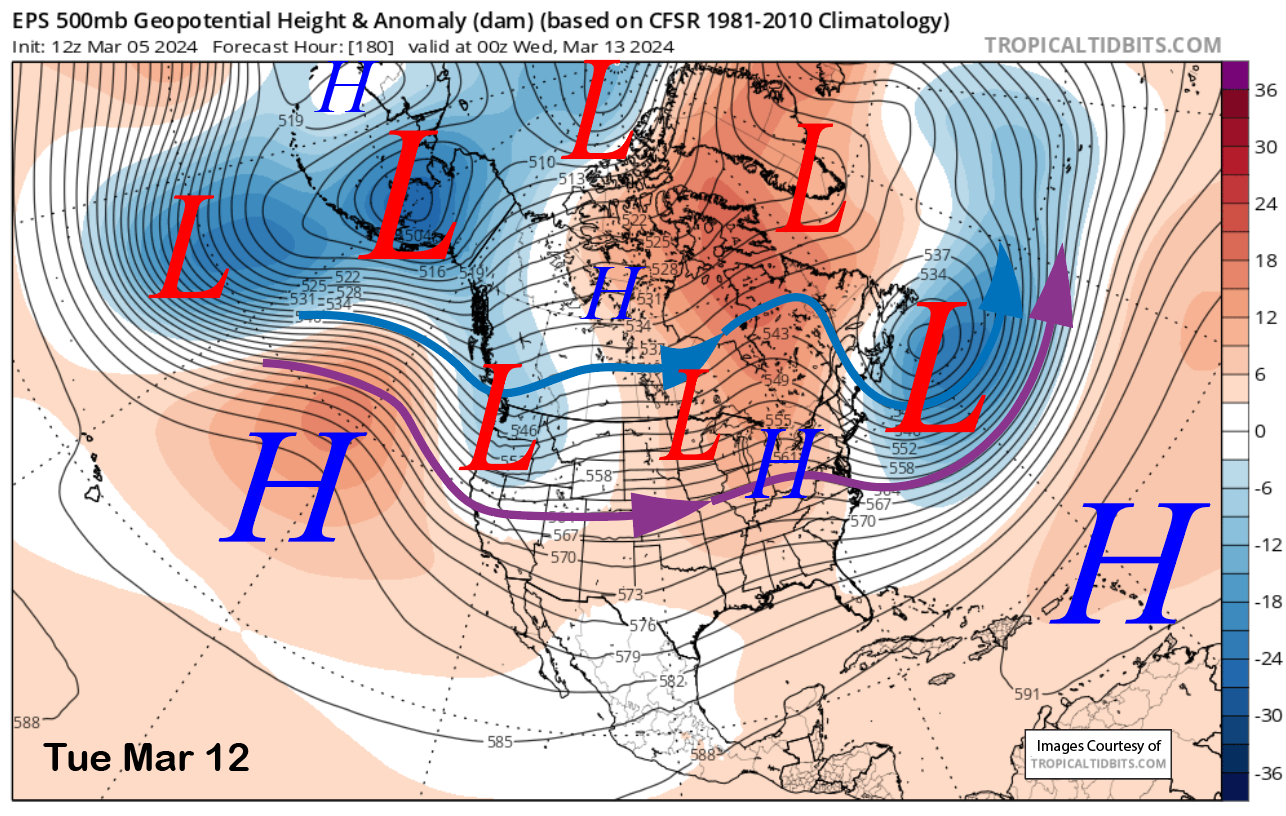
Powder Forecast –Tuesday March 5th, 2024
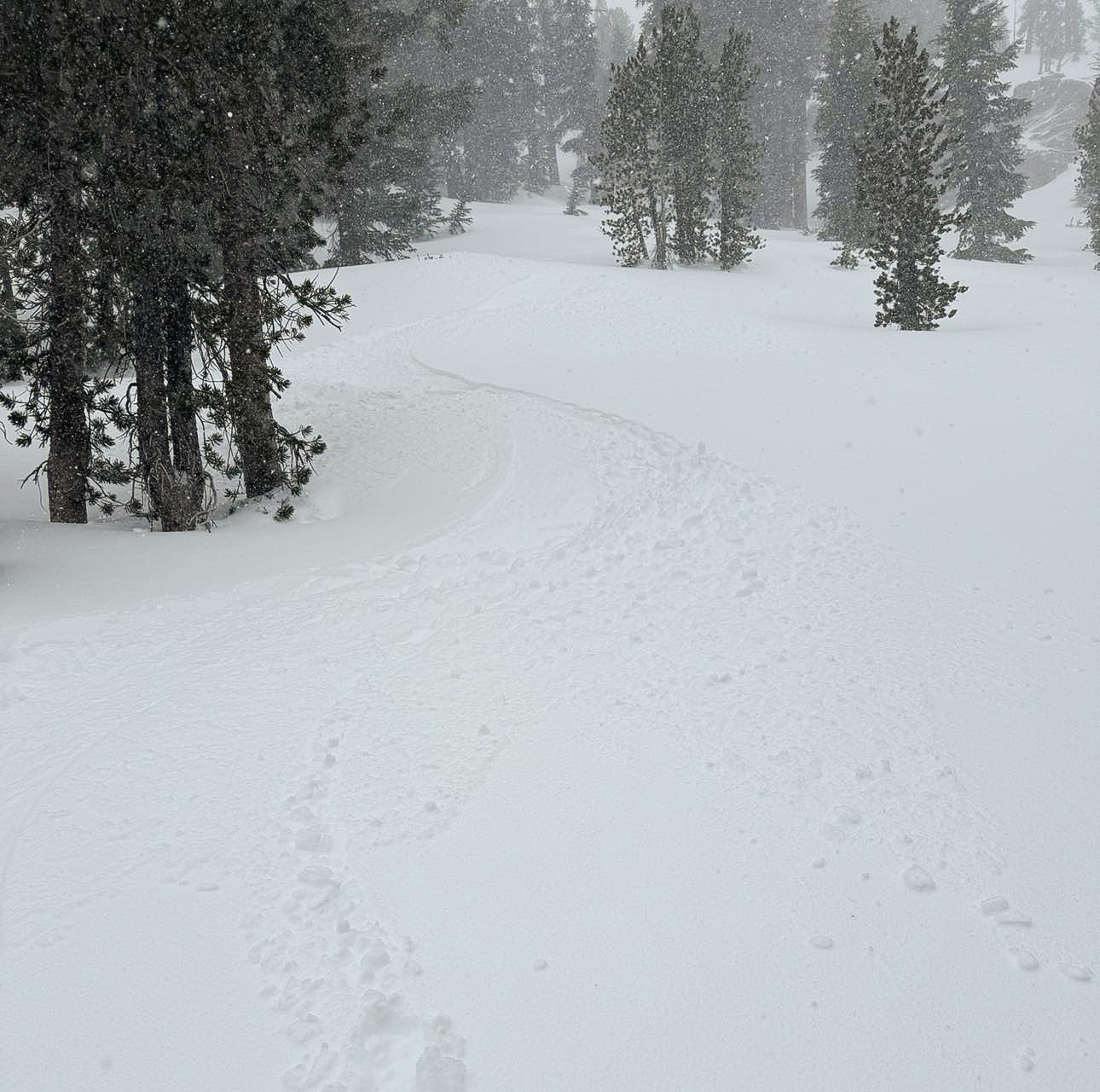
Mammoth Snowman Saturday Morning Storm Update
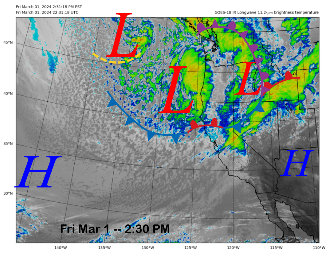
Powder Forecast –Friday March 1st, 2024
Mammoth Mountain Recreational Weather and Travel Forecast
Mammoth Mountain Weather Update
Powder Forecast – Tuesday February 27th, 2024
Mammoth Mountain Recreational Weather & Travel Update
