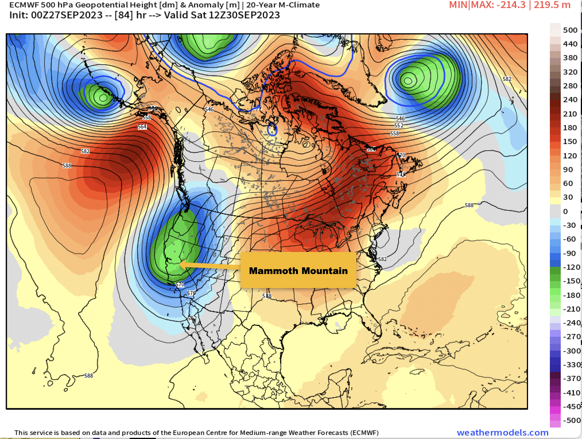
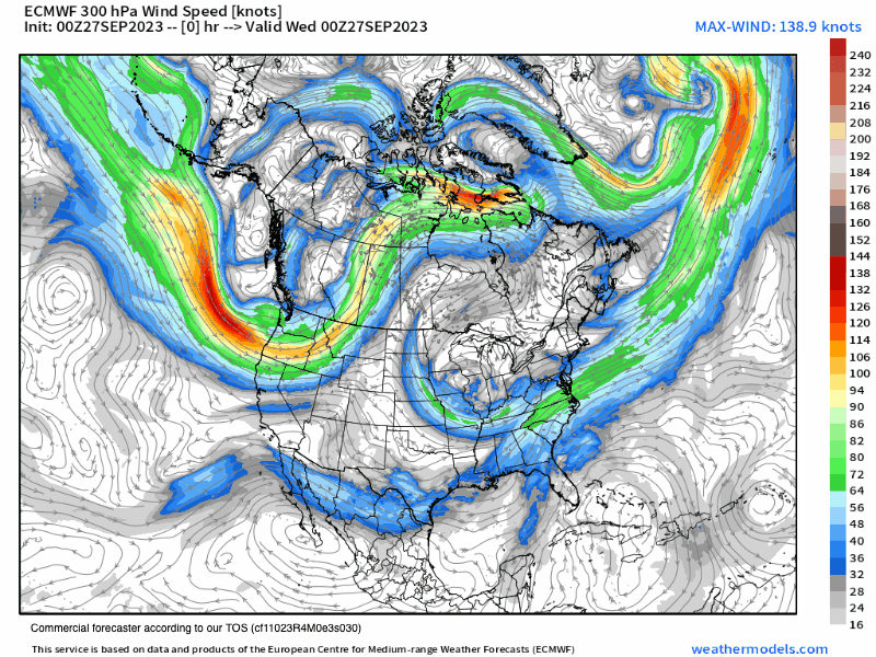
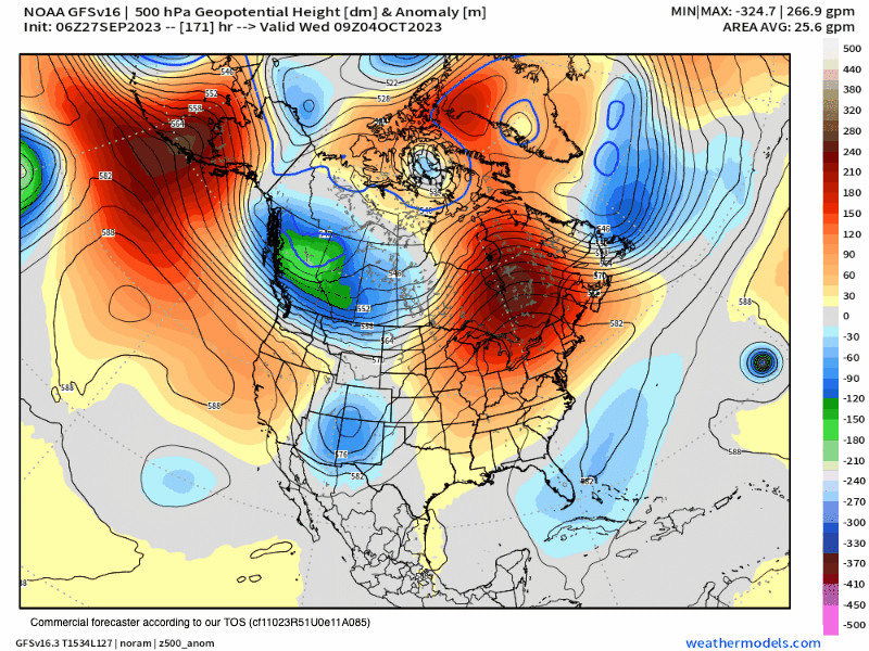
September 27th, 2023 @ 6 AM – Forecast Summary: The days of late Summer-type weather will come to a quick end over the next 36 hours as a deep low will slide down just to the east of the Sierra Crest Friday into early Monday.
Over the next 48-72 hours, temperatures will drop around 20 degrees in all areas. All areas above the 5500 elevation mark should see a full-on freeze by the weekend and into at least next Monday.
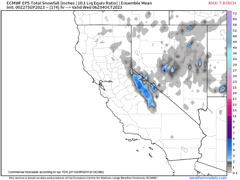
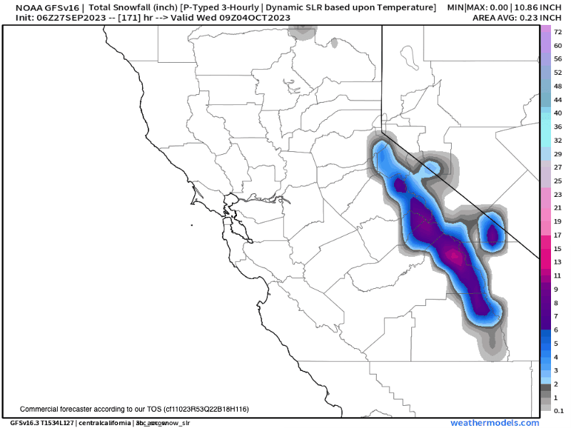
Moderate winds should return by Friday, and yes, there is some snowfall expected later Saturday into early Sunday. This morning’s data supports the first dusting of white over the higher elevations of Mammoth Mountain by sunrise on Sunday.
The snow levels look to remain above the 8500 to 9000-foot levels, possibly dropping into the upper reaches of town early Sunday.
Snowfall amounts at the 9000-foot level could add up to dusting to a couple of inches, with 1-2+ inches possible over the higher elevations.
The ground is still warm, so that will limit any accumulations. With it being so early in the Fall, expect any snow that does accumulate to melt off rapidly.
If the low tracks are a bit more west, there could be more snow than is in the forecast. SM…
 Mammoth Mountain: (at the 8900-foot level) temperatures will be in the low to mid-60s through Thursday. Early morning lows will be in the low to mid-40s. Winds will be out of the southwest around 10 MPH with gusts up to 25-30 MPH.
By Friday, temperatures will drop about 5-7 degrees with a mid-day high around 55 and then down into the upper 30s for Saturday and Sunday with a 60% chance of Snow Showers.
Mammoth Lakes: (at the 7900-foot level) temperatures will be in the low to mid-70s through Thursday. With lows in the upper 30s to lower 40s. Winds will be out of the southwest around 5-15 mph, with gusts to 25 MPH possible at times.
By Friday, temperatures will drop about 5-7 degrees with a mid-day high around 65 and then down into the mid-40s for Saturday and Sunday with a 60% chance of rain or snow Showers.
Crowley & Toms Place: (at the 6800-foot level) temperatures will be in the low to mid-70s through Thursday. With early morning lows in the upper 30s to low 40s. Winds will sometimes be out of the west around 5-10 mph.
By Friday, temperatures will drop about 5-7 degrees with a mid-day high around 68 and then down into the upper 40s to low 50s for Saturday and Sunday with a 60% chance of rain showers.
Bishop: (at the 4100-foot level) temperatures will be in the mid to upper 80s through Thursday. Late-night lows will be in the mid to upper 40s. Winds will be southwest around 5-10 mph during the afternoon hours.
By Friday, temperatures will drop about 5 degrees with a mid-day high around 83 and then down into the mid to upper 60s for Saturday and Sunday with a 30% chance of rain showers.
Fall Colors: What looked to be an early start to the Fall Color season has now turned into a delayed start. I saw bits of color starting to show in many of the cottonwood and aspen trees when I drove up to Mammoth Mountain and back to Bishop on Sunday. I did see a post from Rock Creek Canyon that had higher elevation colors. Have not verified it that image was this week or last year.
Snowman


Current Satellite View

7 Day Accumulated Precipitation Forecast

7 Day Accumulated Snowfall Forecast

Temperature Forecast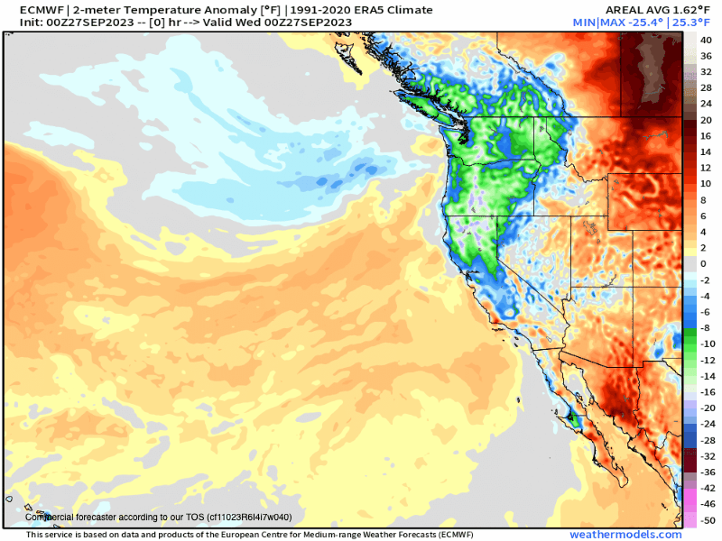
Wind Forecast
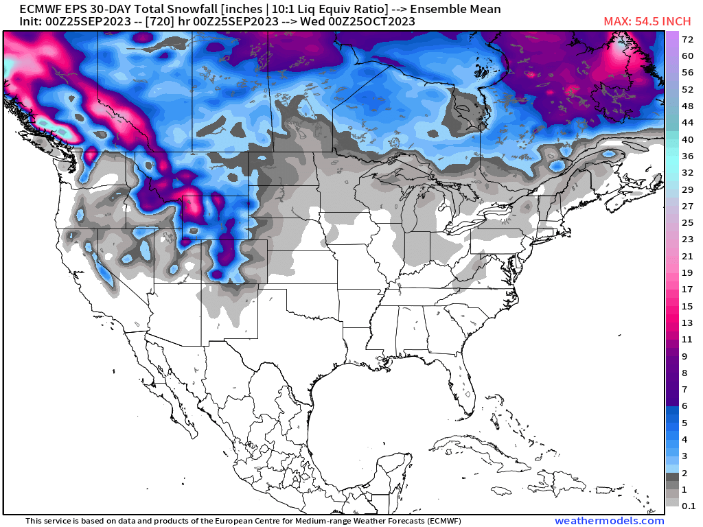
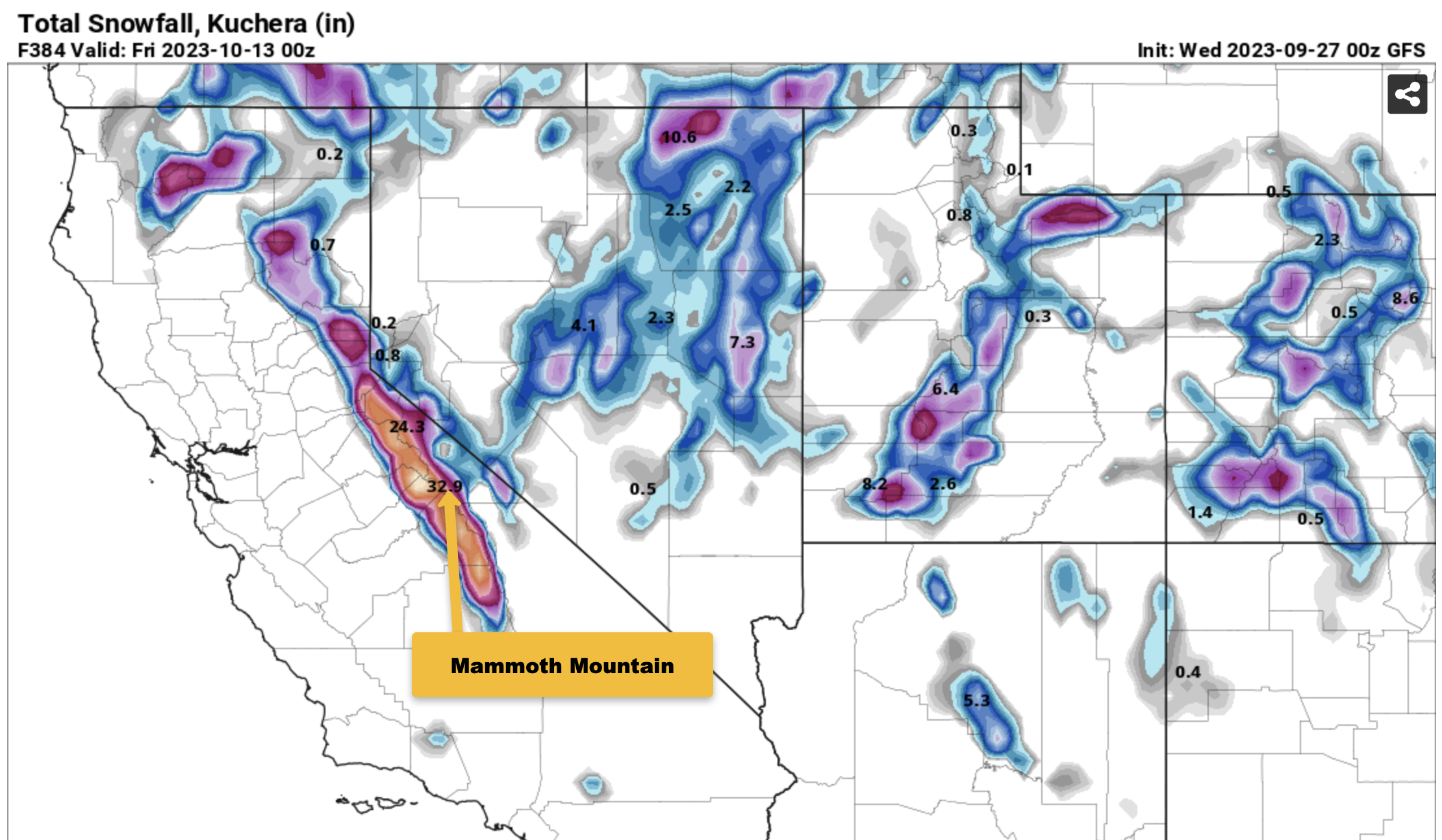
Last nights GFS was even more off the charts with is usually hype. This model has been having runs like this with big snows and then it backs off. Fun to watch and dream about.
____________________________________


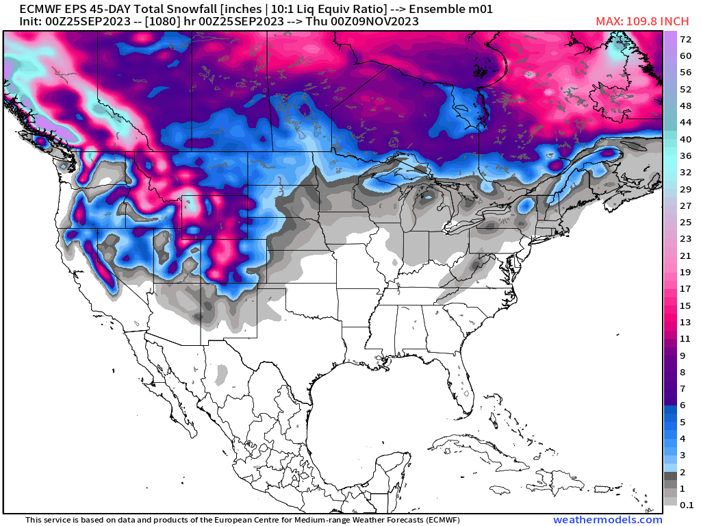
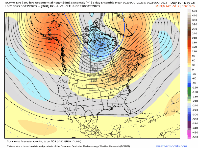
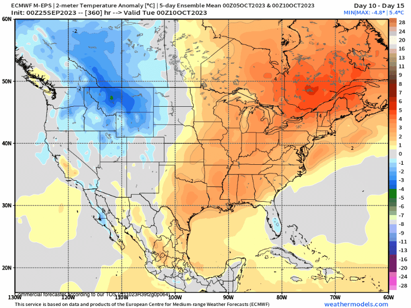
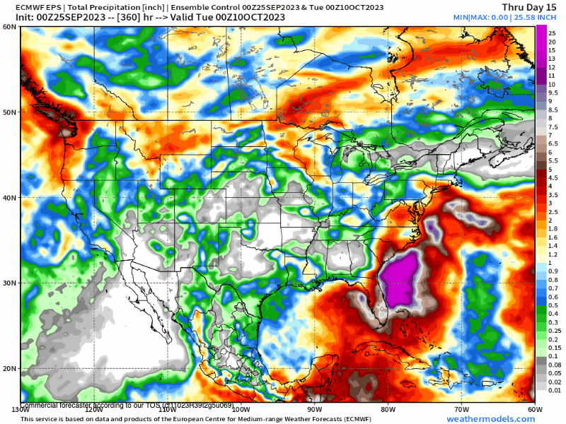
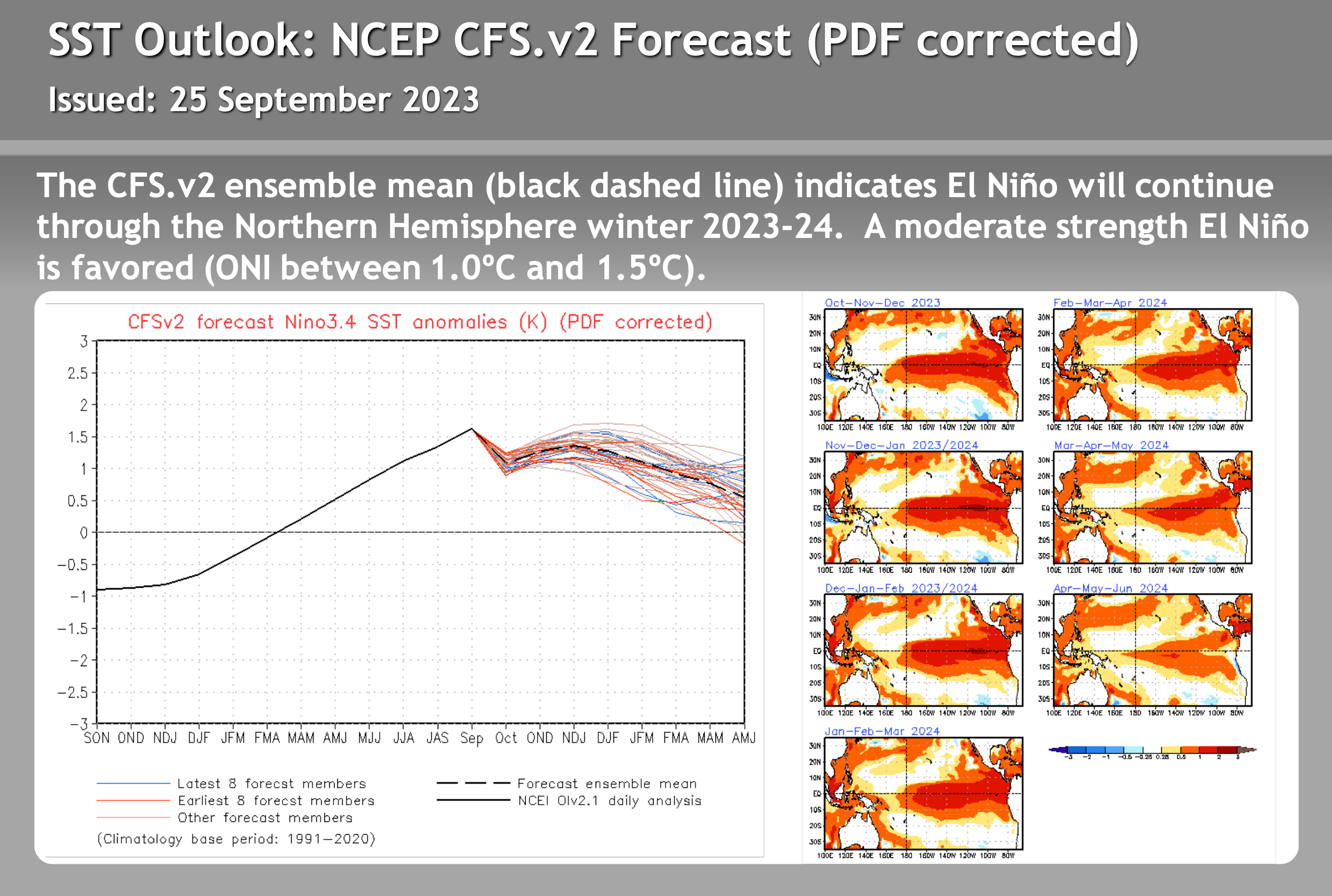
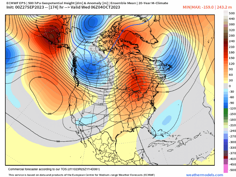
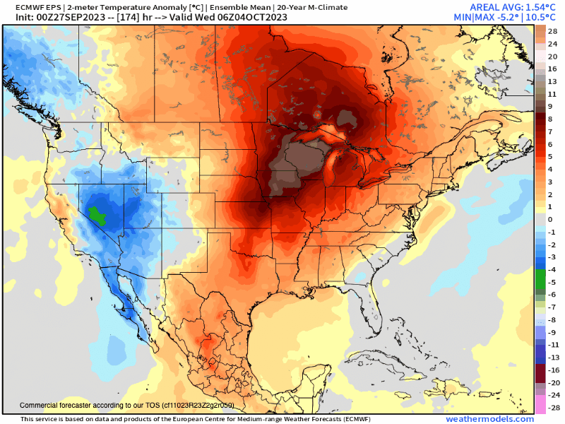
45-Day EPS Precipitation Outlook – 9-26-2023
This ultra fantasy weather model updates every 3 to 4 days; it’s an excellent model to watch for trends ahead. On the run below, you can see at the end of October into early November; there is long wave troughing with cooler air over Mammoth Mountain and the Eastern Sierra. The mean at this time is trending toward precipitation around that time frame. That would be good timing for a decent opener. I can’t wait to see what the next few runs show. SM