March 1st, 2023 @ 11:37 AM – Expect skies to clear out during the overnight hours with mostly clear conditions expected for Thursday and Friday as the area gets a much-needed break.
Saturday will be a transition day back to storminess with increasing clouds and winds with snow showers expected by the afternoon hours. By Sunday the next system will be in the area with more moderate to heavy snowfall possible at 15-1 snow ratios.
Snowfall from this next system looks to be in the 2-3 foot range for elevations above 8000 feet with much less snowfall down below the 7500-foot levels. There is a good chance 395 will be able to stay open as the next system rolls thru on Sunday and Monday.
If you’re going to be out on the hill Thursday, expect clearing skies with morning lows in the single digits climbing into the upper 20s to low 30s by mid-day. Winds will be northeast 20 to 25 mph becoming north at 10 to 15 mph in the afternoon. Winds could gust as high as 35-50 mph over higher elevations and ridge lines.
By Friday expect more clear skies with highs in the mid-20s to lower 30s. Winds will be out of the W at 5 to 15 MPH with with gusts to 20-30 mph.
Saturday will be highlighted by increasing clouds and gusty SW winds with a chance of snow showers by the afternoon hours. Sunday at this times looks like Riders of the Storm Day with Heavy Snow and Strong winds over Mammoth Mountain.
Snowman
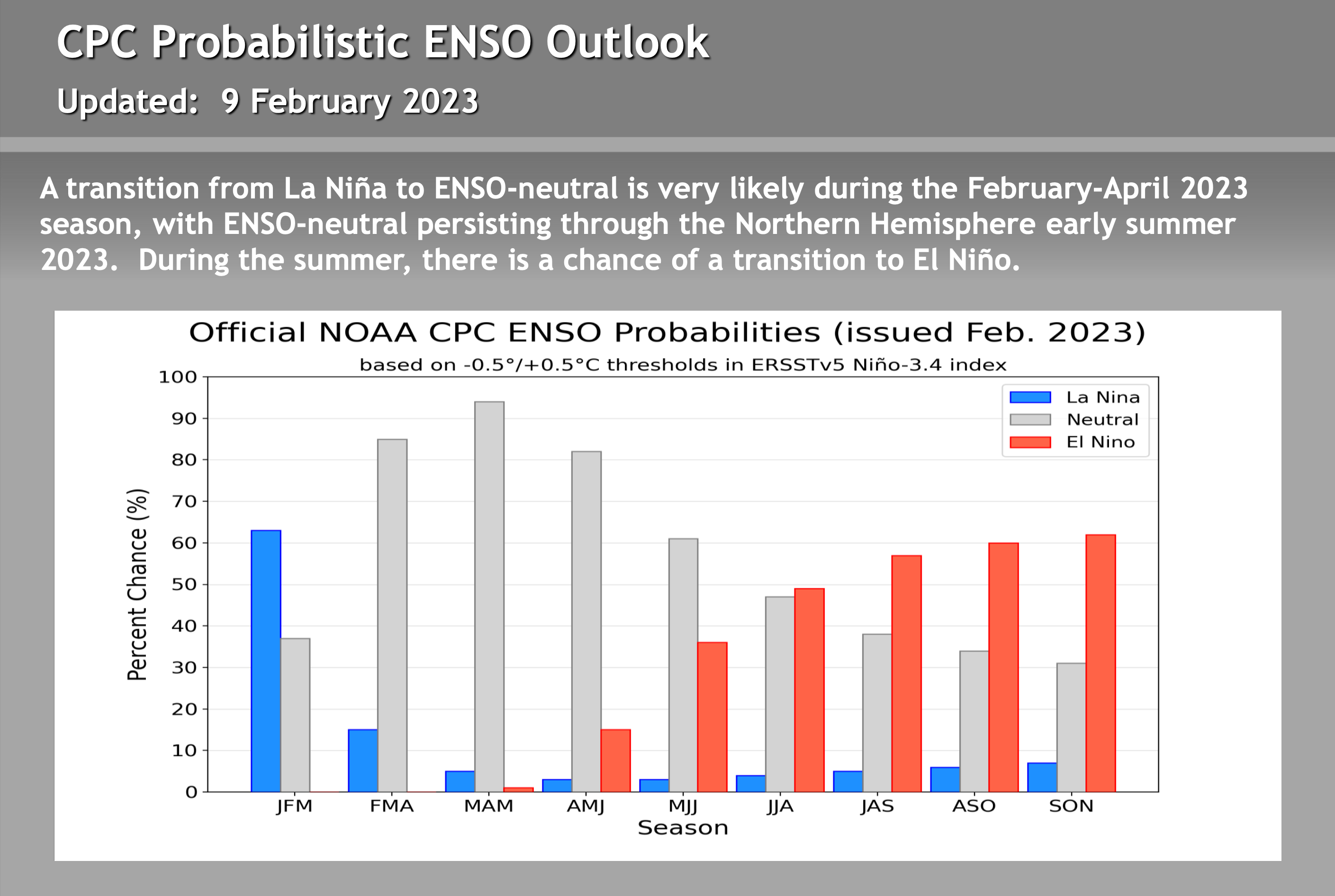
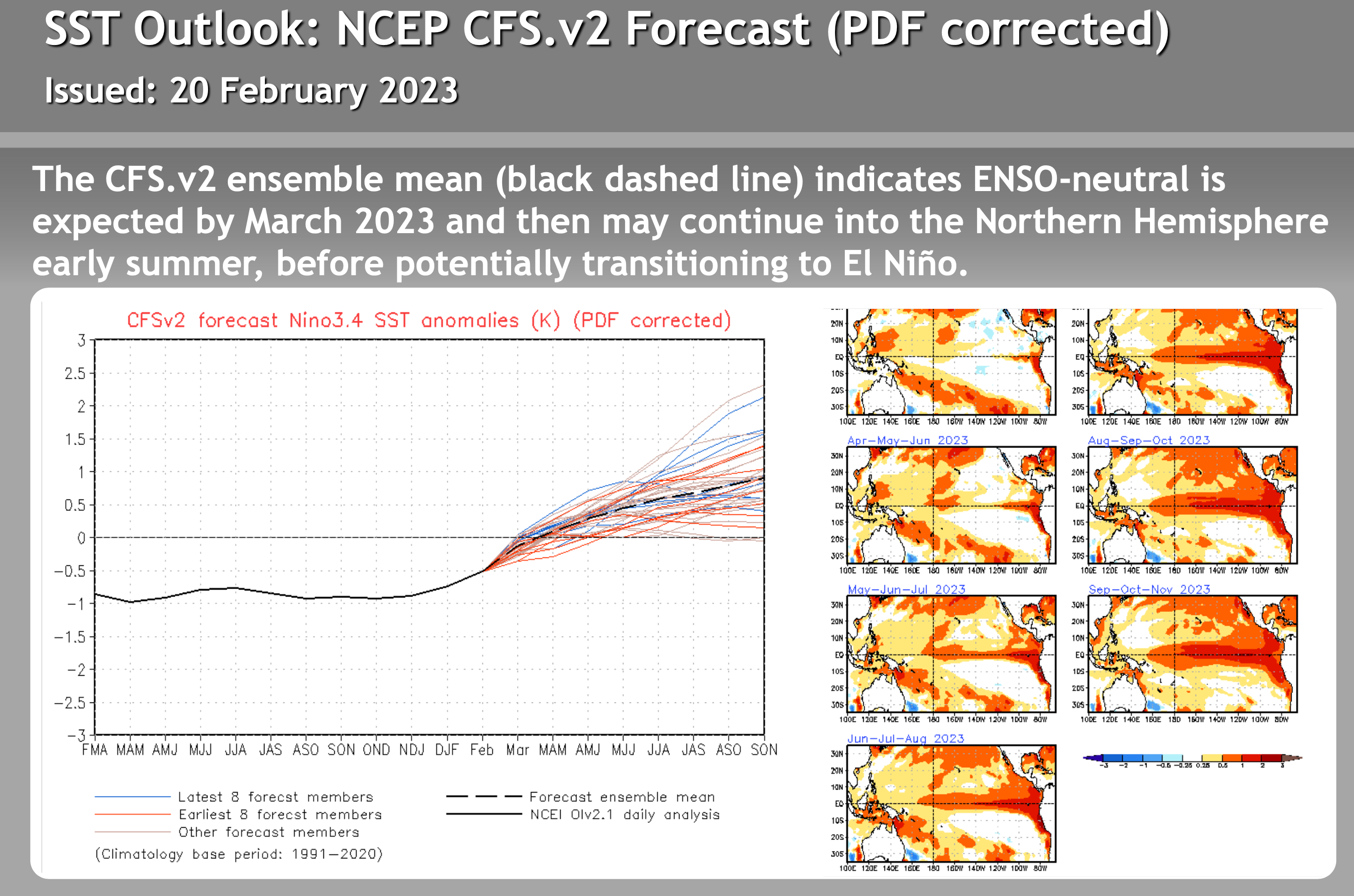
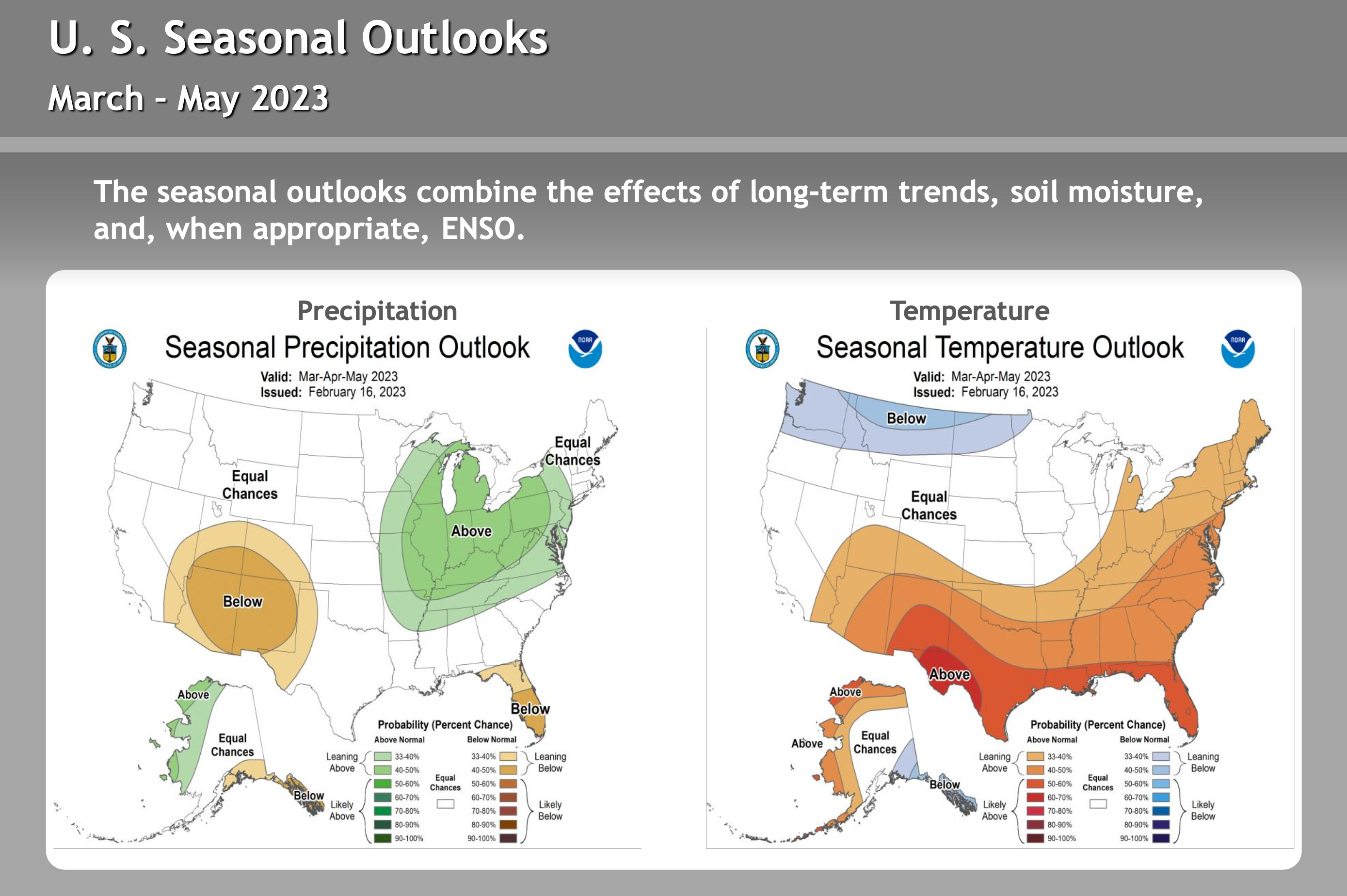
For the Powder Forecast and the Extended Outlook check out the WeatherGuys Tuesday Update


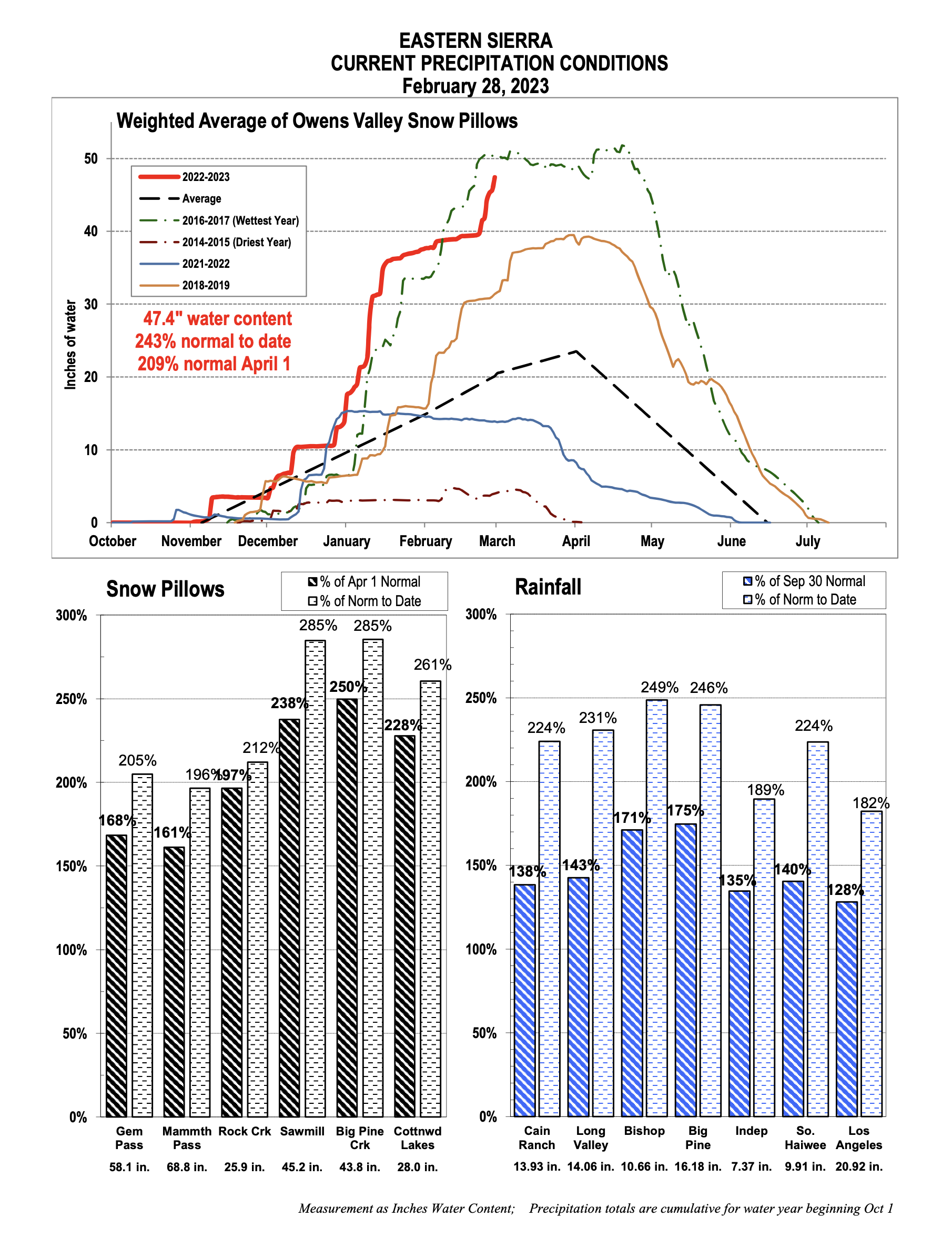
Current Precip Conditions for the Cental Sierra from DWP